Protected landscapeBaden-Württemberg
About 5.8 km away#1 closest
Northeast

Oberes Filstal-Stadt Wiesensteig: Protected Landscape and Regional Geography Mapping
An atlas overview of the Mittlere Kuppenalb landscape mosaic
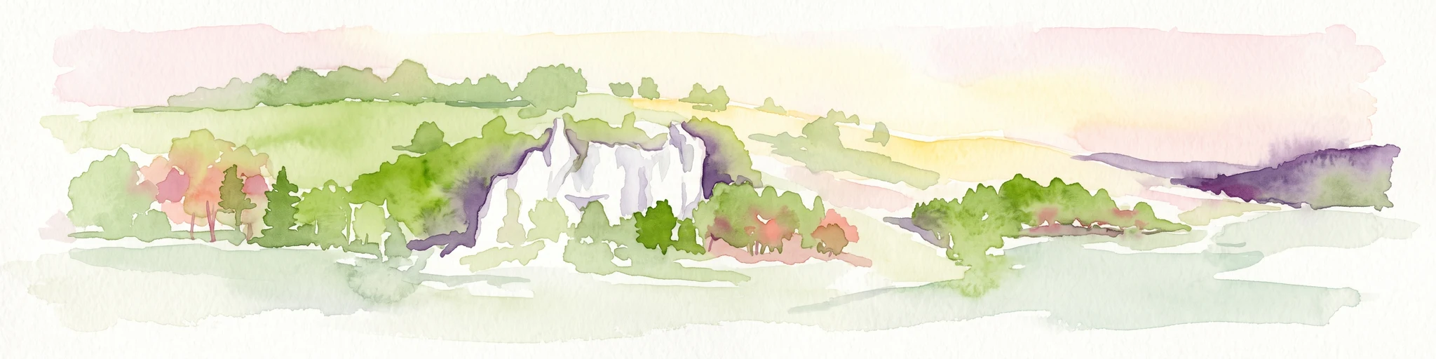
Covering roughly 171 hectares around Wiesensteig, this protected area serves as a vital component of the central Swabian Alb geography. The site features an undulating karst terrain characterized by a dense forest mosaic, hedgerows, and historic pastoral features. Through its alignment with local Natura 2000 sites, it forms a cohesive ecological bridge between the upper Fils valley and the surrounding high plateau.
- Area
- 1.71 km²
- Established
- 1985
- IUCN
- V
- Relief
- Highland