Why Sorno-Rosendorfer-Buchten stands out
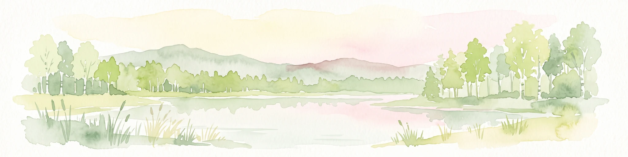
The reserve is best known as a living example of how a devastated mining landscape can regenerate into a mosaic of lakes, wetlands, and dry grasslands within a single protected area. Its flooded former opencast pits now form interconnected bays lined by emergent vegetation, while the surrounding reclaimed soils host some of the rarer pioneer and dry-grassland plant communities of the region. Equally distinctive is the reserve's mix of new and old habitats: young pioneer vegetation on mining spoil sits alongside older forest patches that escaped exploitation, creating an unusually rich ecological patchwork for an area so recently created.
Sorno-Rosendorfer-Buchten history and protected-area timeline
The reserve's history is inseparable from the lignite industry that once dominated the Senftenberg region. In the twentieth century, large areas around Senftenberg were excavated by opencast mining, and the villages of Sorno and Rosendorf were eventually lost to the expanding pits of Tagebau Sedlitz and Tagebau Koschen. The very name of the protected area preserves a record of these vanished settlements.
After mining ceased, the pits were allowed to fill with water, gradually transforming worked-out ground into a chain of new lakes with irregular shorelines and sheltered bays. Over subsequent decades, natural succession took hold on the disturbed soils, and ecologists began to recognize the ecological value of the resulting habitats.
In the early twenty-first century, as the Lusatian lake district took shape as a coordinated regional project, the area around Sorno and Rosendorf was identified as deserving formal protection. An ordinance dated 10 April 2014 established Sorno-Rosendorfer-Buchten as a nature reserve, with the official designation date recorded as 15 April 2014. Since then the reserve has been managed primarily for habitat and species conservation rather than recreation.
Sorno-Rosendorfer-Buchten landscape and geographic character
The landscape is defined by an unusual combination of flooded mining pits and reclaimed land. The bays, or Buchten, that give the reserve part of its name are narrow inlets of water left over from the former opencast workings; their calm, sheltered margins contrast with the more open expanses of neighboring lakes such as the Senftenberger See, Sedlitzer See, and Geierswalder See.
Much of the surrounding land is relatively flat, reflecting its origin as mining spoil and reclaimed terrain. The soils tend to be sandy and poor in nutrients, which has slowed succession in some areas and allowed dry grassland and heath-like vegetation to persist. To the south, the Schwarze Elster river traces the broader regional drainage, while the federal B 96 road runs along the western edge.
A distinctive feature is the Sornoer Kanal, a canal that cuts through part of the reserve and leads to the observation tower known as Rostiger Nagel, whose weathered steel form has become a local landmark of the regenerated mining landscape.
Sorno-Rosendorfer-Buchten ecosystems, habitats, and plant life
Ecologically, the reserve is shaped by the interaction between water and nutrient-poor, disturbed land. The bays and lake margins support floating-leaf zones, where plants such as water lilies root in shallow sediment, and extensive reed belts that gradually transition into wet woodland and scrub. These aquatic and semi-aquatic zones are among the most biologically active parts of the site.
On drier ground, pioneer communities colonize open, sandy spoil heaps, often developing into sand dry grassland, or Sandtrockenrasen, a habitat that is increasingly rare in densely settled parts of Germany. Remnants of older forest survive in scattered patches, providing contrasting mature woodland habitat within an otherwise young landscape. Together these habitats produce a varied mosaic in which open water, marsh, dry grassland, and woodland all lie within short distances of one another.
Sorno-Rosendorfer-Buchten wildlife and species highlights
The combination of quiet bays, extensive reed beds, and open dry land makes the reserve attractive to a wide range of species. The lakes and wetlands draw waterbirds, including white-tailed eagles, or Seeadler, which hunt over the open water and forest fringes, as well as common cranes, or Kranich, which use the marshy and shallow-water habitats. Reed beds host specialist passerines such as the great reed warbler, or Drosselrohrsänger, whose presence marks the quality of the larger reed stands.
On the drier mineral soils, invertebrates characteristic of pioneer habitats thrive, including the blue-winged sand grasshopper, a species closely associated with early-succession sandy grassland. These insects in turn support predatory birds and small mammals, linking the dry and wet sides of the reserve into a functioning food web. The mix of mature and young habitats allows species with very different ecological requirements to coexist within a compact area.
Sorno-Rosendorfer-Buchten conservation status and protection priorities
Sorno-Rosendorfer-Buchten has clear conservation significance as one of the younger reserves in the Lusatian lake district, established to lock in the ecological gains of natural regeneration before competing land uses could reverse them. Its IUCN Category IV status as a Habitat/Species Management Area emphasizes active management of habitats and species rather than strict wilderness preservation.
The reserve protects several habitat types that are nationally scarce: floating-leaf and reed communities along the bays, pioneer vegetation of post-mining landscapes, sand dry grasslands, and fragments of older forest. The combination of these habitats within a single site increases its value for species that depend on landscape-scale mosaics. By legally safeguarding the area, the 2014 ordinance also helps ensure that the recovering landscape is not fragmented by further development, and that succession is steered toward biodiversity rather than uniform commercial forest.
Sorno-Rosendorfer-Buchten cultural meaning and human context
Although the reserve is primarily valued for its natural character, its cultural significance is closely tied to the industrial history of the region. The names Sorno and Rosendorf, embedded in the reserve's title, recall two of the many Lusatian villages that were demolished and resettled to make way for opencast lignite mining. In this sense, the reserve functions as a place of remembrance as well as a site of ecological recovery.
The wider transformation of the Senftenberg mining area into a lake district is itself a cultural project, blending regional identity with environmental rehabilitation. Within that story, Sorno-Rosendorfer-Buchten represents the moment when a landscape shaped by extraction begins to be defined by protection, regrowth, and a new relationship between local communities and their surroundings.
Top sights and standout views in Sorno-Rosendorfer-Buchten
Sorno-Rosendorfer-Buchten offers a compact but unusually varied cross-section of the Lusatian lake district, with sheltered bays, extensive reed beds, dry sandy grasslands, and scattered older woodland all within a single reserve.
The mixture of very young habitats on former mining sites and fragments of older forest gives the site an ecological texture rare in such a recently protected area. For visitors interested in landscape transformation, the canal leading to the Rostiger Nagel observation tower provides an accessible way to view the interplay of water, reclaimed land, and developing vegetation.
Best time to visit Sorno-Rosendorfer-Buchten
Seasonal character at Sorno-Rosendorfer-Buchten is shaped by water levels, vegetation cycles, and bird activity. Late spring and early summer tend to bring the most vigorous growth in reed beds and floating-leaf zones, while also being a productive period for observing waterbirds and reed specialists such as the great reed warbler.
Autumn can be a rewarding time for cranes and other migratory birds, as well as for quieter walking conditions along the canal corridor. In winter, when deciduous vegetation dies back, the open bays and contrasting sandy grasslands become easier to read as a landscape, though access and visibility depend on weather and any seasonal restrictions on internal roads.