Why Strohauser Vorländer und Plate stands out
Strohauser Vorländer und Plate is best known as one of the most important meadow-bird and reedbed sites along the tidal Lower Weser. It combines extensive, traditionally managed wet grassland on a large river island with one of the region's most extensive freshwater tidal flat and reedbed complexes. The reserve is also recognized for its role in the EU Birds Directive network through its inclusion in the Unterweser bird protection area, which links it to other key sites in the Wesermarsch such as the nearby Juliusplate reserve. Its combination of dike forelands, side-arm channels, and island meadows makes it a textbook example of a protected tidal freshwater landscape in northwestern Germany.
Strohauser Vorländer und Plate landscape and geographic character
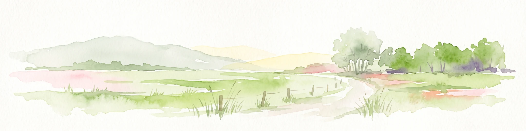
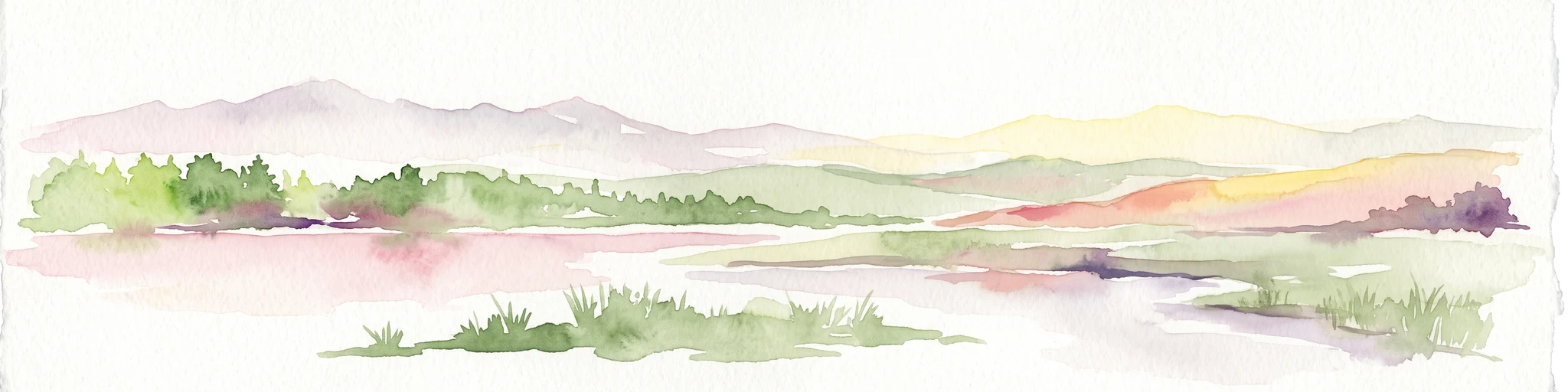
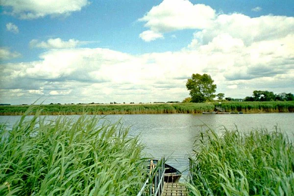
The landscape of Strohauser Vorländer und Plate is a low-lying tidal wetland landscape shaped by centuries of interaction between the Weser river, the North Sea tides, and human efforts to manage flooding through dikes and drainage. Elevations lie between roughly 0 and 3 meters above sea level, giving the reserve a character that is defined more by water and vegetation patterns than by relief.
The area combines several distinct landscape units. Along the left bank of the Weser, a stretch of dike foreland runs between the Butjadinger drainage canal near the former Unterweser nuclear power plant site and the L 889 county road that serves as the approach to the Brake–Sandstedt ferry crossing. Inland from this strip, the Schweiburg, a side branch of the Weser, creates a slow-moving secondary waterway lined with sluices and reed vegetation. At the heart of the reserve lies the Strohauser Plate, the largest of the Weser islands in this section, which is itself a mosaic of summer-dike-protected meadows, winter-flooded foreland, reed islands, and tidal flats.
Much of the island's grassland lies behind summer dikes that permit traditional seasonally flooded land use, while areas outside the summer dikes remain subject to the natural rhythm of tides and seasonal flooding. This combination of protected and freely moving water levels is one of the defining landscape characteristics of the reserve and a major reason for its ecological richness.
Strohauser Vorländer und Plate ecosystems, habitats, and plant life
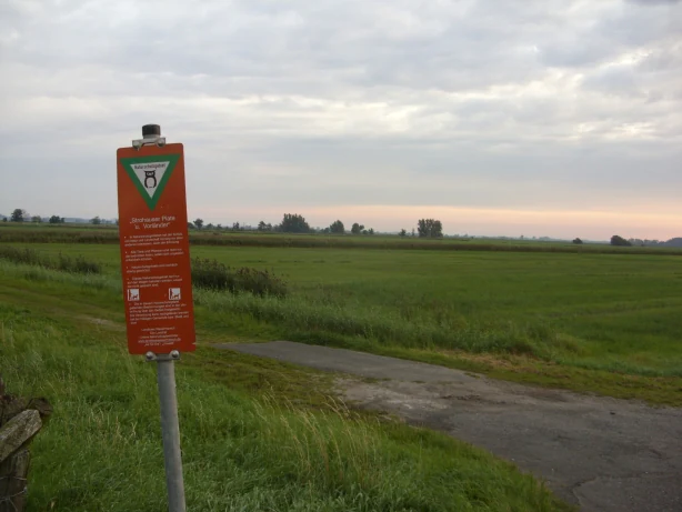
The nature of Strohauser Vorländer und Plate is defined by the unusual combination of freshwater tidal dynamics and traditionally managed grassland. The reserve lies in the freshwater tidal reach of the Lower Weser, where river flow still exceeds marine influence but tides create a regular rise and fall in water levels across the channels, forelands, and island meadows. This produces a habitat mosaic that is quite different from both inland wet meadows and the saline Wadden Sea coast further downstream.
The dominant habitats include extensive, lightly managed wet grassland, dense reedbeds dominated by common reed (Phragmites) and reedmace (Typha), relict patches of alluvial hardwood forest (Auwald), and freshwater tidal flats (Süßwasserwatt). Ditches and smaller channels cut through the grassland, providing additional aquatic edge habitat. Aquatic plants such as swan's flower (Butomus umbellatus) and arrowhead (Sagittaria) grow along these ditches, contributing to the botanical diversity of the area.
Because nearly the entire area is included in the EU Birds Directive site Unterweser and more than half overlaps with the Habitats Directive site Untere Weser mit Strohauser Plate und Juliusplate, the reserve also functions as part of a larger Natura 2000 network. This integration strengthens its role as a hub for wetland species conservation along the Lower Weser corridor.
Strohauser Vorländer und Plate wildlife and species highlights
Wildlife is a defining feature of Strohauser Vorländer und Plate, and the reserve's protection objectives are strongly oriented toward its bird community. The wet meadows of the Strohauser Plate are an important breeding area for meadow birds such as lapwing, black-tailed godwit, redshank, Eurasian curlew, oystercatcher, and corncrake, while the surrounding reedbeds and ditches host marsh harrier, bluethroat, whinchat, reed bunting, reed warbler, marsh warbler, sedge warbler, Savi's warbler, chiffchaff, willow warbler, cuckoo, skylark, and yellow wagtail.
The ditches in the grassland also support breeding and feeding populations of ducks, including northern shoveler and tufted duck. The water channels and side arms of the Weser provide spawning and feeding habitat for anadromous and resident fish species, notably twait shad, river lamprey, and sea lamprey. Wetland mammals are represented by the pond bat, which uses the area as a foraging ground.
Larger, wider-ranging species also make use of the reserve, including white stork, bittern, and great egret, which visit to feed. Long-term monitoring has documented significant population declines in some meadow birds between 1990 and 2014; lapwing breeding pairs fell from 85 to 28, black-tailed godwit from 80 to 9, and redshank from 40 to 7, trends attributed mainly to insufficient soil wetness in the breeding season. These figures have helped motivate conservation management aimed at restoring wetter grassland conditions.
Strohauser Vorländer und Plate conservation status and protection priorities
Strohauser Vorländer und Plate is primarily a habitat and species management area (IUCN Category IV), focused on maintaining and restoring a coherent complex of tidal freshwater habitats. Its legal foundation dates to 13 December 2007, when the area was formally designated as a Lower Saxon nature reserve (NSG WE 260 under the Landkreis Wesermarsch authority). The overarching conservation goal is to protect the area's mosaic of grassland, reedbeds, freshwater tidal flats, and side-arm channels and to ensure they continue to function as breeding and feeding habitat for characteristic bird and fish species.
The reserve's significance is strongly tied to Natura 2000. It lies entirely within the EU Birds Directive site Unterweser, and more than half of its surface also belongs to the Habitats Directive site Untere Weser mit Strohauser Plate und Juliusplate. This dual designation links the local reserve to broader conservation planning for the Lower Weser and the Wadden Sea region and gives it additional requirements under European nature protection law.
Conservation management has a long history even before the formal designation. The Mellumrat association managed the area from 1990 to the end of 2014, overseeing both meadow-bird monitoring and practical habitat management, and published detailed work on breeding birds, vegetation, and the effects of management on wet grassland species. The decline in wading bird numbers recorded during this period underscored the importance of improving soil wetness and maintaining the traditional summer-dike flooding regime, and continues to shape conservation priorities on the Strohauser Plate today.
Top sights and standout views in Strohauser Vorländer und Plate
The reserve protects one of the larger coherent freshwater tidal landscapes remaining on the Lower Weser, with a rare combination of dike forelands, river island meadows, a side-arm channel (the Schweiburg), and extensive freshwater tidal flats and reedbeds. It is a key breeding and feeding area for meadow birds such as lapwing, black-tailed godwit, and redshank, and for reedbed specialists including marsh harrier, bluethroat, and several warbler and reedling species. The Weser island Strohauser Plate itself, roughly 470 hectares with around 220 hectares of grassland and 230 hectares of reedbed, forms the visual and ecological heart of the area.
The reserve is fully part of the EU Birds Directive site Unterweser and partially part of the Habitats Directive site Untere Weser mit Strohauser Plate und Juliusplate, anchoring it within the European Natura 2000 network of protected wetland sites. Long-term meadow-bird and vegetation monitoring, begun by the Mellumrat in 1990, has made Strohauser Plate one of the best-documented wet grassland sites in the Wesermarsch.
Best time to visit Strohauser Vorländer und Plate
The reserve is a low-lying tidal wetland, so the character of a visit is strongly shaped by the seasons and the tidal cycle. Spring and early summer are the most rewarding periods for birdwatching, when meadow birds such as lapwing, black-tailed godwit, and redshank are displaying and breeding on the island's grassland, and reedbed species are active in the marshes. Winter and late autumn bring higher water levels, when traditional polder flooding and natural tidal dynamics create wide open water and exposed flats, attracting larger numbers of waterfowl and waders.
Because the area is essentially flat and exposed, weather conditions strongly influence visibility and accessibility. Calm, dry days are most suitable for observing birds across the open meadows, while periods of higher water tend to push birds toward the dike edges and channels where they can be watched more easily. Visitors should expect a landscape that is more about open sky, water, and birdlife than about dramatic scenery, regardless of season.