Mori Atlas logo
Park earthquake history

Review historical epicentre data, magnitude logs, and geological distance markers near the escarpment.

Recorded Seismic Activity and Earthquake History for uKhahlamba-Drakensberg Park

This collection presents a structured catalogue of seismic records associated by location with the uKhahlamba-Drakensberg Park landscape. The records provide transparent access to USGS data including event dates, earthquake depths, and measured distances from the park boundaries. Users can examine this historical archive to understand the frequency and spatial distribution of recorded activity in this complex mountain and grassland environment.

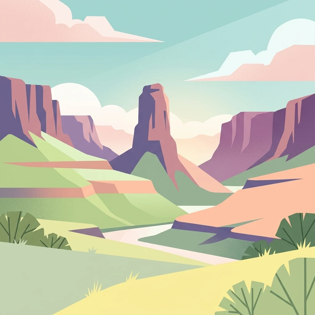
A minimalist flat illustration of a canyon landscape with a winding river, steep rock formations, and arid vegetation under a soft sky.

South Africa's high-altitude escarpment sanctuary and a UNESCO World Heritage landscape of basalt cliffs and ancient rock art.

uKhahlamba-Drakensberg Park

The uKhahlamba-Drakensberg Park is a protected area in the KwaZulu-Natal province of South Africa, anchored on the eastern slopes and summit zone of the Drakensberg escarpment, the highest mountain range in southern Africa. The park brings together multiple reserves and wilderness areas, including the well known Royal Natal National Park, into a single continuous landscape that rises from sub-montane valleys toward a dramatic basalt plateau. The park forms the South African part of the Maloti-Drakensberg Park, a transboundary UNESCO World Heritage Site shared with Lesotho, where it connects with Sehlabathebe National Park. UNESCO has recognized the area for its sweeping natural beauty, its diverse habitats that shelter endemic and threatened species, and above all for the extraordinary concentration of rock shelters and cave paintings it contains, the largest such parietal art assemblage in Africa south of the Sahara. The protected area is also designated as a Ramsar Wetland of International Importance, reflecting the ecological significance of its highland grasslands, river systems, and wetland corridors. Beyond its ecological and conservation value, the park carries deep cultural meaning through its San rock art record, which provides one of the most extensive surviving archives of hunter-gatherer artistic expression anywhere on the continent.

Location
South Africa
Park type
Protected area
Area
2,429.1 km²
uKhahlamba-Drakensberg Park Atlas

Explore uKhahlamba-Drakensberg Park records by distance

Examine past earthquakes near uKhahlamba-Drakensberg Park

Browse historical seismic observations around Natal Drakensberg Park, a 2,429.13 km² terrestrial mountain area in South Africa with major waters; the catalogue keeps coordinates, dates, magnitudes, depths, localities, citations, and park separation distinct. Nearby placement does not prove boundary occurrence or infer effects, danger, and forecasts from mountains, cliffs, wetlands, rivers, waterfalls, and caves.

Sort by
Magnitude
Location

This page describes catalogued earthquakes associated with the park by epicentre location and distance. It does not establish causation, assess current danger, or predict future earthquakes.

No earthquake records match the current filters

Park atlas

Continue after uKhahlamba-Drakensberg Park earthquake observations

Find more protected destinations beyond uKhahlamba-Drakensberg Park

Beyond uKhahlamba-Drakensberg Park’s earthquake records, this collection opens independent park and protected-area pages. It makes no claim of shared escarpment, grassland, wetland, rock art, South African geography, proximity, seismic evidence, hazard, or earthquake coverage; those characteristics remain specific to each destination.
A watercolor illustration featuring soft, green rolling hills in the foreground with pale, layered mountain peaks in the background, set against a plain white field.
Protected areaKwaZulu-Natal
Park boundaries overlap#1 closest

Southwest

Maloti-Drakensberg Park Geography: Mountain Escarpments and Alpine Plateau Exploration

A transboundary protected landscape spanning South Africa and Lesotho

Spanning the core of the Drakensberg mountain system, Maloti-Drakensberg Park provides a unique window into high-altitude biodiversity and geological drama. The protected area features basalt cliffs, rolling valleys, and an extensive plateau, forming a critical ecological and cultural corridor. This atlas entry covers the topographic features and spatial distribution of one of southern Africa's most significant protected landscapes.

Area
2,493.13 km²
Established
2001
Relief
Mountain
Climate
Alpine
National parkQacha's Nek District
Park boundaries overlap#2 closest

Southwest

Sehlabathebe National Park: Mapped Protected Landscape in Lesotho's Maloti Mountains

Explore high-altitude terrain, waterfalls, and ancient rock art sites.

Sehlabathebe National Park stands as a protected national park within the rugged Maloti Mountains of Lesotho's Qacha's Nek District. This destination is vital for understanding the geographic context of protected areas, featuring dramatic cliffs, iconic waterfalls like Tsoelikana, and numerous rock art sites that speak to its cultural and historical significance. Its high-altitude Afro-Alpine and sub-alpine ecosystems offer unique landscape characteristics and support notable biodiversity, making it a key point of interest for atlas-driven exploration of natural and protected terrains.

Area
69.5 km²
Established
1969
IUCN
IV
Relief
Mountain
Nature reserveKwaZulu-Natal
About 17 km away#3 closest

South

Coleford Nature Reserve: Protected Grasslands and Wetlands in KwaZulu-Natal

Tracing the landscape of a key Drakensberg foothill reserve

The Coleford Nature Reserve represents a critical protected area in the Southern Drakensberg, featuring threatened Drakensberg Foothill Moist Grassland. Its landscape is defined by the Ngwagwane River valley and diverse wetland systems, providing essential habitat for endangered bird species. This reserve functions as a gateway to the broader montane geography of the southwestern KwaZulu-Natal region.

Area
12.72 km²
Established
1948
IUCN
IV
Relief
Highland
Nature reserveKwaZulu-Natal
About 24 km away#4 closest

Southeast

Impendle Nature Reserve: Protecting Endangered Grasslands and Mistbelt Ecosystems

A highland conservation sanctuary in the KwaZulu-Natal region

Located in the mist-prone foothills of the Drakensberg, Impendle Nature Reserve stands as a critical block of surviving Midlands Mistbelt Grassland. The reserve terrain combines rugged dolerite ridges with moisture-rich seepage zones and wetlands, providing a specialized habitat for threatened bird species. This protected area remains a significant site for regional biodiversity, emphasizing scientific conservation over expansive development within the KwaZulu-Natal landscape.

Area
30.46 km²
Established
1983
IUCN
IV
Relief
Upland
Nature reserveKwaZulu-Natal
25 km away#5 closest

South

Ntsikeni Nature Reserve: High-Elevation Wetland Geography and Protected Landscape Atlas

A remote Drakensberg foothills wetland and montane grassland reserve.

Ntsikeni Nature Reserve is recognized as the largest and one of the highest wetlands in South Africa. Located in the KwaZulu-Natal province, this protected area features a unique, misty plateau landscape that sustains diverse orchid flora and essential headwater ecosystems. Use these geographic maps to examine the terrain, park boundaries, and the ecological transition between rolling foothills and the Drakensberg escarpment.

Area
92.87 km²
Established
1978
Relief
Upland
Climate
Temperate
State or regional parkKwaZulu-Natal
About 28 km away#6 closest

Northwest

Royal Natal National Park: State or Regional Park in KwaZulu-Natal's Geography

Mapped boundaries and landscape context for South African protected areas.

Royal Natal National Park serves as a vital protected landscape within the diverse geography of KwaZulu-Natal, South Africa. This state or regional park offers a focused point for atlas exploration, allowing for a detailed understanding of its mapped boundaries and regional significance. By examining Royal Natal National Park, users can gain specific insights into South Africa's network of protected natural areas and their distribution, enriching overall geographic comprehension.

Area
80.94 km²
Established
1916
Relief
Mountain
Access
Moderate access
A soft watercolor painting of a serene landscape with rolling hills in the background; a body of water in the midground; and grassy plains with a few scattered trees in the foreground.
Nature reserveKwaZulu-Natal
About 33 km away#7 closest

North

Spioenkop Dam Nature Reserve: Mapping KwaZulu-Natal Reservoir Landscapes and Heritage

Explore aquatic habitats and historic inland terrain.

Spioenkop Dam Nature Reserve serves as a focal point for protected biodiversity and historical land use in KwaZulu-Natal. The reserve spans a significant impoundment, creating a verdant aquatic habitat that contrasts with the surrounding grasslands and woodland terrain. Users can examine the park's boundaries and topographic features, including the historic Spion Kop battlefield that rises above the reservoir to anchor the northern landscape.

Area
44 km²
Established
1975
Relief
Upland
Climate
Temperate
Wildlife reserveKwaZulu-Natal
About 49 km away#8 closest

Northeast

Weenen Game Reserve: Wildlife and Restored Acacia Savanna in Inland KwaZulu-Natal

A mapped wildlife reserve and ecological restoration project

Located in the inland reaches of KwaZulu-Natal, Weenen Game Reserve represents a significant success in landscape recovery. The reserve protects a distinct mix of dry tall grassveld, dense thornveld, and valley bushveld, providing critical habitat for black and white rhinoceros, giraffe, and numerous bird species. This atlas entry details the physical terrain, drainage lines, and the engineering history that transformed the land into a functioning sanctuary.

Area
50.09 km²
Established
1975
Relief
Upland
Climate
Subtropical
MoriAtlas Explorer

Continue Exploring the Geography and Mapped Terrain of uKhahlamba-Drakensberg Park

Deepen your understanding of this protected area by examining the complex ridges, valleys, and wilderness zones that define the uKhahlamba-Drakensberg Park. MoriAtlas provides a clear view into the regional geography and conservation status of this monumental African landscape. Analyze the terrain boundaries today.

Global natural geography