Protected areaGermany
About 0 km away#1 closest
Southwest

Donau zwischen Munderkingen und Riedlingen: Geography of a Danube Protected Landscape
Exploring floodplain habitats and Swabian Alb limestone terrain.
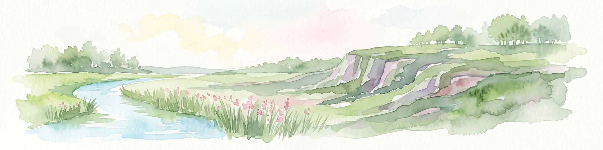
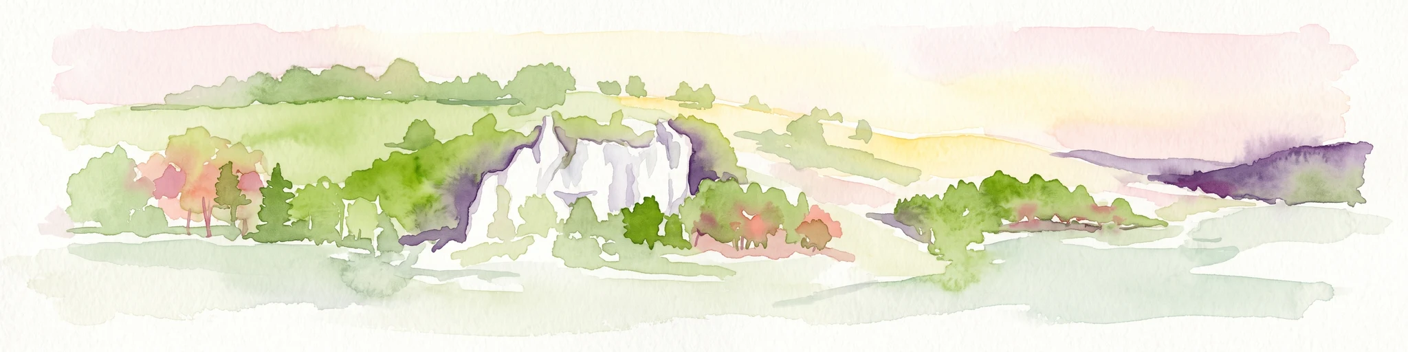
Spanning over 1,400 hectares, Donau zwischen Munderkingen und Riedlingen represents a vital protected network along the upper Danube. This area is defined by the sharp transition between dynamic wetland floodplains and the dry, calcareous grasslands of the surrounding plateau, offering a comprehensive look at the riparian and geological character of this historic German river corridor.
- Area
- 14.33 km²
- Established
- 2019
- Relief
- Lowland
- Climate
- Temperate