
Explore an atlas of summits, glacial valleys, and high altitude formations within the massif
Named Natural Features and Geographic Landscapes of Vanoise National Park in the French Alps
This collection details the named natural features associated with the dramatic topography of Vanoise National Park. The data presents a structured look at the glacial morphology, craggy peaks, and alpine corridors that define the geography of the French Alps. Users can investigate specific landforms, water bodies, and ridges that contribute to the regional character of this protected mountain wilderness.
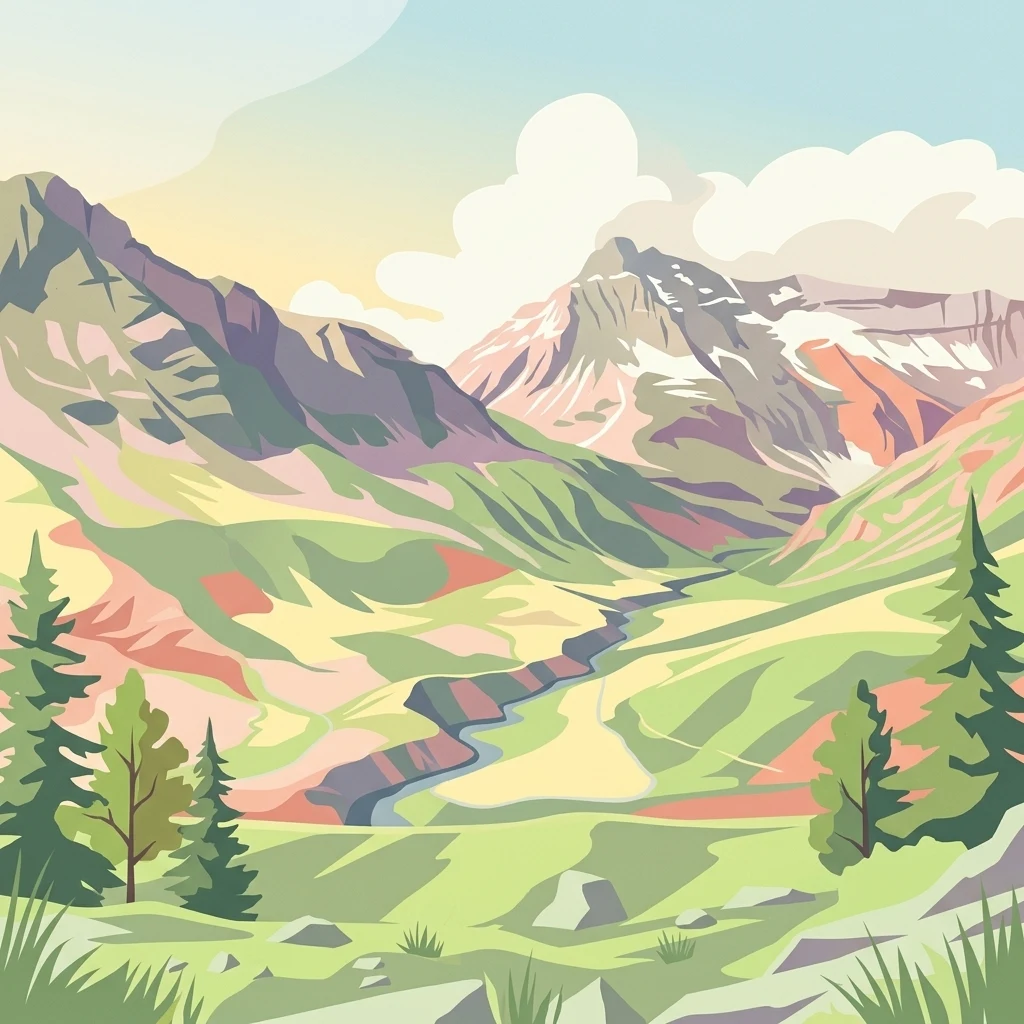
High-altitude summits, glacial massifs, and protected valleys of the French Alps
Explore Named Natural Features and Alpine Geography in Vanoise National Park
Topographic analysis of summits in the Vanoise massif
Peaks
The Vanoise National Park landscape features numerous prominent peaks and summits that rise above the glacial valleys of the French Alps. This collection indexes these named elevated landforms, providing a structured geographic view of their prominence and role within the park's dramatic topography.
Mapped river features within protected alpine landscapes
Rivers
Vanoise National Park features a complex hydrological network defined by the dramatic slopes and glacial valleys of the French Alps. This collection highlights individual river segments and watercourses associated with the park area, providing a detailed look at the flow and geographic distribution that characterizes this significant protected wilderness.
Detailed geographic analysis of mountain ridge saddles
Mountain saddles
Investigate the specific saddle formations within Vanoise National Park through a geographic lens. This resource catalogs ridge-based topographic depressions, focusing on their structural significance within the Vanoise massif and the broader Graian Alps geological context.
Protected alpine terrain and drainage landforms
Valleys
Explore the collection of named valleys distributed throughout Vanoise National Park. This geographic overview highlights the spatial relationships between glacial basins, mountain ridges, and the primary drainage pathways that shape the internal topography of the French Alps.
Geographic catalog of prominent rocky landmarks
Rock formations
Browse the documented collection of individual rock masses, outcrops, and natural blocks distributed throughout Vanoise National Park. This resource provides geographic context for these distinct features, aiding in the interpretation of the park's dramatic alpine landscape and geological diversity.
Vanoise Alpine stream geography
Streams
Browse named stream records connected with Vanoise National Park and place smaller channels within its glaciated high-mountain terrain. The collection relates streams to ice, lakes, valleys, rock formations, passes, and pastoral landscapes without guessing source, seasonal discharge, water quality, crossing safety, accessibility, or exact park coverage.
Continue Your Atlas Exploration of Vanoise National Park's Alpine Geography
Delve deeper into the structured geographic data and mapped landscape of Vanoise National Park. Understand its role as France's first national park and its contiguous protected area connections within the broader alpine atlas. This destination offers crucial context for regional park discovery and the mapping of vital mountain wilderness.