
Mapping the distinct badland formations, river plains, and arid woodlands across the Iori Plateau.
Geographic Index of Named Natural Features and Landscapes in Vashlovani National Park
This geographic collection catalogs the diverse natural features associated with Vashlovani National Park in eastern Georgia. Users can examine the spatial distribution of eroded canyon cliffs, semi-desert steppe areas, and Alazani River riparian corridors that define this protected landscape. Each entry provides context on how these landforms intersect with the park boundaries to form the unique lowland wilderness of the Kakheti region.
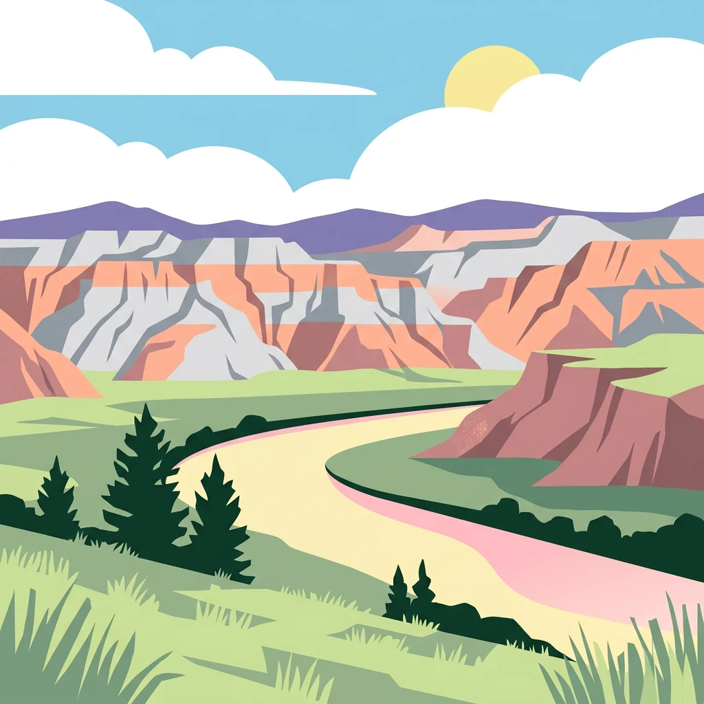
Trace Vashlovani National Park features through valleys, cliffs, rivers, and grassland
Forest, valley, cliff, river, wetland, and grassland records in Vashlovani National Park
Mapping riparian corridors in the Kakheti region
Rivers
Investigate the river channels associated with Vashlovani National Park. This geographic overview highlights how these watercourses intersect with badland formations and lowland forests, providing essential context for the hydrography of the Iori Plateau.
Continue Exploring Vashlovani National Park's Geographic and Landscape Context
Delve deeper into the protected geography of Vashlovani National Park. Understand its unique semi-arid terrain, mapped boundaries, and its place within the broader atlas of Caucasus protected areas. MoriAtlas helps you navigate the specific landscape characteristics and regional ecological significance that define this exceptional national park.