

Mori Atlas logo
Park guides

Explore thematic guides covering seasonal transitions and the Dutch peat bog landscape

Expert Guides and Detailed Regional Insights for Weerribben-Wieden National Park

Discover a selection of specialized guides focused on Weerribben-Wieden National Park in Overijssel. These resources examine the unique hydrological systems of the largest lowland peat bog in Northwestern Europe, offering insights into seasonal landscapes, waterway dynamics, and historical reed-harvesting terrain.

Stylized illustration of a mountainous landscape with a waterfall, river, coniferous and deciduous forests, and rocky hills under a pastel sky

Northwestern Europe's largest intact lowland peat bog

Weerribben-Wieden National Park

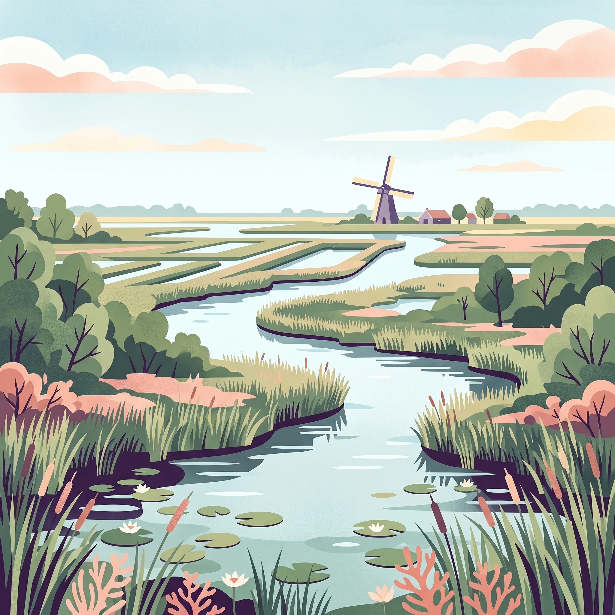
Weerribben-Wieden National Park represents one of the Netherlands' most significant wetland conservation areas, protecting a landscape that has been shaped by human activity and natural processes over more than seven centuries. The park's two component areas, De Weerribben and De Wieden, together form the largest contiguous area of lowland peat bog in Northwestern Europe. This ecosystem developed through the historical practice of peat extraction, which created the characteristic pattern of narrow peat ridges (ribben) separated by water-filled extraction channels (weren). The park's hydrological system depends on careful water management, including more than three hundred small windmills that pump water into the area rather than out, a unique arrangement in Dutch water management. The landscape supports remarkable ecological diversity, with different stages of succession from open water bodies through reed beds, quaking bogs, and carr woodland creating a constantly evolving mosaic of habitats. This dynamic character requires ongoing active management, including winter reed harvesting, annual meadow mowing, and regular dredging of waterways to maintain the ecological variety that makes the park so valuable.

Location
Netherlands
Park type
National park
Established
1992
Area
105 km²
Weerribben-Wieden National Park Atlas
1 guide

Compare available reference topics to plan your exploration of the wetland reserve

Published Guides and Thematic Resources for Weerribben-Wieden National Park

Browse the complete collection of published reference material dedicated to Weerribben-Wieden National Park, designed to address specific exploratory questions. Each focused guide examines key temporal conditions, helping visitors evaluate seasonal timing across the expansive reed beds and waterway networks.
MoriAtlas Explorer

Continue Exploring Weerribben-Wieden National Park's Mapped Landscape and Protected Geography

Deepen your understanding of Weerribben-Wieden National Park's distinctive protected wetland environment. By continuing your exploration, you can trace the intricate waterways and mapped boundaries that define this crucial Dutch national park. Our platform is designed to provide structured insights into the park's unique geography and its ecological importance, offering a clear atlas perspective for appreciating this significant natural landscape.