
Mori Atlas logo
Park earthquake history

A chronological catalogue of regional earthquake events mapped to the recreation area landscape

Recorded Seismic Activity and Earthquake History of Whiskeytown–Shasta–Trinity National Recreation Area

This collection provides a searchable historical record of seismic events that occurred in the vicinity of Whiskeytown–Shasta–Trinity National Recreation Area. The catalogue draws upon USGS data to associate earthquake epicentres by distance with the surrounding foothill terrain, reservoir basins, and forested ridges. Users can review event dates, magnitudes, and focal depths to gain context on the historical seismic patterns observed across this region of northern California.

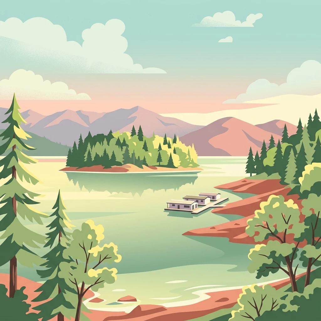
A digital illustration showing a calm reservoir lake surrounded by forested shores and distant mountains, with a small dock and floating structures on the water.

A multi-unit northern California recreation area built around three large reservoirs and varied foothill landscapes.

Whiskeytown, Shasta, Trinity National Recreation Area

Whiskeytown–Shasta–Trinity National Recreation Area is a federal recreation area in northern California, spanning parts of Shasta and Trinity Counties west of Redding. Authorized by Congress in 1965, it combines three distinct units, each centered on a major man-made reservoir and its surrounding foothill landscapes, habitats, and recreation facilities. The area encompasses roughly 246,000 acres in total and is unusual among national recreation areas in that it is cooperatively managed by two agencies. The Shasta and Trinity Units are administered by the United States Forest Service within the surrounding Shasta–Trinity National Forest, while the Whiskeytown Unit is managed by the National Park Service as a stand-alone unit known as Whiskeytown National Recreation Area. The recreation area is known for its large freshwater reservoirs, including California's largest reservoir at Shasta Lake, its mix of oak woodlands, chaparral, mixed conifer forests, and riparian zones, and a wildlife profile that includes nesting bald eagles, ospreys, black bears, and mule deer. It serves as one of the principal outdoor recreation destinations in the inland northern California region.

Location
United States of America
Park type
Protected landscape
Established
1965
Area
99,588 km²
Explore Whiskeytown–Shasta–Trinity National Recreation Area Geography

Compare reported epicentres across mountains, forests, wetlands, lakes and waterfalls

Review earthquake geography around Whiskeytown–Shasta–Trinity

Search source-linked earthquake records around Whiskeytown–Shasta–Trinity National Recreation Area, a 995.88 km² upland landscape with major water across mountains, hills, forest, woodland, grassland, wetlands, lakes, rivers and waterfalls; Filter date, magnitude, depth and park distance. Proximity does not prove boundary occurrence, environmental impacts, current risk or future events.

Sort by
Magnitude
Location

This page describes catalogued earthquakes associated with the park by epicentre location and distance. It does not establish causation, assess current danger, or predict future earthquakes.

No earthquake records match the current filters

Park atlas

Beyond Whiskeytown–Shasta–Trinity National Recreation Area earthquake data

More parks after Whiskeytown–Shasta–Trinity National Recreation Area

After the Whiskeytown–Shasta–Trinity National Recreation Area earthquake records, continue to a separately selected group of protected destinations. These links do not indicate shared recreation-area status, landscapes, ecology, geology, seismic history, proximity, hazard conditions, risk, or equivalent evidence coverage.
A soft watercolor painting depicting a serene landscape with gentle green hills, a small forest, and a calm lake at sunrise or sunset.
Protected landscapeCalifornia
5.1 km away#1 closest

West

Shasta, Trinity National Forest: Mapping the Protected Landscapes of Northern California

Volcanic peaks, expansive reservoirs, and rugged mountain wilderness

Spanning over two million acres, Shasta, Trinity National Forest represents a major protected landscape in Northern California. The geography includes the iconic Mount Shasta volcano and the complex shoreline of Shasta Lake, while hosting expansive wilderness areas and diverse terrain ranging from oak-forested foothills to alpine meadows.

Area
8,942.87 km²
Established
1954
Relief
Mountain
Climate
Temperate
A watercolor illustration showing a soft, panoramic view of green trees and rolling hills against pale, pinkish-yellow mountains in the background.
Protected landscapeCalifornia
54 km away#2 closest

South

Mendocino National Forest: Mapping California's Remote Protected Mountain Landscape

Examining wilderness boundaries and rugged coastal terrain

Mendocino National Forest serves as a significant protected area in California, known for being the only national forest in the state without major paved access. Its terrain spans 913,000 acres of mountain peaks, deep river canyons, and old-growth conifer forests. Home to the unique tule elk population at Lake Pillsbury, this landscape provides a rare example of wilderness isolation, complex geothermal features, and rugged, largely untouched northern coastal topography.

Area
3,696.02 km²
Established
1907
Relief
Mountain
Climate
Mediterranean
Watercolor painting of a peaceful river landscape, featuring rolling green hills, dense trees, and distant soft-toned mountains.
Protected areaCalifornia
57 km away#3 closest

Northwest

Six Rivers National Forest: Exploring Protected River Valleys and Mountain Terrain in California

A regional protected area spanning California river systems

Six Rivers National Forest defines much of the rugged landscape in northwestern California. Named for the six major river drainages within its borders, the area features a unique combination of coastal forests, deep river canyons, and high-country ridges that offer significant insight into the region's broader geographic and ecological character.

Area
3,875.2 km²
Established
1947
Relief
Mountain
Climate
Mediterranean
A wide watercolor illustration showing a calm body of water surrounded by green hills, conifer trees, and reeds in the foreground.
Protected landscapeCalifornia
61 km away#4 closest

East

Lassen National Forest: Mapped Geography and Protected Landscapes of Northern California

Volcanic terrain and expansive old growth ecosystems

Lassen National Forest represents a vast protected landscape in Northern California, defined by its severe volcanic geology and resilient conifer forests. This atlas entry provides essential geographic context regarding the forest boundaries, the volcanic rim of Mount Tehama, and the intricate river systems shaping the region. Explore the terrain, from accessible lava tubes to the wilderness areas preserved within this significant mountain corridor.

Area
4,331.53 km²
Established
1905
Relief
Mountain
Climate
Temperate
Wildlife reserveCalifornia
69 km away#5 closest

Southeast

Ishi Wilderness Wildlife Reserve: Mapping the Volcanic Canyons of the Cascade Foothills

Geographic atlas of protected northern California wilderness and cultural landscapes.

Ishi Wilderness represents a crucial protected area in northern California, where volcanic geology meets a deep-rooted cultural history. Explore the mapped ridgelines, river canyons, and diverse oak woodland habitats that define this unique wildlife reserve and its role within the Cascade foothills.

Area
167.29 km²
Established
1984
IUCN
Ib
Relief
Mountain
National parkCalifornia
79 km away#6 closest

East

Lassen Volcanic National Park: Protected Landscape Identity and Geographic Context

Discover the mapped boundaries and natural terrain of this California national park.

Gain a structured understanding of Lassen Volcanic National Park as a protected landscape. This detail page provides essential geographic context, focusing on the park's mapped boundaries and its specific terrain characteristics within California. It is designed for users seeking detailed information about the park's protected status and its placement within the broader atlas of natural areas, emphasizing its unique geographic identity and conservation significance.

Area
430.8 km²
Established
1916
IUCN
II
Visitors
504.8K annual
A soft watercolor illustration depicting a series of distant mountain ranges behind a line of evergreen trees against a white background.
Wildlife reserveCalifornia
81 km away#7 closest

North

Mount Shasta Wilderness: A Geographic Profile of California Volcanic and Alpine Landscapes

Mapping protected volcanic peaks and glacial ecosystems

Deeply explore the protected geography of Mount Shasta Wilderness, a 38,200-acre reserve in Northern California. This record details the park's stratovolcano foundations, glacial terrain, and forested corridors, offering a clear view of the complex landforms and boundary systems that define this significant high-elevation protected area.

Area
155 km²
Established
1984
IUCN
Ib
Relief
Mountain
Protected landscapeCalifornia
84 km away#8 closest

Northwest

Marble Mountain Wilderness: Exploring Protected Mountain Landscapes in Northern California

Klamath Mountains Wilderness and Alpine Geography

Spanning hundreds of thousands of acres, Marble Mountain Wilderness offers a dense concentration of subalpine fir, deep glacial lakes, and steep drainage basins. This northern California protected landscape provides an atlas of rugged ridges and marble-toned peaks that represent one of the most ecologically diverse backcountry areas in the region.

Area
978.3 km²
Established
1964
IUCN
Ib
Relief
Mountain
MoriAtlas Explorer

Trace the Mapped Boundaries of Whiskeytown–Shasta–Trinity National Recreation Area

Deepen your understanding of this significant northern California protected area through a detailed geographic lens. MoriAtlas provides the structural context for exploring the reservoir basins, canyon systems, and varied vegetation zones that define the identity of Whiskeytown–Shasta–Trinity National Recreation Area.