
Why Wupperaue bei Westenbrücke stands out
The reserve is best known for being one of the more representative Wupper floodplain meadow landscapes in the Hückeswagen area, where a largely continuous stretch of the Wupper is lined by a fine-grained mosaic of different habitat types. Its particular value lies in the frequent transitions between wooded elements and open grassland, the presence of small wet meadow patches, hedges, and willow-alder plantings, and the gradual improvement potential of its currently species-poor, intensively farmed meadows into more diverse, moist valley grassland communities.
Wupperaue bei Westenbrücke landscape and geographic character
The landscape of Wupperaue bei Westenbrücke is shaped by the narrow valley floor of the Wupper between Hartkopsbever and Hämmern. The terrain lies almost flat, sitting between approximately 260 and 264 meters above sea level, with the valley walls on either side rising beyond the reserve boundary.
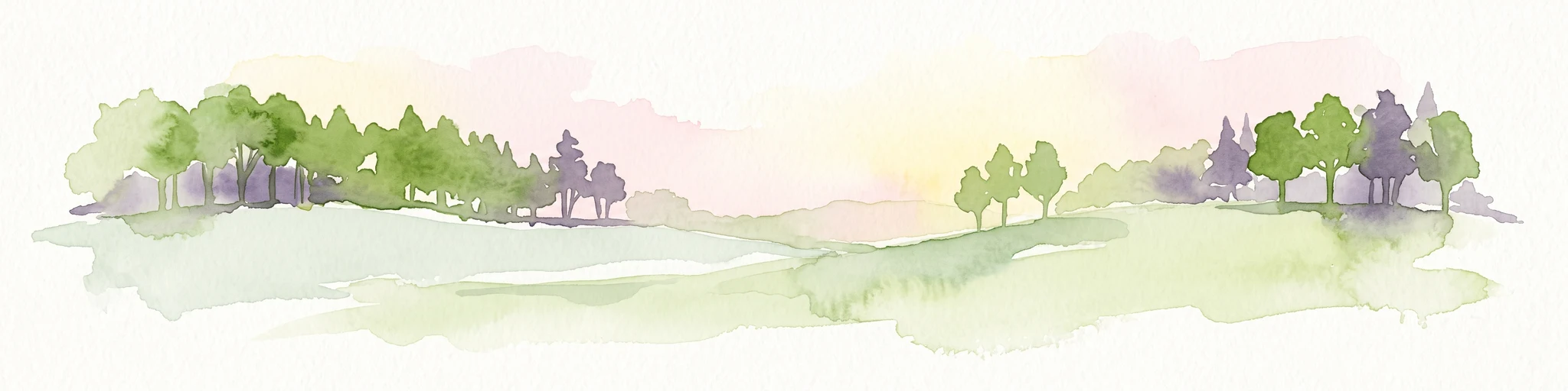
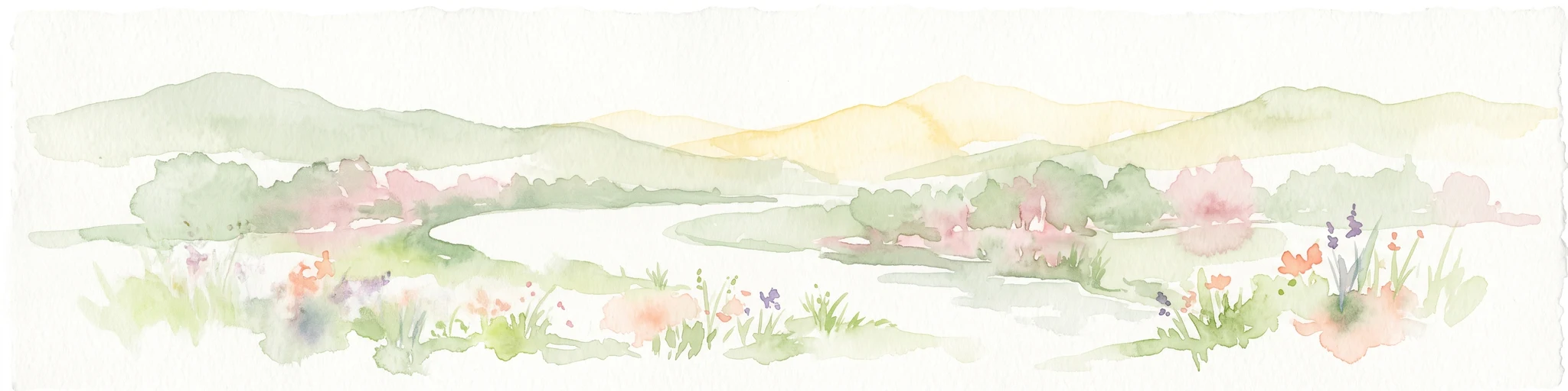
Within the protected area, the dominant visual impression is of open farmland, but broken into a varied patchwork. Intensively used, regularly resown meadows dominate, while small wet meadow enclaves, planted alder and willow stands, hedges, and scattered groups of fruit trees diversify the otherwise simple valley cross-section. The Wupper, although partly still heavily engineered in some sections, threads continuously through the site and provides the central linear landscape feature. At the margins, the modern commercial area of Hämmern and the B 237 road frame the traditional rural valley landscape, creating a transitional setting where natural, agricultural, and infrastructural elements meet.
Wupperaue bei Westenbrücke ecosystems, habitats, and plant life
Ecologically, Wupperaue bei Westenbrücke represents a typical, although partly degraded, example of a Bergisches Land floodplain grassland habitat. The meadows, which form the largest share of the site, are mostly intensively managed resown grasslands, where ryegrass and timothy often dominate, and where a previously more species-rich pasture noted in 1992 has regressed into a species-poor intensive meadow.
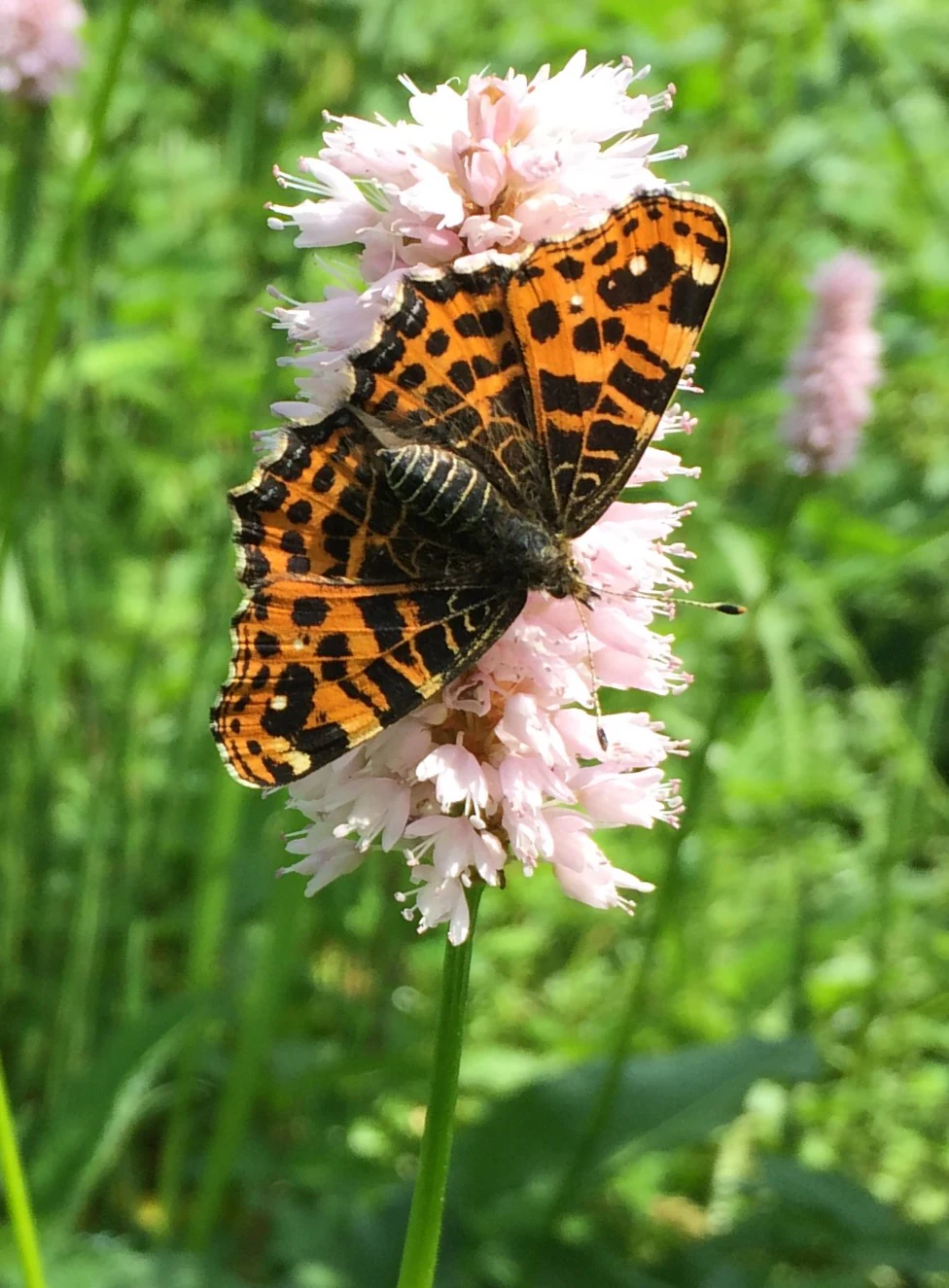
Intermixed with the dominant intensive grassland are ecologically more valuable components that give the reserve its conservation interest. In the north of the floodplain there is a small rush-rich wet meadow; elsewhere, moist tall oat grass meadow communities with marsh hawk's-beard, comfrey, and bistort show the kind of development potential that may be recovered if grassland management is extensified. Along the Mühlenbach, planted alder and willow stands and the Wupper's own riparian fringe form continuous small woodland and shrub corridors, while hedges of spiraea and ash avenues near Hämmern add structural variety. It is precisely this mosaic of small, semi-natural habitats scattered within a heavily used agricultural floodplain that defines the ecological identity of the reserve.
Wupperaue bei Westenbrücke wildlife and species highlights
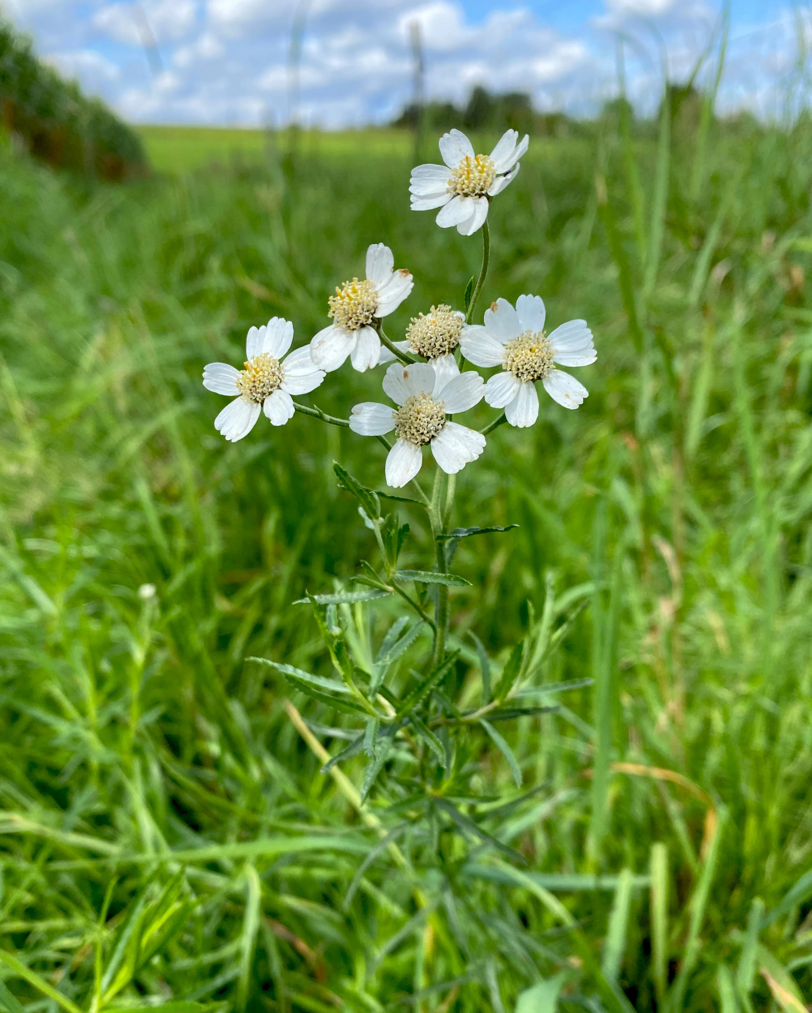
Although a small reserve, Wupperaue bei Westenbrücke supports a noteworthy range of species linked closely to its river and meadow habitats. The Wupper itself and its fringes host characteristic riverine fauna, including the gudgeon (Gobio gobio), as well as aquatic plants such as three species of water buttercup, including the brush-leaved water buttercup (Ranunculus penicillatus).
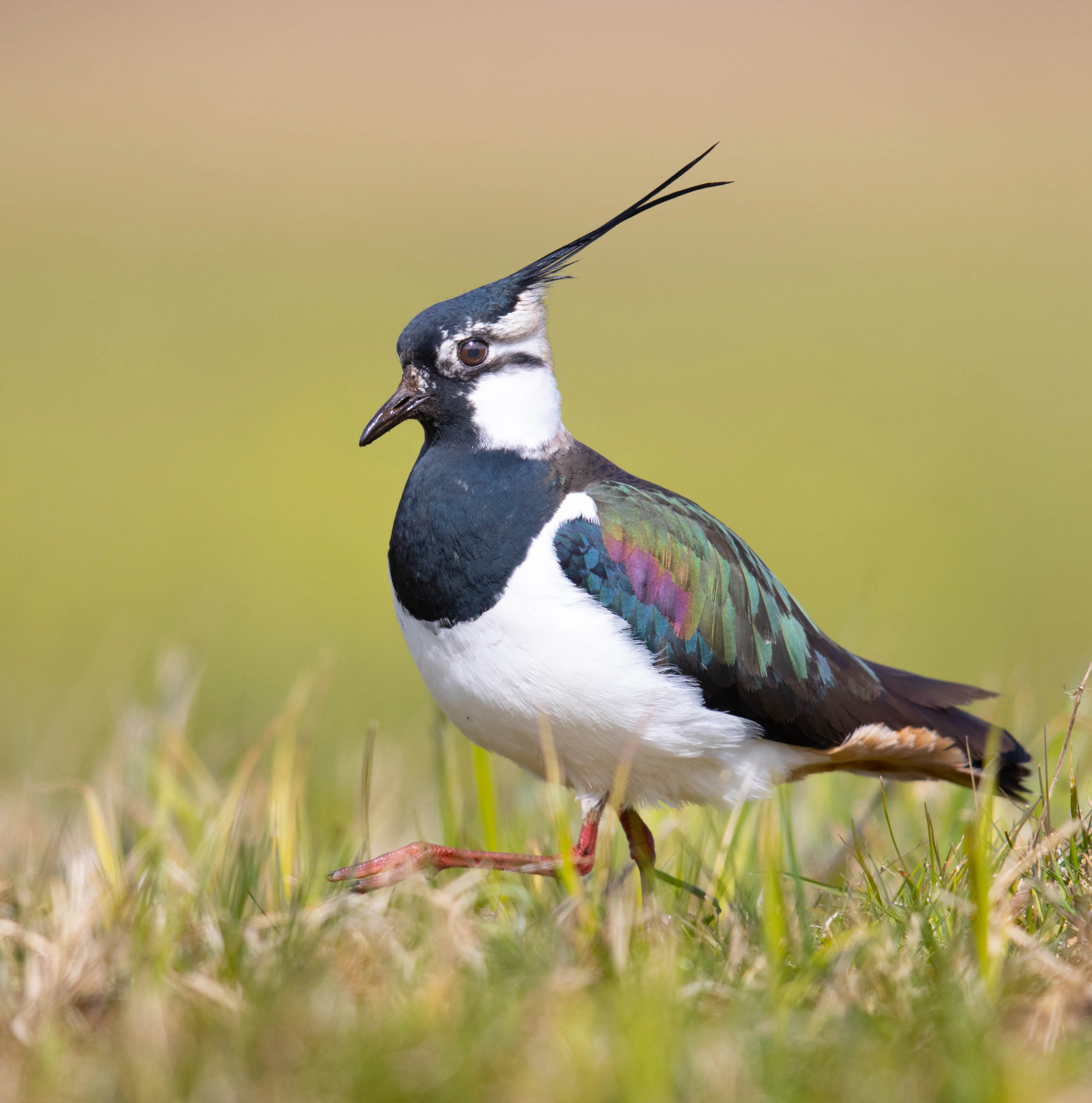
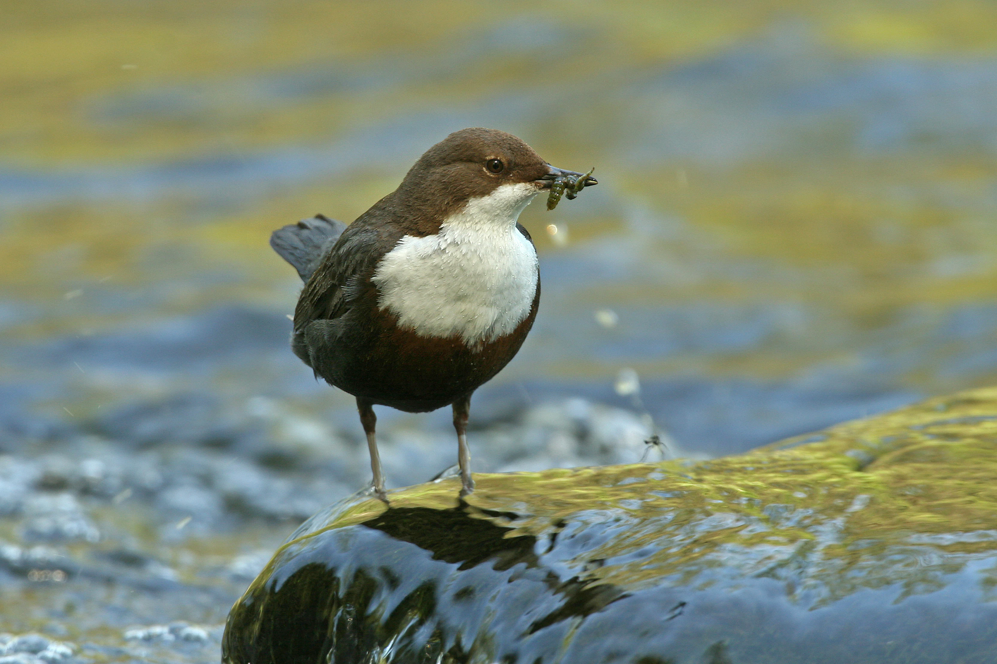
The meadows and wetter patches are important for meadow-nesting and meadow-feeding birds. The lapwing (Vanellus vanellus) is noted as breeding in large undisturbed grassland areas, while the reed bunting (Emberiza schoeniclus) uses the wetter, rush-rich portions of the floodplain. The continuous stretch of the Wupper itself provides habitat for the common kingfisher (Alcedo atthis) and the white-throated dipper (Cinclus cinclus), both of which are tied to clean, flowing watercourses. The presence of the banded demoiselle (Calopteryx splendens) underlines the value of the river as a dragonfly habitat. Together, these species highlight the reserve's role as a small but functioning mosaic for river-dependent and meadow-dependent wildlife.
Wupperaue bei Westenbrücke conservation status and protection priorities
Conservation interest in Wupperaue bei Westenbrücke centers on preserving and developing a near-natural segment of the Wupper valley in a landscape otherwise dominated by intensified agriculture. The reserve's protected status, established in 2013 under the official regional landscape plan and administered by the lower landscape authority of the Oberbergischer Kreis, frames the site as an IUCN Category IV Habitat/Species Management Area.
The official protection objectives focus on maintaining, caring for, and developing a floodplain valley still characterized by grassland use, but enriched with near-natural river sections, riparian woodland, wet grassland, and smaller alder stands. A core goal is the extensification of agriculture within the reserve, recognizing that the intensively farmed meadows hold most of the site's upgrade potential. The reserve also plays a clear role in regional habitat connectivity: the largely continuous stretch of the Wupper, the narrow riparian buffer strips, and the mosaic of small, often eutrophic but relatively undisturbed biotopes together provide a stepping-stone network within the broader protected-area system of the Oberbergischer Kreis, as referenced in the regional list of nature reserves.
Wupperaue bei Westenbrücke cultural meaning and human context
The cultural context of Wupperaue bei Westenbrücke is closely tied to the long agricultural history of the Wupper valley. Old ash avenues, hedges with spiraea, and groups of fruit trees in fallow areas reflect generations of small-scale land management and the traditional structure of Bergisches Land farmstead landscapes.
The reserve also lies in an area where historic rural land use meets modern industrial development: the Hämmern commercial area to the south and the B 237 federal road to the west signal the contemporary pressures on the valley, while elements such as the long-established Mühlenberg factory area, screened by poplar-alder plantings, illustrate how local industry has historically coexisted with working floodplain meadows. Today, bicycle and walking paths along the floodplain also support the valley's role as a local recreational corridor.
Top sights and standout views in Wupperaue bei Westenbrücke
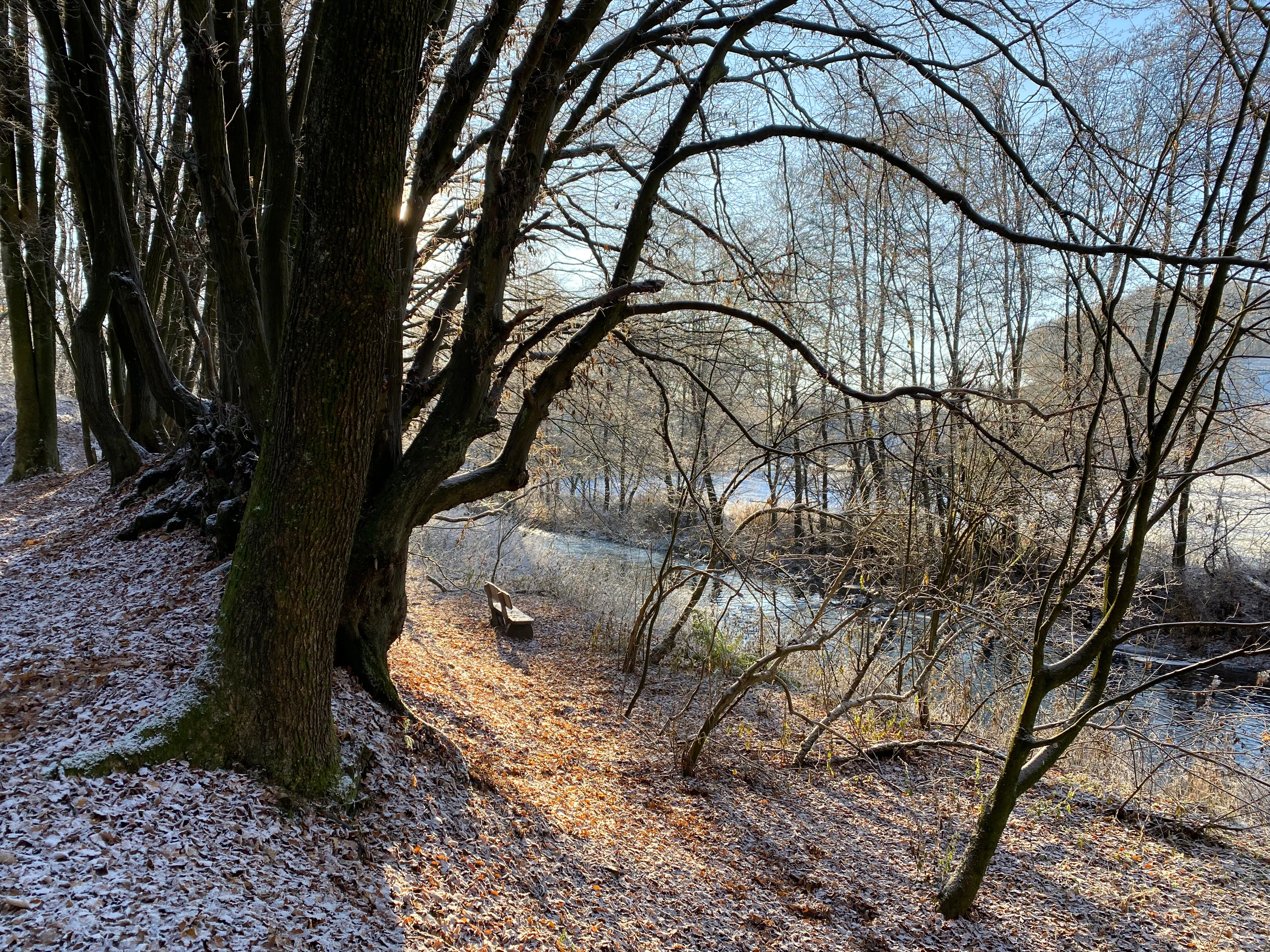
The standout features of Wupperaue bei Westenbrücke include a nearly continuous 2.3 kilometer stretch of the Wupper lined by riparian woodland, the dense small-scale alternation between hedges, planted willow-alder groups, wet meadows, and species-poor resown grassland, and the presence of characteristic river and meadow species such as the kingfisher and the lapwing.
Equally notable are the reserve's strong development potential for species-rich moist valley grassland, its historic ash avenue near Hämmern, and its role within a wider network of protected areas in the Oberbergischer Kreis.
Best time to visit Wupperaue bei Westenbrücke
As a low-elevation, easily accessible meadow and river valley near the town of Hückeswagen, the Wupperaue bei Westenbrücke can be experienced throughout much of the year, with the most rewarding character typically found from late spring into early summer, when the meadows are at their most flowering, river insects such as the banded demoiselle are on the wing, and the wetter corners of the floodplain host breeding lapwings and reed buntings. Wet meadows and hedges are at their most visually rich in this period, while the late summer and early autumn months tend to be quieter and offer a more muted, harvesting-season atmosphere across the intensively used meadows.