
Mori Atlas logo
Nature reserveZerweliner Koppel

A diverse mosaic of woodland, nutrient-poor lakes, and transitional moorlands in the Uckermark

Zerweliner Koppel Nature Reserve: Mapped Protected Landscapes and Regional Geography in Brandenburg

(Naturschutzgebiet Zerweliner Koppel)

Zerweliner Koppel serves as a significant protected nature reserve located within the Uckermark district of Brandenburg. This area features a complex mosaic of deciduous and coniferous forests, bog woodlands, and natural lakes including the Zerwelinsee and Petznicksee pair. Established as a refuge through its history as a restricted zone, the reserve now maintains essential habitats for diverse bird species and amphibians within the broader Uckermärkische Seenlandschaft.

nature reserveBrandenburgUckermarkforestmoorlandlakes
A stylized vector-style illustration of a marshy wetland with water, reeds, and water lilies in the foreground, leading to a forest and rolling hills under a sunset.

Zerweliner Koppel

Nature reserve

Park overview

Structured park overview, official facts, and landscape profile for Zerweliner Koppel

Zerweliner Koppel park facts, protected area profile, and essential visitor context

Review the core facts for Zerweliner Koppel, including designation, size, terrain, visitor scale, habitats, and operating context in one park-focused overview.

About Zerweliner Koppel

Zerweliner Koppel lies in northeastern Brandenburg, in the gently rolling countryside of the Uckermark, close to the villages of Boitzenburg, Weggun, and Naugarten in the Boitzenburger Land and Nordwestuckermark municipalities. The reserve sits within the wider Zerweliner Heide, a sizable forest tract that stretches from Weggun in the north down toward Boitzenburg in the south, framed by regional roads such as the L 243 and L 151. Although modest in size, the area's mix of forest, lakes, and moor gives it a varied ecological character that stands out within the broader Uckermärkische Seenlandschaft.

The reserve's geography centers on three small lakes, the Zerwelinsee, the Großer Petznicksee, and the Kleiner Petznicksee, along with the historically intermittent Scheßbachgraben stream and an associated transitional moor west of the Zerwelinsee ("Heidewalder Bruch"). Surrounding these water bodies are extensive forest stands dominated by conifer plantations but interspersed with beech, oak, and alder woodland, along with bog and moor forest communities. About 63 percent of the protected area is forest, while a small species-rich meadow east of the Zerwelinsee, mowed once a year, forms the principal open land element.

Ecologically, Zerweliner Koppel represents a transitional zone where dry sandy forest habitats meet nutrient-poor lakes and peat-forming wetlands, yielding a rich habitat mosaic that supports numerous protected and red-listed species. Its establishment as an FFH area in 2005 and inclusion in the Uckermärkische Seenlandschaft Special Protection Area reflect its recognition as a valuable component of Brandenburg's Natura 2000 network. A significant share of the forested land has been set aside as process-protection (Prozessschutz) area, allowing woodland dynamics to proceed without active forestry intervention, while the Boitzenburg forestry district and a local support association manage the remaining forest stands under a forest-development program aimed at restoring near-natural woodland.

The reserve's quiet history of restricted access during the Cold War period has shaped how visitors and managers approach the site today. Although the Naturschutzgebiet is not primarily designed as a visitor attraction, it offers an example of how a small protected area can combine forest management, habitat restoration, and species conservation in a single landscape, contributing to the larger ecological coherence of the Uckermark lake region.

Quick facts and research context for Zerweliner Koppel

Zerweliner Koppel is a nature reserve (Naturschutzgebiet) located in the Uckermark district of Brandenburg, within the municipalities of Boitzenburger Land and Nordwestuckermark. It was formally placed under protection on 8 August 2005 under registration number 1001 and is coextensive with the FFH (Fauna-Flora-Habitat) area of the same name.

The reserve covers approximately 193 hectares, of which roughly 63 percent is forested. It lies within the larger Zerweliner Heide woodland complex between Weggun and Boitzenburg and is part of the European Bird Protection Area (SPA) Uckermärkische Seenlandschaft. Three small lakes, several moorland zones, and a range of near-natural forest communities give the area its ecological identity.

Protection and recognition

Terrestrial protection scope and official registry records for Zerweliner Koppel

Zerweliner Koppel Protection Status and Documented Conservation Data

Zerweliner Koppel maintains a documented terrestrial protection scope within the global conservation database. Structured registry records outline administrative designation history and international recognition parameters.

Protection details

Protection scope
Terrestrial
Transboundary protection
No
WDPA ID
344837
Park context

Deeper park guide and search-rich context for Zerweliner Koppel

Zerweliner Koppel history, landscape, wildlife, and travel context

Explore Zerweliner Koppel through its history, landscape character, ecosystems, wildlife, conservation priorities, cultural context, and seasonal travel timing in a structured park guide built for atlas discovery and search intent.

Why Zerweliner Koppel stands out

Zerweliner Koppel is best known for its mosaic of near-natural woodland and open water habitats in the Uckermark lake district, combining conifer and broadleaf forests with moorland, nutrient-poor lakes, and small bog areas. The reserve is also notable for emerging from a long period as a restricted military zone, which allowed its landscapes and species assemblages to remain largely undisturbed. The area supports protected species typical of both dry heathy woodland and wet, base-poor waters, including dragonflies, rare snails, amphibians such as the great crested newt and moor frog, bat species, and breeding birds like the common snipe. Its overlap with both an FFH site and the larger Uckermärkische Seenlandschaft Special Protection Area underscores its significance at the regional and European level.
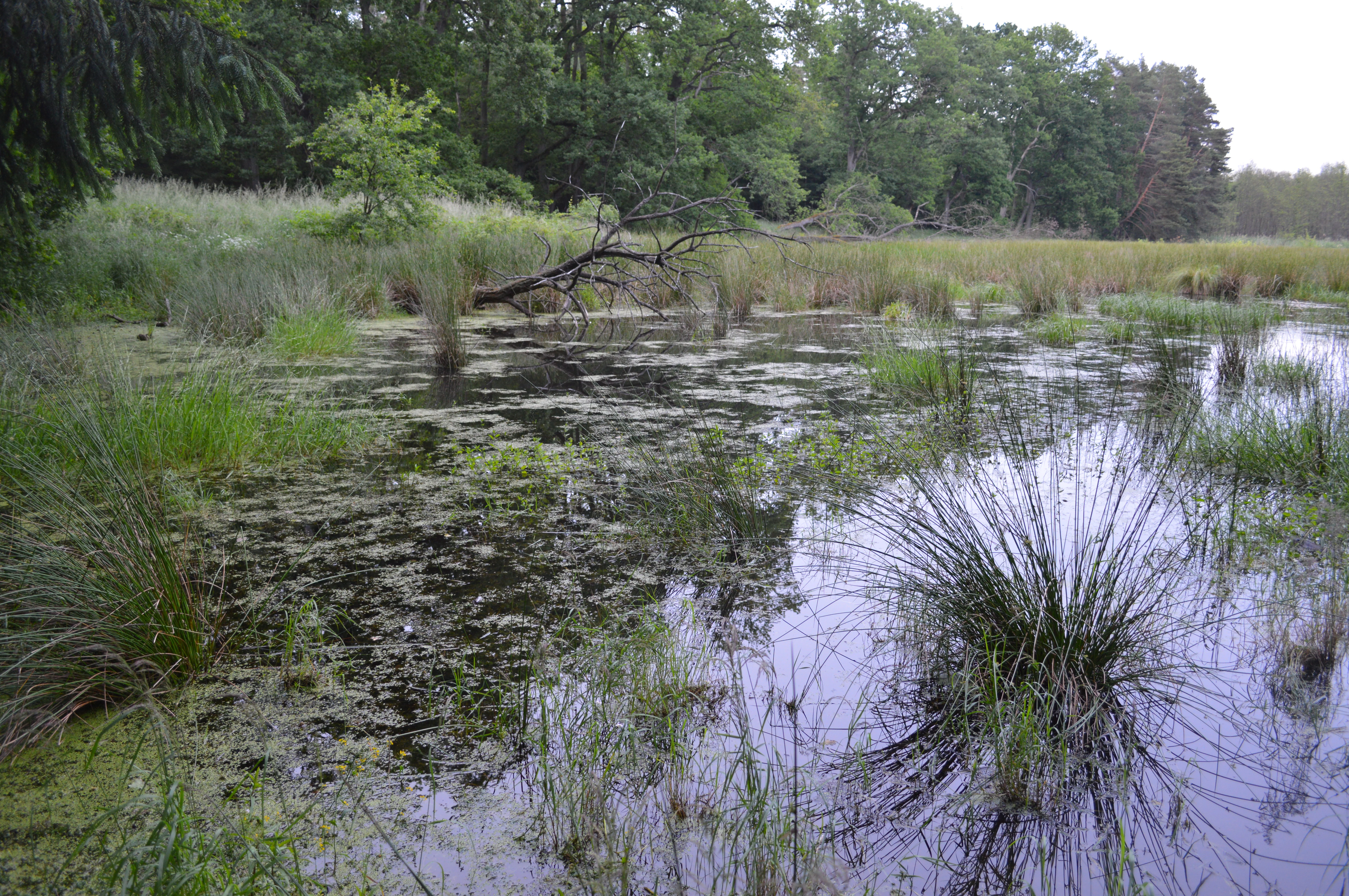
A swampy wetland scene with dark still water, aquatic grasses, and a forest background.
A small wetland area within the Zerweliner Koppel nature reserve.

Zerweliner Koppel history and protected-area timeline

The history of Zerweliner Koppel is closely tied to its use as a restricted military zone. During the era of the National People's Army (NVA) of the former German Democratic Republic, the area served as a designated training and deployment site for anti-aircraft missile units. Because public access to the zone was heavily restricted, military maneuvers and exercises were never actually carried out there, leaving the landscape free of the major disturbances associated with active training.

With reunification and the subsequent opening of former restricted areas, the site was recognized for its largely intact near-natural condition. It was officially designated a nature reserve (Naturschutzgebiet) on 8 August 2005 under number 1001, and its boundaries were drawn to coincide with the FFH (Fauna-Flora-Habitat) area of the same name, placing it within the European Union's Natura 2000 framework. The original FFH site "Stromgewässer" (DE 2747-302) was reorganized in 2004 into four separate units, of which Zerweliner Koppel became one.

Following designation, management efforts have focused on hydrological restoration, including water-level raising at the Zerwelinsee and its associated transitional moor, water retention in the lowland near the lake, and bush-clearance work in parts of the Heidewalder Bruch. Between 2017 and 2018, targeted fish-stock management, including reductions in catfish (Wels), was carried out in the Großer Petznicksee to address nutrient and water-quality concerns. These interventions reflect an evolving management history aimed at improving habitat quality while preserving the reserve's largely undisturbed character.

Zerweliner Koppel landscape and geographic character

The landscape of Zerweliner Koppel is a varied mosaic shaped by glacial processes typical of the northeastern Brandenburg countryside. Its core consists of three small natural lakes, the Zerwelinsee and the adjacent Großer and Kleiner Petznicksee, set amid gently undulating terrain. Around these lakes lie transitional moors, bog and swamp woodland, and zones of dry sandy forest, creating an interleaving of wet and dry habitats that defines the area's scenic and ecological character.

The forested parts of the reserve dominate the visual experience, with large swathes of conifer plantations interspersed with patches of beech, oak, and mixed broadleaf woodland, as well as more specialized stands of bog woodland on wetter soils. Several of the lakes, including parts of the Zerwelinsee system, have historically undergone phases of drying and rewetting, and traces of older concrete infrastructure from the former military use are still visible in some locations, a subtle reminder of the area's restricted past.

Beyond the immediate reserve, the surrounding Zerweliner Heide stretches out as a wider wooded landscape, with the historic Zerweliner Allee avenue and the nearby village of Naugarten giving the region a sense of cultural landscape embedded within a forest setting. The result is a quiet, lightly settled territory where water, woodland, and open space combine to create the typical Uckermark lake-district scenery.

Zerweliner Koppel ecosystems, habitats, and plant life

The natural character of Zerweliner Koppel rests on the close interplay between forest, lake, and peatland ecosystems. Forest covers roughly 63 percent of the area, and the woodland composition is unusually varied: although conifer forest, including pure and mixed stands of spruce and pine, remains the single largest category, the reserve also supports near-natural deciduous woodland, oak and beech stands, and a notable share of moor and bog woodland on the wetter soils. Heath woodland (Heidewald) and alder swamp forest add further structural diversity.

Aquatic and semi-aquatic habitats are equally important. The Zerwelinsee and the Petznicksee pair are classified under the European Habitats Directive as oligo- to mesotrophic calcareous waters and as natural eutrophic lakes, respectively. Around them, a transitional and quaking bog complex with Cladium mariscus-rich calcareous fens, alongside small areas of Molinia meadow and lowland hay meadow, contributes to the habitat mosaic. The intermittent Scheßbachgraben once served as the main running water element, and although it has periodically fallen dry, its course and associated wetland zones remain ecologically significant.

This combination of dry sandy woodland, base-poor or calcareous lakes, and peat-forming wetlands gives Zerweliner Koppel one of the more diverse small-scale habitat portfolios in the Uckermark, linking forest interior species with open-water, mire, and meadow communities within a compact area.

Zerweliner Koppel wildlife and species highlights

Zerweliner Koppel harbors a wide range of protected and regionally significant animal species, reflecting the diversity of its habitats. Among mammals, the Eurasian otter (Lutra lutra) has been confirmed through repeated finds of its droppings, and the surrounding area includes important bat fauna: the western barbastelle (Barbastella barbastellus) and the greater mouse-eared bat (Myotis myotis) are recorded as particularly protected species, along with several other bat species including the serotine, Natterer's, common and lesser noctule, Nathusius's and common pipistrelle, soprano pipistrelle, and brown long-eared bat.

The lakes and wet depressions support a notable amphibian and reptile community. The great crested newt (Triturus cristatus) was recorded in water-filled depressions west of the Zerwelinsee in 2018, while the moor frog (Rana arvalis) has been found around both Petznicksee lakes. Other amphibians include the common toad, common frog, pool frog, smooth newt, and European tree frog. Reptiles are represented by the slow worm, grass snake, sand lizard, and viviparous lizard. Although historically recorded, the European fire-bellied toad (Bombina bombina) was not reconfirmed at its earlier sites during the 2018 survey.

Invertebrate communities are equally rich. The reserve is home to protected dragonflies such as the yellow-spotted whiteface (Leucorrhinia pectoralis), eastern whiteface (L. albifrons), and delicate whiteface (L. caudalis); the large copper butterfly (Lycaena dispar); the hermit beetle (Osmoderma eremita); and the broad diving beetle (Dytiscus latissimus). Rare snail species, including the_ram's-horn snail Anisus vorticulus around the Kleiner Petznicksee and twoVertigo species, point to the high conservation value of the lakes and their fringing wetlands. Birdlife includes confirmed breeding of the common snipe (Gallinago gallinago) in the Zerwelinmoor, with suspected breeding of the common crane (Grus grus) in the Zerweliner See lowland, and additional observations of red and black kites, European honey buzzard, and marsh harrier in surrounding or overflying habitats.

Zerweliner Koppel conservation status and protection priorities

Zerweliner Koppel is central to the conservation of forest, lake, and moorland habitats in the Uckermark, with its protection resting on a combination of national and European instruments. As a designated Naturschutzgebiet under the German Federal Nature Conservation Act and the corresponding Brandenburg ordinance, it has full national nature-reserve status, while its coincidence with an FFH (Fauna-Flora-Habitat) site places it within the European Union's Natura 2000 network. The reserve also forms part of the larger European Bird Protection Area "Uckermärkische Seenlandschaft," extending its bird conservation value beyond its own boundaries.

The reserve's conservation goals emphasize the maintenance and development of habitats for wild plant communities, the protection of nutrient-poor lakes as refuges for highly endangered biotic communities, the preservation of habitats for protected wild plant species, the role of the area as a refuge, retreat, and potential redispersal center for wild animal species, and the safeguarding of diverse, near-natural forest communities. Particular attention is paid to the mosaic character of the site, with its tight interweaving of dry and wet habitats supporting rare and threatened species on both national and international lists.

Practical management has included targeted water-level management at the Zerwelinsee and its transitional moor, water retention in adjacent lowlands, and active bush clearance to maintain open mire conditions. Forest management distinguishes between areas where WWF Germany holds ownership, which are managed as process-protection (Prozessschutz) areas with no forestry use, and areas managed under a forest-development program by the Boitzenburg forestry district and the Förderverein Feldberg-Uckermärkische Seenlandschaft, with the goal of restoring near-natural woodland and improving the site's overall conservation value.

Zerweliner Koppel cultural meaning and human context

The cultural context of Zerweliner Koppel is shaped primarily by its recent history as a restricted area. During the division of Germany, the site's inaccessibility meant that traditional rural uses, including large-scale agriculture and forestry, were largely suspended, and the presence of older military-era concrete remnants in some areas still hints at this period. Surrounding villages such as Zerwelin, Berkholz, and Naugarten, along with the historic Zerweliner Allee avenue, anchor the reserve within a longstanding rural and forested cultural landscape of the Uckermark region.

Top sights and standout views in Zerweliner Koppel

Zerweliner Koppel stands out for the breadth of habitat types compressed into a relatively small area: nutrient-poor and mesotrophic lakes, Molinia and lowland hay meadows, calcareous fens with Cladium, transitional bog forest, oak and beech woodland, and extensive conifer stands all coexist here. Its overlap with both an FFH designation and a European Special Protection Area gives it stronger legal protection than its modest size might suggest.

Another highlight is the reserve's unusually undisturbed ecological history, owing to decades of restricted military access. Large forested portions have been placed under process-protection regimes, and active conservation measures, from hydrological restoration to fish-stock management, demonstrate a hands-on approach to long-term habitat improvement within a Natura 2000 framework.

Best time to visit Zerweliner Koppel

The climate of Zerweliner Koppel reflects a mix of continental and more maritime influences, with the maritime effect weakening from northwest to southeast and continental conditions becoming more noticeable at higher elevations. Average annual temperature in the area is around 8.9°C, with January averaging about 0.4°C and July averaging roughly 18°C. Late spring and early summer typically offer the most balanced conditions for experiencing the mosaic of forest, water, and meadow, when wetland plants are active and amphibian and bird life are most observable.

Late summer into autumn can also be rewarding, when the forests of the Zerweliner Heide show full foliage color and the cooler temperatures favor different bat and insect activity. Winters in this part of Brandenburg are the coldest period, with temperatures close to freezing in midwinter, and visitors should expect a quiet, low-light forest atmosphere rather than easy access to wetland edges. In all seasons, weather conditions in the Uckermark can shift between maritime-wet and continental-dry patterns, so layering and sturdy footwear are advisable for anyone exploring the surrounding woodland.

Monthly climate preview

Long-term representative meteorological measurements across twelve monthly periods in Brandenburg

Zerweliner Koppel Climate Normals, Annual Temperature and Precipitation Rhythm

Representative coordinate records show average temperatures ranging from sub-zero winter minimums to warm summer maximums alongside consistent daily precipitation rates. Detailed monthly normals provide deeper insight into long-term climate variations across the protected landscape.
Annual mean9 °C
-1 °C19 °C
Jan-1°
Feb
Mar
Apr
May13°
Jun16°
Jul19°
Aug19°
Sep14°
Oct
Nov
Dec
Warmest month
July

18.6 °C

Coolest month
January

-0.8 °C

Wettest month
July

2.5 mm/day

Driest month
April

1.2 mm/day

Park location guide

Geography guide, regional context, and park location map for Zerweliner Koppel

Zerweliner Koppel park geography, regions, and map view in Germany

Understand where Zerweliner Koppel sits in Germany through a broader geographic reading of the surrounding landscape, nearby location context, and its mapped position within the national park landscape.

How Zerweliner Koppel fits into Germany

Germany is a federal republic in Western and Central Europe with a population of over 83 million across sixteen constituent states. It is Europe's largest economy by nominal GDP and a major global exporter and importer. The capital is Berlin, and the country borders Denmark, Poland, Czech Republic, Austria, Switzerland, France, Luxembourg, Belgium, and the Netherlands.

Wider geography shaping Zerweliner Koppel in Germany

Germany is located in Western and Central Europe, spanning 357,022 km². It borders Denmark to the north, Poland and the Czech Republic to the east, Austria and Switzerland to the south, and France, Luxembourg, Belgium, and the Netherlands to the west. The country has coastlines on the Baltic Sea and North Sea to the north, with the Alps located in the southern region.

Map view of Zerweliner Koppel

Use this park location map to pinpoint Zerweliner Koppel in Germany, understand its exact geographic position, and read its mapped placement within the surrounding landscape more clearly.

Pigeon | © OpenStreetMap contributors

Location context for Zerweliner Koppel

Brandenburg

Visual exploration of forest terrain, glacial lakes, and protected moorland habitats in Brandenburg

Zerweliner Koppel Landscape and Scenery Photography

Photographic records capture the woodland mosaic, kettle lakes, and wetland habitats that define the protected terrain of Zerweliner Koppel. Visual documentation reveals the undisturbed forest structure, glacial topography, and ecological features characteristic of the Uckermark lake district.

A swampy wetland scene with dark still water, aquatic grasses, and a forest background.

Park atlas

Compare adjacent woodland reserves and regional lake landscapes

Other Parks and Protected Areas Near Zerweliner Koppel

Explore protected areas near Zerweliner Koppel and examine similar woodland reserves across the surrounding region. Comparing adjacent natural habitats helps reveal broader ecological patterns within the local lake district.
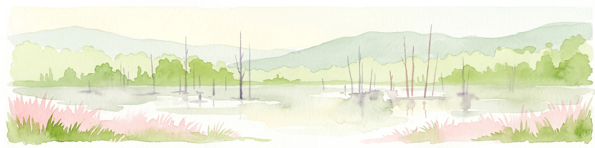
A watercolor painting depicting a calm wetland landscape with thin, bare tree trunks rising from the water, backed by soft green rolling hills and lush vegetation.
Nature reserveBrandenburg
About 20 km away#1 closest

South

Arnimswalde Nature Reserve: Mapped Protected Lake and Forest Ecosystems in Brandenburg

Glacial landscape and Natura 2000 protected territory

Arnimswalde represents a significant protected nature reserve within the Brandenburg region of Germany. This detailed geographic profile covers the reserve's unique glacial lake basins, peat-stained dystrophic waters, and diverse forest communities, offering a structured view of its contribution to regional biodiversity and the broader Schorfheide-Chorin conservation framework.

Area
14.069 km²
Established
1990
IUCN
IV
Protected areaBrandenburg
About 21 km away#2 closest

Southeast

Suckower Haussee Protected Area: Geographic Overview and Habitat Mosaic in Uckermark, Brandenburg

Mapping spring mires, wet meadows, and dry grassland ecosystems

Suckower Haussee preserves a diverse habitat gradient typical of the Uckermark district. The protected area features a unique juxtaposition of limnic, peat-forming wetland habitats and nutrient-poor dry grasslands. This site acts as an essential component of the regional conservation network in northeastern Brandenburg, demonstrating the importance of small-scale landscape protection.

Area
1.37 km²
Established
1990
Scope
Terrestrial
Water
Major water bodies
A soft watercolor illustration of a lake landscape with calm water, a green tree-lined shore, and gently rolling hills in the background.
Nature reserveBrandenburg
About 24 km away#3 closest

South

Krinertseen Nature Reserve: Protected Glacial Lakes and Bog Landscapes in Brandenburg

Essential geographic data for the Uckermark wetland conservation area.

Krinertseen provides a concentrated view of Brandenburg's post-glacial terrain. This nature reserve serves as an ecologically significant area defined by mesotrophic-alkaline lakes and active lake-succession mires. The site acts as a key component of the wider Schorfheide-Chorin conservation network, showcasing the complex relationship between regional hydrology and protected forest ecosystems.

Area
3.51 km²
Established
1990
IUCN
IV
Relief
Lowland
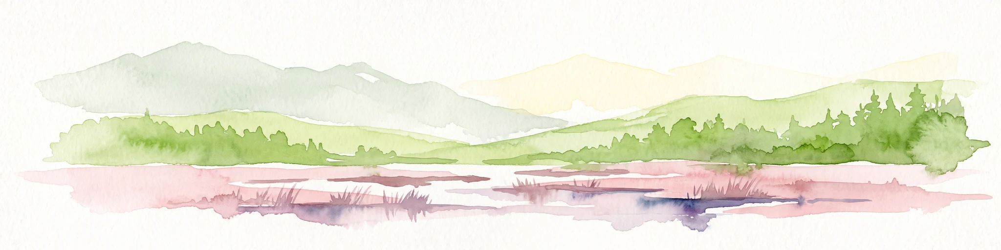
Watercolor painting of a gentle green hilly landscape with a foreground of soft pink and purple tones, set against a light background.
Nature reserveLandkreis Uckermark
About 24 km away#4 closest

South

Endmoränenlandschaft bei Ringenwalde: Nature Reserve and Glacial Landscape Exploration

Geomorphology and protected forest geography in Landkreis Uckermark

This nature reserve stands as a textbook example of end moraine morphology shaped by Pleistocene glaciers. The area serves as a vital component of the broader Schorfheide-Chorin Biosphere Reserve, preserving a distinct system of forested ridges, basin lakes, and varied micro-relief that offers deep insight into the natural history of the Brandenburg region.

Area
5.69 km²
Established
1990
IUCN
IV
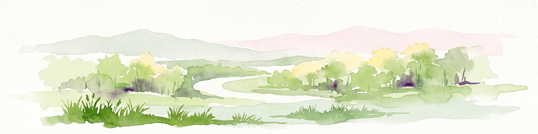
Watercolor illustration of a winding river surrounded by soft green trees and low hills under a pale sky.
Nature reserveBrandenburg
About 26 km away#5 closest

West

Kastavenseen-Molkenkammersee Protected Nature Reserve: Mapped Lake Geography and Forest Terrain

A key node in the Brandenburg lake and forest conservation network

Kastavenseen-Molkenkammersee is a notable nature reserve in Brandenburg defined by its four core waterbodies. The area features a complex mosaic of wetlands, reedbeds, and mixed woodland typical of the post-glacial lake districts. As a protected landscape, it serves as an essential link in the ecological corridor between the Uckermark and the neighboring Mecklenburg borderlands.

Area
2.68 km²
Established
2009
IUCN
IV
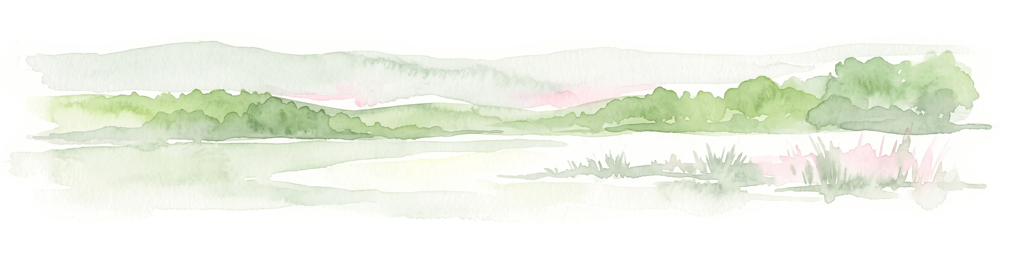
A soft watercolor painting of undulating green hills and forest foliage against a white background.
Nature reserveBrandenburg
About 26 km away#6 closest

South

Buchheide Nature Reserve: Glacial Terrain and Forest Conservation in Brandenburg

Base-rich moraine and waterlogged habitat geography

The Buchheide nature reserve in Brandenburg offers a distinct case study in post-glacial landscape ecology. Centered on lime-rich ground moraine and seasonal wetness, the area supports specialized forest habitats. This site provides a clear view into the interactions between ancient geological formations, riparian zones, and current regional conservation strategies across the Uckermark.

Area
5.66 km²
Established
1990
IUCN
IV
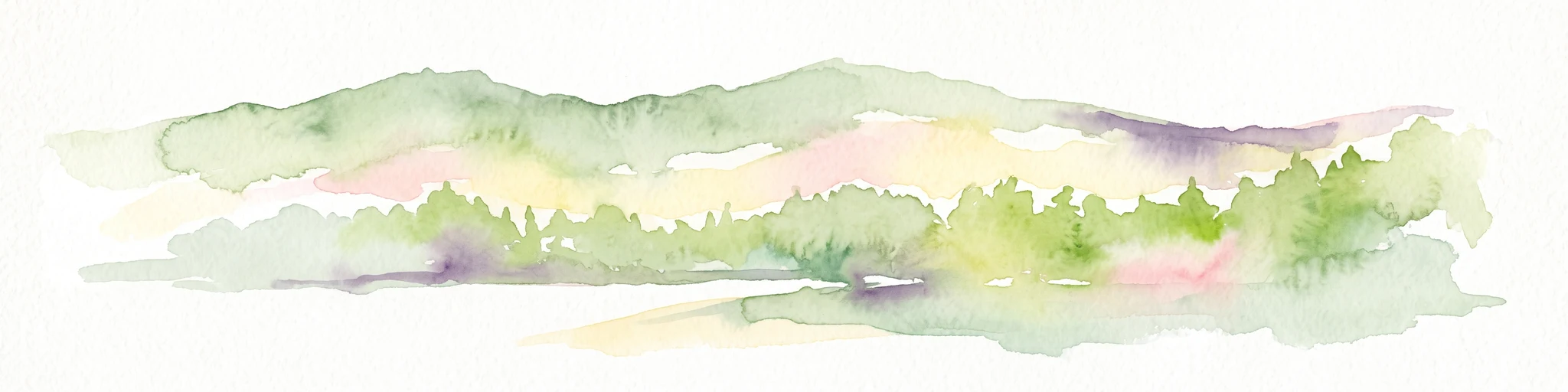
A soft, artistic watercolor painting of a green landscape leading to a lake, with rolling hills in the background and soft morning or evening light.
Nature reserveBrandenburg
About 26 km away#7 closest

South

Bollwinwiesen/Großer Gollinsee Nature Reserve: Brandenburg Protected Area Atlas

Oligotrophic lake chains and peat-forming mire landscapes

Bollwinwiesen/Großer Gollinsee forms a critical ecological anchor within the Schorfheide-Chorin Biosphere Reserve. The area preserves a distinct glacial mosaic where clear water, Sphagnum-dominated mires, and traditional wet meadows converge to create a protected landscape defined by its high ecological integrity and historic conservation status.

Area
9.075 km²
Established
1990
IUCN
IV
Relief
Lowland
Nature reserveBrandenburg
About 27 km away#8 closest

South

Winkel Nature Reserve: Glacial Landscape and Wetland Geography in Brandenburg, Germany

Mapping kettle-hole basins and moraine terrain

Winkel Nature Reserve serves as a vital protected area for studying the hydrological character of the Uckermark. The reserve features a dense network of small, water-filled kettle holes formed by melting glacial ice. This geographic record explores the interconnected wetland habitats and ground moraine surfaces that define this sensitive protected landscape in northeastern Germany.

Area
1.45 km²
Established
1990
IUCN
IV

Common questions about visiting, size, designation, and location context for Zerweliner Koppel

Zerweliner Koppel FAQs for park facts, access, geography, and protected area context

Find quick answers about Zerweliner Koppel, including protected-area facts, park geography, trail and visitor context, and how the park fits into its surrounding country and regional landscape.
MoriAtlas Explorer

Continue Your Protected Areas Search Across the Global Atlas

Deepen your exploration by continuing the structured search for national parks and protected areas worldwide. Utilize the comprehensive filtering capabilities to compare different conservation landscapes and refine your understanding of global park geography. Discover more about the distribution and characteristics of protected natural areas.

Global natural geography