
Mapping geographic diversity from tropical coastal plains to central mountainous highlands
Comprehensive Atlas of Natural Features and Protected Landscapes Across Sri Lanka
Examine the varied natural features associated with protected areas across Sri Lanka, a tropical island nation defined by distinct highland and coastal terrain. This collection provides a geographic perspective on the islands diverse natural landscapes, tracing relationships between protected territory and regional topography. Use this resource to analyze how park boundaries intersect with specific geologic, hydrological, and forest formations throughout the country.
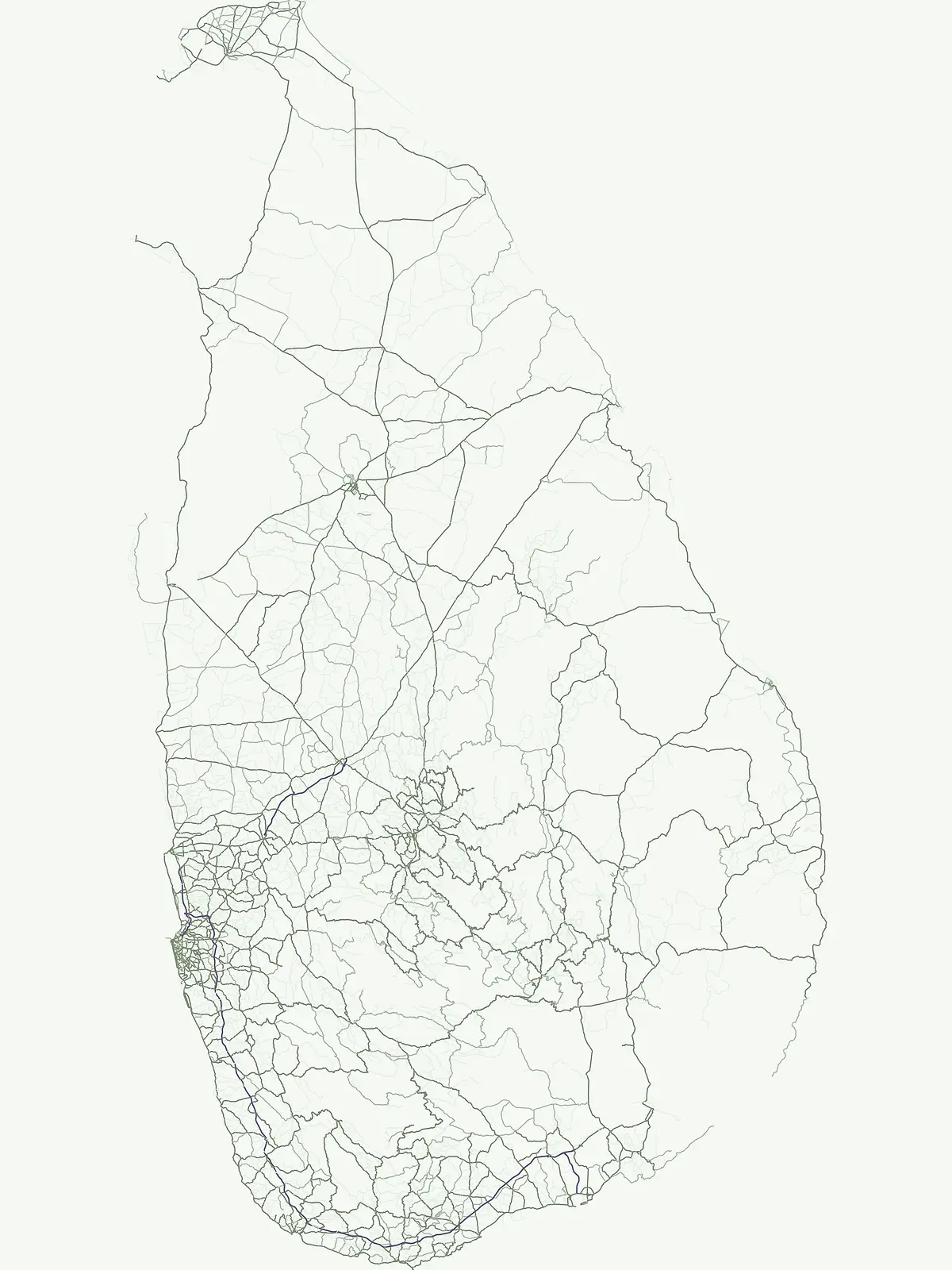
Trace diverse landforms, coastal systems, and inland water features across the island.
Named Natural Features and Landmarks in Sri Lanka Protected Areas
Regional summit distribution in Sri Lanka
Peaks
Discover a structured record of named peaks, hill summits, and mountain high points located throughout the national park system of Sri Lanka. Use this geographic resource to identify summit elevations, prominence, and mountain range affiliations within protected landscapes. The data focuses on the precise physical definition of these elevated landforms and their position within local geological structures.
Geography of fluvial systems in island protected areas
Rivers
Explore the geographic distribution of named rivers and natural watercourses flowing through protected regions in Sri Lanka. This collection provides an atlas-focused view of fluvial channels, seasonal reaches, and drainage systems, offering a clear understanding of how these watercourses intersect with protected wilderness boundaries throughout the island.
Continue Exploring Sri Lanka's Protected Lands and Natural Geography
Further your understanding of Sri Lanka's ecological regions by exploring its dedicated national parks and protected landscapes. This browse surface facilitates a deeper dive into the country's conservation geography, enabling comparisons and detailed views of its natural territories. Investigate the mapped boundaries and regional context of protected areas across the island nation for a comprehensive geographic overview.