
Mapping terrain, coastal zones, and mountain features across Tunisian protected land areas.
Named Natural Features and Protected Landscapes Within the National Geography of Tunisia
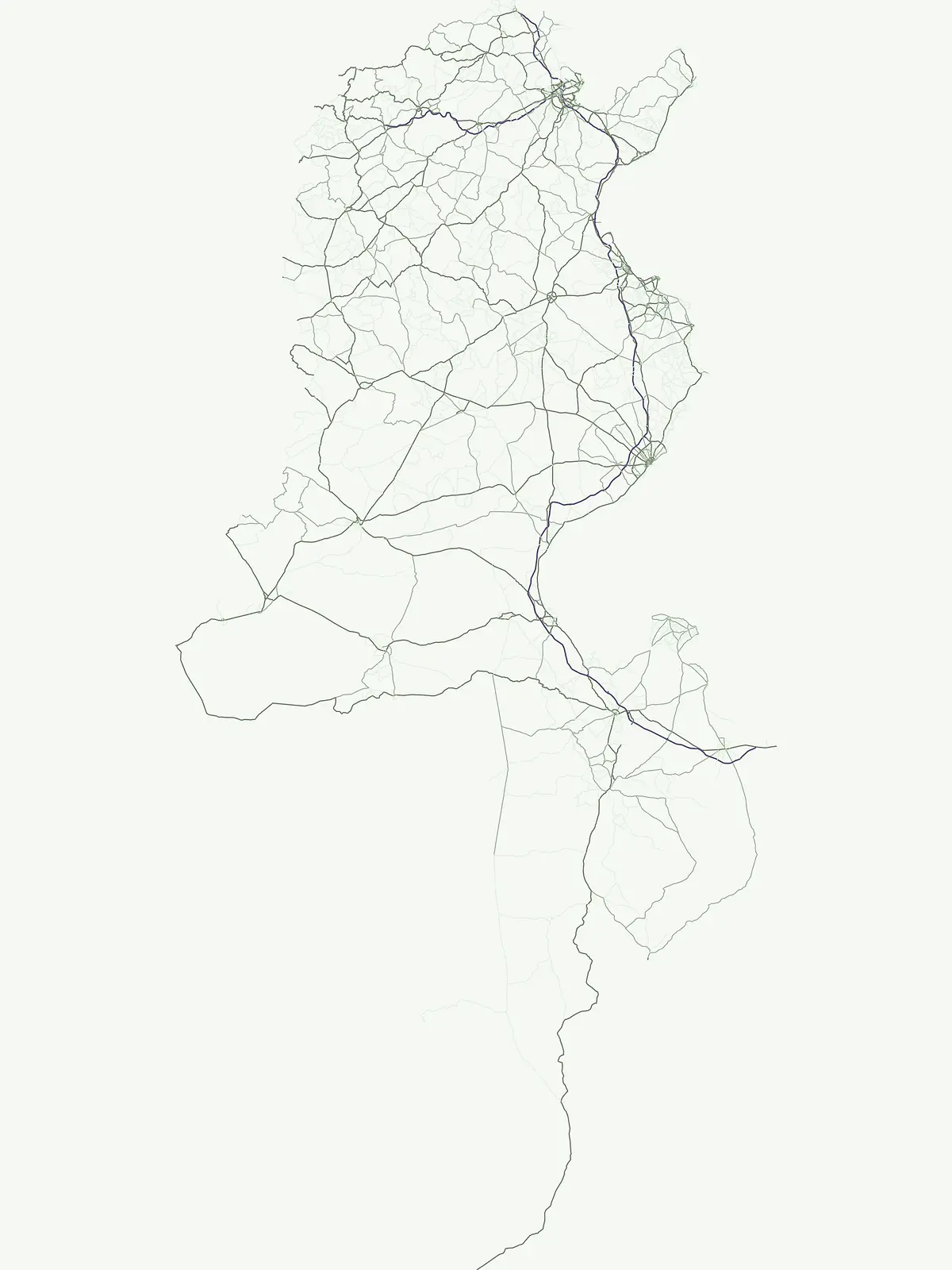
Examine the distribution and variety of significant natural features associated with protected areas across Tunisia. This collection highlights the interplay between regional geography and defined wilderness zones, providing a clear map of terrain types and landmarks that define the nation. Discover how specific physical landscapes intersect with formal conservation boundaries throughout the country.
Two named natural features connected with Ichkeul National Park
Explore Tunisia’s park-associated lake and peak records
Natural basin distribution across Tunisian topography
Lakes
Examine the varied lake formations found within the protected regions of Tunisia. This data-driven collection highlights individual natural basins, offering insight into their regional geography and environmental placement as part of the broader national landscape structure.
Named elevation points and mountain summits in Tunisia.
Peaks
Examine a curated record of named peaks found within Tunisian national parks. This atlas presents topographic summits and elevated landforms through a regional lens, supporting discovery of specific mountain landmarks and high points situated in protected natural landscapes across the country.
Continue Exploring Tunisia's Protected Natural Landscapes and Park Geography
Delve deeper into the mapped boundaries and regional distribution of Tunisia's national parks and protected areas. This pathway facilitates a more granular understanding of the country's conserved territories, supporting structured atlas exploration and comparative geographic analysis of its natural landscapes.