
Tracing regional landscape patterns and geographic characteristics across the Belgian territory
Comprehensive Atlas of Natural Features Associated with Protected Areas in Belgium
Explore the structured collection of named natural features found within the protected landscapes of Belgium. This dataset organizes diverse terrain types and geological formations to reveal how natural geography shapes the country's wilderness areas. Users can analyze the distribution of these features to understand the ecological and physical context of Belgium's most significant natural spaces.
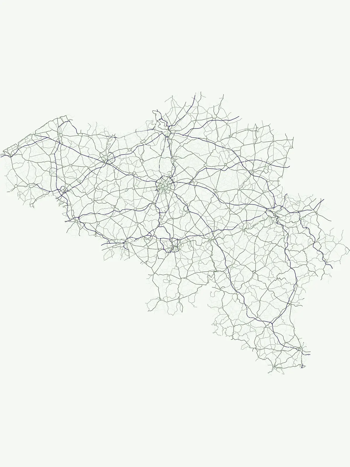
Map the diverse geological, hydrological, and forest landmarks across Belgian park regions
Browse Named Natural Features Across Belgium's National Parks and Protected Landscapes
Geographic analysis of stream flow in Belgian protected lands.
Streams
Access a structured collection of streams situated within the diverse parks and protected landscapes of Belgium. Each entry provides context regarding the watercourse and its local environment, allowing for meaningful geographic analysis of how these natural features shape the topography and drainage networks of various regions across the country.
Mapped river channels and watercourse distributions in Belgium
Rivers
Gain insight into the physical geography of Belgium through a systematic collection of rivers associated with protected lands. Each entry highlights the mapping of watercourse segments and their relationship to the surrounding terrain, providing a valuable resource for understanding the hydrography of the region.
Continue Exploring Belgium's Protected Landscapes and National Park Geography
Deepen your understanding of Belgium's natural heritage by exploring its national parks and protected areas in detail. Our platform provides the geographic context and mapped information necessary to appreciate the full scope of conservation efforts across the country, paving the way for focused discovery of individual park features and regional park distribution.