
Examining mountain ranges, forest ecosystems, and hydrological networks within protected areas
Geographic Atlas of Natural Features and Park Landscapes across the Kingdom of Bhutan
This geographic collection documents significant natural features identified across the protected park networks of Bhutan. By examining the interplay between mountain terrain, high-altitude forest ecosystems, and glacial water systems, users can visualize the physical geography that defines the protected lands of the Eastern Himalayas. These records focus on the distribution of terrain types linked to national park boundaries and broader regional landforms.
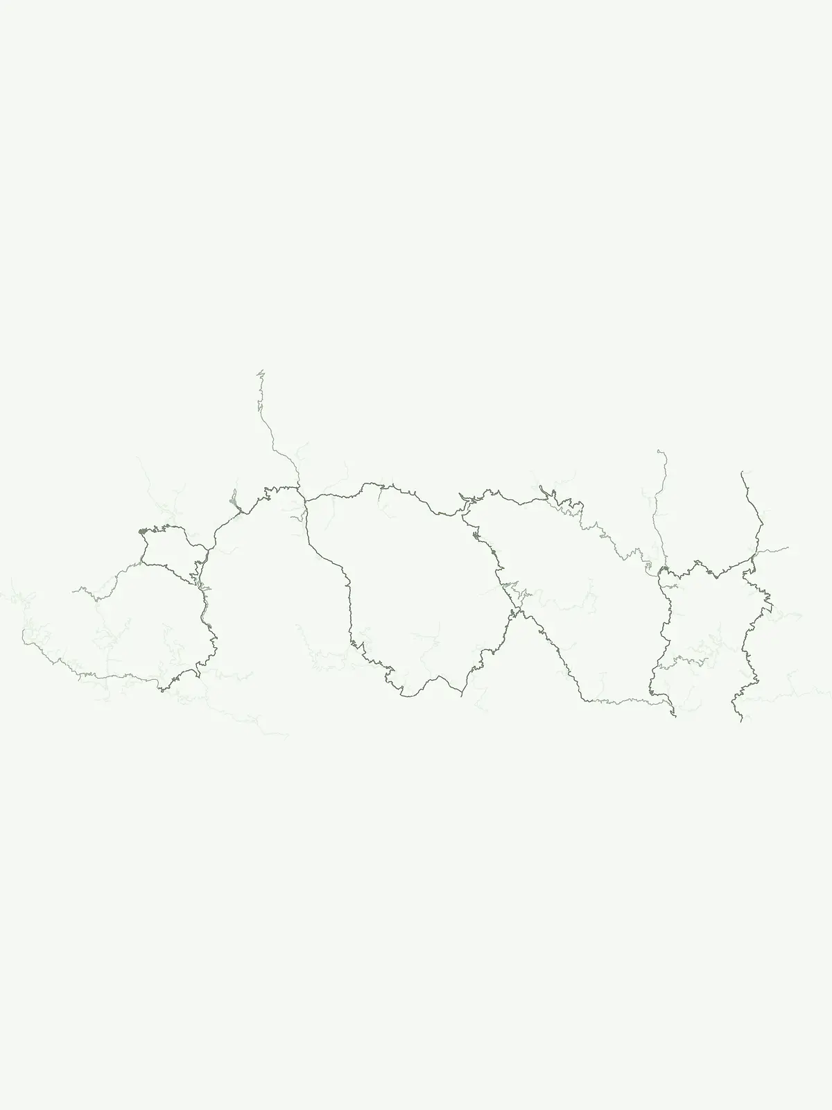
Trace peaks, glacial valleys, and river systems mapped within Bhutanese sanctuaries.
Geographic Landmarks and Natural Features in Bhutan National Parks
Data on summit identity and mountain range distribution
Peaks
Browse detailed records for named peaks located across protected Bhutan landscapes. This collection captures summit elevation, prominence, and massif relationships, providing a clear geographic view of mountain summits and their topographic context within the national park system.
Examining river network geography in Bhutan
Rivers
An organized exploration of river channels and fluvial systems found throughout the protected areas of Bhutan. This resource provides geographic context for major watercourses as they navigate the unique mountain terrain of this Himalayan nation.
Continue Exploring Bhutan's Protected Areas and Natural Landscapes
Delve deeper into the mapped geography and protected landscapes of Bhutan by exploring its diverse national parks and protected areas. This dedicated browse surface provides the crucial geographic context needed to understand conservation efforts and natural heritage across the Kingdom, guiding your atlas discovery of the nation's wild spaces.