
Mori Atlas logo
Country parks

Discover the geographic spread and atlas context of protected lands throughout Bhutan.

Bhutan National Parks: Browse Protected Areas and Mapped Landscapes Across the Kingdom

Access a comprehensive browseable list of national parks and protected areas within Bhutan, offering a clear view of the country's mapped natural landscapes. This resource is designed for users seeking to understand the geographic distribution and atlas context of conservation lands across the Kingdom of Bhutan, moving beyond a general overview to focus specifically on the protected areas that define its natural heritage.

Bhutan National Parks: Browse Protected Areas and Mapped Landscapes Across the Kingdom

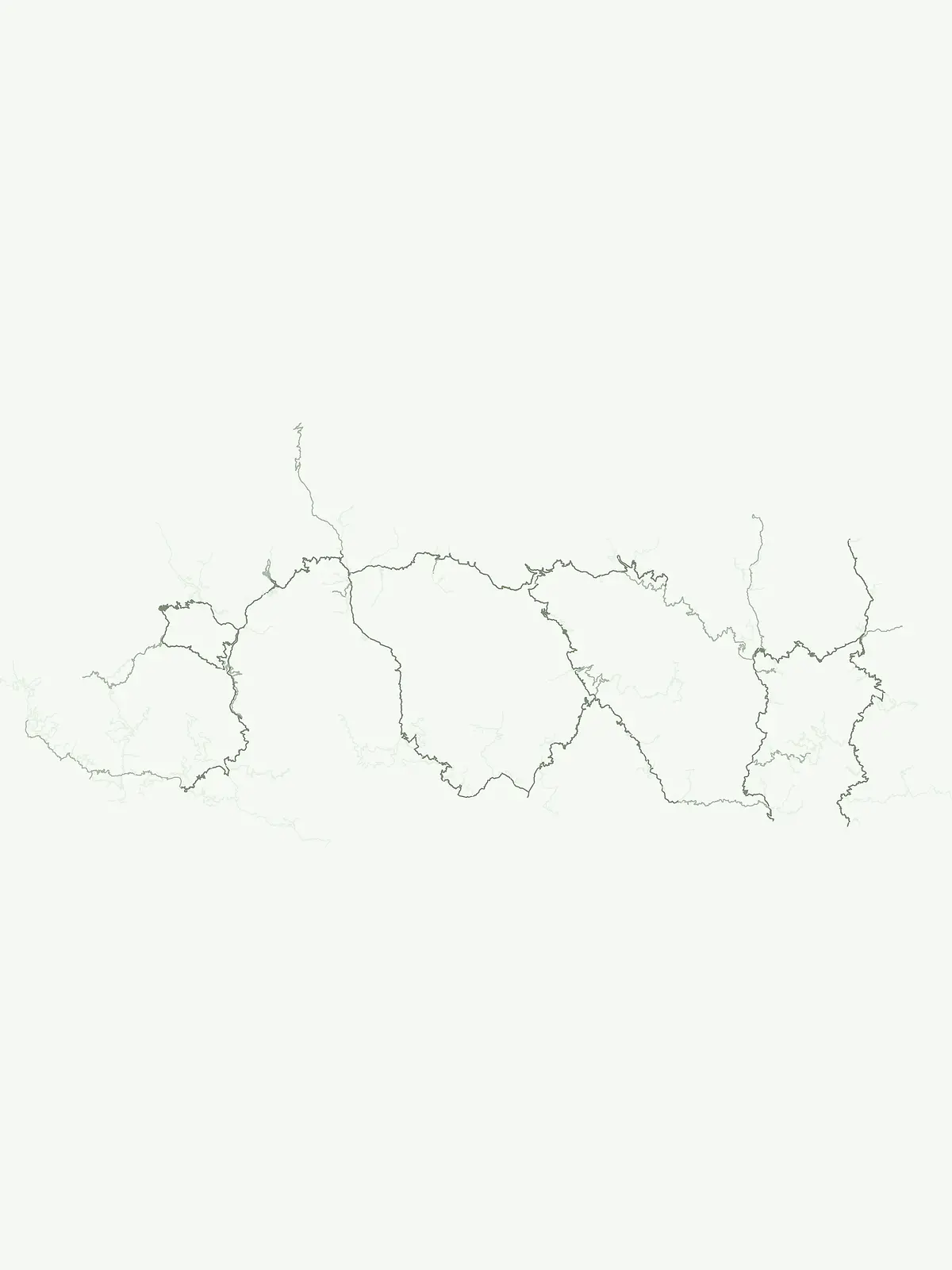
Mapped overview of Bhutan's diverse protected landscapes, charting their spread across the Eastern Himalayas.

Explore All National Parks and Protected Areas in Bhutan: A Complete Atlas Guide

Explore a comprehensive listing of Bhutan's national parks, wildlife sanctuaries, and diverse protected natural areas, showcasing the country's unique conservation landscapes. The full country-level index allows for detailed geographic discovery, helping users understand the distribution and ecological context of Bhutan's significant protected regions.

Showing 1 to 11 of 11 parks

National parkBhutanMountain

Royal Manas National Park

Explore the mapped terrain and diverse ecosystems of this landmark Bhutanese conservation area.

Royal Manas National Park, Bhutan's first national park established in 1966, serves as a critical conservation hub in the Eastern Himalayas. Spanning over 1,057 square kilometers, it protects a vast array of landscapes, from lowland tropical forests to permanent ice fields. Its designation as the kingdom's conservation showpiece and its role in transboundary protection underscore its immense geographic and ecological importance within Bhutan.

1,057 km²1966Highly restrictedII

National parkBhutanMountain

Jigme Dorji National Park

Explore mapped boundaries and diverse ecosystems within this national park.

Jigme Dorji National Park, located in the heart of Bhutan, is a testament to the country's commitment to conservation, covering over 4,300 square kilometers of pristine Himalayan terrain. This national park encompasses diverse ecosystems, from lush subtropical forests in its lower reaches to barren alpine meadows and permanent snowfields at its highest elevations. The park's extensive mapped boundaries showcase a landscape vital for unique wildlife and sacred cultural sites, offering a comprehensive view for atlas-based geographic discovery.

4,316 km²1974AlpineII
National parkBhutanMountain

Phrumsengla National Park

Explore mapped boundaries and diverse Himalayan terrain.

Phrumsengla National Park serves as a vital protected area within Bhutan, characterized by its extensive altitudinal range and varied landscape. Spanning from subtropical valleys to alpine zones, the park showcases a remarkable transition of ecosystems, including significant old-growth fir forests. Its location and unique geographic features make it an important component of any study of the region's protected lands and Himalayan geography, offering rich data for atlas exploration and understanding natural landscapes.

905.05 km²1998TemperateModerate access
Wildlife reserveBhutan

Phibsoo Wildlife Sanctuary

Mapping the protected landscape and natural terrain of this Bhutanese sanctuary.

Delve into the specifics of Phibsoo Wildlife Sanctuary, a protected wildlife reserve situated within the geographic expanse of Bhutan. This park detail page focuses on its identity as a conservation landscape, offering insights into its mapped terrain and its significance within the broader regional geography of the Eastern Himalayas. Understand the protected boundaries and the unique natural context that Phibsoo Wildlife Sanctuary represents.

268.93 km²2009SubtropicalIV
Wildlife reserveBhutan

Motithang Takin Preserve

Explore the mapped geography and national animal sanctuary.

The Motithang Takin Preserve offers a unique glimpse into Bhutan's dedication to its national animal, the takin. This wildlife reserve, located near the capital city, provides a defined protected area where the distinctive goat-antelope thrives. By examining the preserve's mapped boundaries and its forested terrain, users gain insight into Bhutan's approach to conservation and the cultural significance of this iconic species within the Himalayan landscape.

0.034 km²TemperateModerate accessIV
Wildlife reserveTrashigang DistrictMountain

Sakteng Wildlife Sanctuary

Mapping the mountainous terrain and unique temperate ecosystems.

Sakteng Wildlife Sanctuary is a vital protected area in eastern Bhutan, recognized as a wildlife reserve. Spanning approximately 742 square kilometers within Trashigang District, it features a dramatic mountainous terrain characterized by steep valleys and alpine meadows. The sanctuary's landscape transitions from forested slopes to subalpine conifer forests, representing Bhutan's easternmost temperate ecosystems and offering rich geographic context for atlas exploration.

742.46 km²2003Remote accessIV
Wildlife reserveSamdrup Jongkhar District

Jomotsangkha Wildlife Sanctuary

Bhutanese wildlife reserve with defined park boundaries.

Jomotsangkha Wildlife Sanctuary is an important wildlife reserve located in the Samdrup Jongkhar District of Bhutan. This page serves as a dedicated portal for understanding the park's specific geographic footprint and its role as a protected landscape. Delve into the mapped extent of the sanctuary, its unique regional geography within southeastern Bhutan, and how it fits into the broader atlas of protected areas. It offers a focused lens on the park's boundaries and natural terrain.

334.73 km²TropicalAccess unknownMinor water
National parkTrongsa DistrictMountain

Jigme Singye Wangchuck National Park

Mapped protected area within Trongsa District's natural terrain.

Delve into the detailed geographic identity of Jigme Singye Wangchuck National Park, a protected national park situated in Bhutan's Trongsa District. This park provides essential context for understanding Bhutanese geography and conservation landscapes. Examine its mapped boundaries and place within the regional terrain, offering a structured exploration for anyone interested in national park geography and protected natural areas.

1,730 km²1995SubtropicalModerate access
Wildlife reserveTrashiyangtse DistrictMountain

Bumdeling Wildlife Sanctuary

Explore its regional geography and natural landscape context.

Bumdeling Wildlife Sanctuary is a designated wildlife reserve located in Bhutan's Trashiyangtse District. This page provides detailed atlas-style information on its protected landscape, including its geographic positioning and mapped boundaries. Understand how this reserve contributes to the regional geography and serves as a crucial element of Bhutan's protected areas.

1,520.61 km²1998Access unknownMinor water
Nature reserveBhutanMountain

Torsa Strict Nature Reserve

Mapped geography and protected boundaries within the Eastern Himalayas.

Torsa Strict Nature Reserve represents a vital component of Bhutan's protected natural areas. This detail page offers a structured exploration of its identity as a nature reserve, focusing on its geographic placement within the country and the surrounding Himalayan terrain. Users can investigate the mapped outlines of this protected landscape, gaining a clearer understanding of its regional context and its significance for atlas-driven geographic discovery.

609.51 km²1993Minor water
National parkBhutanMountain

Wangchuck Centennial National Park

Mapped geographic context and park identity in the Eastern Himalayas.

Wangchuck Centennial National Park stands as a protected national park within Bhutan, offering a detailed look at its geographic distribution and landscape characteristics. This page provides essential atlas-level information about its mapped boundaries and its significance as a protected area in the South Asian region.

4,914 km²2008AlpineModerate access
Other countries

Trace the Regional Spread of Protected Landscapes and Compare Atlas Geography Beyond Bhutan

Discover National Parks in Countries Near Bhutan: Explore Himalayan Protected Areas

Browse national parks and protected areas in countries surrounding Bhutan, extending your exploration across the diverse South Asian and Himalayan geography. Expand your geographic understanding by comparing varied conservation landscapes and park systems as you navigate the broader international atlas.

India National Parks and Protected Areas: Geographic Atlas Explorer

Navigate India's significant protected areas and national parks through a structured geographic lens. This atlas-focused exploration reveals the country's diverse natural landscapes and the geographical context of its conservation efforts. Understand the distribution of protected lands and gain insights into the regional geography that shapes these vital natural reserves.

182 parks

Explore Thailand's National Parks and Protected Areas: A Geographic Atlas Overview

Navigate the diverse protected areas of Thailand, from mountainous northern regions to coastal parks. This atlas view offers insights into the geographic distribution of national parks and conservation landscapes, enabling a structured exploration of the country's natural terrain and mapped boundaries. Understand the scope of protected lands and their place within Thailand's broader geography.

119 parks

Pakistan National Parks and Protected Areas: Geographic Atlas Explorer

Navigate the geography of Pakistan's protected areas and national parks. This atlas provides a structured overview of the country's conservation landscapes, highlighting their geographic spread and key natural terrain features. Understand the regional context of protected lands, offering a clear map-based discovery experience for researchers and explorers alike.

63 parks

China National Parks and Protected Areas: Geographic Atlas Exploration

Access a structured overview of China's national parks and protected areas. This geographic atlas entry provides essential context for understanding the distribution and landscape features of protected natural areas throughout the country, supporting detailed map exploration and regional geographic research.

34 parks

Explore Protected Natural Landscapes of Bangladesh: National Parks and Reserves

Navigate the geography of Bangladesh through its network of national parks and protected areas. This resource provides a structured approach to understanding the distribution of conservation landscapes, their mapped boundaries, and the regional context of their natural terrain. Discover the unique geographic features that define Bangladesh's protected lands, from the Sundarbans mangroves to the Chittagong Hill Tracts, offering a foundation for detailed exploration.

19 parks

Nepal National Parks and Protected Areas: Geographic Atlas Overview

Access a structured atlas of Nepal's national parks and protected areas, focusing on their geographic scope and distribution. This resource facilitates understanding the country's varied natural terrain, from alpine ecosystems to mountainous protected areas. Discover the mapped boundaries of conservation landscapes, providing a clear geographic context for each protected region within Nepal.

12 parks

Laos National Parks and Protected Areas: A Geographic Atlas and Map Explorer

Examine the distribution of national parks and protected areas throughout Laos. This resource provides a structured look at the country natural terrain, mapping essential conservation regions such as biodiversity corridors, wetland systems, and mountainous forest environments for geographic exploration.

8 parks

Myanmar National Parks and Protected Areas: Browse Mapped Landscapes and Regional Geography

This section provides a structured atlas view of Myanmar's national parks and protected lands. Users can explore the geographic distribution and mapped boundaries of these significant natural areas. Understand the regional context and landscape diversity across Myanmar, from mountain parks to conservation areas, facilitating a deeper geographic discovery.

5 parks

Protected area types

Continue Exploring Bhutan's Protected Area Designations and Geographic Context

Delve deeper into Bhutan's unique protected area classifications by continuing your exploration of its designation hub. Understanding these categories provides critical context for appreciating the mapped boundaries and regional geography of Bhutan's conservation lands. Use this structured approach to uncover detailed insights into each represented park designation within the Kingdom of Bhutan.

Bhutan Protected Area Designations
MoriAtlas Explorer

Continue Exploring Bhutan's Protected Area Geography and Landscape Filters

Deepen your understanding of Bhutan's protected natural landscapes by continuing your search through its national parks and wildlife sanctuaries. Utilize advanced filtering options to analyze mapped terrain, regional environmental patterns, and specific conservation designations. This focused approach enhances your atlas-based exploration of the Kingdom's significant natural heritage.

Global natural geography






