
Tracing geographic formations, water bodies, and terrain diversity within protected lands
Bulgaria Natural Features and Protected Landscape Atlas: A National Geographic Survey
This geographic collection maps named natural features situated within the boundaries of parks and protected areas throughout Bulgaria. The inventory allows for the systematic exploration of distinct landscape types and geological formations that define the country’s regional geography. By focusing on terrain and water-based markers within conservation zones, the atlas provides a clear context for understanding how natural development connects to national park geography.
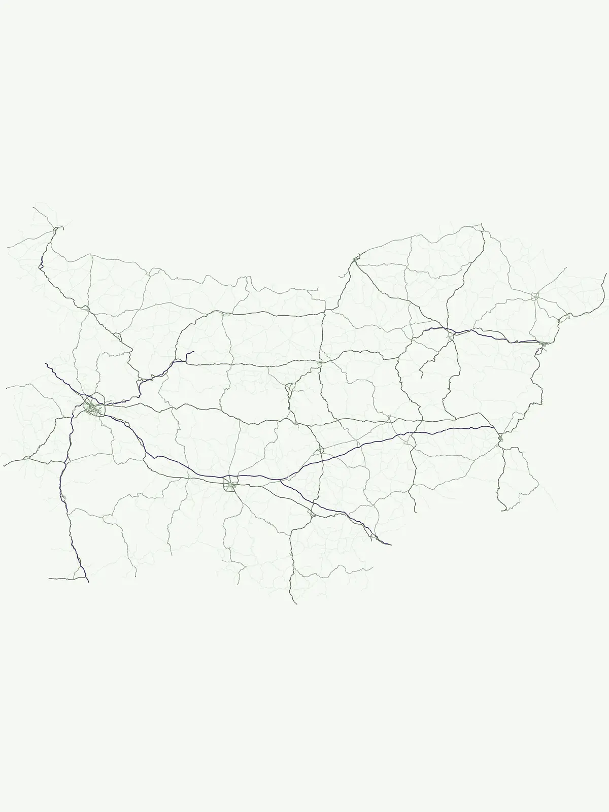
Read protected mountain geography through individual mapped landmarks
Explore named natural features linked to Bulgaria's national parks
Summits, mountain settings, and park connections
Peaks
Open a focused collection of named peaks linked to Bulgarian national parks and protected areas. Each entry represents a summit point, not an entire mountain or range, helping you move from a precise natural feature to the park landscapes and geographic records around it.
Mapping watercourses across Bulgarian protected landscapes
Rivers
Gain insight into the physical geography of Bulgaria by examining rivers associated with its protected natural areas. This database provides a structured look at how these significant watercourses move through regional park boundaries, offering clarity on the hydrological context within the country's diverse terrain.
Natural basin features and water geography in Bulgaria
Lakes
Browse a curated collection of natural lakes identified within the protected territory of Bulgaria. These entities provide a detailed look at inland water basins, their elevation, and their placement within broader protected geography and diverse regional terrain.
Mapped mountain range features across Bulgarian protected lands
Mountain ranges
Access a structured inventory of mountain ranges found throughout Bulgaria, focusing on those represented within national protected areas. This index highlights the geographic structure, connectivity, and highland extent of ranges across the country to support terrain-focused analysis and regional exploration.
Examining topographic low points in protected mountain landscapes.
Mountain saddles
Browse a focused collection of named saddle landforms found within Bulgarian protected areas. These geomorphological features provide critical context for ridge relief and summit positioning, allowing for a structured comparison of mountain terrain across the country.
Geographic catalog of natural karst and geological surface voids.
Cave entrances
Navigate a collection of cave entrance sites identified across Bulgaria. This data highlights the specific surface openings where subterranean systems connect with the exterior, providing a detailed look at the geological markers found within the national system of protected lands and park areas.
Regional alpine geography and ice body distribution.
Glaciers
Access a structured collection of named glacier formations situated within the protected high-altitude terrain of Bulgaria. This map-oriented database provides geographic context for persistent bodies of land ice, tracing their placement within mountain valleys and surrounding wilderness areas across the country.
Mapped standing water features across Bulgarian landscapes
Ponds
Examine a collection of named ponds situated in the parks and protected lands of Bulgaria. This resource provides geographic context for smaller bodies of standing water, highlighting their presence within diverse natural terrain. Use these records to trace hydrological distribution and physical settings within the country's broader conservation zones.
Mapping human water infrastructure in Bulgarian nature
Reservoirs
Examine a collection of managed reservoirs in Bulgaria that exist within protected landscapes. These bodies of water, influenced by infrastructure like dams and diversions, reveal a distinct layer of geography across the country, providing insight into the relationship between impoundment systems and natural terrain.
Mapping river descents across Bulgarian protected areas
Waterfalls
Examine the catalog of waterfall entities situated within Bulgarian national parks and protected zones. This index highlights the physical geography of streams and rivers that drop over steep rock steps, providing specific context on the geological and hydrological markers that characterize these distinct natural features throughout the Balkan state.
Continue Exploring Bulgaria's Protected Landscapes and National Parks
Deepen your understanding of Bulgaria's conservation efforts by continuing to browse its national parks and protected areas. Examine the mapped boundaries, discover regional geographic patterns, and compare the unique characteristics of its protected landscapes. This detailed view is crucial for building a comprehensive atlas of Bulgaria's natural heritage.