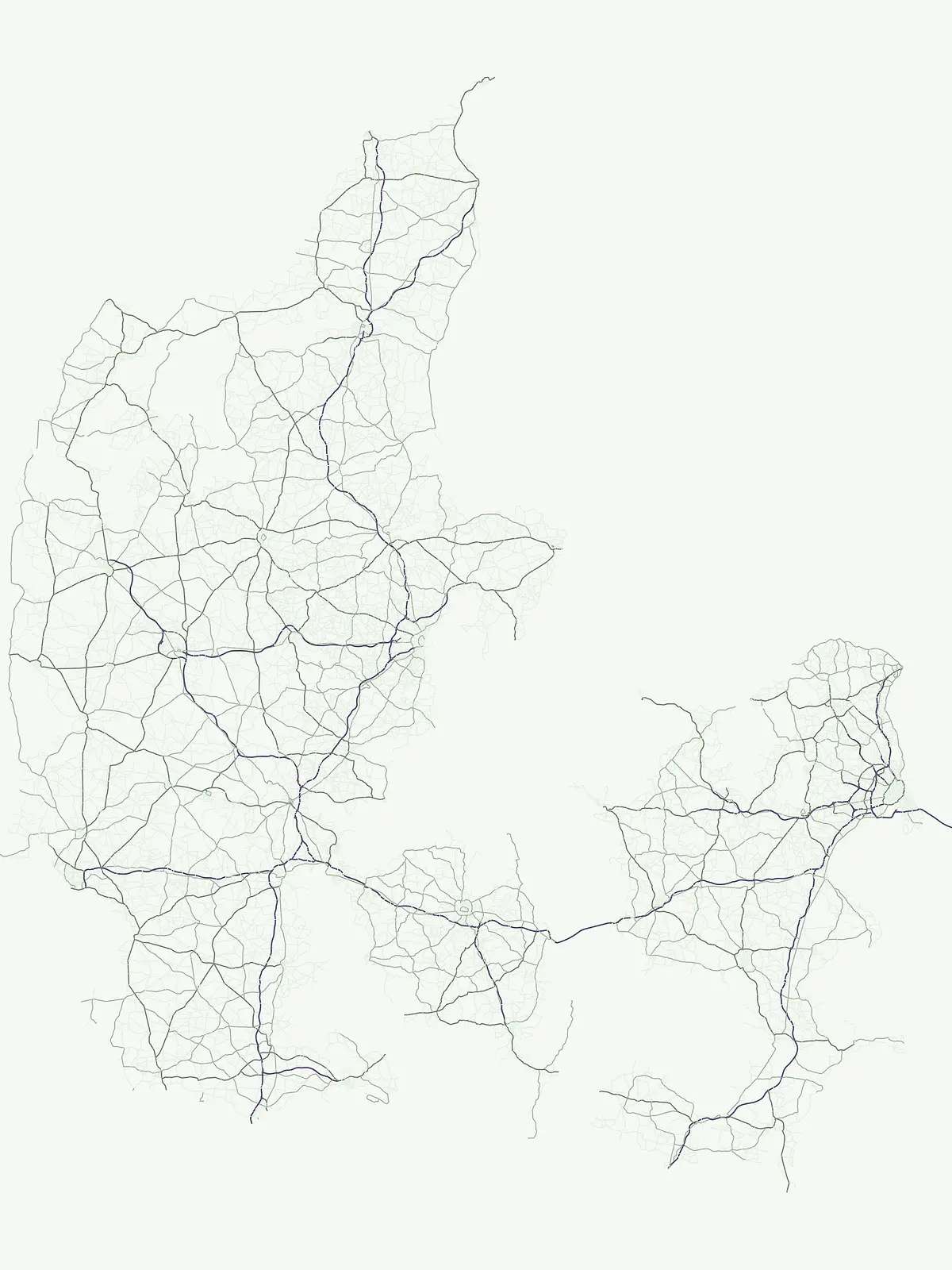
Mapping regional animal conservation landscapes and ecologically significant protected terrain.
Comprehensive Atlas of Wildlife Reserves and Protected Habitat Areas Across Denmark
Denmark maintains protected wildlife reserves designed to safeguard essential habitats and animal populations. This geographic index tracks established reserves, offering clarity on how these conservation corridors function within the wider Danish landscape. Through mapped boundaries and regional context, examine the distribution of these critical sites that support local ecological health and habitat continuity across the archipelago.
Examining animal protection networks and coastal wetland habitats across national territory.
Wildlife Reserve in Denmark: Protected Habitats and Conservation Areas
Wildlife reserves in Denmark safeguard vital animal populations and fragile coastal ecosystems across regional wetlands. These specialized conservation zones maintain essential ecological continuity for migratory birds and native fauna.
Wildlife Reserve Parks in Denmark: Mapped Protected Habitats
Browse designated wildlife reserves in Denmark to examine protected coastal landscapes and animal habitats. Filter specialized conservation zones to study regional ecological coverage and wetland environments.
Wildlife reserveDenmark
Dybsø Fjord
A shallow fjord system on the southwestern coast of Zealand
Dybsø Fjord represents a primary protected landscape in Denmark, featuring a broad and exceptionally shallow lagoon environment. By tracing its boundaries and surrounding peninsulas, users can analyze a critical wetland habitat that supports international bird protection networks and reflects the unique coastal scenery of the Baltic region.
More designation routesCompare adjacent designation families to understand the broader national park system.5
Explore Other Protected Area Designations and Conservation Types Across Denmark
Examine how alternative park categories and protected area types shape wildlife conservation across Denmark. Comparing these designation pathways reveals the full extent of regional habitat management and ecological coverage.
Regional map of protected natural sites across Denmark
Protected area
44%
Trace the geographic reach of Denmark through a curated collection of 37 protected areas and conservation sites. This resource offers a structured way to navigate regional landscape diversity, from coastal habitats and river valleys to expansive heathlands and vital wetlands located across the nation.
Regional biodiversity and habitat preservation mapping.
Nature reserve
40%
Discover the network of nature reserves in Denmark through a structured geographic lens. This collection provides mapped insights into the conservation areas that define the ecological character of the Jutland peninsula and the surrounding islands.
Regional geography, scenic stewardship, and landscape parks
Protected landscape
8%
Discover seven significant protected landscapes found throughout Denmark. This geographic index covers areas where conservation is tied to scenic character and the interaction between natural terrain and cultural land management. Explore the distribution of these regions within the Danish atlas.
Discover 4 nationally recognized parks and their landscapes.
National park
6%
This country-detail page provides an atlas-centric view of Denmark's national park system. Understand the geographic distribution, landscape characteristics, and protected area significance of these nationally recognized sites, facilitating focused exploration of Danish natural heritage.
Browse the protected natural monuments of Denmark through a specialized geographic lens. This selection emphasizes sites of geological or scenic significance, offering a focused view of the country's most unique and compact protected landscapes.