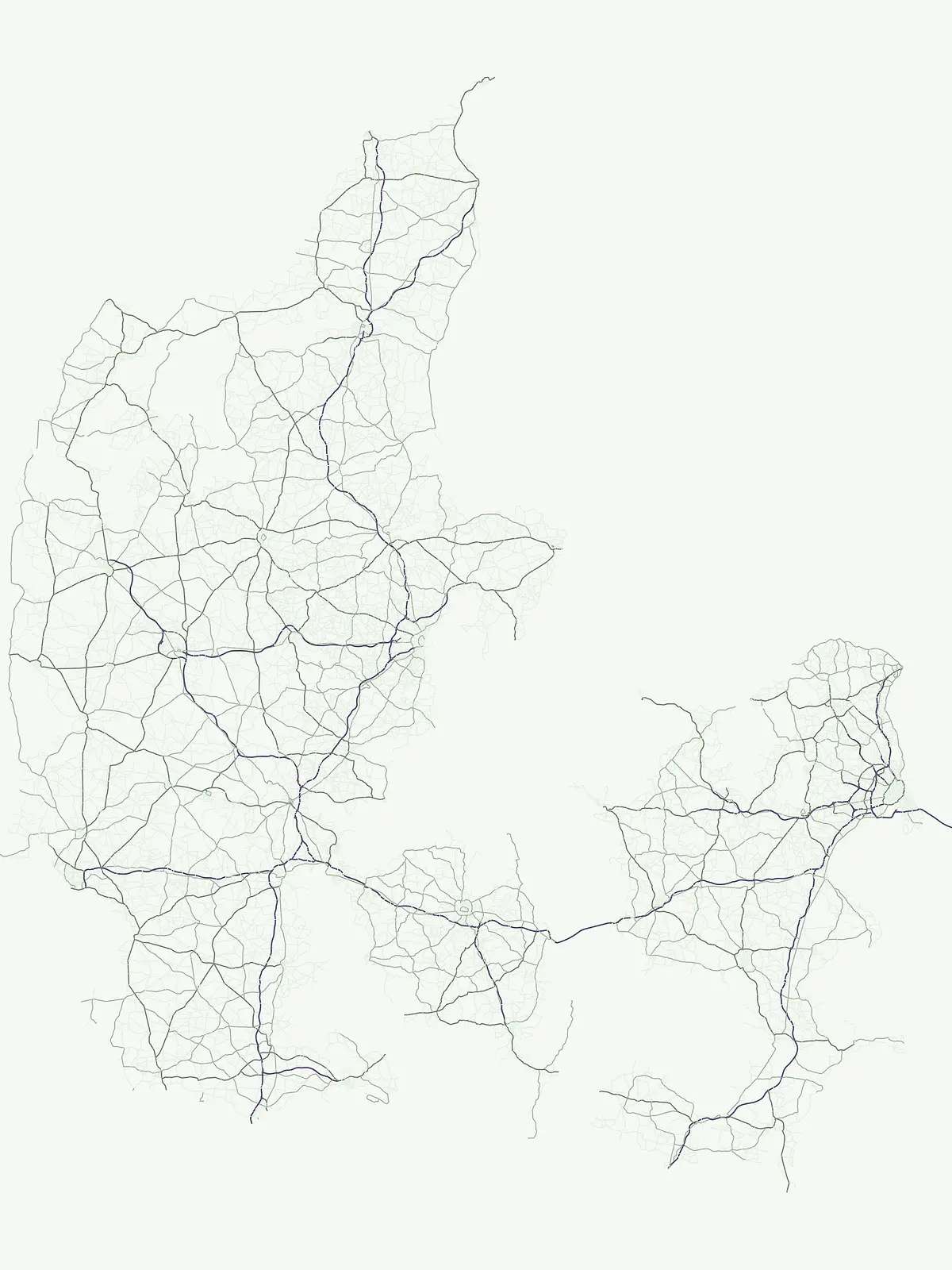
Explore diverse landscapes and protected natural terrain within the Danish geographic framework.
Comprehensive Atlas of Protected Areas and Conservation Sites Throughout Denmark
The Denmark protected area collection gathers vital conservation sites and natural reserves that shape the nation's unique landscape. This atlas provides structured access to diverse habitats, including coastal dunes, wetlands, and heathlands, reflecting the broad environmental scope found across the Jutland peninsula and the surrounding archipelago. Users can trace regional geography through identified sites, providing a clear map of conservation initiatives across the Danish territory.
Flexible geographic index for specialized regional habitats and protected landscapes across the country
Protected Areas in Denmark, Mapped Conservation Sites and Natural Reserves
General protected areas in Denmark capture valuable conservation ground that falls outside standard normalized park groups. Regional habitats, coastal wetlands, and heathland reserves form a flexible index of protected Danish terrain.
Explore matching protected areas across Denmark, ranging from coastal dunes and heathlands to river valleys and fjords. Filtering by designation allows researchers to examine regional habitat distribution and conservation variety within the country.
Protected areaNorth Zealand
Furesø
Glacial tunnel valley landscapes and Natura 2000 protected waters.
Spanning deep basins and shallow shorelines, Furesø represents a significant protected freshwater body within the North Zealand region. The surrounding mosaic of peatlands and alder swamps highlights a legacy of glacial activity and ongoing conservation efforts. This area remains a focal point for understanding the interplay between metropolitan geography and preserved natural terrain.
Shallow bay ecosystems, glacial cliffs, and Limfjorden sand flats.
Nissum Bredning is a broad, low-lying basin in western Denmark known for its extensive shallow sand flats, including Fjordgrund and Gåseholm. The protected area encompasses a diverse coastal mosaic of brackish lagoons, salt meadows, and the distinctive Toftum Bjerge glacial cliff. This geography offers a clear view into the intersection of active North Sea currents and sheltered inland fjord environments.
Coastal river mouth geography and tidal wetland terrain
Randers Fjord represents a significant protected area in eastern Jutland, Denmark, characterized by its winding water corridor and tall stands of common reed. This geographic survey details the transition from the Gudenå river channel to the Kattegat, highlighting the marsh-like atmosphere and conservation-focused wetlands that define the regional coastline.
Agger Tange is a significant coastal landform in northwestern Denmark, characterized by its exposed western dunes and sheltered eastern salt marshes. This protected landscape documents the dramatic influence of storm surges on the Jutland coast, resulting in a complex network of lagoons and tidal flats that support critical bird habitats.
Coastal peninsula landscape and tidal wetland geography
Skallingen is an active, naturally formed peninsula in Denmark, characterized by its horizontal gradients of beach, dune, and marsh. As a protected area within the wider Wadden Sea ecosystem, the land showcases the raw interplay of sediment and sea, offering a distinct look at one of Europe's most significant intertidal landscapes and its layered historical legacy.
Coastal wetlands, shallow marine habitat, and fjord systems
Aalborg Bugt represents a defining seascape for northern Denmark, stretching along the Kattegat coast to include diverse coastal features like dunes, salt meadows, and rich fens. As the largest Natura 2000 site in the country, the bay supports a continuous conservation corridor that bridges marine environments with inland fjord networks, offering a deep look into the regional geography and protected-land dynamics of the Jutland peninsula.
Stavns Fjord offers a rare glimpse into a sheltered coastal landscape set entirely within the island of Samsø. Characterized by its calm waters, shallow tidal flats, and the curving spit of Besser Rev, this protected site is a critical Ramsar wetland habitat for coastal bird populations. Explore the unique geography and layered history, from Viking canals to medieval fortifications, that define this essential Danish protected area.
Ø Bakker stands as a striking geological landmark where a heather-clad hill ridge rises sharply from the lowland meadows of Denmark. This protected area offers clear insights into the undulating terrain and dry heath habitats preserved between the meanders of the Nørreå river, providing a valuable study in regional glacial geomorphology and conservation mapping.
Mapped heathland, lake basins, and protected conservation terrain
Flyndersø occupies a distinctive low-lying landscape in Midtjylland, distinguished as Denmark's largest heath lake. The area features two primary water basins linked by a narrow channel, set amidst a historic expanse of managed heath and conifer plantation woodland that serves as a central protected site for regional conservation.
Ove Sø features a long, shallow basin and complex wetland margins within the Thy landscape of Denmark. This entry provides a detailed look at the lake's hydrographic position, its connection to the Limfjorden system, and the protected status of its surrounding reed beds and meadow habitats.
More designation routesCompare adjacent conservation categories across the national park network5
Explore Other Park Designations and Protected Area Types in Denmark
Browsing alternative designation families in Denmark reveals how different conservation frameworks structure local protected landscapes and wildlife reserves. Comparing these regional management types helps clarify the broader distribution of natural areas throughout the country.
Regional biodiversity and habitat preservation mapping.
Nature reserve
40%
Discover the network of nature reserves in Denmark through a structured geographic lens. This collection provides mapped insights into the conservation areas that define the ecological character of the Jutland peninsula and the surrounding islands.
Regional geography, scenic stewardship, and landscape parks
Protected landscape
8%
Discover seven significant protected landscapes found throughout Denmark. This geographic index covers areas where conservation is tied to scenic character and the interaction between natural terrain and cultural land management. Explore the distribution of these regions within the Danish atlas.
Discover 4 nationally recognized parks and their landscapes.
National park
6%
This country-detail page provides an atlas-centric view of Denmark's national park system. Understand the geographic distribution, landscape characteristics, and protected area significance of these nationally recognized sites, facilitating focused exploration of Danish natural heritage.
Browse the protected natural monuments of Denmark through a specialized geographic lens. This selection emphasizes sites of geological or scenic significance, offering a focused view of the country's most unique and compact protected landscapes.
Browse the geographic details of wildlife reserves throughout Denmark. This record provides a structured look at protected habitats and conservation zones, helping you understand the placement and regional importance of these vital areas within the broader Danish geography.