
Tracing volcanic, coastal, and Andean landscapes within protected territory boundaries
Comprehensive Geographic Index of Natural Features Across National Parks in Ecuador
This geographic collection organizes distinct natural landmarks mapped across Ecuador national parks and wilderness areas. Users can investigate diverse feature types including volcanic formations, coastal zones, and mountain terrain to better understand the physical geography of the region. Every entry provides context on how these landmarks contribute to the broader environmental character of Ecuadorian protected lands.
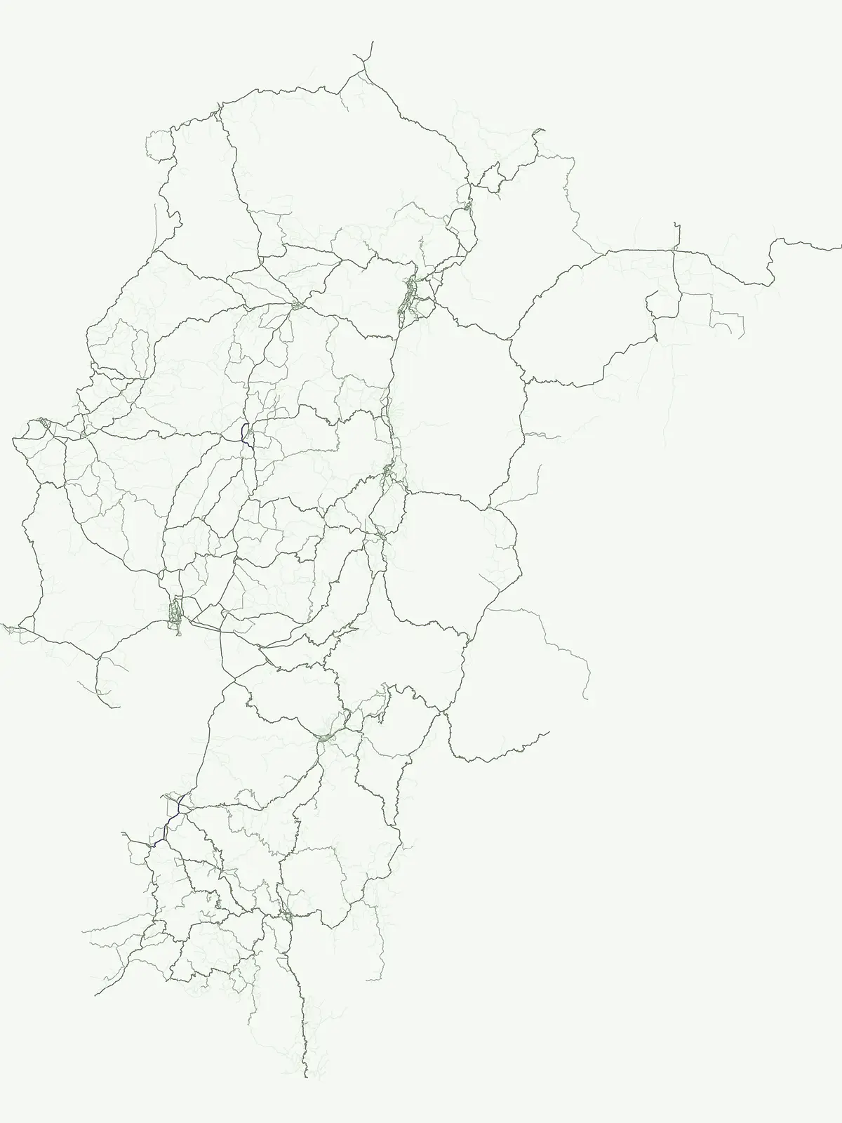
A geographic index of diverse terrain types, waterways, and peaks in Ecuadorian reserves
Named Natural Features and Landmarks Across Ecuador's Protected Areas
Regional geography and hydrological landscape context
Rivers
Examine a structured collection of named river systems and natural watercourses found within the protected borders of Ecuador. This database tracks major water channels, including tributaries and seasonal reaches, providing essential geographic context for the nation's diverse hydrological landscapes and mountain-fed basins.
Mapping volcanic features within protected landscapes
Volcanoes
Explore a database of volcano landforms and volcanic centers identified within the protected areas of Ecuador. This resource focuses on the geological structure, form, and regional distribution of these features, providing a structured look at the volcanic terrain that characterizes many of the country's preserved natural landscapes.
Continue Exploring Ecuador's National Park Geography and Protected Landscapes
To deepen your understanding of Ecuador's natural heritage, continue exploring the mapped atlas of its national parks and protected areas. Examine the geographic spread, regional context, and natural terrain of individual conservation zones. MoriAtlas provides structured data to support your discovery of the country's diverse protected landscapes and their relation to broader geographic patterns.