
Mori Atlas logo
Country designation

Explore regionally managed protected lands that define local geography and natural heritage

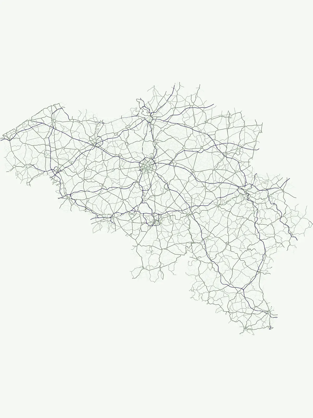
Regional Parks and Protected Natural Areas Across the Landscapes of Belgium

Regional parks in Belgium function as essential frameworks for local landscape protection and administrative land management. This atlas documents these protected areas, highlighting how they serve as regional markers within the diverse terrain of the country. These designations group natural sites that reflect specific local ecosystems and regional identity, offering a focused perspective on the geography of Belgian conservation.

Regional Parks and Protected Natural Areas Across the Landscapes of Belgium

Discover local protected areas and regional nature parks across Belgian landscapes.

Regional Parks in Belgium: Mapped Protected Areas and Local Landscapes

Regional parks in Belgium safeguard working countrysides, river valleys, and forested plateaus across Wallonia and the Low Countries. Browsing these designated natural areas reveals how local conservation frameworks protect rural villages and wildlife habitats.

Regional park
Mapped parks2
Share of country parks15%
Largest mapped parkParc naturel Haute-Sûre Forêt d'Anlier833 km²
Parks in this designationTrace the geographical distribution of regional nature parks across the country2
See all parks

Regional Parks in Belgium: Mapped Protected Areas and Local Landscapes

Browse registered regional parks in Belgium to examine protected river valleys and forested highlands. Compare local conservation landscapes and natural heritage across administrative boundaries.

Regional parkProvince de Liège

Parc naturel des Vallées de la Burdinale et de la Mehaigne

River valleys and agricultural heritage in Province de Liège

This regional park protects a distinct landscape defined by the confluence of the Mehaigne and Burdinale rivers within the Hesbaye region. The territory encompasses a mosaic of traditional rural settlements, valley habitats, and cultivated plateaus, providing a clear example of balanced land conservation and agricultural continuity in Belgium.

110 km²1991TemperateAccess unknown
Regional parkProvince de Luxembourg

Parc naturel Haute-Sûre Forêt d'Anlier

Geography and mapped river basins of the Belgian Ardennes

Covering over 800 square kilometers, this regional park protects the significant deciduous woodlands of the Anlier massif and the Sûre river valleys. Analyze the geographic scope of this Natura 2000 protected area, tracing its upland terrain and dense riparian networks across the municipalities of the Belgian Ardennes.

833 km²2001Major water bodies
More designation routesCompare regional parks with national reserves and protected landscapes across Belgium4

Explore Other Protected Area Designations and Park Types in Belgium

Evaluate adjacent designation families to understand the full scope of protected natural terrain throughout Belgium. Comparing distinct administrative categories reveals how national parks, reserves, and regional landscapes share the country.

Explore the single protected landscape mapped in Belgium's atlas.

Protected landscape

46%

This page offers a focused view of protected landscapes within Belgium, highlighting areas where conservation is intrinsically linked to scenic beauty and long-term land stewardship. Understand the geographic context and mapped boundaries of these significant conservation territories, complementing the country's broader park network and showcasing regionally distinctive natural and cultural settings preserved through dedicated land management practices.

Share of country parks46%
6Mapped parksBelgium Protected Landscapes Atlas
Belgium Protected Landscapes Atlas

Explore Belgium's nationally recognized protected areas and park geography.

National park

15%

Delve into the specifics of Belgium's national parks, understanding their geographic placement and protected area significance. This resource provides an atlas-centric view for discovering these key natural landscapes, complementing the broader protected lands within the country. Examine the distribution and context of Belgium's flagship national park sites.

Share of country parks15%
2Mapped parksBelgium National Park Atlas
Belgium National Park Atlas

Explore mapped protected areas and conservation sites within Belgium's atlas.

Protected area

15%

This MoriAtlas destination presents Belgium's protected areas, a general classification for conserved natural sites that don't fit into sharper, more specific park definitions. It serves as a flexible country index, highlighting the broad scope of protected landscapes and conservation efforts. Users can explore the geographic distribution of these vital areas within Belgium's regional context, uncovering natural terrain important for conservation.

Share of country parks15%
2Mapped parksBelgium Protected Areas
Belgium Protected Areas

Explore protected nature reserves and their ecological significance in Belgium.

Nature reserve

8%

Discover Belgium's protected nature reserves, areas dedicated to the meticulous conservation of ecosystems, habitats, and species. This country-specific atlas view focuses on reserves that are crucial for biodiversity, offering a detailed look at their geographic placement and conservation purpose within the broader framework of protected lands in Belgium. It serves as a focused gateway for understanding these vital natural havens.

Share of country parks8%
1Mapped parkBelgium Nature Reserve Atlas
Belgium Nature Reserve Atlas
MoriAtlas Explorer

Continue Exploring Belgium's Protected Landscapes and National Park Geography

Deepen your understanding of Belgium's natural heritage by exploring its national parks and protected areas in detail. Our platform provides the geographic context and mapped information necessary to appreciate the full scope of conservation efforts across the country, paving the way for focused discovery of individual park features and regional park distribution.