
Understand Ecuador's conservation map through classification categories and navigate into protected area details.
Ecuador's Protected Area Designations: Browse National Parks and Conservation Landscapes
Discover how Ecuador organizes its significant natural areas by exploring the country's represented park designation groups. This route offers a structured overview of its national parks and other conservation landscapes, allowing you to understand the classification logic and delve into the specific geography and context of each designation type represented within Ecuador. Begin your mapped exploration of this biodiverse South American nation by understanding its protected area framework.
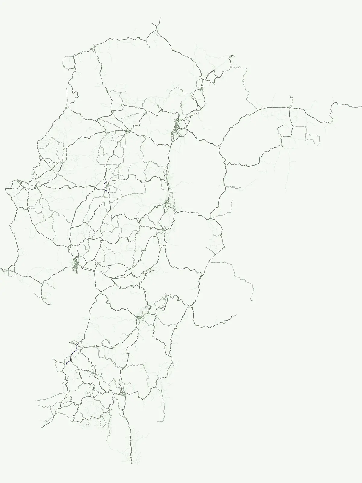
Explore the structure of Ecuador's park geography through official protected area categories, spanning Andean peaks to the Galápagos.
Browse Ecuador's Protected Areas: National Park Designations and Reserve Types
Discover the diverse park designations across Ecuador, revealing its rich protected-area network from the Amazon rainforest to volcanic Galápagos Islands. Tracing these official categories helps you understand the country's unique conservation landscapes and regional spread.
- Represented designations
- 6
- Mapped parks
- 44
Leading designation
National park
Ecuador's National Park System: Unpacking Its Core Protected Area Designations
Ecuador's protected area system is predominantly shaped by its comprehensive network of national parks, which serve as the cornerstone of conservation across its varied geography. These flagship designations protect critical ecosystems spanning the biodiverse Andean regions, the Amazon basin, and the iconic Galápagos Islands, illustrating a clear focus on large-scale natural heritage preservation.
Explore the atlas of Ecuador's 10 designated national parks.
National park
This country-specific atlas entry focuses on Ecuador's National Parks, a designation representing nationally significant protected areas vital for conservation. Discover the geographic distribution and mapped boundaries of these key landscapes, providing essential context for understanding Ecuador's protected-area identity and natural terrain.
Mapped conservation zones and protected natural areas
Nature reserve
Access a structured view of nature reserves in Ecuador, focusing on the conservation of sensitive ecosystems and diverse biological habitats. Use this mapped overview to analyze protected landscapes, identify regional concentrations, and understand the role of these specific areas in maintaining the national environmental framework.
An atlas of conservation zones and habitat protection.
Wildlife reserve
Gain insight into Ecuador's approach to wildlife conservation through this geographic index of reserves. These protected areas cover diverse terrain, from coastal mangroves to high Andean ecosystems, providing critical continuity for wild animal populations and indigenous flora.
Regional index of protected natural areas in Ecuador.
Protected area
Explore the collection of protected areas across Ecuador, featuring a variety of conservation sites and reserves. This atlas focuses on mapping these essential lands to support a broader understanding of protected natural terrain within the country.
Coastal conservation geography and aquatic site mapping
Marine protected area
Examine the network of marine protected areas throughout Ecuador. This resource maps the distribution of coastal reserves, mangrove systems, and ocean-linked habitats, providing a clear geographic view of the country's commitment to aquatic ecosystem conservation.
Managed ecological stewardship and protected landscape zones
Biosphere reserve
Examine the designated Biosphere reserve regions in Ecuador, highlighting areas defined by long-term ecological research and sustainable land coordination. This atlas view provides context for protected landscapes where human activity and conservation coexist within a unified management framework.
Continue Exploring Ecuador's National Park Geography and Protected Landscapes
To deepen your understanding of Ecuador's natural heritage, continue exploring the mapped atlas of its national parks and protected areas. Examine the geographic spread, regional context, and natural terrain of individual conservation zones. MoriAtlas provides structured data to support your discovery of the country's diverse protected landscapes and their relation to broader geographic patterns.