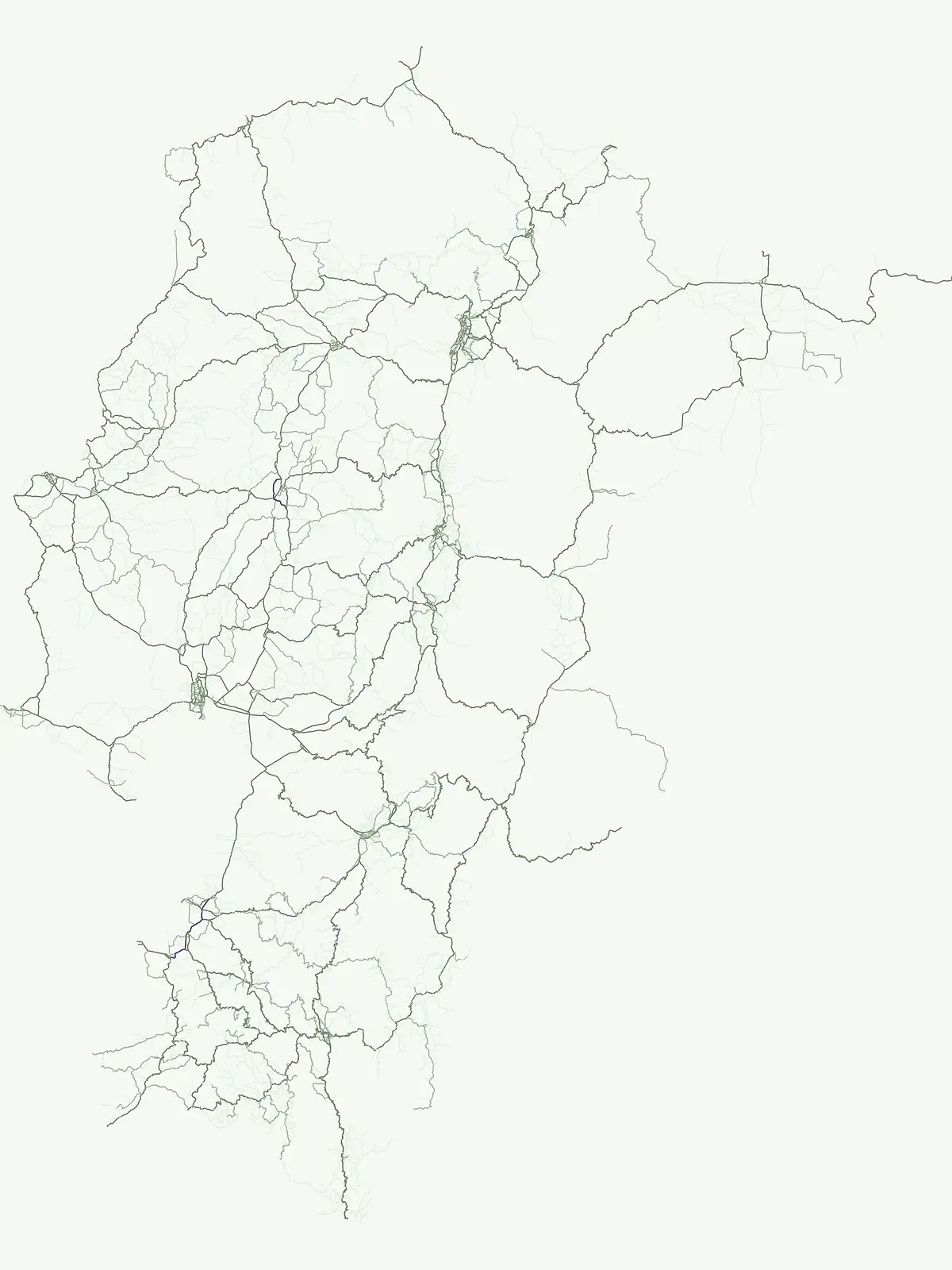
Examining the ecological distribution and geographic reach of protected nature reserves across Ecuadorian landscapes.
Nature Reserves in Ecuador: A Curated Atlas of Protected Conservation Areas and Habitats
Nature reserves in Ecuador function as critical pillars for the preservation of ecosystems, sensitive habitats, and endemic species. These protected areas provide essential biological refuge across diverse terrain, ranging from coastal mangroves to high-altitude Andean cloud forests. This atlas surface facilitates the study of designated conservation lands, enabling a clearer understanding of how specific zones are managed to protect regional ecological integrity and habitat stability.
Nature Reserve Protected Areas in Ecuador: Mapped Country Park List
Explore the complete inventory of designated nature reserves spanning coastal mangroves, Andean cloud forests, and highland paramo habitats. Comparing these protected areas reveals the geographic distribution and ecological scope of conservation zones throughout the country.
Nature reserveCarchi ProvinceMountain
Reserva ecológica El Ángel
Exploring páramo ecosystems in Carchi Province, Ecuador
Reserva ecológica El Ángel is a crucial conservation area in the northern Andes, defined by its high-altitude páramo, volcanic geology, and extensive wetland network. It serves as a vital hydrological heart for Carchi Province, supporting diverse highland vegetation including dense stands of giant frailejón and ancient Polylepis forests across a dramatic, glacially-sculpted terrain.
A distinct geobotanical reserve in the Pichincha region of the Ecuadorian Andes.
Reserva Geobotánica Pululahua is a protected natural area centered on a massive, 12-kilometer-wide volcanic caldera. Its landscape features three prominent lava domes and a rare altitudinal gradient of vegetation, spanning from semi-dry mountain shrubland to dense cloud forest. This reserve serves as a critical study of volcanic geology and human-landscape interaction in the high Andes, offering a concentrated look at Ecuador's vertical ecological zonation.
An ecological mosaic of mangrove forests, estuaries, and forested ridges.
Spanning from the inner Gulf of Guayaquil into the Churute hill range, Reserva ecológica Manglares Churute acts as an essential protected area within Ecuador. The region contains one of the country's most significant mangrove complexes, complemented by freshwater lagoons and unique fog-affected forest summits that support diverse wildlife populations and endemic vegetation.
A vast estuarine and mangrove refuge in the Esmeraldas province of Ecuador.
The Reserva ecológica Manglares Cayapas-Mataje spans over 49,000 hectares of diverse coastal terrain, including tidal estuaries, guandales, and tropical lowland forests. As a Ramsar-recognized wetland, this reserve preserves critical connectivity between riverine basins and the Pacific Ocean, acting as a vital geographic anchor for Chocó endemic species and complex aquatic habitats within the Esmeraldas region.
Mapping the biodiversity of Esmeraldas provincial wilderness
Spanning over 119,000 hectares, Reserva Ecológica Mache-Chindul stands as a primary ecological shield against landscape degradation in coastal Ecuador. This site preserves rare mature forest mosaics, from dense Chocó lowland rainforest to misty high-altitude ridges. Gain geographic insight into this vital wilderness area through its distinct watershed basins and protected forest corridors.
Volcanic terrain and cloud forest ecosystems in central Ecuador
Spanning across the provinces of Cotopaxi, Pichincha, and Santo Domingo de los Tsáchilas, Reserva Ecológica Los Illinizas preserves a significant vertical gradient of Andean ecosystems. The reserve protects the western flanks of the Illiniza volcanoes, Quilotoa, and El Corazón, offering a detailed look at high-altitude biodiversity and the transition from rugged mountain peaks to lush western cloud forests.
Vertical gradient and mountain forest geography in Zamora Chinchipe
Spanning elevations from 840 to 3,120 meters, Reserva Biológica Cerro Plateado represents a significant conservation effort within the Zamora Chinchipe province. The reserve preserves intact montane cloud forests and paramo, serving as a vital link between the eastern Andean slopes and the Nangaritza watershed in southeastern Ecuador.
Indigenous-led conservation in the Sucumbíos river headwaters.
Reserva Ecológica Cofán-Bermejo encompasses a remarkable altitudinal range from 400 to 2,200 meters, protecting intact river basins and transitional ecosystems. This nature reserve offers deep insight into the convergence of Amazonian and Andean flora, functioning as a vital refuge for threatened megafauna and rare bird populations within an indigenous-managed territory.
A rugged nature reserve defined by complex metamorphic and volcanic mountain terrain.
Reserva biologica El Quimi guards the headwaters of the Quimi River along a strategically positioned watershed divide. Located in the province of Morona Santiago, this reserve features steep forested slopes and high plateau edges. Its varied geological foundation contributes to the broader regional ecological network, serving as a sanctuary for diverse mammal species including the Andean bear and jaguar.
Protected dry forest habitat and regional geographic terrain
Bosque Protector La Prosperina represents a critical survival of Ecuador's equatorial dry forest within the Guayas province. This nature reserve offers deep insight into seasonal ravine networks, drought-adapted vegetation, and the structural dynamics of fragmented coastal landscapes near Guayaquil.
More designation routesExplore national parks, wildlife reserves, and diverse conservation frameworks across the country5
Compare Other Protected Area Designations and Park Types in Ecuador
Browsing alternative protected area types in Ecuador reveals how strict conservation mandates differ from general national park frameworks. Comparing these regional designation groups highlights the broader legal structures shaping national biodiversity management.
Explore the atlas of Ecuador's 10 designated national parks.
National park
33%
This country-specific atlas entry focuses on Ecuador's National Parks, a designation representing nationally significant protected areas vital for conservation. Discover the geographic distribution and mapped boundaries of these key landscapes, providing essential context for understanding Ecuador's protected-area identity and natural terrain.
An atlas of conservation zones and habitat protection.
Wildlife reserve
26%
Gain insight into Ecuador's approach to wildlife conservation through this geographic index of reserves. These protected areas cover diverse terrain, from coastal mangroves to high Andean ecosystems, providing critical continuity for wild animal populations and indigenous flora.
Regional index of protected natural areas in Ecuador.
Protected area
9%
Explore the collection of protected areas across Ecuador, featuring a variety of conservation sites and reserves. This atlas focuses on mapping these essential lands to support a broader understanding of protected natural terrain within the country.
Coastal conservation geography and aquatic site mapping
Marine protected area
5%
Examine the network of marine protected areas throughout Ecuador. This resource maps the distribution of coastal reserves, mangrove systems, and ocean-linked habitats, providing a clear geographic view of the country's commitment to aquatic ecosystem conservation.
Managed ecological stewardship and protected landscape zones
Biosphere reserve
2%
Examine the designated Biosphere reserve regions in Ecuador, highlighting areas defined by long-term ecological research and sustainable land coordination. This atlas view provides context for protected landscapes where human activity and conservation coexist within a unified management framework.