
Mori Atlas logo
Country designation

Mapping the distribution of essential habitat reserves across diverse Ecuadorian ecosystems.

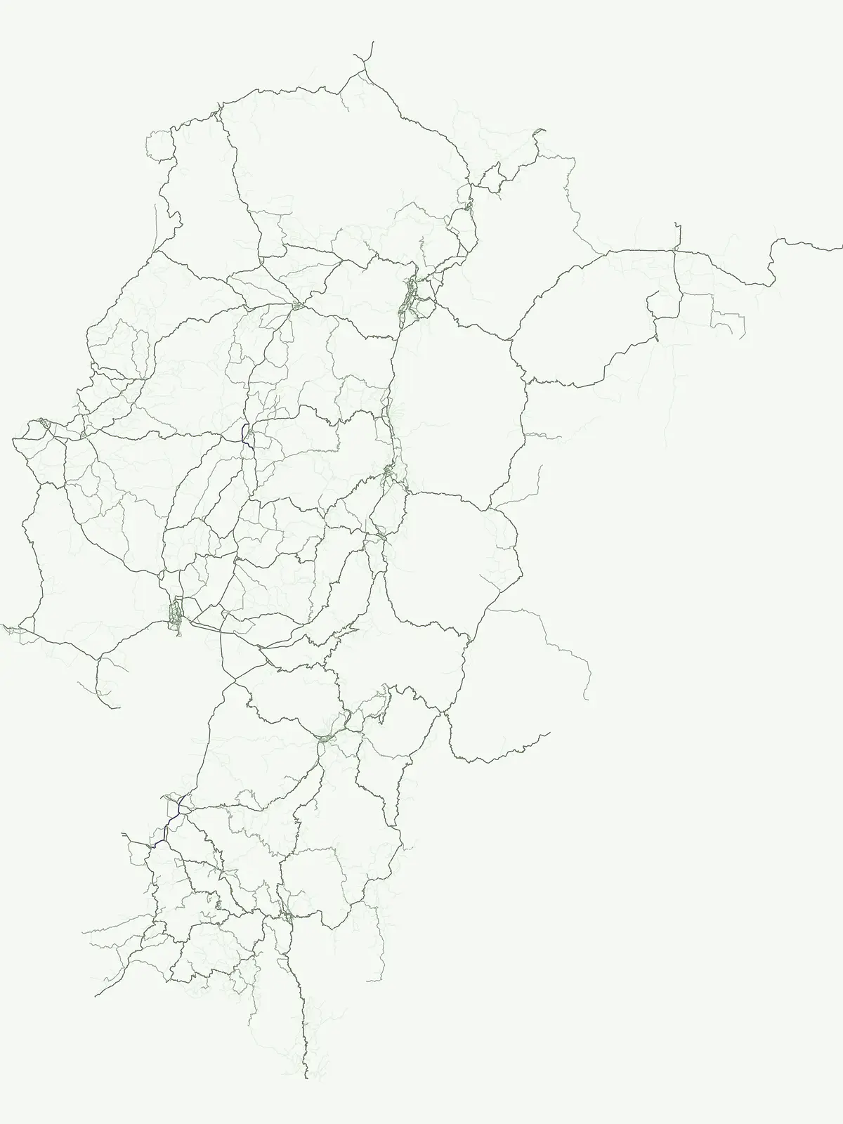
Wildlife Reserves and Protected Animal Conservation Areas Throughout Ecuador Geography

Ecuador maintains a diverse network of wildlife reserves dedicated to the preservation of essential animal habitats and the maintenance of regional ecological integrity. This atlas view identifies significant protected areas that function as crucial corridors for native species across the Andes, coastal estuaries, and the Amazon basin. Explore these designated zones to understand their role in landscape conservation and the geographic distribution of protected lands throughout the country.

Wildlife Reserves and Protected Animal Conservation Areas Throughout Ecuador Geography

Mapping wildlife reserves across coastal mangroves, high Andean peaks, and Amazon river basins

Wildlife Reserve in Ecuador: Protected Habitats and Animal Conservation Areas

Each wildlife reserve in Ecuador safeguards crucial animal populations and breeding habitats spanning diverse regional ecosystems. Examining these protected areas reveals vital ecological corridors connecting coastal wetlands with high altitude mountain terrain.

Wildlife reserve
Mapped parks11
Share of country parks25%
Largest mapped parkReserva de Producción de Fauna Cuyabeno5,901.12 km²
Parks in this designationBrowse animal conservation areas spanning coastal estuaries, Andean peaks, and Amazon basins.10 / 11
See all parks

Wildlife Reserve Parks in Ecuador: Mapped Protected Areas and Habitats

Explore wildlife reserves across Ecuador to examine dedicated habitat protection zones, coastal wetlands, and high-altitude sanctuaries. Reviewing these protected areas provides a clear geographic comparison of regional conservation corridors and ecological reserves.

Wildlife reserveSucumbíos

Reserva de Producción de Fauna Cuyabeno

Explore protected boundaries and flooded landscape patterns in Sucumbíos

Reserva de Producción de Fauna Cuyabeno serves as a benchmark for Amazonian conservation, characterized by its extraordinary hydrological dynamics. The landscape comprises a network of blackwater rivers and semi-permanent lagoons that sustain an immense variety of species. As a protected area within Sucumbíos, it showcases the intricate relationship between seasonally submerged forests, terra firme terrain, and the vital river arteries that define this region.

5,901.12 km²1979TropicalModerate access
Wildlife reserveSucumbíos

Reserva Biológica Limoncocha

A vital Amazonian wildlife reserve in the Sucumbíos province.

Reserva Biológica Limoncocha is a distinctive wetland reserve defined by its intricate system of lagoons, rivers, and seasonal floodplains. Its geography provides a rare look at Amazonian biodiversity, ranging from elevated forest plateaus to permanently inundated palm swamps and vital black caiman habitats.

46.13 km²1985TropicalVI
Wildlife reserveGuayasMarine

Refugio de Vida Silvestre Manglares El Morro

A strategic marine and mangrove ecosystem in the Guayas Province

The landscape of Refugio de Vida Silvestre Manglares El Morro consists of continuous mangrove forests and rocky farallones, linked by a complex network of tidal channels. This wildlife refuge serves as an essential marine habitat at the threshold of the Gulf of Guayaquil, showcasing the interplay between tidal aquatic systems and coastal vegetation across the southwestern Ecuadorian region.

101.3 km²2007Access unknownIb
Wildlife reserveChimborazoMountain

Reserva de Producción de Fauna Chimborazo

High-altitude watershed and páramo geography in central Ecuador.

Spanning from glacial summits to arid puna plains, the Reserva de Producción de Fauna Chimborazo represents a complex Andean ecosystem. This wildlife reserve protects vital watersheds, glacial meltwater sources, and native camelid habitats within the shadows of Ecuador's tallest peaks, offering a detailed look at high-altitude conservation and volcanic terrain.

526.83 km²1987AlpineModerate access
Wildlife reservePichinchaMountain

Refugio de Vida Silvestre Pasochoa

Geographic atlas of the Pichincha volcanic highlands

Located in the Pichincha province, Refugio de Vida Silvestre Pasochoa protects an essential highland habitat defined by its steep volcanic crater walls and dense bamboo stands. This area provides a scientific reference for inter-Andean vegetation, featuring a sharp contrast between forested inner slopes and surrounding agricultural landscapes. Map the ecological gradient of this protected refuge and explore its role within the broader northern Andean geographic context.

9.799 km²1996AlpineIb
Wildlife reserveManabíMarine

Refugio de Vida Silvestre Marino Costera Pacoche

Coastal and forest protected landscapes in Manabí, Ecuador

Examine the unique geographic structure of Refugio de Vida Silvestre Marino Costera Pacoche, a protected reserve bridging the Tumbesian dry forest and the Pacific Ocean. This atlas entry focuses on the park's coastal cliffs, sediment-rich marine zones, and forest ridges, providing a clear visual and descriptive record of this ecologically significant Manabí sanctuary.

2008AridAccess unknownV
Wildlife reserveSanta ElenaMarine

Reserva de Producción de Fauna Marino Costero Puntilla Santa Elena

Coastal marine geography and Pacific wildlife habitat exploration.

Investigate the marine-coastal expanse of the Reserva de Producción de Fauna Marino Costero Puntilla Santa Elena. This protected area encompasses diverse Pacific habitats, from arid shoreline vegetation to vast ocean sectors, serving as a critical environment for marine mammal migration and conservation in Santa Elena.

524.34 km²AridEasy accessWater-dominated
Wildlife reserveGuayasMarine

Reserva de producción de fauna Manglares El Salado

A mangrove-dominated wildlife reserve in Guayas, Ecuador.

Analyze the protected landscape of Reserva de producción de fauna Manglares El Salado, which spans extensive mangrove forests and estuarine waters within the Guayas province. This wildlife reserve showcases a unique transition between intertidal mangrove zones, salt flats, and remnants of tropical dry forest, providing essential habitat context for the Gulf of Guayaquil coastal region.

53.09 km²2002TropicalEasy access
Wildlife reserveEsmeraldasMarine

Refugio de Vida Silvestre Manglares Estuario Río Muisne

Esmeraldas, Ecuador protected estuarine landscape

Discover the complex geography of Refugio de Vida Silvestre Manglares Estuario Río Muisne, a vital wildlife refuge protecting all six native mangrove species. This area spans a rich transition of marine and brackish waters, tidal flats, and forest stands that define the northwestern Pacific coastline of Ecuador.

922.46 km²2003Access unknownWater-dominated
Wildlife reserveZamora ChinchipeMountain

Refugio de vida silvestre El Zarza

Andean-Amazonian transition and sandstone tepuy habitats

Refugio de vida silvestre El Zarza serves as a critical conservation zone where the volcanic and metamorphic rocks of the Andes meet the sandstone formations of the Amazonian fringe. Explore the varied morphology of this wildlife refuge, which encompasses rounded ridges, steep river canyons, and pale, stratified farallones that define the eastern sector of the Cordillera del Condor.

36.96 km²2006TropicalAccess unknown
See all parksSearch all Wildlife reserve parks and protected areas in Ecuador
More designation routesExamine adjacent conservation categories across the national park network.5

Compare Other Park Designations and Protected Area Types in Ecuador

Compare wildlife reserves with national parks, nature reserves, and marine protected areas within Ecuador to evaluate regional conservation coverage. Broaden your understanding of national park classifications by examining how different legal frameworks protect local habitats.

Explore the atlas of Ecuador's 10 designated national parks.

National park

34%

This country-specific atlas entry focuses on Ecuador's National Parks, a designation representing nationally significant protected areas vital for conservation. Discover the geographic distribution and mapped boundaries of these key landscapes, providing essential context for understanding Ecuador's protected-area identity and natural terrain.

Share of country parks34%
15Mapped parksEcuador National Parks Atlas
Ecuador National Parks Atlas

Mapped conservation zones and protected natural areas

Nature reserve

25%

Access a structured view of nature reserves in Ecuador, focusing on the conservation of sensitive ecosystems and diverse biological habitats. Use this mapped overview to analyze protected landscapes, identify regional concentrations, and understand the role of these specific areas in maintaining the national environmental framework.

Share of country parks25%
11Mapped parksEcuador Nature Reserves Atlas
Ecuador Nature Reserves Atlas

Regional index of protected natural areas in Ecuador.

Protected area

9%

Explore the collection of protected areas across Ecuador, featuring a variety of conservation sites and reserves. This atlas focuses on mapping these essential lands to support a broader understanding of protected natural terrain within the country.

Share of country parks9%
4Mapped parksEcuador Protected Areas
Ecuador Protected Areas

Coastal conservation geography and aquatic site mapping

Marine protected area

5%

Examine the network of marine protected areas throughout Ecuador. This resource maps the distribution of coastal reserves, mangrove systems, and ocean-linked habitats, providing a clear geographic view of the country's commitment to aquatic ecosystem conservation.

Share of country parks5%
2Mapped parksMarine Protected Areas in Ecuador
Marine Protected Areas in Ecuador

Managed ecological stewardship and protected landscape zones

Biosphere reserve

2%

Examine the designated Biosphere reserve regions in Ecuador, highlighting areas defined by long-term ecological research and sustainable land coordination. This atlas view provides context for protected landscapes where human activity and conservation coexist within a unified management framework.

Share of country parks2%
1Mapped parkEcuador Biosphere Reserve Areas
Ecuador Biosphere Reserve Areas
MoriAtlas Explorer

Continue Exploring Ecuador's National Park Geography and Protected Landscapes

To deepen your understanding of Ecuador's natural heritage, continue exploring the mapped atlas of its national parks and protected areas. Examine the geographic spread, regional context, and natural terrain of individual conservation zones. MoriAtlas provides structured data to support your discovery of the country's diverse protected landscapes and their relation to broader geographic patterns.