
Mori Atlas logo
Country designation

Mapping the large-area conservation systems and sustainable land management territories in Ecuador

Biosphere Reserve Landscapes and Ecological Stewardship Regions Across Ecuador

Discover the complex geography of Biosphere reserve zones within Ecuador, focusing on the strategic coordination of protected territories. These areas represent integrated models for ecological stewardship, supporting vital research and sustainable landscape management across distinct environmental corridors. Explore how these designated regions organize core natural areas and surrounding zones to maintain ecological integrity within the broader Ecuadorian landscape.

Biosphere Reserve Landscapes and Ecological Stewardship Regions Across Ecuador

Navigating sustainable conservation regions across Andean and tropical ecosystems

Ecuador Biosphere Reserve Protected Areas and Ecological Landscapes

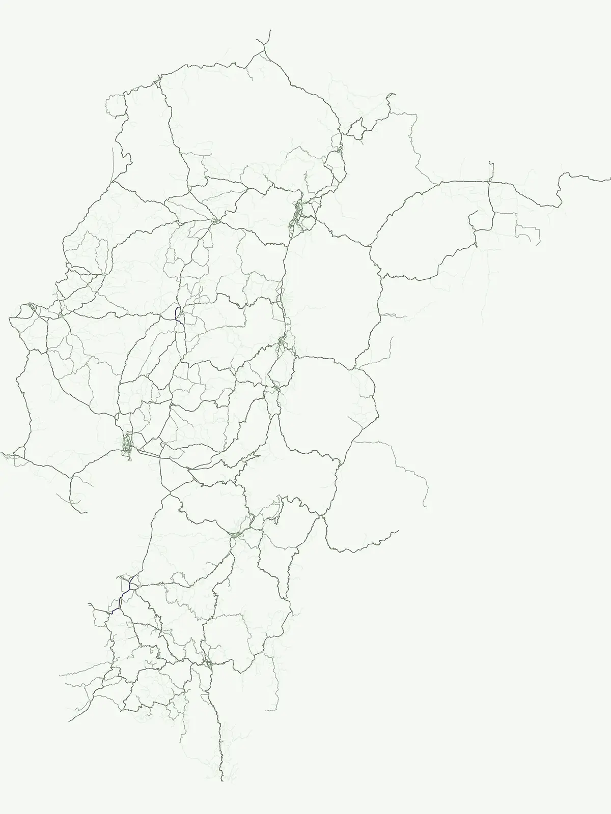
Biosphere reserves in Ecuador represent strategic conservation territories dedicated to ecological stewardship, scientific research, and sustainable resource management across complex natural corridors. These protected landscapes bridge core wilderness zones with surrounding human territories, establishing integrated models for long-term environmental preservation.

Biosphere reserve
Mapped park1
Share of country parks2%
Largest mapped parkReserva Biológica Colonso-Chalupas931.63 km²
Parks in this designationTrace protected ecological corridors and managed biological reserves across the country1
See all parks

Ecuador Biosphere Reserve Parks and Mapped Conservation Territories

Browse the complete park inventory for biosphere reserves in Ecuador to examine managed biological zones and conservation corridors. Filtered regional records provide structural clarity for analyzing high-altitude watersheds and tropical forest reserves.

Biosphere reserveNapoMountain

Reserva Biológica Colonso-Chalupas

A critical vertical corridor of the Ecuadorian Andes and Amazon.

Reserva Biológica Colonso-Chalupas represents a unique bioclimatic transition, stretching nearly 4,000 meters in elevation. This biosphere reserve serves as a functional corridor connecting high-altitude páramo and cloud forests to warm, humid Amazonian lowlands, forming a key structural element of the eastern Andean conservation landscape.

931.63 km²2014AlpineMajor water bodies
More designation routesExplore national parks, nature reserves, and wildlife areas in Ecuador5

Compare Ecuador Designations Across Other Protected Area Types

Compare other protected area types in Ecuador to understand the full scope of national parks, wildlife reserves, and nature areas. Analyzing alternative conservation pathways reveals how different regional designations structure the country's protected landscapes.

Explore the atlas of Ecuador's 10 designated national parks.

National park

34%

This country-specific atlas entry focuses on Ecuador's National Parks, a designation representing nationally significant protected areas vital for conservation. Discover the geographic distribution and mapped boundaries of these key landscapes, providing essential context for understanding Ecuador's protected-area identity and natural terrain.

Share of country parks34%
15Mapped parksEcuador National Parks Atlas
Ecuador National Parks Atlas

Mapped conservation zones and protected natural areas

Nature reserve

25%

Access a structured view of nature reserves in Ecuador, focusing on the conservation of sensitive ecosystems and diverse biological habitats. Use this mapped overview to analyze protected landscapes, identify regional concentrations, and understand the role of these specific areas in maintaining the national environmental framework.

Share of country parks25%
11Mapped parksEcuador Nature Reserves Atlas
Ecuador Nature Reserves Atlas

An atlas of conservation zones and habitat protection.

Wildlife reserve

25%

Gain insight into Ecuador's approach to wildlife conservation through this geographic index of reserves. These protected areas cover diverse terrain, from coastal mangroves to high Andean ecosystems, providing critical continuity for wild animal populations and indigenous flora.

Share of country parks25%
11Mapped parksEcuador Wildlife Reserves
Ecuador Wildlife Reserves

Regional index of protected natural areas in Ecuador.

Protected area

9%

Explore the collection of protected areas across Ecuador, featuring a variety of conservation sites and reserves. This atlas focuses on mapping these essential lands to support a broader understanding of protected natural terrain within the country.

Share of country parks9%
4Mapped parksEcuador Protected Areas
Ecuador Protected Areas

Coastal conservation geography and aquatic site mapping

Marine protected area

5%

Examine the network of marine protected areas throughout Ecuador. This resource maps the distribution of coastal reserves, mangrove systems, and ocean-linked habitats, providing a clear geographic view of the country's commitment to aquatic ecosystem conservation.

Share of country parks5%
2Mapped parksMarine Protected Areas in Ecuador
Marine Protected Areas in Ecuador
MoriAtlas Explorer

Continue Exploring Ecuador's National Park Geography and Protected Landscapes

To deepen your understanding of Ecuador's natural heritage, continue exploring the mapped atlas of its national parks and protected areas. Examine the geographic spread, regional context, and natural terrain of individual conservation zones. MoriAtlas provides structured data to support your discovery of the country's diverse protected landscapes and their relation to broader geographic patterns.