

Mori Atlas logo
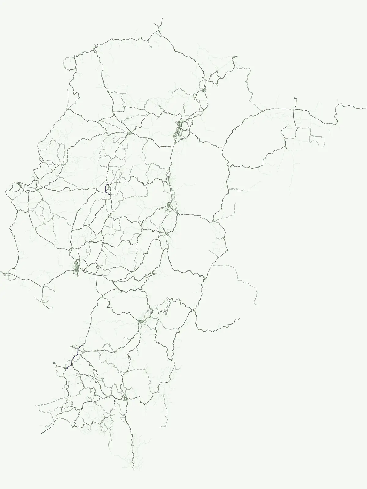
Country park map

Trace the geographic spread and spatial positioning of Ecuador's protected lands across its diverse landscapes.

Ecuador National Parks Map: Discover Mapped Protected Areas and Regional Geography

Venture into the mapped geography of Ecuador, where you can visually explore the distribution and positioning of all national parks and protected areas. This atlas-view helps you understand the regional spread of conservation landscapes, compare park locations across the country's varied terrain, and grasp the geographic context of protected natural areas throughout Ecuador.

Ecuador National Parks Map: Discover Mapped Protected Areas and Regional Geography

Ecuador National Parks and Protected Areas Map: Geographic Distribution Explorer

Mapped protected landscapes and park locations across Ecuador.

Discover the full geographic scope of Ecuador's protected natural areas through an interactive map. This route facilitates an understanding of how national parks and conservation lands are distributed across the nation's diverse regions, allowing for spatial comparison and insight into the country's unique geography and protected territory.

Interactive national park map

Explore matching national parks through clustered map points and detailed park profiles.

No parks match the active filters
Other countries

Compare national park geography across South American countries, tracing varied protected landscapes beyond Ecuador.

Discover National Parks in Countries Near Ecuador: Explore South American Protected Areas

After reviewing Ecuador's national parks, explore other South American countries to discover their distinct protected areas, Andean mountain ranges, and diverse coastal conservation landscapes. Continue your geographic atlas exploration to compare regional park systems, trace the spread of conservation, and plan broader protected area discovery throughout the continent.

Venezuela National Parks and Protected Areas: A Geographic Overview

Explore Venezuela through its network of national parks and protected areas. This section provides a structured view of the country's conserved natural landscapes, highlighting their geographic distribution and mapped boundaries. Understand how these protected areas contribute to the regional geography and offer diverse terrain for atlas-based discovery.

69 parks

Colombia National Parks and Protected Areas: Mapped Landscape Explorer

Navigate the diverse protected areas and national parks within Colombia using a structured geographic atlas. This resource highlights the mapped distribution of conservation lands, offering insights into the natural terrain and regional landscape context across the country. Understand where Colombia's key protected areas are located and their significance within the broader South American geography.

37 parks

Peru National Parks and Protected Areas: Browse the Geographic Atlas and Mapped Landscapes

Access a structured overview of Peru's national parks and protected areas, designed for geographic exploration and atlas-style discovery. Understand the distribution of conservation landscapes from the coast to the Amazon, examining their mapped boundaries and regional significance. This resource facilitates a deeper appreciation of Peru's natural terrain and its role in preserving biodiversity across diverse ecosystems.

34 parks

Costa Rica National Parks and Protected Areas: A Geographic Atlas

Access a structured atlas for exploring Costa Rica's national parks and protected natural areas. This platform offers detailed insights into the geographic scope of conservation efforts, highlighting park boundaries, regional terrain, and the distribution of diverse natural landscapes across the country. It serves as a vital tool for understanding the mapped protected geography of Central America.

30 parks

Panama National Parks and Protected Areas: Geographic Atlas and Map Explorer

Uncover the geographic richness of Panama through its national parks and protected areas. This atlas provides a structured way to view mapped protected landscapes, understand their regional context, and explore the natural terrain. Focus on the distribution and boundaries of conservation areas across the country, from watershed protection zones to tropical rainforests.

16 parks

Nicaragua National Parks and Protected Areas Atlas for Geographic Discovery

Navigate Nicaragua's protected natural areas with this geography-focused atlas. Users can explore the mapped boundaries of national parks and other conservation lands, gaining insight into their distribution across the country's diverse terrain. This resource facilitates a deeper understanding of Nicaragua's protected landscapes and their regional significance, serving as a structured point of entry for geographic research.

10 parks

Armenia National Parks and Protected Areas: Geographic Browse

Delve into Armenia's protected natural areas with a focus on geographic structure and mapped park boundaries. MoriAtlas offers a comprehensive view of the nation's protected lands, highlighting their regional context within the Armenian Highlands and South Caucasus geography. Understand the distribution of these vital conservation zones.

8 parks

Aruba National Parks and Protected Areas: A Comprehensive Geographic Atlas Entry

Access a structured inventory of protected lands across Aruba, including national parks and marine reserves. This resource highlights the geographic distribution, natural terrain characteristics, and park boundaries that define the island's conservation landscape, providing a clear reference for researchers and geographic enthusiasts alike.

2 parks
MoriAtlas Explorer

Continue Exploring Ecuador's National Park Geography and Protected Landscapes

To deepen your understanding of Ecuador's natural heritage, continue exploring the mapped atlas of its national parks and protected areas. Examine the geographic spread, regional context, and natural terrain of individual conservation zones. MoriAtlas provides structured data to support your discovery of the country's diverse protected landscapes and their relation to broader geographic patterns.





