

Mori Atlas logo
Country natural feature index

Examining the geographic distribution of coastal features across national park territories

Prominent Coastal Capes and Shoreline Projections within Protected Landscapes of Estonia

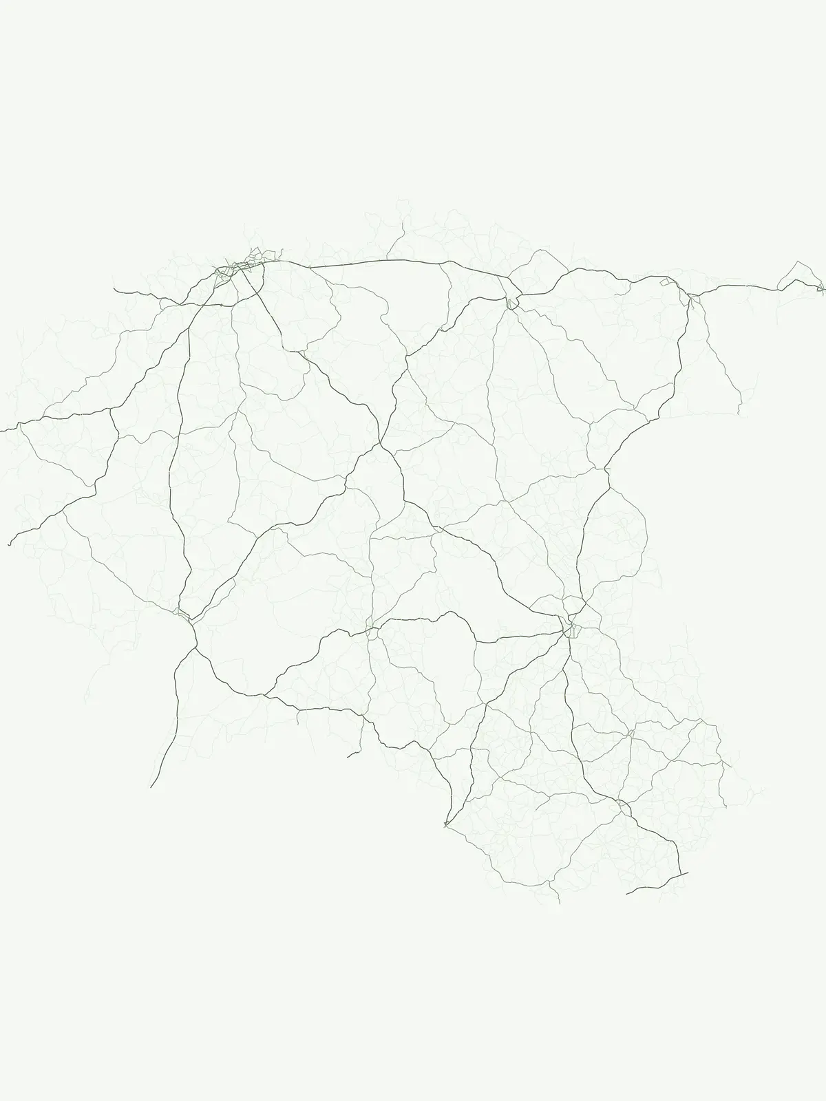
This collection maps the distribution of significant capes that define the coastal character of protected lands throughout Estonia. Each feature represents a distinct projection into the Baltic environment, providing insight into the physical structure of national landscapes. By tracing these shoreline patterns, one can analyze the relationship between coastal geology and the boundaries of designated conservation areas within the country.

Prominent Coastal Capes and Shoreline Projections within Protected Landscapes of Estonia

Trace cape geography, coastal projections, and shoreline boundaries in Baltic reserves of Estonia.

Browse and Map Prominent Cape Features in Estonia National Parks

National park catalogs in Estonia include several notable cape features that extend into Baltic waters and define the surrounding shoreline direction. Studying individual land projections across different reserves reveals the varied coastal geology of Northern Europe, helping observers compare shorelines shaped by sediment deposition and uplift.

No natural features found

Other countries

Expand your geographic understanding of protected areas across the Baltic region and Northern Europe.

Explore National Parks and Protected Areas in Countries Surrounding Estonia

After exploring Estonia's national parks, browse other country pages in the MoriAtlas to discover diverse protected areas and their unique geographic settings. This broader view allows for comparative analysis of conservation landscapes and regional park networks, enhancing your understanding of global protected terrain.
New Zealand

New Zealand Cape Atlas: Mapped Coastal Projections and Protected Natural Landscapes

Access a structured inventory of named capes in New Zealand. This data set traces the physical geometry of land projections extending into the Pacific and Tasman waters, offering insight into the coastal structure of the nation through the lens of protected natural areas.

4 features

Portugal

Portugal Coastal Atlas: A Geographic Mapping of Prominent Capes and Land Projections

Analyze the distribution of capes throughout Portugal as they extend into the Atlantic. This collection highlights the physical geometry of these landforms, focusing on their role in defining the country's shoreline character and providing context for regional protected landscapes.

4 features
Australia

Geographic Collection: Coastal Capes Located in Australian Protected Areas

Trace the coastal geography of Australia through a focused collection of capes situated in protected landscapes. This resource highlights land forms that extend into surrounding waters, mapping the interaction between shoreline geology and park boundaries across the country.

3 features
Japan

Japan

3 features
Greenland

Greenland Cape Geographic Inventory: Mapping Coastal Projections and Shoreline Features

Examine the distribution and physical characteristics of capes in Greenland, focusing on how these land forms alter shoreline direction and define coastal zones. This collection provides structural insights into significant projections extending into surrounding Arctic and Atlantic waters, offering a detailed perspective on the nation's rugged coastal terrain.

2 features
United States of America

Coastal Cape Geographic Features Within United States of America Protected Landscapes

Examine the distribution of capes that define portions of the United States of America coastline within various national parks. These geographic features reflect processes of sediment deposition and structural rock resistance, providing valuable context for understanding the mapped terrain and shoreline morphology within protected boundaries.

2 features
Algeria

Algeria Capes: A Geographic Index of Coastal Projections in Protected Land Areas

An index of named capes and coastal projections located within Algeria. This resource provides geographic data on landforms that extend into the Mediterranean, focusing on their role in shaping the regional shoreline and their presence within protected natural landscapes across the country.

1 feature
Chile

Coastal Cape Geography and Protected Land Projections in Chile

Explore the varied coastal anatomy of Chile through its prominent capes. This dataset provides a structured look at how these land projections define the boundary between terrestrial parks and vast water bodies, highlighting the geographic relationship between mountainous terrain and oceanic borders.

1 feature
Natural feature types

Broaden your geographic perspective by exploring diverse inland and coastal landforms across Estonia.

Geographic Diversity in Estonia: Exploring Other Natural Feature Types Beyond Capes

While coastal capes shape the Baltic shoreline, Estonia's protected areas preserve a rich variety of alternative physical, ecological, and hydrological features. Analyzing these distinct natural categories helps clarify how diverse inland terrains, aquatic systems, and geological formations shape the country's broader conservation landscape.

Geographic analysis of individual stone landmarks in Estonia.

Named stones

Trace individual named stone features and boulders located throughout the protected areas of Estonia. This collection categorizes discrete rock landmarks, providing a structured map-based reference for each natural object. Focus on the specific identity and position of these significant geological landmarks as they occur within the national park and protected landscape boundaries of the country.

7 features1 park
Estonia Named Stone Features

Exploring coastal enclosure across Estonian protected lands

Bays

This geographic dataset focuses on the spatial relationship between bays and protected areas in Estonia. Examine how these coastal features intersect with national park boundaries, providing a clear overview of shoreline morphology and its role in defining the natural character of the Estonian coast.

5 features2 parks
Estonia Bays and Protected Area Atlas

Islands

An island is a discrete area of land completely surrounded by water, occurring in oceans, lakes, rivers, wetlands, or reservoirs. Islands can originate through volcanism, tectonic uplift, erosion, sediment deposition, reef growth, glacial processes, or the isolation of former mainland terrain. The category spans very different scales and does not by itself establish remoteness, habitation, geology, or ecological uniqueness.

4 features1 park
Explore features
Explore features

Lakes

A lake is an inland body of standing water occupying a natural or substantially natural basin and supplied by precipitation, groundwater, streams, rivers, meltwater, or combinations of these sources. Lakes can form through tectonic, volcanic, glacial, karst, fluvial, coastal, or impact processes and may drain externally or remain closed. Size alone does not consistently separate lakes from ponds, so the established entity name should be respected.

4 features2 parks
Explore features
Explore features

Rivers

A river is a substantial natural watercourse that flows through a defined channel toward another river, lake, wetland, sea, or inland basin. Its system may include tributaries, distributaries, floodplains, seasonal reaches, gorges, waterfalls, and deltas far beyond any single mapped park relationship. The distinction from a stream depends on local convention, scale, and source usage rather than one universal rule.

1 feature1 park
Explore features
Explore features

Viewpoints

A viewpoint is a named observation location from which surrounding terrain, water, or other natural features can be seen and interpreted. Unlike the other categories, it identifies a place defined by its outlook rather than a landform or hydrological system in its own right. It may be entirely natural, lightly adapted, or supported by built infrastructure, but that distinction requires feature-specific evidence.

1 feature1 park
Explore features
Explore features
MoriAtlas Explorer

Continue Exploring the Geographic Natural Features of Estonia

Deepen your understanding of the Estonian landscape by examining specific natural features across its protected park system. MoriAtlas provides a structured path for identifying and mapping the diverse environmental formations that define this region geography and natural terrain context.

Global natural geography





