
Navigate geographic land and water formations across the national protected-area network
Comprehensive Atlas of Natural Features Within Protected Parks of Estonia
This geographic collection documents the diverse natural features associated with protected lands across Estonia. It provides a structured view of various terrain types found within national parks, allowing for a clearer understanding of how specific landscapes relate to the country broader regional geography. Each feature entry provides contextual data to support deeper mapping of the wilderness and protected environments found in this Baltic nation.
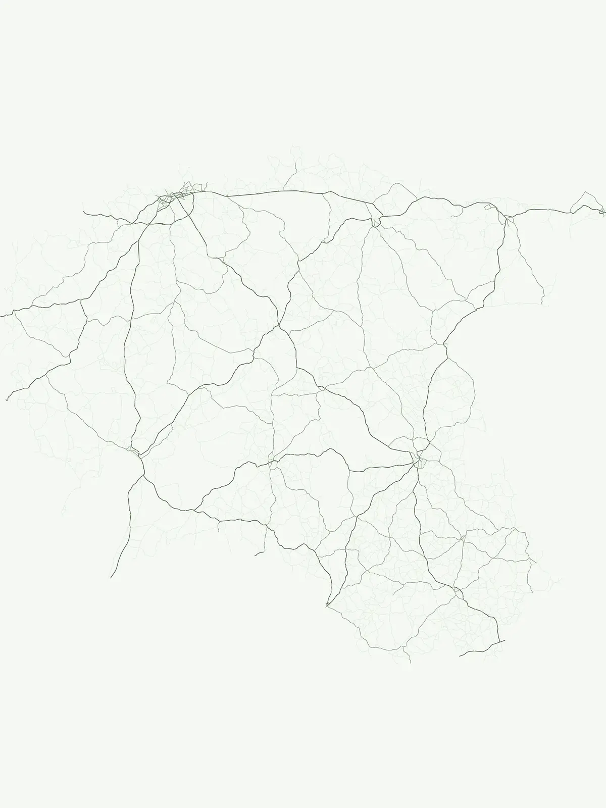
Trace Baltic landforms, wetland networks, and coastal formations mapped across regional parks
Named Natural Features and Geographic Landmarks in the Protected Areas of Estonia
Geographic analysis of individual stone landmarks in Estonia.
Named stones
Trace individual named stone features and boulders located throughout the protected areas of Estonia. This collection categorizes discrete rock landmarks, providing a structured map-based reference for each natural object. Focus on the specific identity and position of these significant geological landmarks as they occur within the national park and protected landscape boundaries of the country.
Exploring coastal enclosure across Estonian protected lands
Bays
This geographic dataset focuses on the spatial relationship between bays and protected areas in Estonia. Examine how these coastal features intersect with national park boundaries, providing a clear overview of shoreline morphology and its role in defining the natural character of the Estonian coast.
Mapped insular landforms within Estonia
Islands
Explore a systematic collection of islands located in protected regions across Estonia. This atlas enables clear comparison of landform geography and spatial context for each entry. Analyze how these distinct terrestrial features exist within the broader framework of the national landscape, supported by precise boundary and terrain data for each identified area.
Natural basin records within the Estonian landscape
Lakes
Explore the geography of inland lakes in Estonia, focusing on their natural formation within protected boundaries. This collection provides structural data on water basins, including their drainage characteristics and placement within the country, creating a foundational resource for understanding regional hydrological terrain.
Mapping geographic features in Estonian national parks
Capes
Explore the collection of prominent capes distributed across the protected coastal landscapes of Estonia. This record provides a focused look at how these land projections define regional shorelines and influence the geographical context of Estonian natural areas, offering a clear perspective on the nation's diverse coastal topography and its relationship to designated wilderness zones.
Mapping regional rivers and natural water channels.
Rivers
View a compiled collection of rivers associated with various protected areas throughout Estonia. This resource highlights individual watercourse entities, detailing their presence within regional topography and their role in the natural drainage patterns of the country. Gain insights into the physical geography of Estonian river systems and their relationship to broader protected land boundaries.
Documented outlooks within Estonian national protected areas
Viewpoints
Access a structured collection of viewpoint entities located in protected landscapes throughout Estonia. This index focuses on the geographic distribution of observation points, offering a clear way to identify specific terrain outlooks and park features across the national landscape.
Continue Browsing Estonia's Protected Landscapes and National Park Geography
Delve deeper into the structured geography of Estonia's parks. By continuing your exploration, you can trace the mapped boundaries and understand the regional context of each protected area. This approach offers a detailed, atlas-based perspective on Estonia's natural landscapes beyond a simple list.