National park

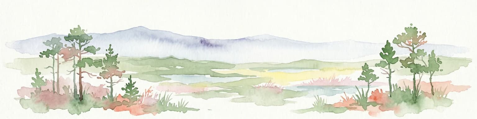
Lahemaa National Park: Explore Estonia's Coastal Geography and Protected Landscape Atlas
Mapped terrain, bogs, and coastal peninsulas of a major protected area.
Delve into the detailed geography of Lahemaa National Park, Estonia's largest national park situated on the southern coast of the Gulf of Finland. This protected landscape encompasses a diverse range of terrain, from the deeply indented coastline and ancient glacial boulders to expansive raised bogs and rolling boreal forests. Understand the park's mapped boundaries and its significance as a premier destination for exploring distinct Baltic natural environments and historical coastal villages. The park's unique blend of natural features and cultural heritage makes it a key point of reference in any protected-area atlas.
- Area
- 747 km²
- Established
- 1971
- IUCN
- II
- Relief
- Lowland