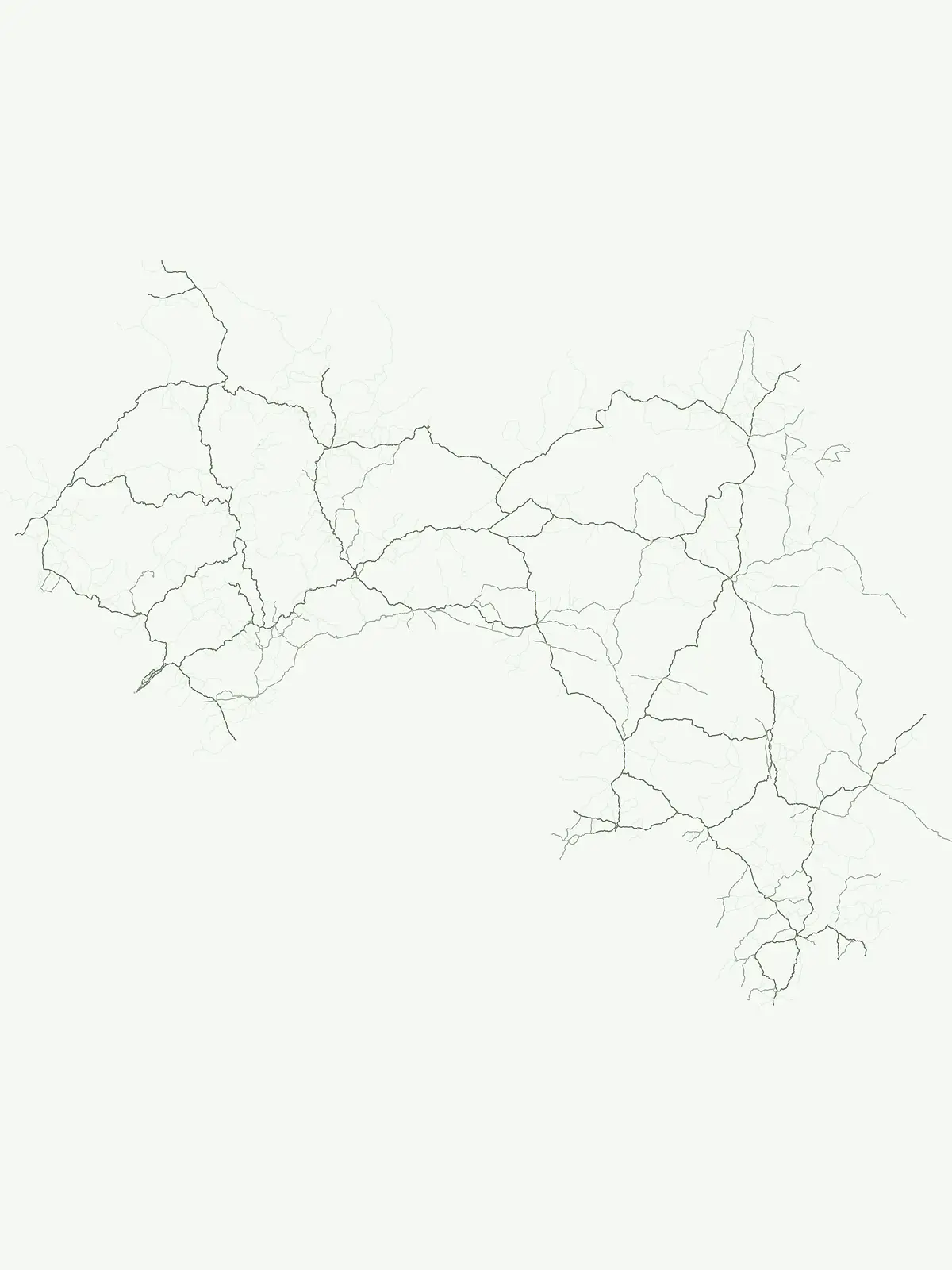
Discover geographically diverse protected natural areas through an index of mapped reserves.
Comprehensive Atlas of Protected Areas and Conservation Sites Located Across Guinea
This geographic collection documents various protected areas within Guinea, highlighting essential sites that contribute to the nation's broader conservation landscape. The atlas offers a reliable way to navigate these specific environments, providing map-based context for reserves and protected natural terrain across West Africa. Users can examine the distribution of these sites to better understand how they function within the regional geography of the country.
Flexible protected areas capturing diverse reserves across national landscapes
Protected Area in Guinea: Flexible Conservation Sites and Reserves
Each protected area in Guinea provides a flexible classification layer for conservation sites that fall outside sharper normalized categories. Browse classified forests, river basins, and coastal woodlands to understand how these varied regional reserves shape the national landscape.
Protected Area Parks in Guinea: Filtered Regional Discovery Map
Examine matching protected areas in Guinea to trace regional conservation corridors and forest reserves. The filtered park index provides comparative geographic context for classified landscapes and river basins.
Protected areaGuinea
Sankarani River
Mapping riparian corridors and Ramsar wetland ecosystems
The Sankarani River represents a vital hydrologic system originating in the Guinea Highlands. As a designated Ramsar site, this protected area features a unique 170-kilometre floodplain, gallery forest ribbons, and iron-bearing terrain. Map the riverine path and understand the environmental significance of this major tributary within the upper Niger Basin and the Fouta Djallon landscape.
Mapping mangrove forests, tidal mudflats, and coastal ecology
Rio Pongo is a prominent protected area in Guinea, characterized by a complex network of brackish tidal channels and dense mangrove forests. The site serves as a crucial habitat for waterbirds and aquatic mammals, while its position at the edge of the Atlantic Ocean defines a dynamic, low-lying coastal terrain that remains vital for regional conservation and ecological research.
Tracing the headwaters and plateau geography of the Bafing River basin
The Bafing-Source protected area serves as a significant hydrological anchor within the Fouta Djallon highlands of Guinea. This expansive site protects critical wetland catchments and plateau terrain that feed into the broader Senegal River system, demonstrating the vital link between highland ecosystems and downstream water security.
Analyzing peri-urban protected areas within Conakry Region
Forêt classée de Kakimbo represents a significant peri-urban forest and protected area characterized by its tall canopy trees and karst-like cave formations. This record details the reserve's strategic position in the Conakry coastal plain, emphasizing its dual role in urban groundwater supply and carbon storage within the Ratoma commune landscape.
Exploring the forest mosaic and habitat boundaries in Guinea.
Forêt classée de Nialama represents a complex protected landscape covering 10,000 hectares of the Fouta Djalon highlands. The area features a distinct blend of gallery forest, bamboo stands, and seasonal wetlands. Known for its role in chimpanzee conservation and avian diversity, this site offers a window into the varied Sudano-Guinean terrain and highland forest ecosystems of Guinea.
More designation routesCompare adjacent conservation categories across the national park and reserve network3
Other Park Designations and Protected Area Types in Guinea
Examine alternative conservation categories across Guinea to evaluate how different protected area types structure local natural lands. Comparing adjacent designation families clarifies the broader legal framework governing national parks, nature reserves, and biosphere zones.
Browse Guinea's national park atlas for mapped conservation areas.
National park
20%
Investigate Guinea's designated national parks, which represent the country's most significant protected landscapes. This country-specific index offers a clear view of their geographic placement and atlas value, enabling focused exploration of protected areas vital for conserving Guinea's natural heritage and regional geography.
Access a structured overview of nature reserves in Guinea. This atlas resource highlights protected areas focused on ecosystem integrity, offering a geographic perspective on how these specific conservation zones are distributed across the nation to safeguard essential habitats.
Examine the configuration of biosphere reserves across Guinea. This resource focuses on protected landscapes that prioritize ecological stewardship and sustainable coordination, offering a clear view of how these high-context conservation territories fit into the broader West African geography.