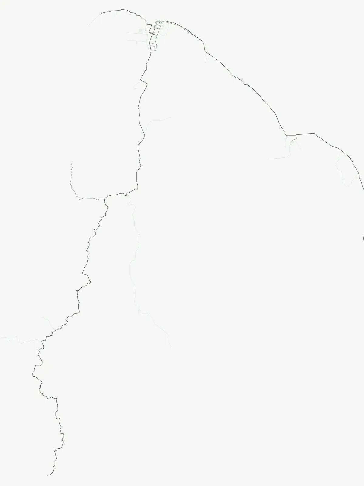
Browse Guyana's protected natural areas beyond specific park classifications.
Guyana Protected Areas: Exploring a Broad Designation Layer of Conservation Sites
Explore Guyana's unique geography through its protected areas, a flexible designation category encompassing conservation sites that do not fit sharper normalized groups. This atlas layer provides insight into the country's commitment to safeguarding its natural landscapes. Understand the extent and distribution of protected natural areas across Guyana, offering a distinct perspective on its conservation efforts and mapping these sites within their regional context.
Uncover Guyana's Diverse Protected Landscapes and Conservation Sites Across Its Unique Terrain
Exploring Protected Areas in Guyana: A Geographic Overview of Conservation Sites
Explore the designated protected areas across Guyana, encompassing a vital collection of natural sites recognized for their conservation value and unique ecological features. This designation acts as a flexible country index, highlighting critical landscapes like the Kanashen Community Conservation Area within the Upper Essequibo Basin, important for understanding broader conservation efforts in South America.
Explore Protected Areas in Guyana: Browse Key Conservation Landscapes
Browse the complete list of Protected areas in Guyana, covering vital natural habitats and conservation zones that safeguard the nation's unique biodiversity. This focused atlas view provides a valuable resource for tracing the geographic spread and environmental roles of protected landscapes across Guyana.
Protected areaGuyanaMountain
Kanashen
Explore the mapped landscape and protected land context.
Kanashen Protected Area serves as a critical point of geographic discovery within Guyana, offering detailed insights into its protected boundaries and natural landscape. This entry focuses on providing a structured, atlas-driven understanding of Kanashen, emphasizing its role within the regional geography of South America. Users can explore how this protected area fits into the larger mapped context, appreciating its specific terrain and conservation significance.
Atlantic shoreline nesting habitats and regional ecological boundaries.
Spanning 120 kilometers of Guyana's northern coast, Shell Beach represents a significant protected area dedicated to marine conservation. Its geography features a continuous chain of sandy beaches, offshore foraging waters, and adjacent coastal forest ecosystems, all managed through a community-based model within the Barima-Waini Region.
Forested ridges and savannah corridors in Upper Takutu-Upper Essequibo
The Kanuku Mountains form a massive forested chain that defines the landscape of the Upper Takutu-Upper Essequibo region. Rising sharply from the surrounding Rupununi savannah, this protected area serves as an vital ecological bridge between river systems and diverse interior forest zones. Map the terrain of these two distinct mountain blocks to understand the physical and biological character of this major Guyana conservation area.
More designation routesTrace the full range of Guyana's protected landscapes and park geography.1
Compare Guyana's National Parks and Other Protected Area Designations
Explore the distinct protected area designations across Guyana, including its important national parks, to gain a complete understanding of the country's conservation landscapes. Comparing these different park types reveals the varied approaches to safeguarding Guyana's diverse natural geography and ecological zones.
Discover protected landscapes and their regional distribution.
National park
25%
Delve into the world of Guyana's National Parks, a prominent designation for protected areas. This section focuses on the geographic mapping and atlas exploration of these significant landscapes, offering insights into their placement within the country's broader natural terrain and protected land coverage.