
Mori Atlas logo
Country designation

Tracing large-area conservation frameworks and sustainable management zones across Honduran territory.

Biosphere Reserve Protected Areas and Ecological Stewardship Regions in Honduras

This geographic collection documents the biosphere reserves of Honduras, focusing on areas defined by systemic ecological stewardship, research, and sustainable human-landscape interaction. These designated territories operate as large-scale conservation models, integrating critical core zones with surrounding protected landscapes. By examining these regions, one can observe how land management coordination supports environmental integrity within the national geography of Honduras.

Biosphere Reserve Protected Areas and Ecological Stewardship Regions in Honduras

Large scale ecological stewardship across Central American rainforest watersheds.

Biosphere Reserve in Honduras: Protected Areas and Conservation Geography

Large conservation territories combine core protected forests with sustainable management zones across national watersheds. Ecological coordination frameworks support complex tropical habitats, indigenous territories, and regional biodiversity corridors.

Biosphere reserve
Mapped park1
Share of country parks5%
Largest mapped parkRío Plátano Biosphere Reserve5,250 km²
Oldest mapped parkRío Plátano Biosphere Reserve1,982
Parks in this designationExplore sustainable conservation regions and ecological stewardship areas across the country.1
See all parks

Biosphere Reserve in Honduras: Filtered Park List and Protected Landscapes

Browse the registered biosphere reserves in Honduras to examine large conservation territories and protected natural landscapes. Filter national park data by official designation to study regional ecology and resource management systems.

Biosphere reserveGracias a Dios DepartmentMarineMountain

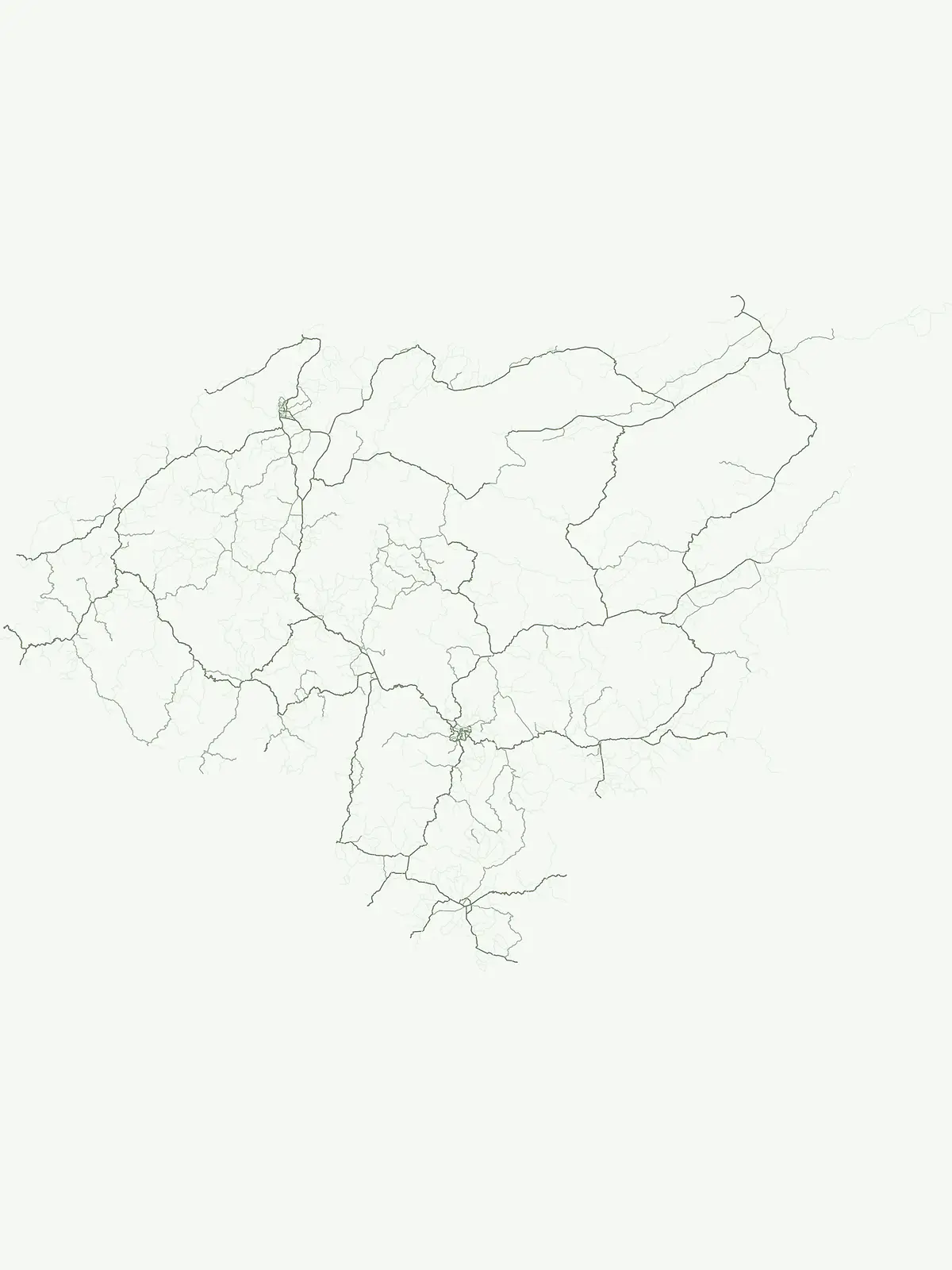
Río Plátano Biosphere Reserve

A sprawling conservation landscape in Gracias a Dios Department

Río Plátano Biosphere Reserve protects one of the last major tracts of undisturbed tropical rainforest along the Central American Caribbean coast. This vast area spans diverse physiographies including brackish coastal lagoons, freshwater mangrove systems, and steep mountain ridges reaching over 1,300 meters. The geography is defined by the Río Plátano watershed, which serves as a vital corridor for endangered species and encompasses significant archaeological sites within its deep forest interior.

5,250 km²1982TropicalRemote access
More designation routesExamine how alternative conservation frameworks shape regional protected landscapes.1

Compare Other Protected Area Designations and Park Types in Honduras

Analyze other park designations in Honduras to understand the full scope of national conservation management. Compare adjacent protected area types to see how different legal frameworks protect regional terrain.

Explore mapped boundaries and regional geography of national parks.

National park

95%

Navigate the curated atlas of national parks within Honduras, emphasizing their significance as protected landscapes. This resource details the geographic distribution and provides a structured overview for understanding the country's commitment to conservation through its national park designations. Discover the mapped terrain and context for each recognized park.

Share of country parks95%
18Mapped parksHonduras National Park Atlas
Honduras National Park Atlas
MoriAtlas Explorer

Continue Exploring Honduras's Protected Natural Landscapes and Park Geography

Further your understanding of Honduras's natural heritage by continuing to browse its diverse protected areas. Each national park and protected landscape offers unique geographic features and conservation value. Use this resource to trace the country's protected land distribution and gain deeper insights into its regional geography and mapped natural terrains.