
Explore diverse terrain, glacial formations, and mountain geography across regional park networks
Named Natural Features and Geographic Landscapes within Protected Areas of Nepal
This collection maps significant natural features identified within protected landscapes across Nepal. By tracing these geographic markers, users can analyze how terrain, high-altitude systems, and mountain structures relate to broader park boundaries and regional environmental contexts. The records provide a structured framework for identifying and categorizing the physical characteristics found throughout the diverse natural areas of the country.
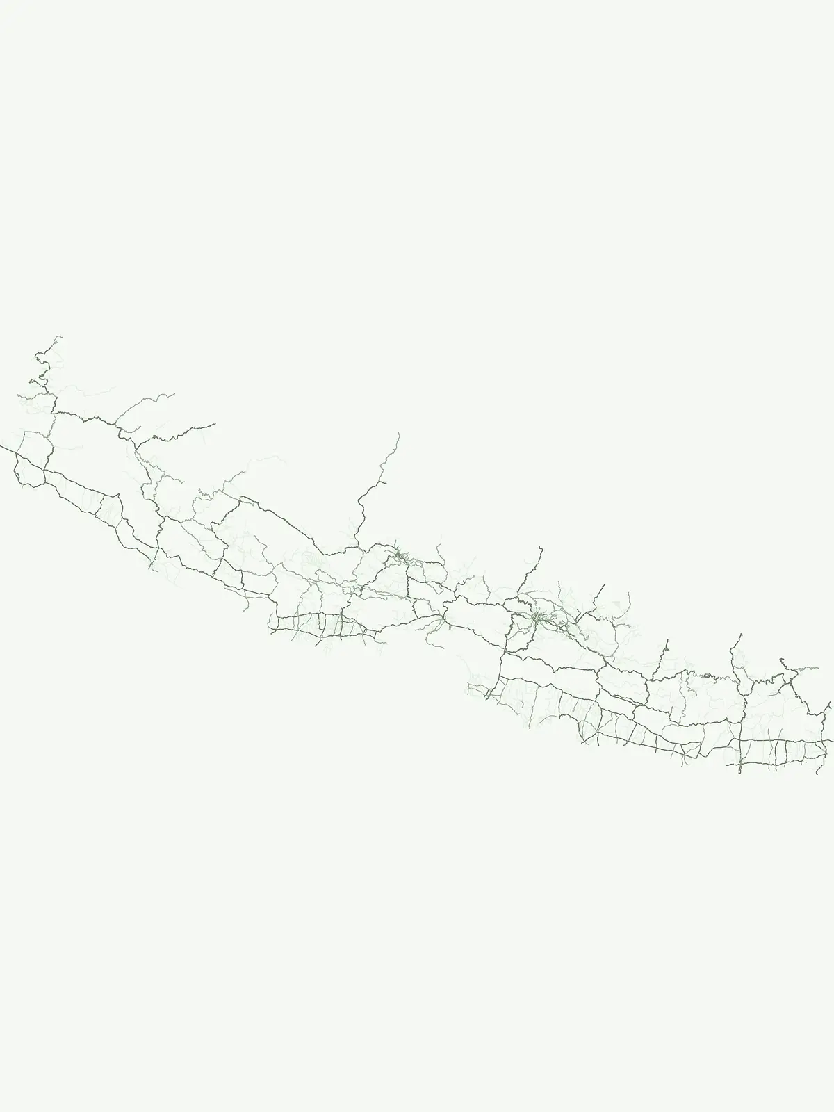
Explore mapped mountains, rivers, and valleys protected within Himalayan conservation boundaries
Named Natural Features and Geographic Landmarks within Nepal's National Parks
Mapping mountain summits and ridge systems in Nepal
Peaks
Access a structured collection of named peaks identified throughout Nepal. This resource focuses on the summit identity, elevation, and prominence of individual landforms situated within the nation protected areas. It provides a clear geographic framework for understanding the distribution of significant peaks relative to regional mountain systems.
Inland water basins in protected natural environments
Lakes
Browse the inventory of named lakes documented within protected areas in Nepal. This collection provides clear geographic context for each water body, detailing basin settings, natural inflows, and their physical connection to the surrounding Himalayan and regional landscape. It serves as an atlas-focused resource for understanding how these inland water bodies are distributed across various protected natural zones.
Regional survey of Himalayan water systems
Rivers
Examine the distribution and physical characteristics of rivers in Nepal. This collection documents significant watercourses that traverse protected zones, tracing their path through mountain terrain and deep gorges while providing a systematic overview of hydrological features found within the country landscape.
Regional watercourse geography and park networks
Streams
Discover a structured selection of streams in Nepal. These natural watercourses highlight the complex terrain of Himalayan protected areas, serving as vital components of drainage networks and mountain geography. Focus on regional connectivity and the role of these features within the broader, rugged landscape context.
Continue Exploring Nepal's Protected Landscape Geography and Park Distribution
Delve deeper into the atlas of Nepal's protected areas by browsing the full country list. Understand how these national parks and conservation landscapes are mapped across diverse terrains, offering a robust foundation for geographic study. This resource enables a more detailed appreciation of Nepal's commitment to preserving its unique natural heritage through structured, map-focused discovery.