
Why Angelhofer Altrhein stands out
The Angelhofer Altrhein is best known for being a surviving stretch of the old Upper Rhine, transformed into a quiet, ecologically important backwater after the 19th-century straightening of the river. It forms part of an EU Bird Protection Area and a Natura 2000 habitat, combining floodplain forest, still water, muddy riverbanks, and rare oak-elm-ash woodland. Its mix of protected nature, low-impact water recreation, and proximity to Speyer gives it a distinctive character within the Rhine floodplain landscape.
Angelhofer Altrhein history and protected-area timeline
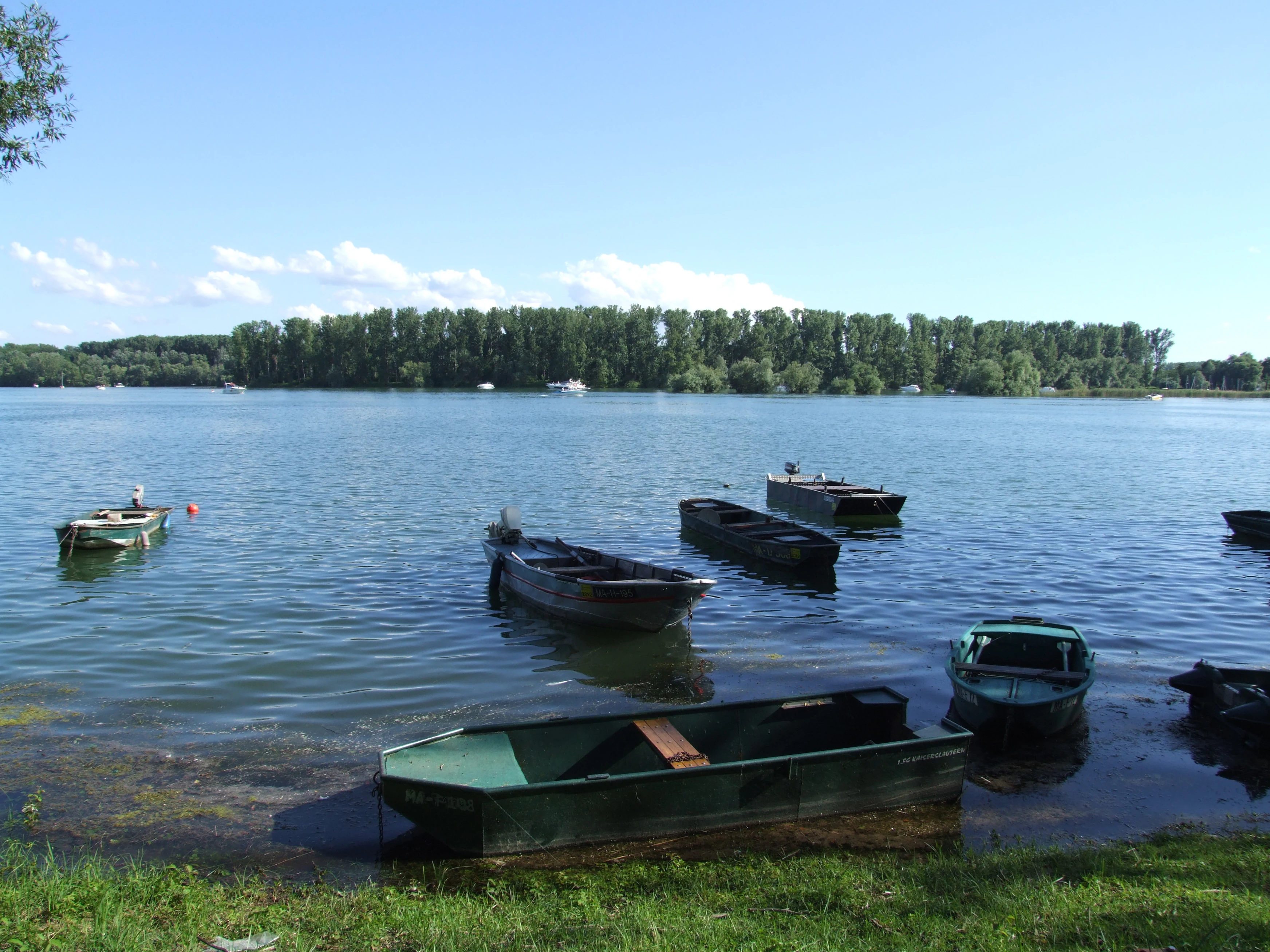
The Angelhofer Altrhein is essentially a relic of the Upper Rhine's earlier, wilder course. The river once bent sharply westward here in a wide meander, with the Angelwald peninsula lying between the live river and what is now the backwater. The name itself comes from a former farm called Angelhof that once stood in the area, and over time there were two separate properties, Angelhof I and Angelhof II, directly on the riverbank. Angelhof I was later demolished, while Angelhof II continued to be used, at times as a local inn.
The change in the river's pathway came through Johann Gottfried Tulla's Rhine straightening programme. In 1826 workers dug a guiding ditch along the planned Angelhofer Durchschnitt, relying on the river's own erosive force to widen the new cut into a full channel. Because of the gentle gradient and a thick layer of clay in this section, the shift in the main current took longer than at neighbouring straighter cuts; the new path did not become the river's main course until 1876. The neighbouring Otterstadt straightening (1833 to 1845) and the Ketsch cut (1833 to 1839) followed similar logic but shifted the active channel more quickly.
After the cut was made, the old meander was reduced to a side arm. In 1876 the south-eastern part of what was then an island, including Angelhof, still belonged to the Baden town of Hockenheim; much of its land was used as meadow, and a brickworks stood at the southern tip. In the 20th century the shoreline gradually filled with recreational and military uses; wild camping on former Erlus factory land evolved into the formalised Campingplatz Reffenthal in 1971, and a succession of yacht clubs established themselves along the wooded shore. The northern part of the military site traces back to French forces under the name Quartier Riberpray before being used by German pioneer troops.
Angelhofer Altrhein landscape and geographic character
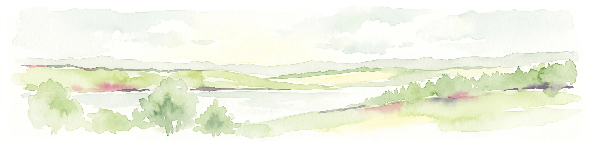
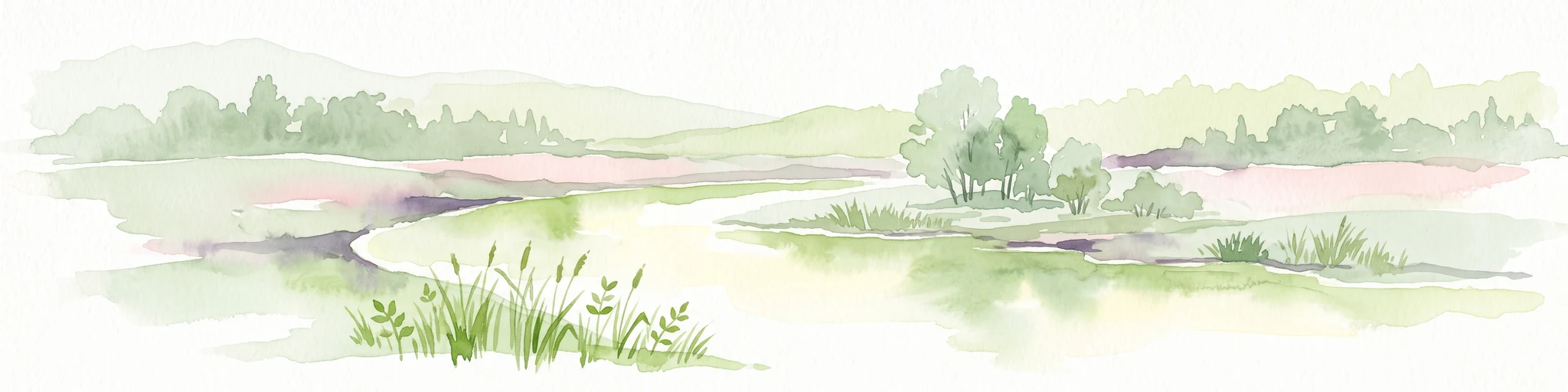
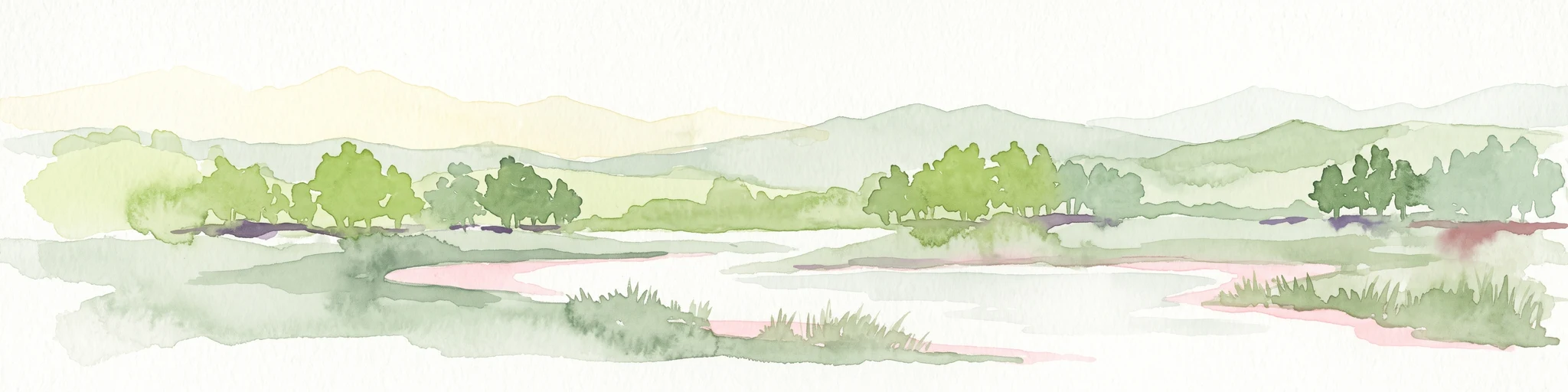
The Angelhofer Altrhein lies on the flat alluvial plain of the Upper Rhine, where relief is subtle and landscape character comes from water bodies, embankments, and contrasting vegetation rather than elevation. The arm itself curves broadly around the Angelwald peninsula, its shape still echoing the original meander. The northern end remains open to the Rhine, while the southern end was sealed off by an engineered land fill. The result is a long, gently curved lake-like water body whose width varies sharply along its length.
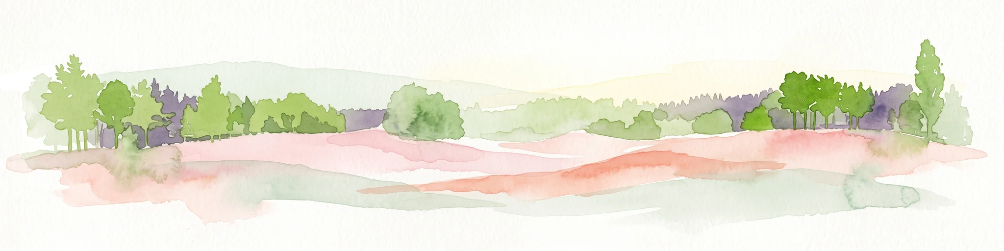
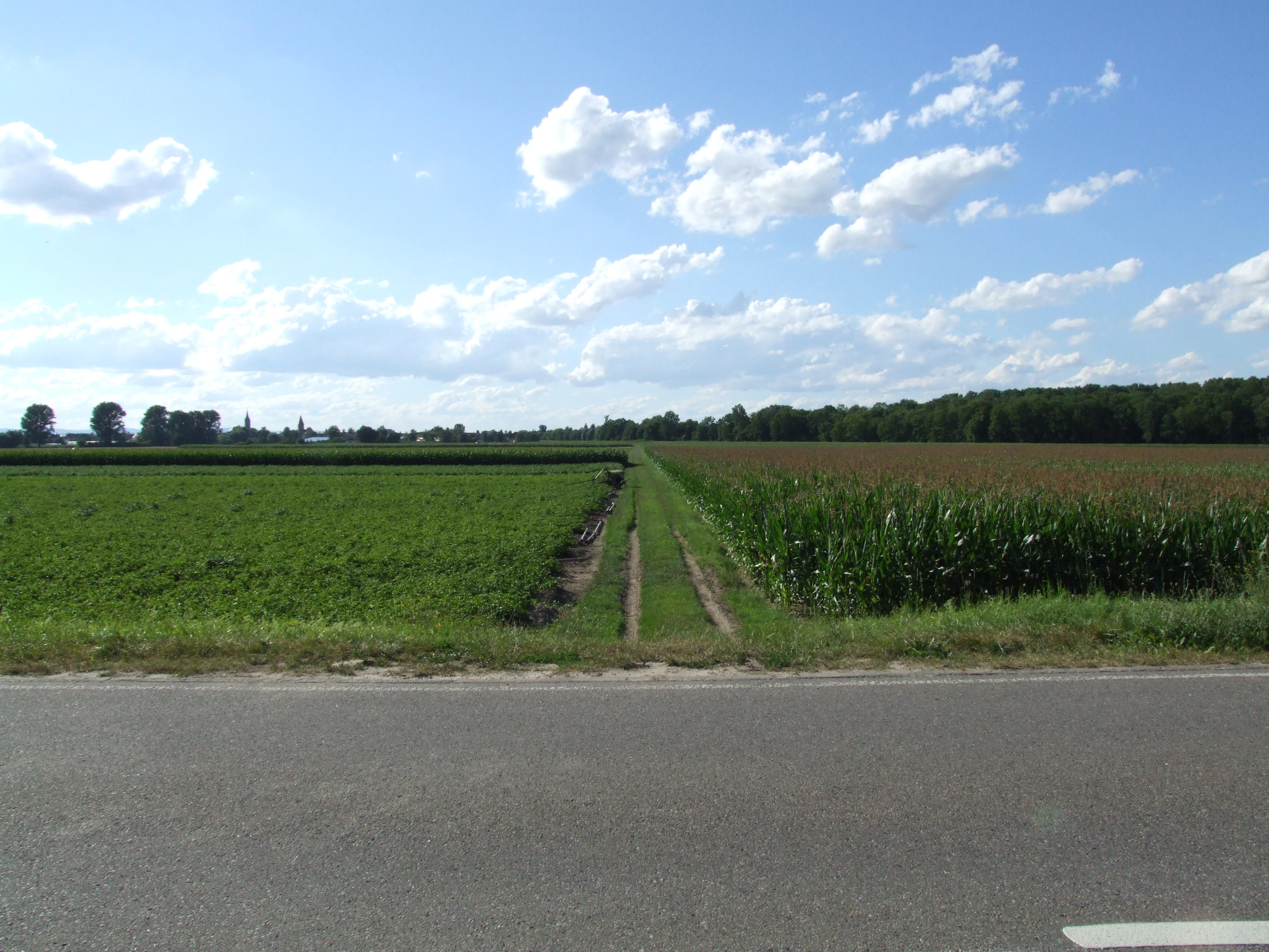
To the east lies the Rhine with the wooded floodplain of the Angelwald pressed against its bank, while a continuous embankment, the Rheinhauptdeich, closes off the western side. Inland of this embankment the terrain opens into the broad Rhine floodplain known as the Binsfeld, dominated by eight connected former gravel pits. The eastern shore of the arm narrows into the Reffenthal strip, which carries the camping area, the nautical clubs, and the military training zone. Most of the open land between river and embankment reads as a softwood floodplain forest on the wet side and a large floodplain meadow on the slightly higher, drier strip further back, giving the area a thin but very legible cross-section of Upper Rhine riparian environments.
Angelhofer Altrhein ecosystems, habitats, and plant life
The Angelhofer Altrhein belongs to two major European habitat networks. It sits within EU Bird Directive site 6616-401, which combines the Otterstadter and Angelhofer Altrheine with the Binsfeld, and within the Natura 2000 Fauna-Flora-Habitat area covering the Rhine floodplain between Speyer and Ludwigshafen. The recognised habitats are unusually diverse for such a compact water body.
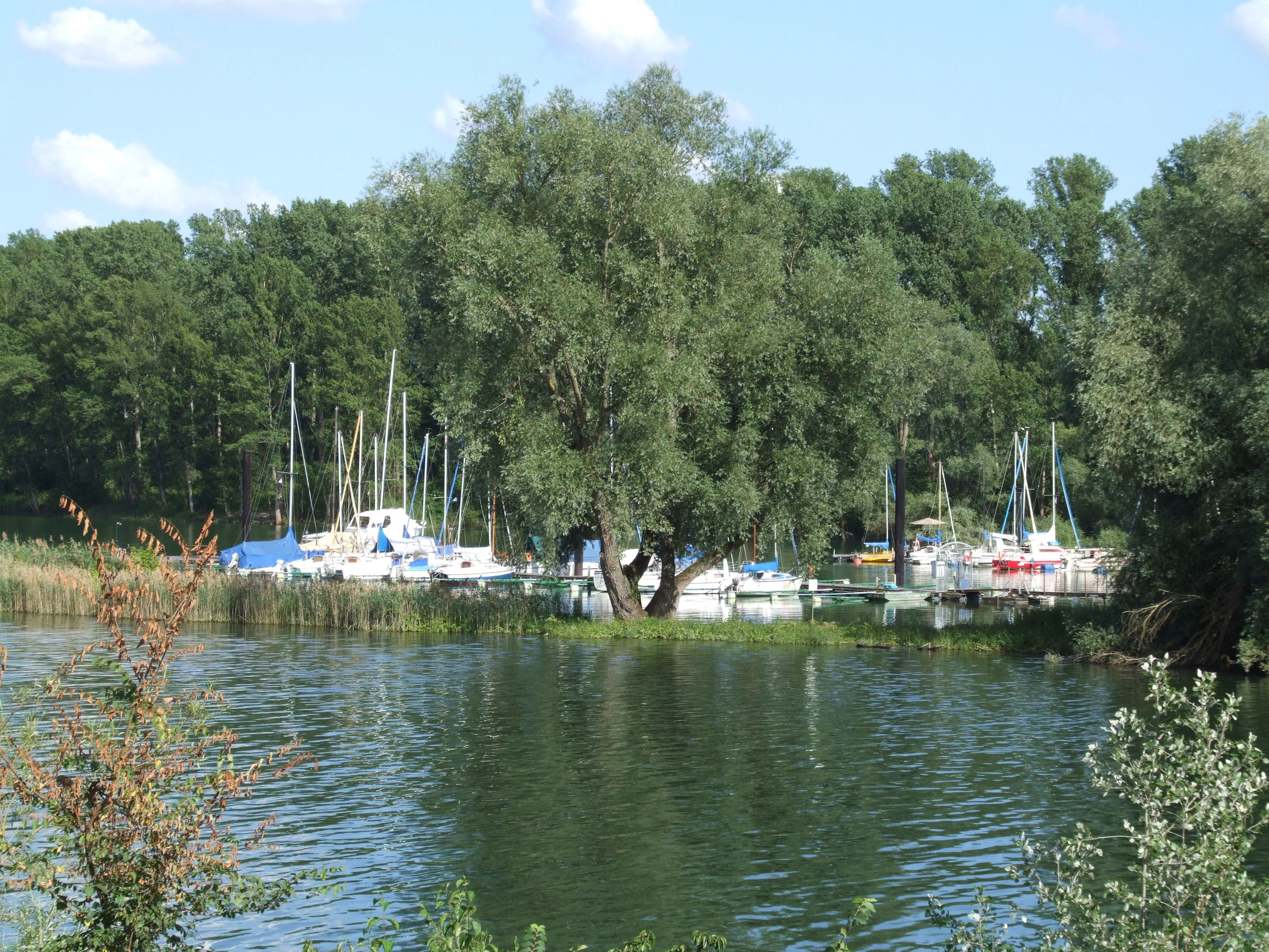
The widening of the arm in the north, where gravel has been dredged from beneath the former riverbed, supports nutrient-rich still waters typical of lowland floodplain lakes. In front of the shoreline softwood forests lie muddy riverbanks that shift with the seasons and provide key feeding habitat for fish and invertebrates. Willow and poplar floodplain woodland forms thin but continuous bands along almost the entire shore, while larger patches of mature oak-elm-ash floodplain woodland with old trees stand on the Angelwald peninsula, on the islands, and in the wider north-western zone where the arm meets the Rhine. Inland from the embankment the Binsfeld's chain of former gravel pits adds another layer of standing water habitat, while the floodplain meadow further back preserves a more open, grassland character.
Angelhofer Altrhein wildlife and species highlights
The Angelhofer Altrhein supports a notable mix of breeding birds, seasonal visitors, protected fish, rare mussels, and characteristic woodland insects. The combined Otterstadter and Angelhofer bird protection area is used by breeding black kites, kingfishers, and middle spotted woodpeckers, with smaller occurrences of bluethroats, grey-headed woodpeckers, and black woodpeckers. As migrants and winter visitors the area attracts diving ducks, grebes, great cormorants, white-fronted, bean, and greylag geese, and several gull species, making the shoreline and open water important seasonal gathering points for waterfowl.
In the water itself, several protected fish species are present, including river lamprey, sea lamprey, Atlantic salmon, spined loach, allis shad, and bitterling, together with the common freshwater mussel. The surrounding woodland is home to rare insects such as the great capricorn beetle, the stag beetle, the dusky large blue butterfly, and the Jersey tiger moth. The combination of mature hardwood trees, softwood shore forest, open meadow, and still water within a single small floodplain sector is what gives the wildlife profile of the Angelhofer Altrhein its strength.
Angelhofer Altrhein conservation status and protection priorities
Conservation significance at the Angelhofer Altrhein stems from the layered European protection it enjoys. As part of the EU Bird Directive site covering the Otterstadter and Angelhofer Altrheine and the Binsfeld, it contributes to a trans-regional network aimed at protecting breeding and migratory waterfowl and woodland birds. Its inclusion in the larger Rhine floodplain Natura 2000 area between Speyer and Ludwigshafen adds a habitat-based layer of protection that targets vulnerable riverine ecosystems rather than individual species.
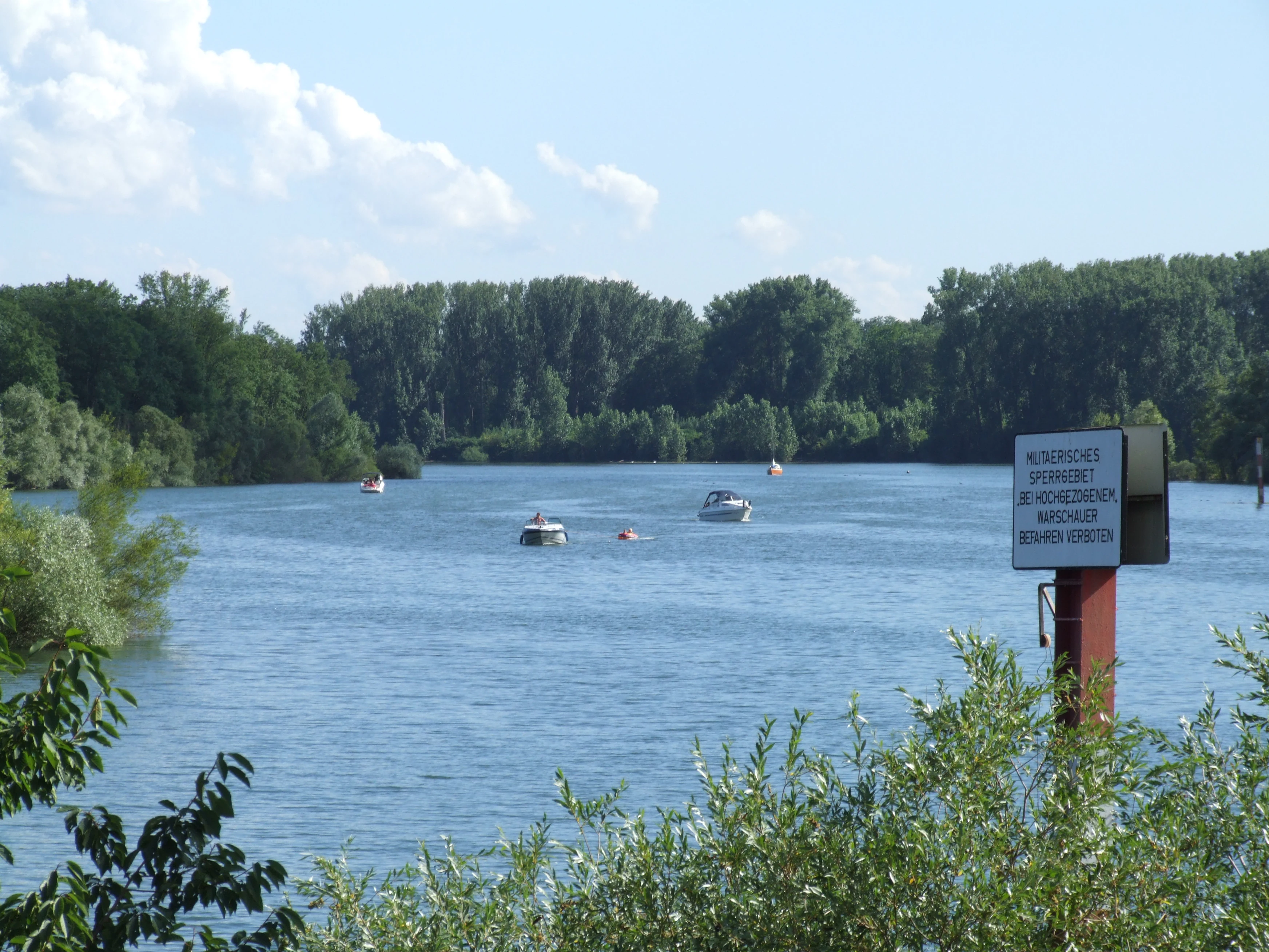
The four habitat types formally recognised here are key to its value: nutrient-rich still water in the expanded northern reach, muddy riverbanks supporting invertebrates and fish, willow-poplar softwood floodplain forest lining the shore, and oak-elm-ash floodplain woodland on the wider peninsula and islands. These habitats maintain floodplain connectivity, preserve old-growth character in patches, and provide refuges for protected fish such as lampreys and salmon, for the common freshwater mussel, and for rare saproxylic beetles tied to mature trees. Alongside formal designation, everyday rules govern use of the arm and its banks: a maximum boat speed, a minimum distance from the shore, restricted overnight stays to the four clubs, and intermittent military closures, all of which work to keep disturbance low across the protected stretch.
Angelhofer Altrhein cultural meaning and human context
The name Angelhofer Altrhein preserves the memory of two historical farmsteads, Angelhof I and Angelhof II, that once stood beside the live river. Angelhof I was demolished, while Angelhof II continued in use, at times as a tavern, keeping a small thread of farming and hospitality tradition by the Rhine. The 1876 boundary between the Baden community of Hockenheim and the surrounding Prussian territory marked the shift from agricultural use to the more layered recreational landscape that exists today.
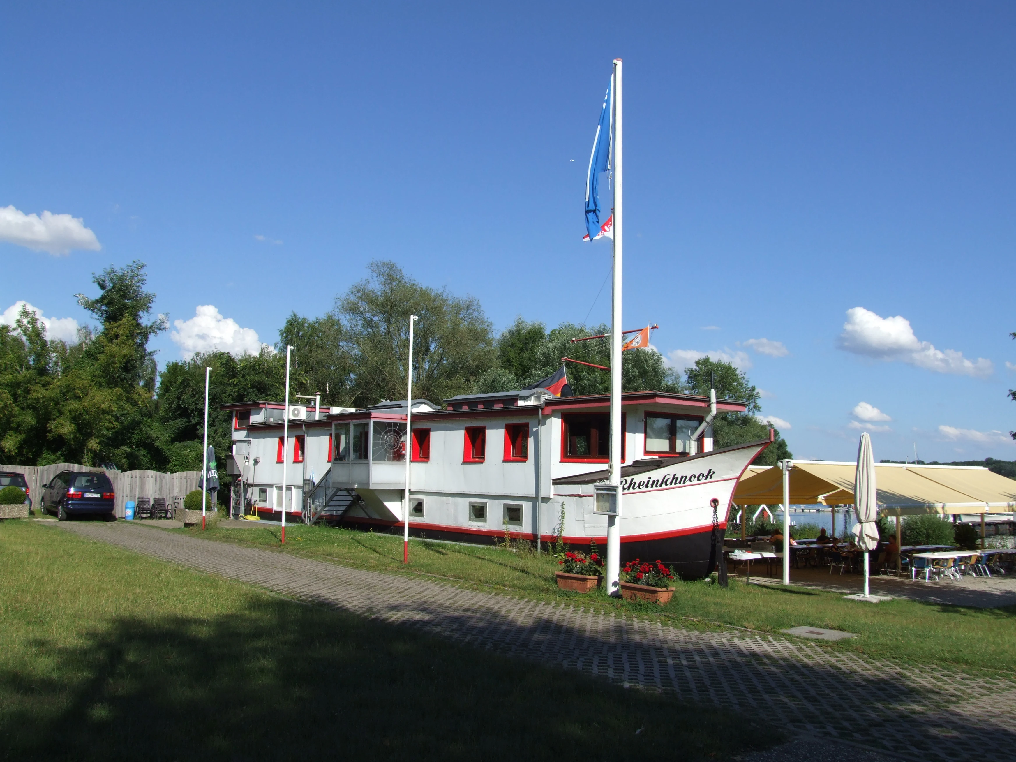
The shoreline also carries a 20th-century German-French military heritage. Part of the Reffenthal strip was a French encampment, Quartier Riberpray, before passing to German engineer troops, and today a Bundeswehr water training ground occupies part of the same waterfront. Local sailing culture is anchored by four yacht clubs, including the oldest, founded in 1965 on the ground of the old Speyer brickworks, whose clubhouse, the Rheinschnook, is a wooden vessel from 1911 that has been reused as a building. The Campingplatz Reffenthal, born from informal camping on former Erlus factory land in 1971, rounds out the layered human history of the site.
Top sights and standout views in Angelhofer Altrhein
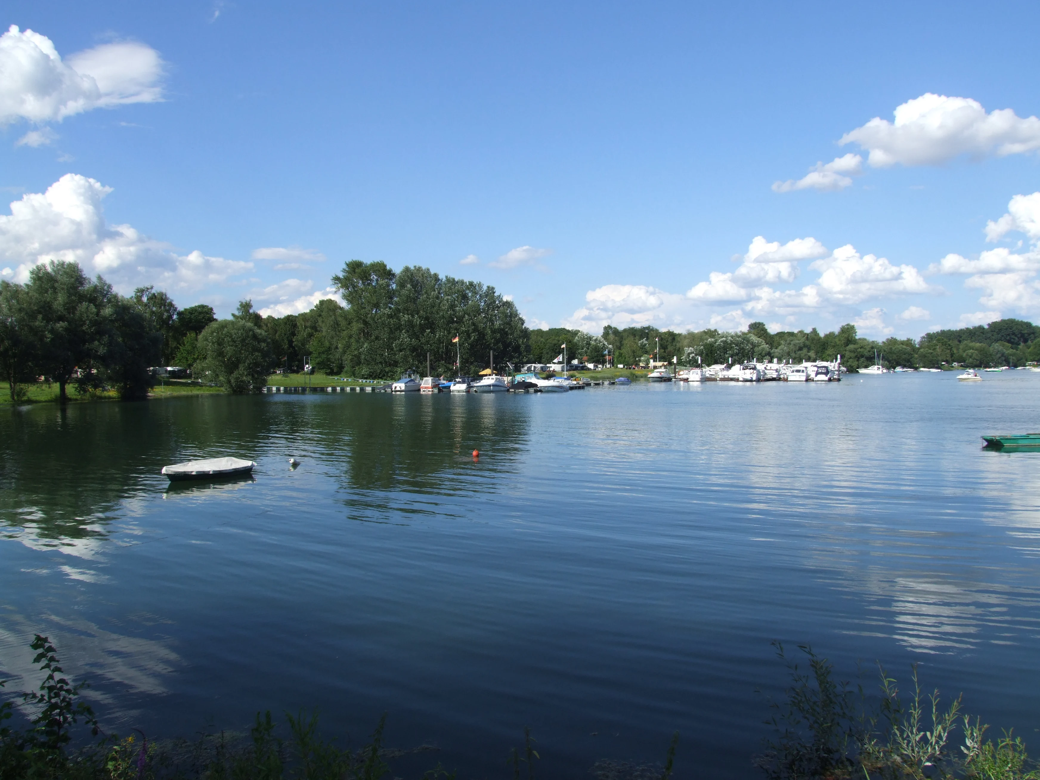
A rare surviving trace of the pre-straightening Upper Rhine, the Angelhofer Altrhein combines a quiet oxbow backwater with rich floodplain forest, mature oak-elm-ash woodland, and open floodplain meadow. Its overlapping Bird Directive and Natura 2000 status protect breeding woodland birds, migratory waterfowl, protected fish species, rare mussels, and characteristic floodplain insects. Within a short arc between Speyer and Otterstadt it hosts a public campsite, four yacht clubs, and a public boat slip, all set within an actively protected Rhine floodplain landscape.
Best time to visit Angelhofer Altrhein
The Angelhofer Altrhein changes character with the seasons rather than offering a single fixed peak. Spring and early summer are the most rewarding periods for breeding woodland birds, when softwood floodplain forest around the arm is active with warblers, woodpeckers, and raptors. Autumn and winter bring the area to life for waterfowl, with grebes, diving ducks, cormorants, and several goose species gathering on the open water. Summer is the most active time for low-key recreation on the arm, including slow boat traffic and camping at Reffenthal, though the protected shoreline and the intermittent military closure of part of the water area should always be respected.