
Why Pfälzische Rheinauen stands out
The Pfälzische Rheinauen is best known for its extensive alluvial forests, oxbow lakes (Altrheine), reed beds, and species-rich wet meadows along the Upper Rhine. These floodplain habitats support a remarkable concentration of amphibians such as the European tree frog and crested newt, waterbirds including white storks, kingfishers, and black kites, and iconic floodplain mammals such as the Eurasian beaver. The area is equally recognized for the way former gravel pits and clay quarries have been reclaimed as nature reserves, recreation lakes, and ecologically valuable secondary habitats. The combination of intact floodplain ecosystems, restored industrial sites, and active land management gives the protected landscape a distinctive character that blends natural heritage with regional industrial and agricultural history.
Pfälzische Rheinauen history and protected-area timeline
The formal protection of the Pfälzische Rheinauen dates to 1971, when the area received its landscape protection designation (Landschaftsschutzgebiet) under the designation LSG-7300-001. The designation recognized the long-standing ecological and cultural value of the Upper Rhine floodplain in the Palatinate, which had been shaped by both natural river dynamics and centuries of human land use.
Geologically, the landscape developed over the Quaternary period through the subsidence of the Upper Rhine Graben and the continuous deposition of gravel, sand, and flood loams by the Rhine and its tributaries. Repeated flooding, channel shifts, and the formation of abandoned meanders created the characteristic pattern of oxbow lakes, alluvial flats, and riparian wetlands that define the area today.
The modern economic history of the Pfälzische Rheinauen is closely tied to mineral extraction. Industrial-scale gravel and sand mining began in the 1920s, expanding sharply after the Second World War in response to construction demand. Companies such as the Kieswerke Sondernheim and the Pfälzer Kies Union left a lasting mark on the landscape, producing numerous artificial lakes. Many of these former pits have since been renaturalized or integrated into conservation programs, including LIFE Nature and Natura 2000 initiatives.
Clay mining emerged alongside gravel extraction, particularly near Mechtersheim, Sondernheim, and Jockgrim, where high-quality alluvial clay was discovered. In Jockgrim, the founding of the Ludowici brickworks in 1883 marked the rise of one of Europe's largest tile-producing centers, exporting products worldwide. The industry employed over a thousand workers around 1900 and shaped the local economy well into the late twentieth century. Former clay pits have also been reclaimed as wetlands or integrated into protected sites, while the old Ludowici site now hosts a municipal administration and an industrial and brickmaking museum.
In parallel, conservation awareness grew throughout the twentieth century. The landscape protection area sits within an increasingly dense network of national nature reserves, EU Bird Protection Areas, and FFH sites. Since the early 2000s, gravel and sand extraction has been confined to designated priority areas under stricter environmental rules, and former mining sites are now seen as opportunities for ecological upgrading. The Pfälzische Rheinauen today stands at the intersection of this industrial legacy and a modern, multi-functional approach to floodplain conservation.
Pfälzische Rheinauen landscape and geographic character
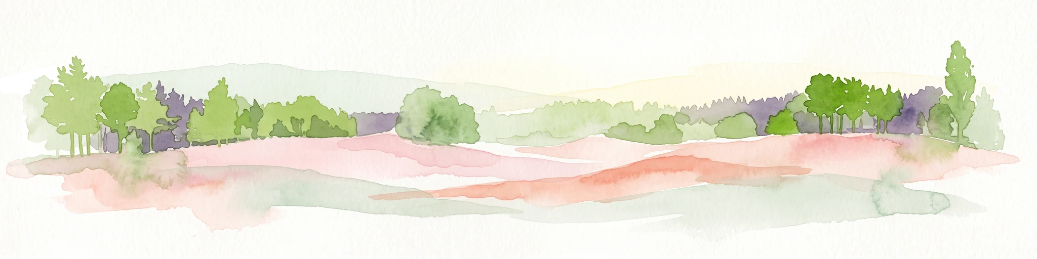
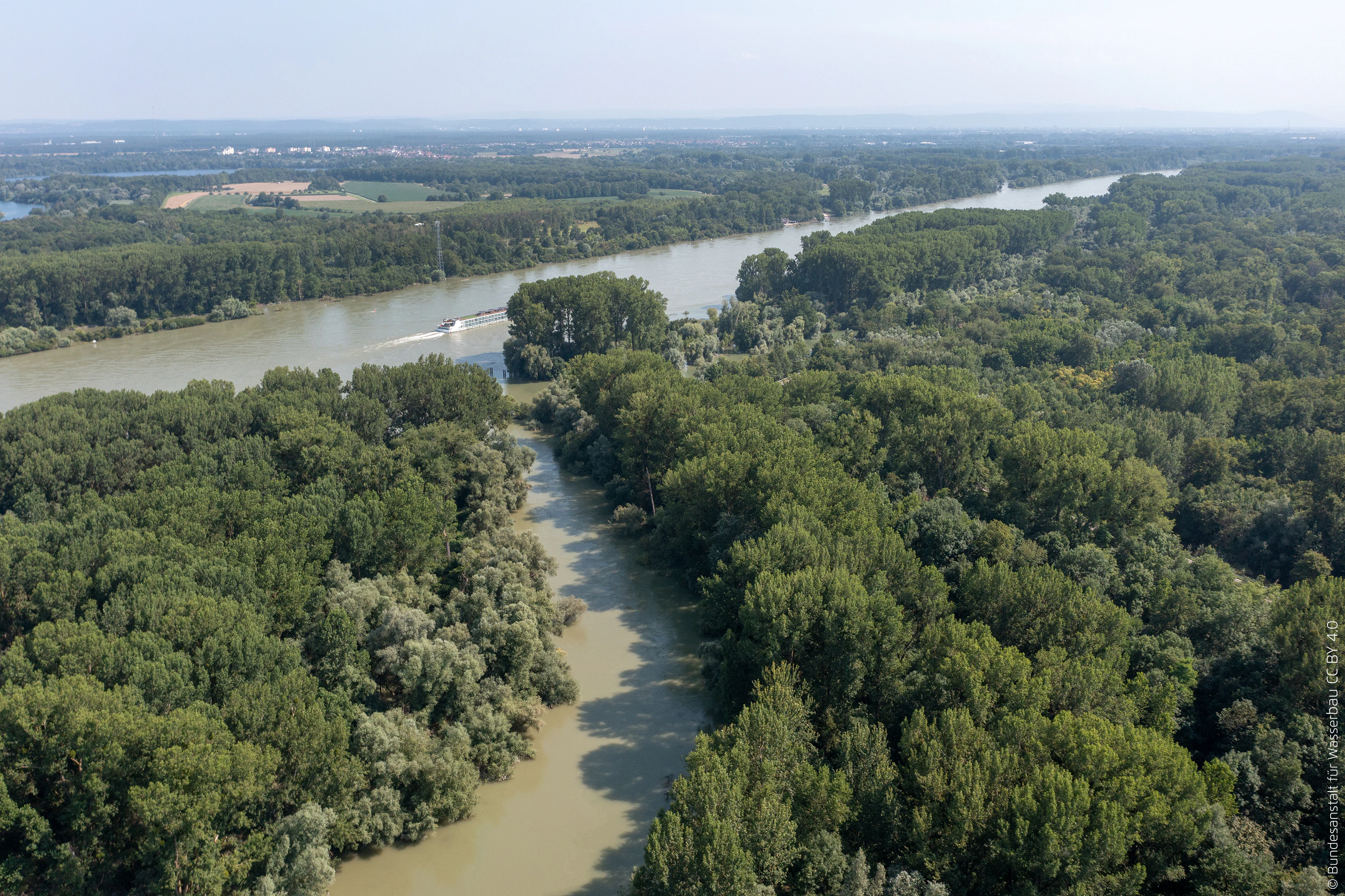
The Pfälzische Rheinauen occupy the southern part of the Upper Rhine Graben, a broad, flat lowland corridor lying between the wooded slopes of the Haardt, the eastern rim of the Palatinate Forest, and the active course of the Rhine. The terrain is almost level, with subtle variations in elevation produced by the dynamics of past and present river channels. Within this apparent uniformity lies a strikingly varied mosaic of distinct landscape elements.
Geologically, the area is a product of the Quaternary period. Over the last 2.6 million years, the subsidence of the Rhine Graben, combined with continuous sediment input from the Rhine and its tributaries, produced thick deposits of gravel, sand, and fine overbank loams. Repeated flooding and channel migration laid down alternating layers of coarse river gravel, flood loams, peat, and mud in former channels. The result is a substrate-rich floodplain with near-surface groundwater tables and a marked tendency toward seasonal inundation.
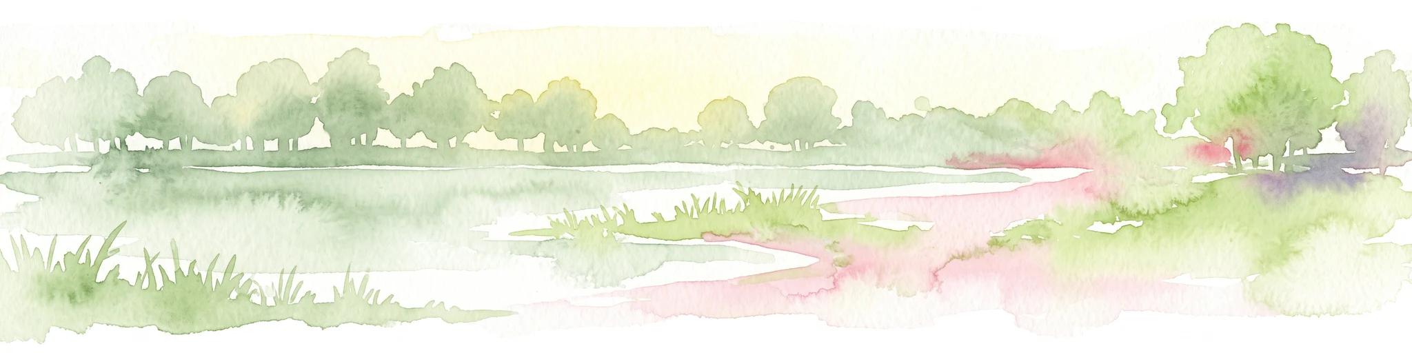
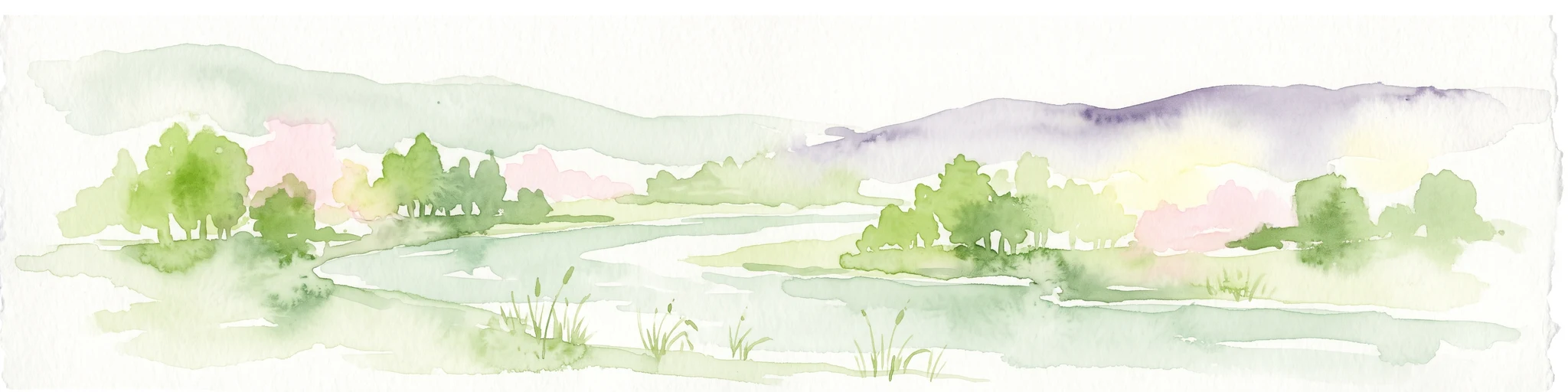
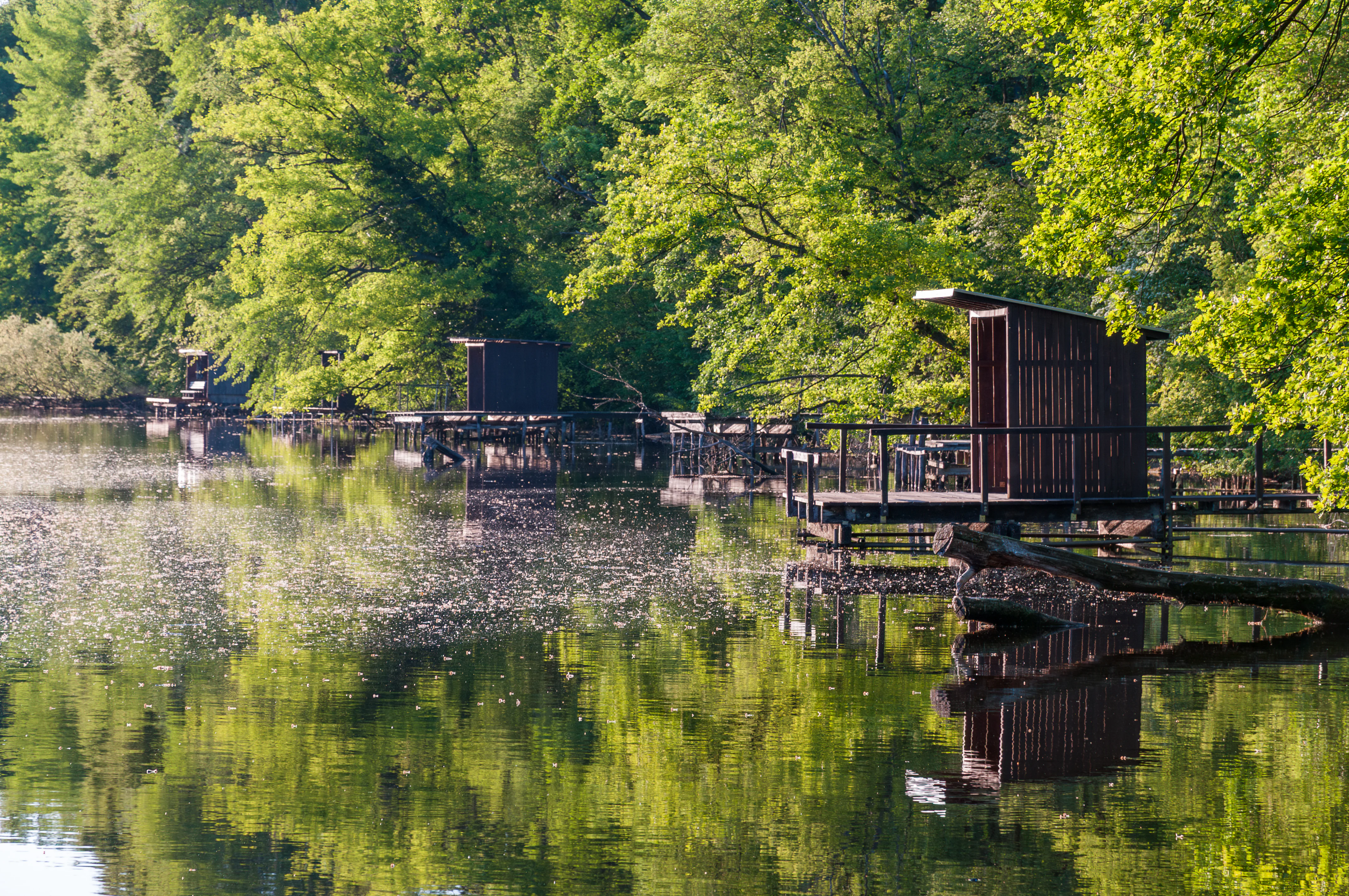
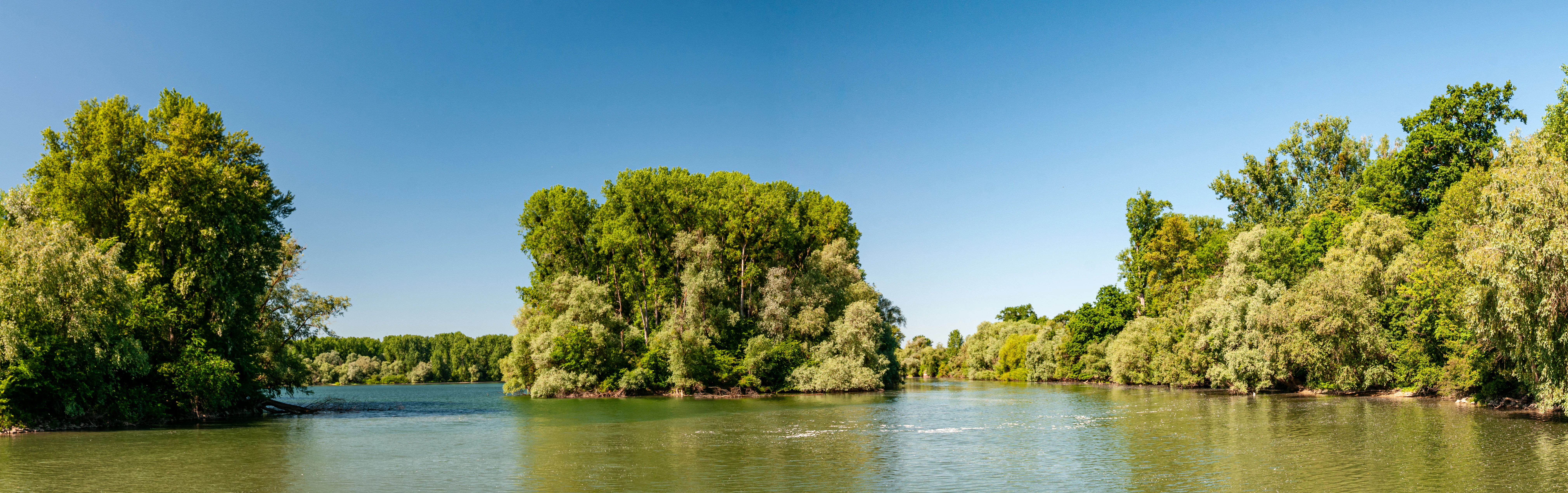
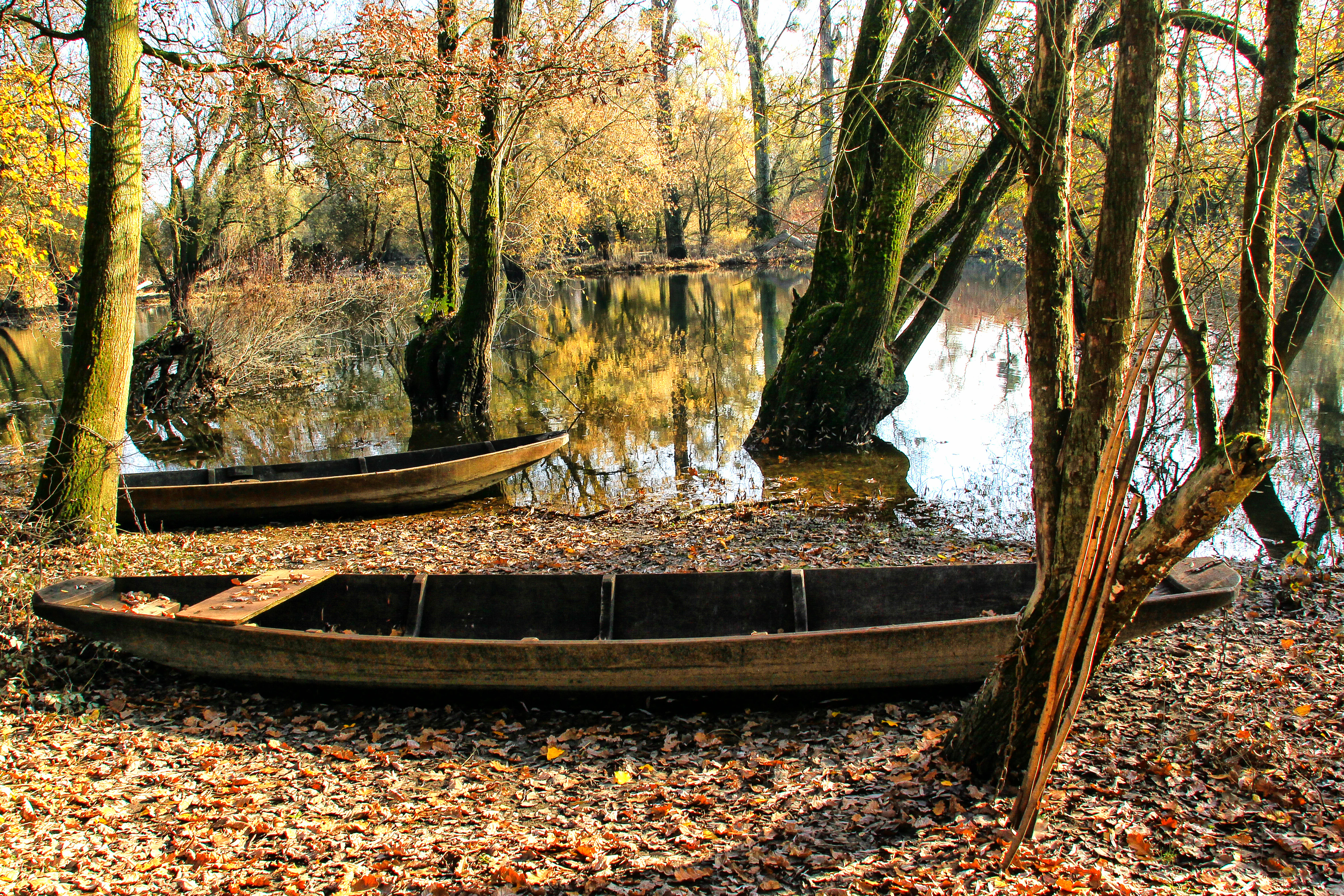
The visible landscape is organized around water. Numerous oxbow lakes and former river arms, locally called Altrheine, form a network of still and slow-moving waters, often fringed by reed beds, water lilies, and softwood willows. Sections of the floodplain remain as open wet meadows and periodically flooded grasslands, while others have developed into mature hardwood floodplain forests dominated by oak, ash, and elm. Near the active dikes and riverbanks, softwood communities of willow and poplar thrive on freshly deposited sediments.
The floodplain's natural structure is interrupted but enriched by human-shaped features. Former gravel pits now form clear lakes, some used for recreation, while reclaimed clay pits host new wetland habitats. Polders, retention basins, and drainage works reflect the long struggle to manage flooding in this low-lying country. Despite these modifications, the area retains strong visual and ecological coherence as a continuous stretch of alluvial landscape.
Pfälzische Rheinauen ecosystems, habitats, and plant life
The Pfälzische Rheinauen are ecologically defined by their floodplain character: a constantly shifting mosaic of aquatic, semi-aquatic, and terrestrial habitats shaped by the rhythms of the Rhine. Near-surface groundwater, regular flooding, and a fine-grained mosaic of sediments create conditions for some of the most biodiverse ecosystems in Rhineland-Palatinate.
Vegetation patterns reflect the classic zonation of a large European floodplain. Along active channels and freshly disturbed sediments grow softwood communities of willow and poplar. Further from the river, on more stable and elevated terraces, mature hardwood floodplain forests develop, dominated by oak, ash, elm, and alder. In depressions and abandoned channels, reed beds, sedge meadows, and floating-leaf aquatic vegetation communities take hold, while peat-forming processes have produced localized mires with specialized plant species. Characteristic plants include black alder, marsh marigold-like wetland flora, marsh cinquefoil, and water pennywort, alongside rare orchids and a diversity of dragonfly and butterfly species.
The varied hydrology supports a particularly rich amphibian and aquatic fauna, and the area is recognized as one of the most important amphibian regions in the state. Seasonal flooding connects isolated water bodies, while oxbow lakes serve as stable breeding habitats. The forest-meadow-water mosaic produces distinct successional stages across very short distances, giving the floodplain an unusually high habitat density per unit area.
The combination of these habitats also makes the Pfälzische Rheinauen a critical node in the Upper Rhine's Natura 2000 network, where priority habitats under the EU Habitats Directive overlap with nationally important bird protection areas.
Pfälzische Rheinauen wildlife and species highlights
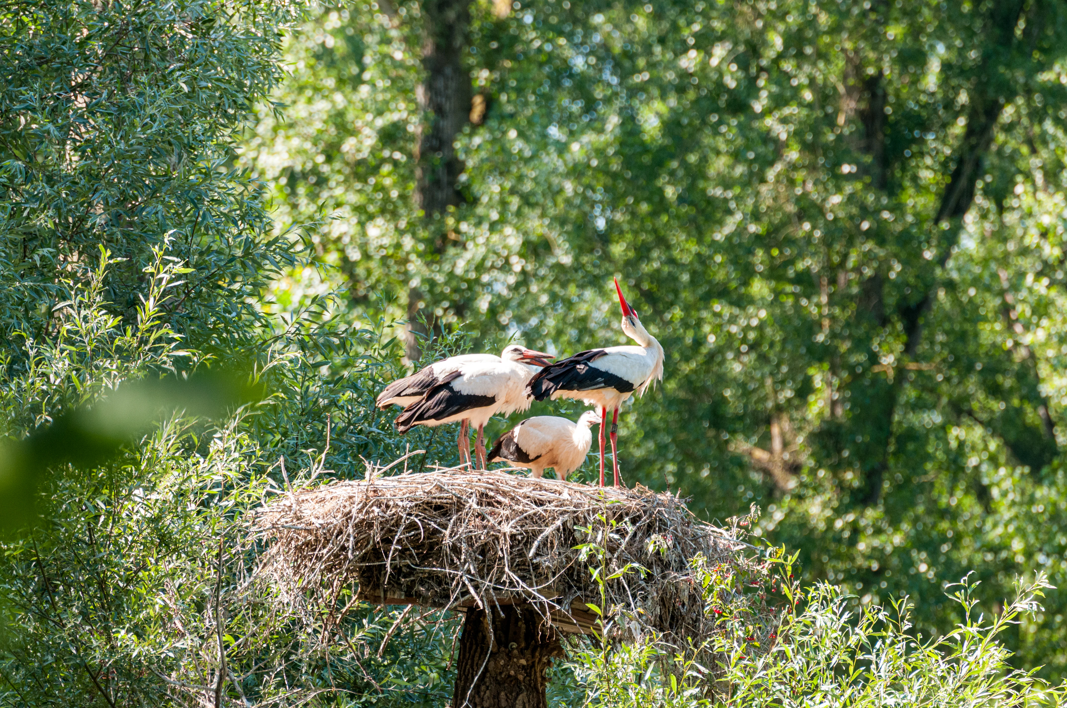
The wildlife of the Pfälzische Rheinauen reflects the ecological richness of the floodplain mosaic. Amphibians are especially prominent: the European tree frog and the crested newt are among the species for which the area is best known, alongside a wide range of other frogs, toads, and salamanders that inhabit the many oxbow lakes, gravel pits, and wet meadows. The return of the Eurasian beaver to the Upper Rhine has added another flagship species to the floodplain's fauna.
Birdlife is equally significant. The mosaic of water bodies, fields, and alluvial forest provides habitat for white storks, kingfishers, black kites, golden orioles, and numerous waterfowl. Some of the area's special protection sites are of statewide importance for diving and dabbling ducks, while the Wörther Rheinhafen regularly hosts large numbers of gulls as a roosting site. The area's bird protection zones support both breeding populations and seasonal migrants moving along the Upper Rhine corridor.
Among invertebrates, the floodplain supports rich dragonfly and butterfly communities, with rare species tied to clean standing water and to the structural diversity of the meadow-forest transition zones. Reptiles, fish, and small mammals benefit from the dense connectivity between aquatic and terrestrial habitats. This combination of flagship species and high overall biodiversity has secured the area's reputation as one of the most ecologically valuable floodplain complexes in southwestern Germany.
Pfälzische Rheinauen conservation status and protection priorities
The Pfälzische Rheinauen have been recognized as a landscape protection area since 1971, and over the following decades the area has accumulated one of the densest concentrations of additional nature designations in Rhineland-Palatinate. Numerous sub-areas are protected as nature reserves (Naturschutzgebiete), while at the European level the region forms a core element of the Natura 2000 network, with overlapping FFH sites and EU Bird Protection Areas.
The conservation value of the floodplain rests on several pillars. It preserves a near-continuous corridor of alluvial habitat along the Upper Rhine, including priority habitats under the EU Habitats Directive such as hardwood and softwood floodplain forests, wet meadows, and naturally eutrophicated standing waters. Many species recorded here are listed on national Red Lists, including amphibians, dragonflies, orchids, and birds.
Beyond traditional protection measures, conservation in the Pfälzische Rheinauen is increasingly linked to flood management, land-use policy, and the reclamation of former industrial sites. Gravel pits and clay quarries have been repurposed as nature reserves or ecologically valuable secondary habitats, while agricultural practices are being adapted to reduce pressure on the most sensitive sections. State-level programs such as Aktion Grün support habitat restoration, and institutions like the NABU Zentrum Rheinauen provide public education and guided tours.
Flood protection planning is now widely integrated with ecological goals: the restoration of broader, more natural floodplains is recognized both as an ecological imperative and as the most effective long-term flood mitigation strategy. This convergence of biodiversity protection, climate adaptation, and flood safety has turned the Pfälzische Rheinauen into a key reference area for integrated floodplain conservation in Germany.
Pfälzische Rheinauen cultural meaning and human context
The Pfälzische Rheinauen carry a strong cultural and historical imprint alongside their natural value. The floodplain has been a working landscape for centuries, with agriculture, fishing, and river transport defining life along the Rhine long before modern conservation efforts. Old river arms, dike structures, and drainage channels are part of the regional cultural heritage, embodying generations of human adaptation to the floodplain's dynamic water regime.
The industrial era added a new dimension to this cultural identity. Gravel and sand mining reshaped the visible landscape from the early twentieth century onward, producing chains of artificial lakes that have themselves become part of local recreational culture. Clay extraction near Mechtersheim, Sondernheim, and Jockgrim created one of Europe's most important brickmaking centers, exemplified by the Ludowici brickworks, whose products reached global markets. The preservation of part of this industrial heritage in museums and reclaimed sites ties the area's ecological recovery to a broader story of regional identity and economic transformation.
Today, the floodplain is also a living cultural space for outdoor recreation, cycling tourism, and nature education, with marked long-distance routes, family-friendly trails, and visitor centers anchoring public engagement with the landscape.
Top sights and standout views in Pfälzische Rheinauen
Among the Pfälzische Rheinauen's strongest features are its extensive networks of oxbow lakes and alluvial forests, which together make the area one of the most biodiverse floodplain complexes in Rhineland-Palatinate. The dense overlap of national nature reserves, FFH sites, and EU Bird Protection Areas gives the region exceptional conservation significance within the Upper Rhine corridor.
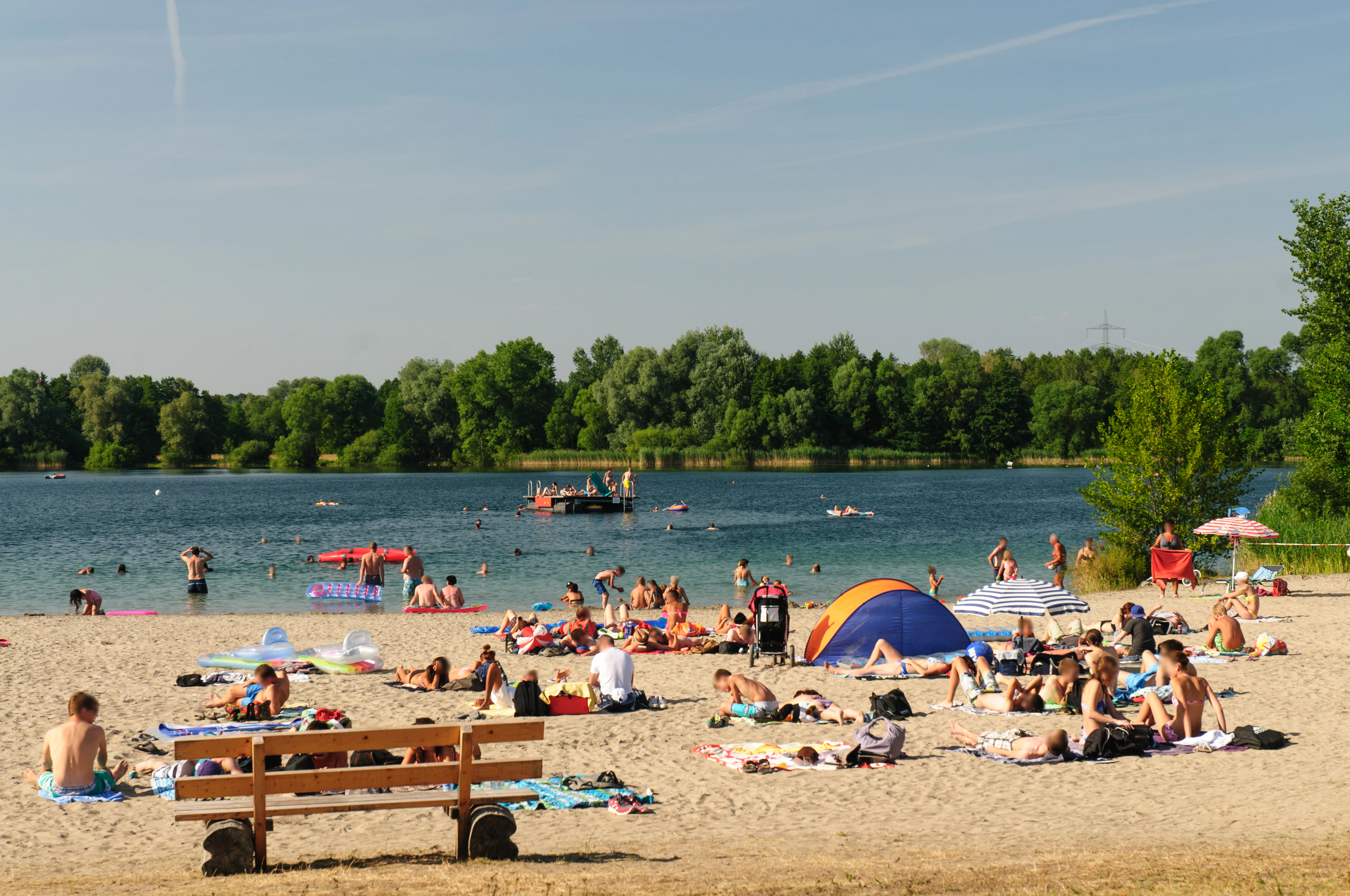
The area is also distinguished by the way former industrial sites have been reintegrated into a conservation framework: reclaimed gravel pits now serve as recreation lakes and amphibian habitat, while former clay quarries host wetland reserves. This transformation turns the region's industrial past into a present-day ecological asset.
Equally distinctive is the integration of flood protection, recreation, agriculture, and biodiversity management within a single protected landscape, making the Pfälzische Rheinauen a notable example of how a heavily used European floodplain can be managed for multiple outcomes simultaneously.
Best time to visit Pfälzische Rheinauen
The Pfälzische Rheinauen are an all-season landscape, but the character of a visit changes significantly with the seasons. Spring brings rising water levels, renewed vegetation, and active amphibian breeding in oxbow lakes and reclaimed pits, while the forests and meadows gradually turn green and bird activity peaks.
Summer is the most popular period for outdoor recreation, with warm weather favoring boat trips on the old river arms, cycling along the Rhine dikes, and swimming in the former gravel pit lakes. Late summer and early autumn are often especially rewarding for waterbird observation, as migrating species concentrate along the floodplain.
Autumn brings changing leaf colors in the hardwood floodplain forests and quieter trails, while winter can highlight the open structure of the meadows and flooded plains, with occasional high-water events that underline the dynamic relationship between the Rhine and its floodplain.