
Beaches
Park geography
Mapped terrain, environmental classifications, and coastal landscape boundaries
Structured Geographic Profile of Apostle Islands National Lakeshore in Wisconsin
Examine the technical geographic layout and environmental composition of Apostle Islands National Lakeshore. This profile details the land and marine surface measurements, coastal island structures, and regional habitat classifications that define the physical scope of this protected landscape.
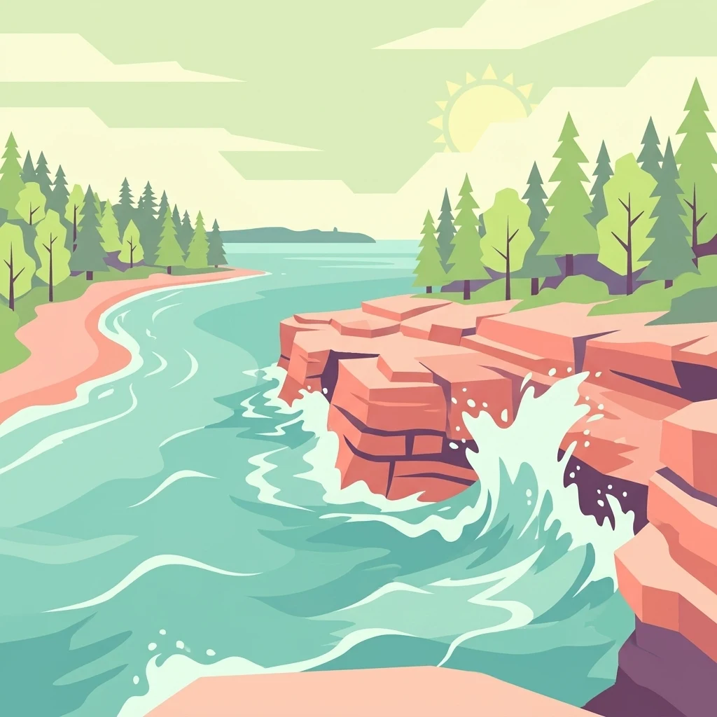
A Lake Superior archipelago of red sandstone, sea caves, historic lighthouses, and old-growth forest islands in northern Wisconsin.
Apostle Islands National Lakeshore
Apostle Islands National Lakeshore is a U.S. national lakeshore made up of 21 islands and a stretch of Lake Superior shoreline in northern Wisconsin, near the town of Bayfield. The protected area covers roughly 69,540 acres, of which about 42,308 acres are land and the remainder is Lake Superior water extending a quarter-mile from more than 150 miles of rugged shoreline. The islands rise out of the western end of Lake Superior and are composed largely of red sandstone shaped by glaciation and centuries of wave erosion. That geology has produced the lakeshore's most striking features: sculpted sea caves, sandspits, tombolos, and barrier beaches. Inland, the islands hold elements of northern hardwood forest with pockets of old growth and boreal influence, supporting a mix of mammals and birds typical of the Upper Great Lakes. The lakeshore is also recognized for an unusual concentration of historic lighthouses, more than any other unit of the National Park Service, and for the Gaylord Nelson Wilderness that protects most of the island land. Madeline Island, originally part of the Apostle Islands group, sits outside the national lakeshore; a portion of it is preserved as Big Bay State Park.
- Location
- United States of America
- Park type
- Protected landscape
- Established
- 1970
- Area
- 281.4 km²
Location overview
Protected area records for Wisconsin and the United States
Apostle Islands National Lakeshore Location and Regional Geography
Apostle Islands National Lakeshore connects recorded memberships across the United States and Wisconsin. Protected area records confirm coastal, island, and marine geographic status.
- Countries
- United States of America
- Regions
- Wisconsin
- Primary location
- Wisconsin
- Geographic setting
- Coastal · Island · Marine
Boundary and coordinates
Mapped geography, surface area, and perimeter measurements
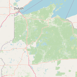
Apostle Islands National Lakeshore Boundary Map and Spatial Extent
Interactive boundary geometry establishes clear spatial context across the lakeshore. Accompanying measurements detail total area, perimeter length, and coordinate spans without survey claims.
- Boundary area
- 168.5 km²
- Boundary perimeter
- 249 km
- Northernmost point
- 47.0807° N
- Southernmost point
- 46.7021° N
- Easternmost point
- 90.3928° W
- Westernmost point
- 91.0515° W
- Geographic centre
- 46.9644° N, 90.6498° W
- North–south span
- 42.1 km
- East–west span
- 50.2 km
Terrain and natural features
Explore lowland relief classifications and documented natural features within the park
Apostle Islands National Lakeshore Terrain and Named Natural Features
This protected area features stored lowland terrain classifications alongside recorded natural features located within the boundary. Linked feature cards supply names, types, measurements, and spatial relationships for each entry.
Selected named natural features
Lakes
Lake Superior
184 m
Viewpoints
Lunch Beach
Viewpoints
Caves Viewpoint
Beaches
Little Sand Bay Beach
Islands
Long Island
186 m
Environmental setting
Temperate climate, lowland relief, and lacustrine water classifications across island habitats
Apostle Islands National Lakeshore Environmental Classifications and Landscape Settings
Recorded habitat types, landscape features, and climatic zones form complementary perspectives on the physical setting of Apostle Islands National Lakeshore. Stored classifications connect recorded categories to relevant atlas destinations for broader regional exploration.
- Relief
- Lowland
- Climate
- Temperate
- Water
- Major water bodies
- Forest cover
- Partial forest
- Seasonality
- Seasonal
Landscape features
Islands · Coast · Beach · Cliffs · Cave · Lakes · Forest
Habitat types
Temperate coniferous forest · Temperate broadleaf forest · Boreal forest · Lacustrine habitat · Coastal habitat
Park atlas
Compare surrounding Great Lakes landscapes and related conservation lands
Parks Near Apostle Islands National Lakeshore And Regional Protected Areas
Continue exploring regional park geography by comparing protected areas adjacent to Apostle Islands National Lakeshore. Broadening the geographic scope reveals connected wilderness terrain and complementary shoreline habitats across the wider Upper Great Lakes.
Wildlife reserveBayfield County
48 km away#1 closest
Southwest

Rainbow Lake Wilderness: Protected Forest and Lake Mosaic in Bayfield County
Exploration of a designated wildlife reserve in northern Wisconsin
Rainbow Lake Wilderness presents a deeply forested landscape in northern Wisconsin, marked by a high density of sixteen named lakes and numerous ponds. Managed to maintain its natural character, this protected area in Bayfield County provides an essential look at the intersection of glacial geography, old-growth hardwood stands, and quiet aquatic habitats within a larger federal forest context.
- Area
- 28.9 km²
- Established
- 1975
- IUCN
- Ib
- Relief
- Upland
Wildlife reserveBayfield County
51 km away#2 closest
Southwest
Porcupine Lake Wilderness: Mapping the Protected Forest and Glacial Basins of Bayfield County
A federally designated wildlife reserve and forest landscape
Examine the geographic composition of Porcupine Lake Wilderness. This protected area features a dense network of glacial lakes, including the namesake Porcupine Lake and Eighteen Mile Spring Pond, surrounded by a rolling landscape of northern hardwoods and white pine. The mapped boundaries highlight a roadless wilderness that serves as a core forest habitat in northern Wisconsin.
- Area
- 17.99 km²
- Established
- 1984
- IUCN
- Ib
- Relief
- Upland
Nature reserveWisconsin
About 89 km away#3 closest
West
Lake Superior National Estuarine Research Reserve: Protected Landscape and Map Context
Freshwater estuarine geography in northwestern Wisconsin
Spanning the confluence of the St. Louis River and Lake Superior, this nature reserve preserves expansive coastal marshland, forested bluffs, and rare sand dune ecosystems. The area serves as a critical freshwater research site within the Great Lakes region, showcasing unique transitions between forest types and complex hydrologic structures shaped by wind driven seiche events.
- Area
- 67.57 km²
- Established
- 2010
- Relief
- Lowland
- Scope
- Mixed
National parkKeweenaw County
119 km away#4 closest
Northeast
Isle Royale National Park: Protected Landscape Atlas and Geographic Context
Explore mapped boundaries and natural terrain of this national park.
Isle Royale National Park offers a distinct opportunity for understanding protected landscapes through detailed map exploration. As a national park within Keweenaw County, its geographic identity and mapped boundaries provide valuable context for regional geography and atlas-based discovery. Investigate the natural terrain and protected land features that define this unique area, contributing to a richer comprehension of the surrounding protected areas.
- Area
- 2,314 km²
- Established
- 1940
- IUCN
- Ib
- Visitors
- 29K annual
Protected landscapeMichigan
About 137 km away#5 closest
Southeast
Ottawa National Forest: Mapped Geography and Protected Landscape Context in Michigan
Glacial watersheds and waterfall corridors of the Upper Peninsula
Ottawa National Forest represents a primary protected landscape within the western Upper Peninsula of Michigan. This atlas entry covers its hydrological significance, ranging from Lake Superior tributaries to regional drainage divides, alongside its role in preserving old-growth white and red pine stands within a broader boreal forest mosaic.
- Area
- 4,020 km²
- Established
- 1931
- IUCN
- VI
- Relief
- Upland
Wildlife reserveMichigan
182 km away#6 closest
East
McCormick Wilderness: Protected Forest and Hydrology in Michigan's Upper Peninsula
A federally protected wildlife reserve and river headwaters landscape
Centrally located within the western Upper Peninsula of Michigan, McCormick Wilderness preserves 17,000 acres of dense, regrown northern forest. The area is defined by its unusual density of river headwaters, providing significant ecological value as a quiet, roadless tract within the Ottawa National Forest network.
- Area
- 69 km²
- Established
- 1987
- IUCN
- Ib
- Relief
- Upland
National parkMinnesota
184 km away#7 closest
Northwest
Voyageurs National Park: Minnesota's Mapped Protected Landscape and Geography
Explore the atlas context and mapped park boundaries of Voyageurs National Park.
Voyageurs National Park in Minnesota is a key protected area offering rich geographic discovery. As a designated National Park, it provides a unique lens through which to study regional landscapes and mapped natural terrain. Users can delve into its protected boundaries and understand its specific identity within the broader Minnesota geography, making it a vital point for atlas-focused exploration.
- Area
- 883 km²
- Established
- 1975
- IUCN
- II
- Visitors
- 239.7K annual

Protected landscapeUpper Peninsula of Michigan
254 km away#8 closest
East
Hiawatha National Forest: Geographic Overview and Protected Area Map of the Upper Peninsula
Coastal forest landscape and wilderness river corridors.
Hiawatha National Forest spans significant portions of the Upper Peninsula of Michigan, bridging the gap between northern hardwood forests and the boreal environments of the Great Lakes. This protected landscape encompasses extensive shorelines along Lake Superior, Lake Michigan, and Lake Huron, alongside six wilderness areas and five designated wild and scenic rivers.
- Area
- 3,621.27 km²
- Established
- 1931
- IUCN
- VI
- Relief
- Lowland
MoriAtlas Explorer
Explore the Geographic Boundaries of Apostle Islands National Lakeshore
Delve into the mapped terrain and natural features of Apostle Islands National Lakeshore through the MoriAtlas collection. Understand the spatial relationships between this Wisconsin archipelago, its protected wilderness zones, and the surrounding Lake Superior geography for a comprehensive perspective on this unique maritime landscape.
Browse next
Global natural geography
Explore related park routes
Explore MoriAtlas Global ParksBrowse All MoriAtlas ParksGlobal Park Map DiscoveryMoriAtlas: Browse All CountriesBrowse All MoriAtlas ContinentsNational Park Environment AtlasGrand Canyon National Park AtlasYellowstone National Park AtlasYosemite National Park Atlas and GeographySerengeti National Park AtlasGalápagos National Park Protected LandscapeBanff National Park Geography and AtlasKruger National Park Atlas EntryUluṟu-Kata Tjuṯa National Park AtlasExplore Uluru-Kata Tjuta National Park GeographyPlitvice Lakes National Park AtlasFiordland National Park Protected LandscapeGreat Smoky Mountains National Park AtlasAfghanistan National Parks and Protected AreasAlbania National Parks and Protected AreasAlgeria National Parks and Protected AreasAmerican Samoa National Parks and Protected AreasAndorra National Parks and Protected AreasAngola National Parks and Protected AreasAntarctica National Parks and Protected AreasAntigua and Barbuda Park List