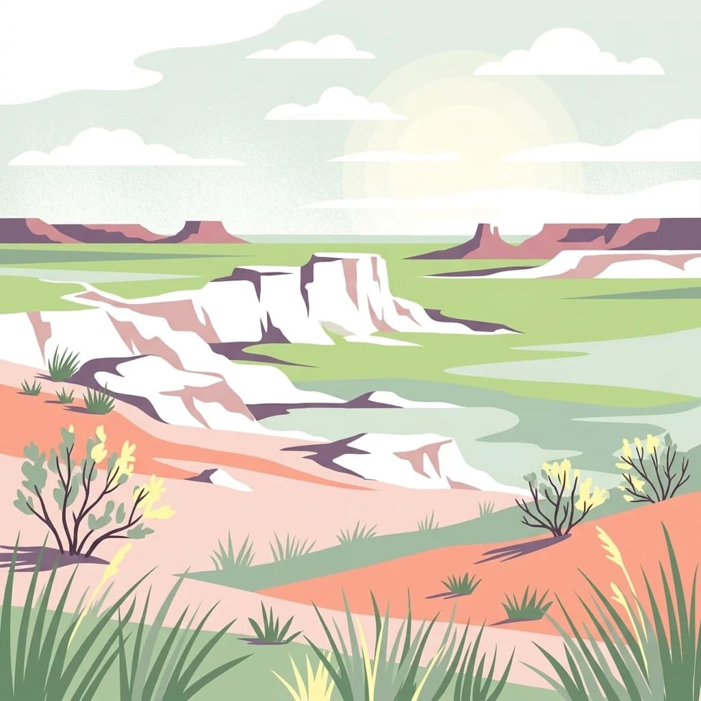
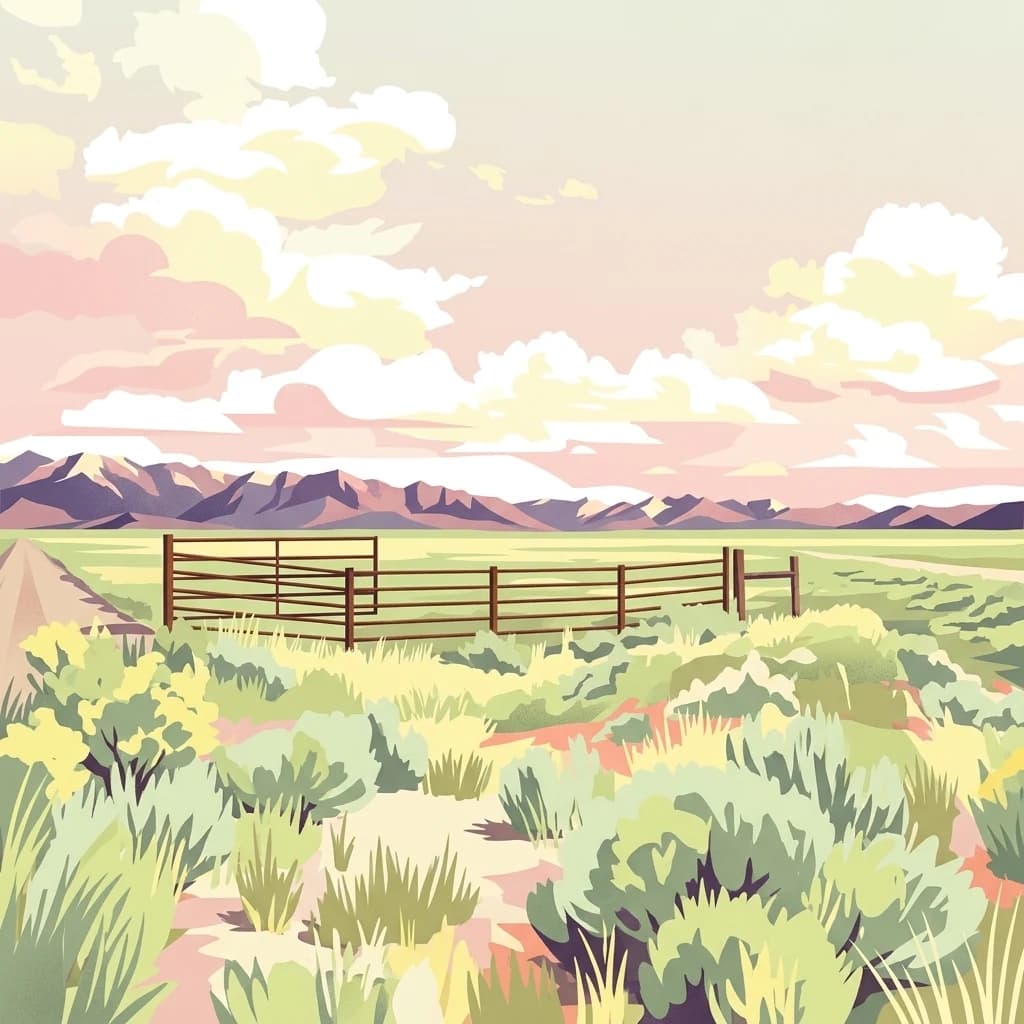
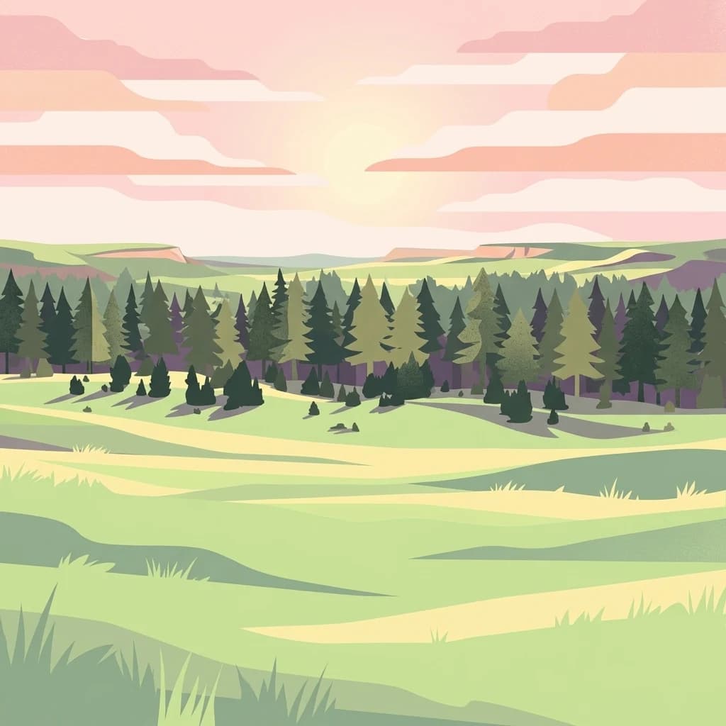
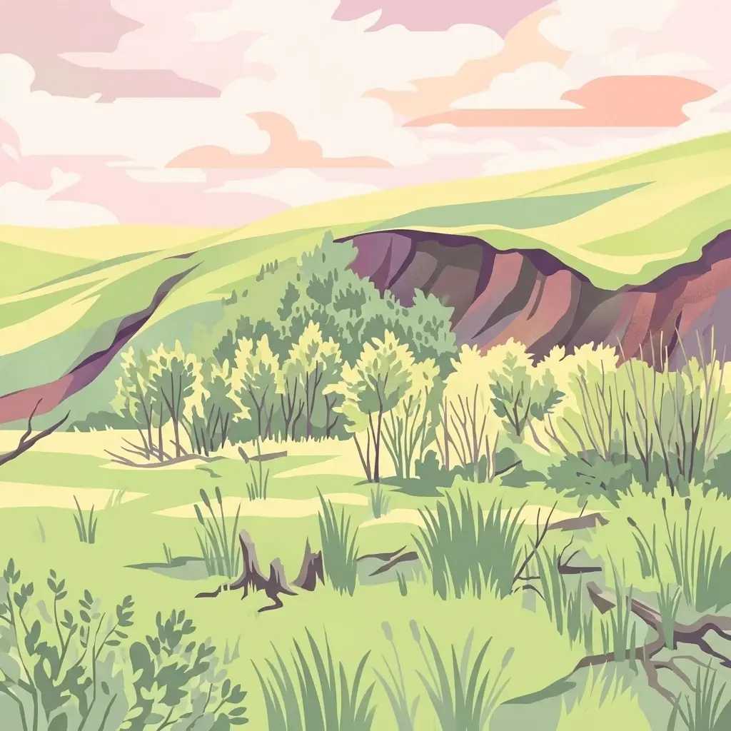
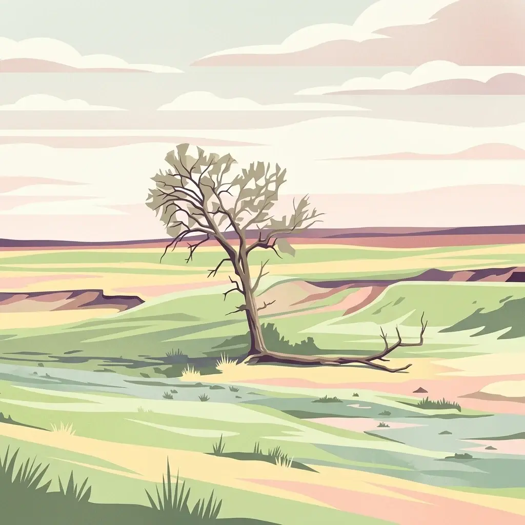
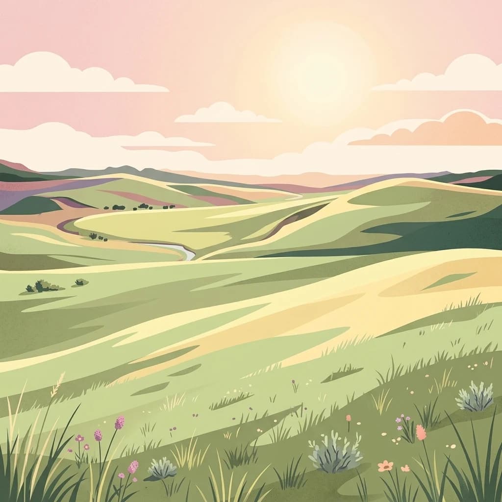
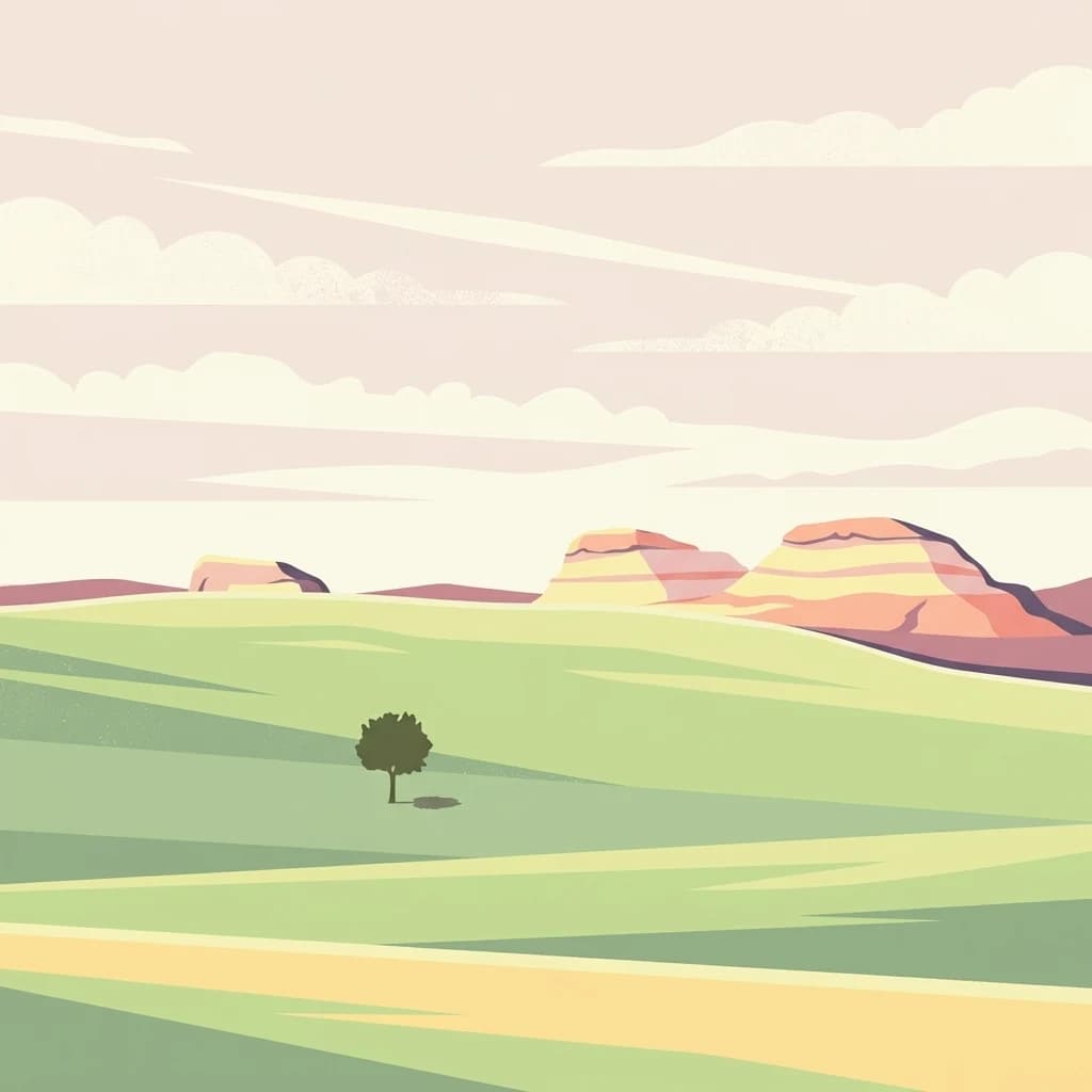
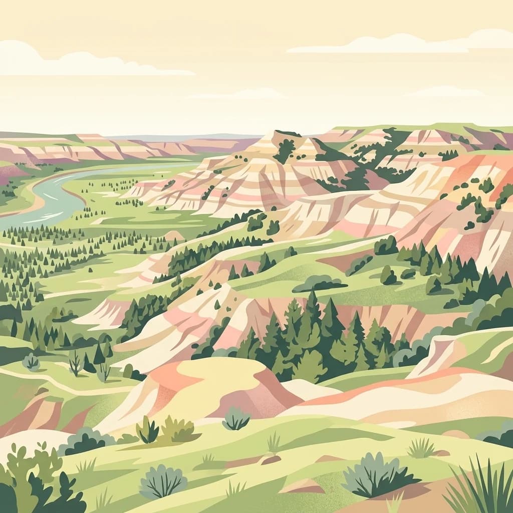
Vast mixed-prairie and badlands landscape of southwestern South Dakota, encircling Badlands National Park.
Buffalo Gap National Grassland
Buffalo Gap National Grassland is a federally protected National Grassland covering a vast area of southwestern South Dakota in the United States. It is the second largest National Grassland in the country, surpassed only by the Little Missouri National Grassland in North Dakota, and it stretches across parts of Fall River, Pennington, Jackson, and Custer counties.
The landscape is defined by wide-open mixed-grass prairie punctuated by chalky, eroded badlands formations characteristic of the surrounding region. Managed by the U.S. Forest Service as part of the Nebraska National Forest system, the grassland surrounds Badlands National Park and lies near many of the Black Hills' most iconic natural and cultural landmarks, including Mount Rushmore, Wind Cave, and the Black Elk Wilderness.
Beyond its scenic and geological appeal, the grassland is notable for conservation work, including the federal government's most successful black-footed ferret reintroduction program in the Conata Basin area, and for its role in preserving a working Great Plains landscape shaped by grazing, wildlife, and a rich paleontological record.