Mori Atlas logo
Park earthquake history

A structured historical catalogue documenting recorded tremors by magnitude, depth, and epicentre location.

Recorded Seismic Activity and Earthquake History Near Calanques National Park in Southern France

Review a detailed collection of recorded seismic events associated with the geography of Calanques National Park in the Bouches-du-Rhône department. Each entry links historical tremor data including magnitude, focal depth, and spatial proximity to this Mediterranean coastal landscape. This resource serves as a transparent reference for historical earthquake occurrences near the park without providing hazard assessments or predictive analysis.

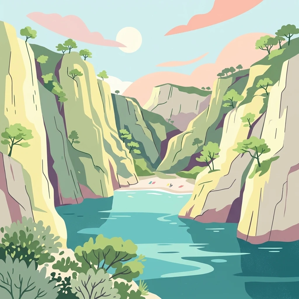
Illustration of limestone cliffs, turquoise water, and a small beach within a coastal calanque

Mediterranean limestone cliffs, coves, and marine ecosystems near Marseille

Calanques National Park

Calanques National Park is a French national park established in 2012 on the Mediterranean coast in the Bouches-du-Rhône department of Southern France. It encompasses the famous calanques—steep-walled limestone coves carved by erosion along the rugged littoral between Marseille, Cassis, and La Ciotat. The park covers approximately 520 square kilometers, of which 85 square kilometers is terrestrial land with the remaining area comprising marine environments. Notably, it is the first peri-urban national park in Europe that is both terrestrial and marine, situated immediately adjacent to France's third-largest city, Marseille. The park protects a landscape of dramatic white limestone cliffs descending into vivid blue Mediterranean waters, alongside islands, hidden beaches, and karst cave systems. Its cultural significance spans prehistoric human occupation dating back to the Lower Paleolithic, with the remarkable Cosquer Cave containing cave art from approximately 27,000 years ago.

Location
France
Park type
National park
Established
2012
Area
520 km²
Calanques National Park Protected Area

Compare regional seismic events by epicentre distance, focal depth, and recorded magnitude.

Explore Recorded Earthquake Epicentres Near Calanques National Park

Searchers can browse a comprehensive catalog of historical earthquakes with epicentres located within a specific geographic radius of Calanques National Park. Each entry provides verified data such as occurrence dates, recorded magnitudes, focal depths, reported locations, calculated distances to the park boundary, and direct database source links.

Sort by
Magnitude
Location

This page describes catalogued earthquakes associated with the park by epicentre location and distance. It does not establish causation, assess current danger, or predict future earthquakes.

No earthquake records match the current filters

Park atlas

Navigate global conservation territories and find new destinations for mapped exploration.

Explore More National Parks and Protected Landscapes Beyond Calanques National Park

After reviewing the regional geology of Calanques National Park, explore other remarkable protected landscapes across the global atlas. Natural area profiles provide essential geographic context, conservation details, and structured mapping to help plan your next environmental discovery.
Watercolor painting of a landscape with trees, hills, and a body of water
National park
About 65 km away#1 closest

East

Port-Cros National Park: French Mediterranean Island National Park & Marine Sanctuary

Discover mapped protected land and unique Mediterranean ecosystems.

Port-Cros National Park offers a glimpse into a pioneering model of integrated terrestrial and marine conservation within the Mediterranean. This park protects a distinctive island geography marked by rugged terrain, endemic species, and vital underwater habitats, including crucial posidonia meadows and rich marine life. Through MoriAtlas, explore the mapped boundaries and ecological significance of Port-Cros, understanding its role as a vital protected landscape in the European atlas.

Area
46 km²
Established
1963
IUCN
II
Visitors
1M annual
Watercolor illustration of a mountainous landscape featuring a river, rolling hills, and green vegetation
National park
138 km away#2 closest

Northeast

Mercantour National Park: Mapped Alpine Protected Landscape and Regional Geography

Explore France's dramatic Alps, park boundaries, and unique ecotones.

Mercantour National Park stands as a premier protected area within the French Alps, distinguished by its remarkable geographic diversity and ecological significance. This national park encompasses mountainous terrain featuring dramatic peaks, deep glacial valleys, and a unique ecotone where Mediterranean and Alpine ecosystems converge. MoriAtlas facilitates a detailed atlas-style exploration of Mercantour National Park, highlighting its mapped protected boundaries, varied natural landscapes, and its pivotal role in regional geography and conservation efforts.

Area
679 km²
Established
1979
IUCN
II
Visitors
800K annual
Watercolor illustration of green fields, a river, and mountains under a soft pink and yellow sky
National parkOccitanie
157 km away#3 closest

Northwest

Cévennes National Park: Explore its Mapped Terrain and Protected Landscape in Occitanie

Discover the unique geographic context and park boundaries.

Cévennes National Park, situated in Occitanie, France, offers a rich exploration of mid-mountain Mediterranean geography. As a protected landscape, its mapped terrain features dramatic limestone plateaus, deep river gorges, and distinct granite massifs. This entry provides essential geographic context for Cévennes National Park, highlighting its unique natural features and its significance as a protected area within the broader regional atlas.

Area
937 km²
Established
1970
IUCN
V
Visitors
800K annual
Watercolor illustration showing mountains, a winding river, and pine trees in a landscape
National park
163 km away#4 closest

North

Écrins National Park: Alpine Glaciated Terrain and Protected Landscape Details

Mapped boundaries and regional geography of a major French National Park.

Delve into Écrins National Park, a defining national park within the French Alps. This page provides a comprehensive overview of its protected landscape, focusing on its dramatic glaciated terrain, significant peaks such as the Barre des Écrins, and its position within the regional geographic context. Explore the mapped extent and understand the unique alpine environment of this protected area.

Area
925 km²
Established
1973
IUCN
II
Visitors
800K annual
Watercolor painting depicting mountains, a river, and trees under a light sky
National parkSavoie
235 km away#5 closest

Northeast

Vanoise National Park: Explore France's Original National Park in the Savoie Alps

Mapped Alpine geography, glacial terrain, and protected landscape.

Vanoise National Park is France's pioneering national park, a protected landscape of immense alpine beauty situated in the Savoie department. Renowned for its dramatic glacial terrain, over 100 peaks above 3,000 meters, and the iconic Alpine ibex, this park offers a profound geographic context. Explore its mapped boundaries and discover the unique atlas-level insights into France's mountainous protected areas and their ecological significance.

Area
534 km²
Established
1963
IUCN
II
Relief
Mountain
Watercolor illustration depicting green valleys, forests, and distant mountain peaks
National park
272 km away#6 closest

Northeast

Gran Paradiso National Park: Italy's National Park Protected Landscape Atlas

Mapped boundaries and regional geography for a key Italian protected area.

Gran Paradiso National Park is a distinct national park entity within Italy, offering rich potential for atlas-driven geographic discovery. This MoriAtlas profile focuses on its protected landscape identity, providing essential context for understanding its mapped boundaries and its role within the regional geography of Italy. Explore the structured geographic details that make Gran Paradiso National Park a valuable component of any mapped landscape analysis.

Area
703 km²
Established
1922
IUCN
II
Relief
Mountain
Watercolor painting of a river winding through a valley with green fields, trees, and distant hills
Protected area
About 311 km away#7 closest

West

Parc Natural Comunal de les Valls del Comapedrosa: Andorra's Highest Protected Alpine Landscape

Explore the Pyrenean terrain and mapped boundaries of Andorra's summit park.

Parc Natural Comunal de les Valls del Comapedrosa is the primary high-altitude protected area in Andorra, defined by its rugged alpine terrain and the presence of Coma Pedrosa, the country's highest peak. This protected landscape offers a significant geographic anchor for exploring the Pyrenees, highlighting the unique mountain conservation efforts. Its mapped boundaries encompass dramatic valleys and steep ridges, providing a clear context for understanding Andorra's mountainous geography through a structured atlas lens.

Area
15.43 km²
Established
2003
IUCN
IV
Relief
Mountain
Watercolor illustration of a coastal landscape with green hills, shoreline, and blue sea under a pale yellow sky
National parkSardinia
313 km away#8 closest

Southeast

Asinara National Park: National Park Protected Landscape and Geographic Setting

Explore mapped terrain and protected area context within Sardinia.

Asinara National Park stands as a key protected landscape within the Italian national park system, located off the coast of Sardinia. This entry provides detailed geographic context, focusing on its mapped boundaries and the unique natural terrain that defines this island sanctuary. MoriAtlas facilitates a structured discovery of Asinara National Park, enabling users to understand its protected area status and its significant position within the broader regional geography of Sardinia for atlas exploration.

Area
51.7 km²
Established
1997
IUCN
II
Relief
Mixed relief
MoriAtlas Explorer

Continue Exploring Calanques National Park's Geography and Map Context

Delve deeper into the protected landscape of Calanques National Park. Examine its specific geographic features, mapped boundaries, and its place within the regional context of Bouches-du-Rhône. This atlas exploration aims to provide a structured understanding of this significant national park and its unique Mediterranean environment, facilitating broader discovery of protected areas.