Mountain saddles
Col des Trois Pics
320 m

Detailed analysis of park boundaries, marine extent, and coastal landscape distribution
Examine the technical geographic footprint of Calanques National Park, spanning 520 square kilometers of marine and terrestrial landscapes. This profile outlines the regional configuration within Bouches-du-Rhône, including terrain classification, coastal features, and specific natural sites located within its protected boundaries.
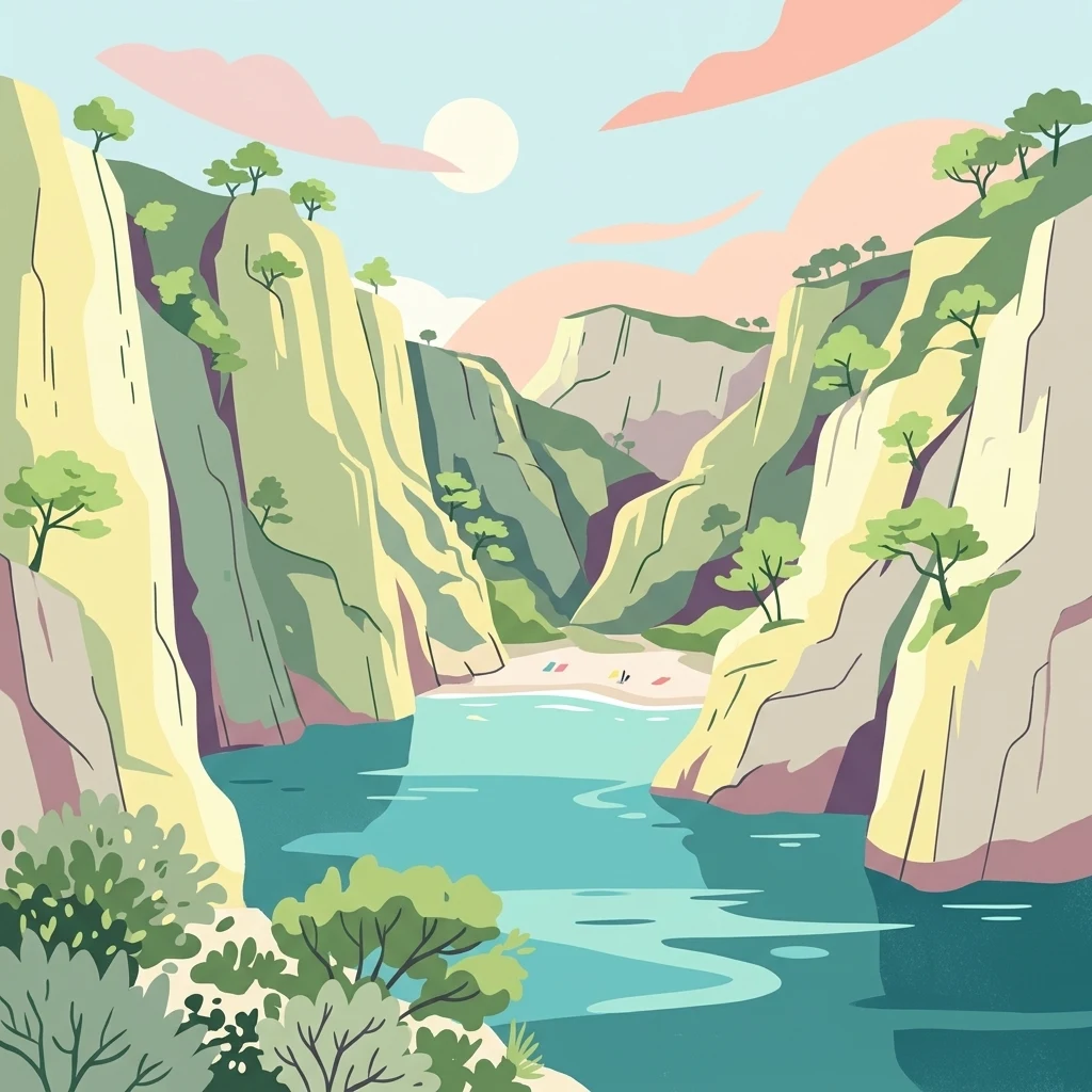
Mediterranean limestone cliffs, coves, and marine ecosystems near Marseille
Calanques National Park is a French national park established in 2012 on the Mediterranean coast in the Bouches-du-Rhône department of Southern France. It encompasses the famous calanques—steep-walled limestone coves carved by erosion along the rugged littoral between Marseille, Cassis, and La Ciotat. The park covers approximately 520 square kilometers, of which 85 square kilometers is terrestrial land with the remaining area comprising marine environments. Notably, it is the first peri-urban national park in Europe that is both terrestrial and marine, situated immediately adjacent to France's third-largest city, Marseille. The park protects a landscape of dramatic white limestone cliffs descending into vivid blue Mediterranean waters, alongside islands, hidden beaches, and karst cave systems. Its cultural significance spans prehistoric human occupation dating back to the Lower Paleolithic, with the remarkable Cosquer Cave containing cave art from approximately 27,000 years ago.
Country and regional positioning within Bouches-du-Rhône
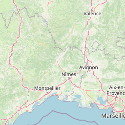
Mapping 520 square kilometers of combined terrestrial and marine territory.
Mapped saddles, peaks, bays, and rock formations across the protected landscape
Mountain saddles
320 m
Cave entrances
Bays
Peaks
Peaks
189 m
Capes
Stored Mediterranean climate, relief, and habitat classifications
Mountains · Cliffs · Coast
Montane forest · Coastal habitat · Marine habitat
Compare protected areas across the Bouches-du-Rhône department, tracing regional park geography and connected Mediterranean conservation landscapes.
Northwest

Regional Nature Reserve in Provence-Alpes-Côte d'Azur
Spanning over 300 hectares near Port-de-Bouc, this protected area preserves interconnected Mediterranean lagoons and surrounding marshlands. It offers a distinct geographic perspective on transitional coastal habitats situated within the heavily developed Bouches-du-Rhône department.
Northwest
Regional park geography and wetland conservation zones
Parc naturel régional de Camargue is a sprawling protected landscape at the confluence of the Rhône and the Mediterranean. This regional park contains significant saline lagoons, coastal dunes, and fertile marshes that serve as a crucial site for waterbird migration. Understand the interplay between traditional salt-making, pastoral ranching, and the strictly protected nature reserves that shape this delta territory.
East
A transboundary conservation zone spanning 87,500 square kilometers.
Sanctuaire Pelagos represents a unique collaborative effort in marine conservation across the Mediterranean. Spanning the waters between France, Italy, and Monaco, this protected maritime area is defined by its deep-sea canyons and nutrient-rich currents that sustain diverse cetacean populations. Its immense scale and international governance make it a focal point for understanding Mediterranean marine biodiversity and environmental policy.
North
Geology, mountain ridges, and Mediterranean ecosystems of Provence
Parc naturel régional du Luberon serves as a vital protected corridor in southeastern France. The park features three parallel limestone massifs, dramatic ochre formations, and fossil-rich plateaus. Its geography offers a case study in integrating sustainable land use with rich biodiversity across the Vaucluse and Alpes-de-Haute-Provence departments.
Northwest
Protected dry steppe landscapes in the French Crau region
Delve into the geography of the Réserve naturelle régionale de la Poitevine-Regarde-Venir, a specialized nature reserve that safeguards the distinctive pebbly coussoul of the Crau plain. The area represents a fundamental piece of Mediterranean pastoral history, balancing fragile steppe ecosystems with traditional agricultural meadows.
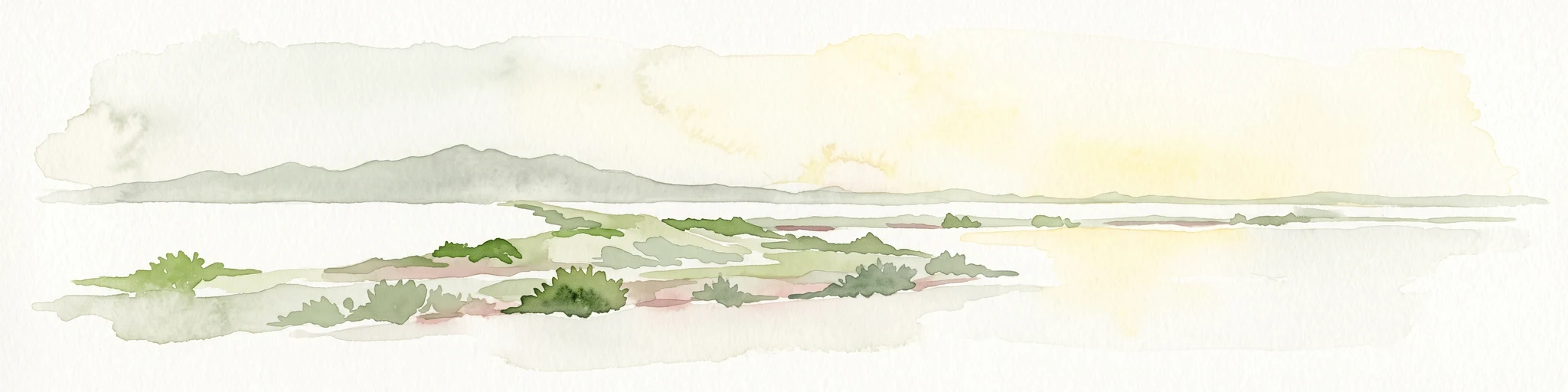
East
Mapped salt pans and wetland habitats on the Var coast.
The Salins d'Hyères consist of a coastal wetland network of salt pans and marshes near the Giens peninsula. This area offers a unique glimpse into the geography of the Var department, where centuries of salt production have created a diverse ecosystem of hypersaline basins, dunes, and coastal pine forests.
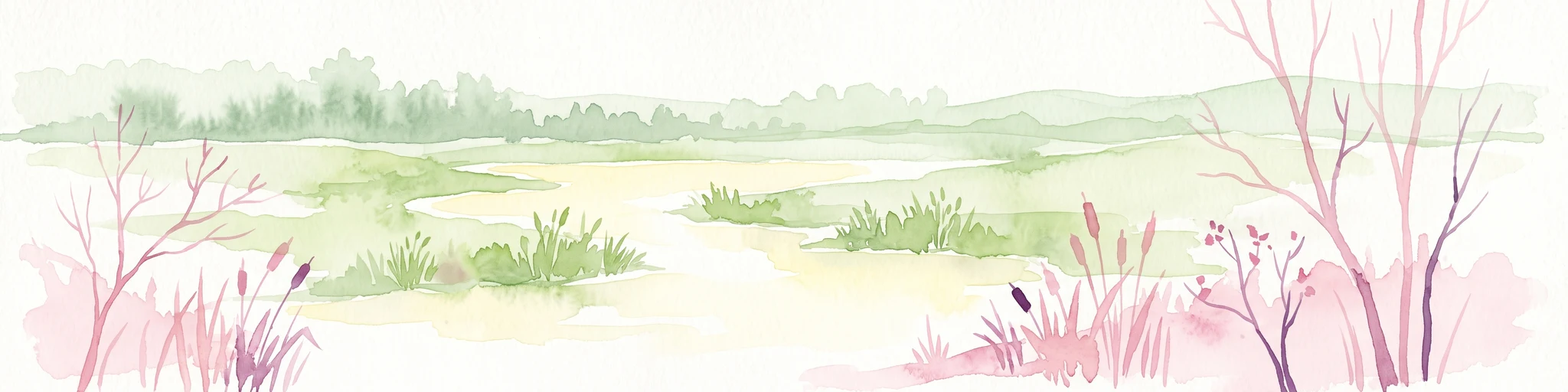
Northwest
A critical protected area and ecological research estate in the Rhône delta of France.
Located in the Bouches-du-Rhône department, the Réserve naturelle régionale de la Tour du Valat serves as a reference point for Mediterranean wetland science. The reserve features an intricate landscape of marshes, salt meadows, and woodland patches that support diverse birdlife and habitats. This protected area demonstrates the integration of active pastoral land use with habitat management on a significant deltaic estate near Arles.
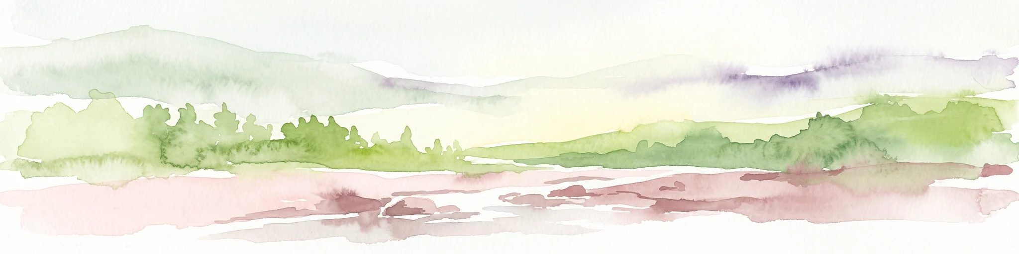
East
Mediterranean habitats, cork oak forests, and temporary pool networks.
This nature reserve in the Var department protects a rare confluence of Mediterranean maquis, stone pines, and sandstone-based vernal pools. As a primary mainland habitat for the Hermann's tortoise, the area offers a significant study of lowland ecology and traditional Provençal land use within the broader Massif des Maures context.
Delve deeper into the protected landscape of Calanques National Park. Examine its specific geographic features, mapped boundaries, and its place within the regional context of Bouches-du-Rhône. This atlas exploration aims to provide a structured understanding of this significant national park and its unique Mediterranean environment, facilitating broader discovery of protected areas.