Mori Atlas logo
Park earthquake history

Review documented seismic events and epicentre proximity records for this southern coastal wilderness area.

Recorded Earthquake History and Seismic Data for Cape Arid National Park, Western Australia

This historical catalogue aggregates recorded earthquake data associated with the geographic boundary of Cape Arid National Park. The collection provides details on individual seismic events, including date, magnitude, depth, and epicentre location, allowing for an analysis of historical activity near the granite headlands and sandplains of this remote Western Australian protected area.

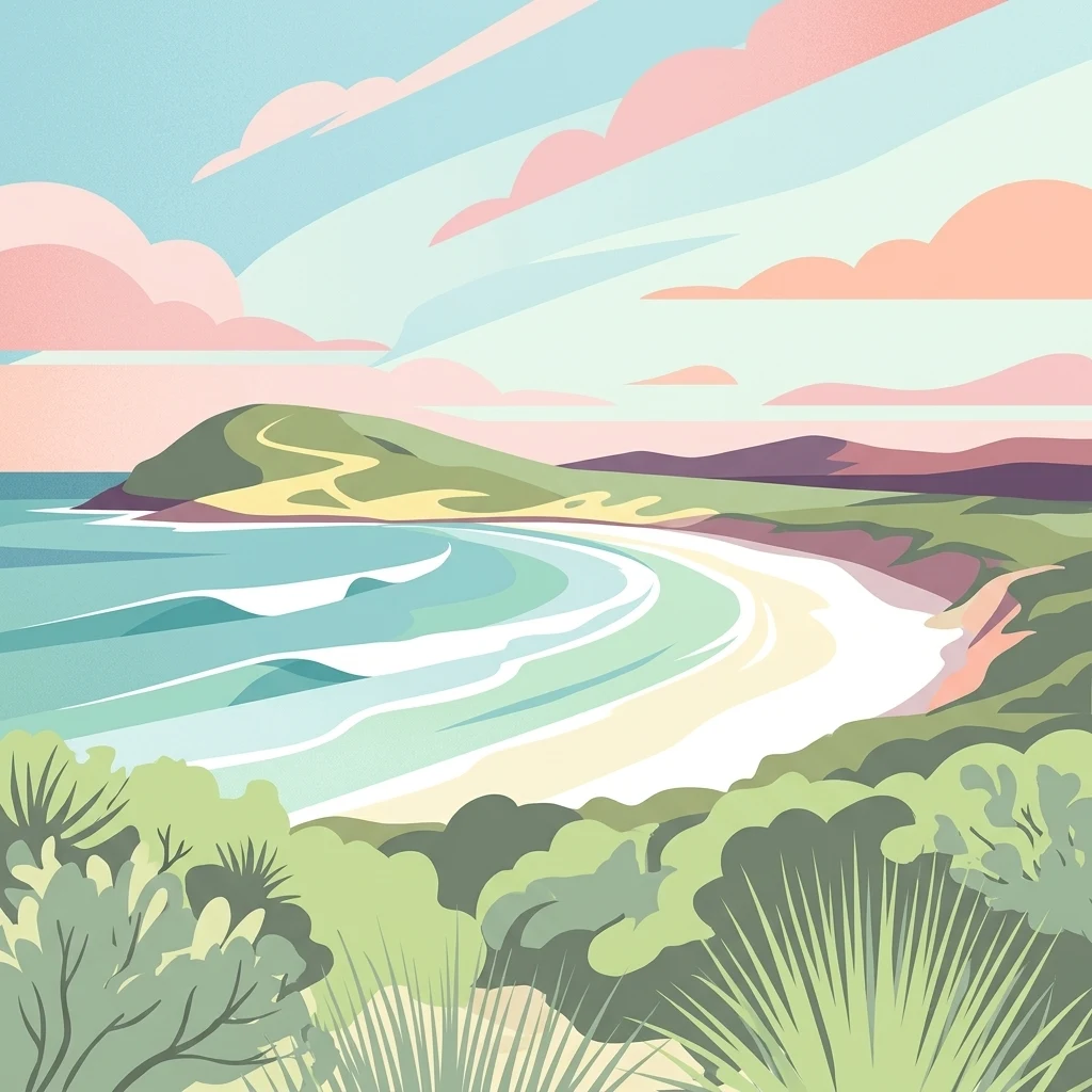
Stylized illustration of a coastal landscape with beach, ocean waves, green hills, and vegetation under a colorful sky

Remote coastal wilderness on Western Australia's far south coast

Cape Arid National Park

Cape Arid National Park is a vast coastal protected area spanning approximately 2,794 square kilometres along the southern coast of Western Australia. Located about 731 kilometres southeast of Perth and 120 kilometres east of Esperance, the park encompasses a dramatic landscape of sandy beaches, rocky granite headlands, and low hills that rise northward to meet the jagged Russell Range. The park derives its name from Cape Arid, a prominent coastal feature first named by French Admiral Bruni D'Entrecasteaux in 1792 and later anglicized by Matthew Flinders in 1802. This remote park protects an ecologically significant stretch of coastline featuring the eastern end of the Recherche Archipelago, with Israelite Bay marking its eastern boundary and Duke of Orleans Bay at its western end. The park is recognized as an important bird conservation site in Western Australia, supporting over 160 bird species within its diverse coastal heath, sandplain, and woodland habitats.

Location
Australia
Park type
National park
Established
1969
Area
2,794.5 km²
Highest point
594 m
Cape Arid National Park Atlas

Inspect Cape Arid National Park dates, depths, places, and park distances

Review recorded earthquakes around Cape Arid National Park

Cape Arid National Park extends across 2,794.46 km² of temperate coastal hills, mountains, beaches, and cliffs in Australia, reaching a recorded maximum elevation of 594 metres. This search provides traceable earthquake times, magnitudes, depths, place labels, and park-distance calculations, but those associations do not establish that the coast was affected or that conditions are hazardous now.

Sort by
Magnitude
Location

This page describes catalogued earthquakes associated with the park by epicentre location and distance. It does not establish causation, assess current danger, or predict future earthquakes.

No earthquake records match the current filters

Park atlas

Expand discovery beyond the Cape Arid National Park earthquake catalogue

Find more protected parks after Cape Arid National Park

Cape Arid National Park covers 2,794.46 km² of Australian mountains, hills, beaches, cliffs, and coast, reaching 594 metres. Its related destinations have distinct earthquake histories; the links do not claim matching geology, coastal effects, hazard, or prediction.
National parkWestern Australia
37 km away#1 closest

West

Cape Le Grand National Park: Western Australia National Park Geographic Context and Landscape Exploration

Mapped protected area boundaries and regional natural terrain discovery.

Cape Le Grand National Park is an important national park in Western Australia, providing a distinct focus for geographic and atlas-based discovery. Understanding its protected landscape identity and its placement within the state's natural geography offers valuable insight into regional conservation areas. This page serves as a canonical entry point for exploring the mapped features and the broader geographic significance of Cape Le Grand National Park, detailed for structured atlas exploration.

Area
318.01 km²
Established
1966
IUCN
II
Relief
Mixed relief
Marine protected areaWestern Australia
123 km away#2 closest

West

South-west Corner Marine Park: An Atlas of Deep-Sea Landscapes and Marine Protected Areas

Western Australia offshore marine and seabed geography

South-west Corner Marine Park represents one of the most ecologically diverse marine reserves in Australian Commonwealth waters. Stretching from the coast of Western Australia into the depths of the Southern Ocean, the park protects unique underwater terrain including extensive reef systems, submarine canyons, and isolated plateaus. This area serves as a primary migratory corridor for whales and provides a vital, mapped environment for threatened shark and seabird populations within the regional marine food web.

Area
271,833 km²
Established
2013
Climate
Temperate
Access
Remote access
National parkWestern Australia
156 km away#3 closest

West

Stokes National Park National Park: Mapped Boundaries and Regional Geography

Western Australia's protected landscape identity.

Stokes National Park represents a significant protected entity within the expansive geography of Western Australia. This detailed page provides users with essential mapping information, focusing on the park's designated boundaries and its role within the broader atlas of Australian conservation landscapes. Explore the specific geographic context that defines this national park and understand its natural landscape features.

Area
97.26 km²
Established
1976
IUCN
II
Relief
Lowland
National parkWestern Australia
184 km away#4 closest

West

Peak Charles National Park: A National Park in Western Australia's Mapped Landscape

Discover its protected area status and geographic setting.

Peak Charles National Park is a vital component of Western Australia's protected natural areas. This dedicated page provides an atlas-centric view, focusing on the park's geographic scope, its mapped boundaries, and the surrounding regional landscape context. It serves as an essential resource for understanding the park's protected land identity and its contribution to the broader geography of Western Australia.

Area
399.59 km²
Established
1979
IUCN
II
Relief
Mountain
National parkWestern Australia
243 km away#5 closest

West

Frank Hann National Park: Explore Its Protected Area Geography and Mapped Boundaries

Western Australia's protected national park landscape.

Frank Hann National Park is a designated national park providing crucial insight into Western Australia's protected natural landscapes. This entry focuses on its precise geographic scope and mapped boundaries, allowing for detailed atlas-based exploration. Understand the park's identity as a protected area and its position within the broader regional geography of this large Australian state, ideal for focused landscape discovery.

Area
675.5 km²
Established
1970
IUCN
II
Relief
Lowland
Watercolor illustration showing mountains in the background, green vegetation, and pink meadows
National parkWestern Australia
265 km away#6 closest

West

Fitzgerald River National Park: A Western Australian Protected Landscape of Global Botanical Importance

Discover its mapped terrain, endemic flora, and UNESCO Biosphere Reserve status.

Fitzgerald River National Park stands as a protected landscape of immense ecological value in Western Australia. This national park is celebrated for its extraordinary botanical diversity, featuring more endemic plant species than any other conservation reserve in Australia. Its varied terrain, from rugged mountain ranges to coastal cliffs, provides a rich tapestry of natural habitats. As a designated UNESCO Biosphere Reserve, it offers a unique opportunity to explore mapped geographic features and understand the critical role of protected areas in conserving rare flora and distinct Mediterranean ecosystems.

Area
2,972.11 km²
Established
1973
IUCN
II
Visitors
40K annual
Marine protected areaWestern Australia
269 km away#7 closest

West

Bremer Marine Park: An Offshore Atlas of Western Australia's Protected Marine Geography

Submarine canyon mapping and regional marine environment

Bremer Marine Park protects a vast, complex submarine landscape off the south coast of Western Australia. Dominated by the deep Bremer Canyon system, this protected area serves as a primary hub for studying deep sea geomorphology, coral gardens, and the nutrient-rich upwelling processes that define this unique section of the Southern Ocean.

Area
4,472 km²
Established
2013
IUCN
II
Relief
Mixed relief
National parkGoldfields-Esperance
320 km away#8 closest

Northwest

Goldfields Woodlands National Park: Explore Protected Area Geography and Mapped Boundaries

Discover the mapped landscape context of this national park.

Delve into Goldfields Woodlands National Park, a key protected area within the Goldfields-Esperance region. This resource provides detailed atlas-style information, focusing on the park's mapped geography, its protected status, and its role within the broader regional landscape. Understand its specific topographic features and its place in the natural atlas.

Area
646.28 km²
Established
2000
Climate
Arid
Scope
Terrestrial
MoriAtlas Explorer

Continue Exploring Cape Arid National Park's Geographic and Landscape Features

Delve deeper into the mapped geography and protected landscape of Cape Arid National Park. Understanding its position within Western Australia's regional context, from its dramatic coastlines to its ancient ranges, provides essential insight for anyone exploring Australia's protected areas and natural terrains through a geographic atlas. This destination offers a rich foundation for comprehending the interplay of protected lands and natural landscapes.

Global natural geography