Protected areaColorado
24 km away#1 closest
West

Comanche National Grassland: Geographic Atlas of Southeastern Colorado Protected Plains
Exploring canyon systems and prairie landscape boundaries
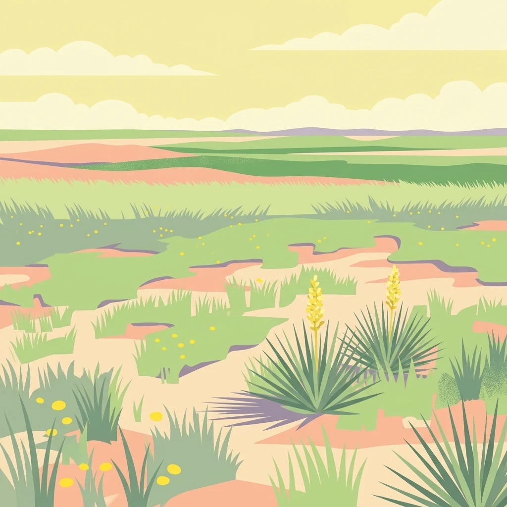
Spanning across Baca, Otero, and Las Animas counties, Comanche National Grassland represents a distinctive protected landscape of shortgrass prairie and deep canyon networks. The region is marked by the dramatic Purgatoire River and Carrizo Creek systems, offering a rich study in semi-arid topography, riparian corridors, and fossil-rich geological formations within the Colorado plains.
- Area
- 1,793.09 km²
- Established
- 1960
- Relief
- Upland
- Climate
- Temperate