
Bays
Park geography
Structured landscape analysis including coastal terrain, dune systems, and marine boundaries
Curonian Spit National Park Geographic Profile and Mapped Environmental Features in Lithuania
This geographic profile details the physical characteristics and land distribution of Curonian Spit National Park in Lithuania. Explore structured data regarding the total land and marine area, alongside a comprehensive record of internal peaks, bays, beaches, and viewpoints found across this temperate coastal landscape.
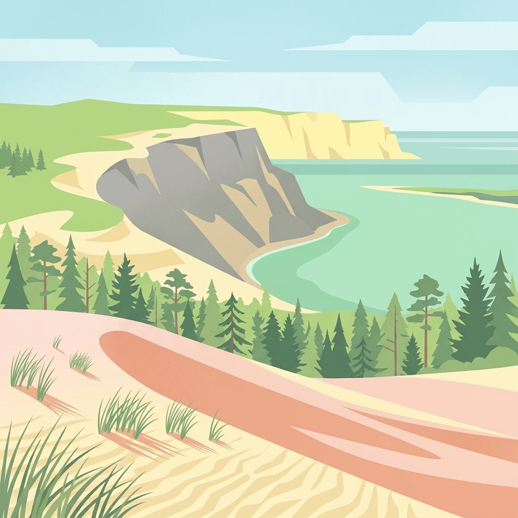
A UNESCO-listed peninsula of shifting sand dunes, coastal forests, and Baltic Sea ecosystems
Curonian Spit National Park
Curonian Spit National Park is one of Lithuania's five national parks, established in 1991 to protect the exceptional natural and cultural values of the Curonian Spit—a narrow peninsula sandwiched between the Curonian Lagoon to the east and the Baltic Sea to the west. This 264-square-kilometer protected area encompasses dramatic sand dunes, coastal forests, wetlands, and marine environments that together form one of Europe's most distinctive coastal landscapes. The spit itself is a geological formation built from sand deposited by ocean currents over millennia, with wind-shaped dunes creating an ever-changing terrain. The park was designated a UNESCO World Heritage Site in 2000 and forms part of the European Union's Natura 2000 network, recognizing its outstanding universal value as a living cultural landscape.
- Location
- Lithuania
- Park type
- National park
- Established
- 1991
- Area
- 264.7 km²
Location overview
National park location memberships and high-level geographic status
Geographic Overview of Curonian Spit National Park in Lithuania
Curonian Spit National Park is located within Lithuania according to recorded administrative data. Administrative records also document its transboundary, coastal, and marine status within the national park network.
- Countries
- Lithuania
- Primary location
- Lithuania
- Geographic setting
- Transboundary · Coastal · Marine
Boundary and coordinates
Mapped spatial geometry, area dimensions, and coordinate spans
Curonian Spit National Park Boundary Map and Geographic Extent
Interactive boundary mapping outlines the protected perimeter and spatial layout for geographic context. Accompanying dimensional metrics detail land and marine surface areas alongside coordinate center points.
- Boundary area
- 280.2 km²
- Boundary perimeter
- 115.4 km
- Northernmost point
- 55.7231° N
- Southernmost point
- 55.269° N
- Easternmost point
- 21.1509° E
- Westernmost point
- 20.9035° E
- Geographic centre
- 55.4767° N, 21.0606° E
- North–south span
- 50.6 km
- East–west span
- 15.6 km
Terrain and natural features
Mapped lowland relief classifications and recorded regional landforms
Curonian Spit National Park Terrain and Named Natural Features
Recorded terrain classifications categorize the lowland landscape alongside multiple named natural features located within the protected area. Linked feature cards supply names, types, measurements, and spatial relationships where documented.
Selected named natural features
Peaks
Vingio kopa
59 m
Peaks
Naglių kopa
59 m
Bays
Karvaičių įlanka
Viewpoints
Bulvikio ragas
Peaks
Angių kalnas
58.4 m
Environmental setting
Temperate lowland climate zones, dominant water systems, and coastal dune formations
Curonian Spit National Park Environmental Classifications and Physical Setting
Recorded landscape features, temperate habitat types, and forest classifications structure the physical setting of Curonian Spit National Park. Categorized relief profiles and dominant water presence connect directly to related protected-area atlas destinations.
- Relief
- Lowland
- Climate
- Temperate
- Water
- Water-dominated
- Forest cover
- Mostly forested
- Seasonality
- Year-round
Landscape features
Dunes · Beach · Coast · Forest · Woodland · Wetland
Habitat types
Temperate coniferous forest · Temperate broadleaf forest · Coastal habitat · Wetland · Dune habitat
Park atlas
Compare surrounding regional geography and connected coastal protected landscapes
Other Protected Areas and National Parks Near Curonian Spit National Park
Browsing other protected areas near Curonian Spit National Park reveals broader regional geography and connected coastal landscapes. Extending your geographic comparison across nearby national parks helps map the wider environmental spread of the Baltic coastal zone.
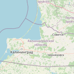
National parkKaliningrad Oblast
Park boundaries overlap#1 closest
Southwest

Curonian Spit National Park: Coastal Dunes and Baltic Protected Landscape
Explore a UNESCO World Heritage sand spit with unique terrain.
Curonian Spit National Park offers a remarkable study in coastal geography and protected landscapes, situated on one of the longest sand spits globally. This protected area within Russia's Kaliningrad Oblast features dynamic dune systems, distinctive forest formations, and serves as a vital corridor for migratory birds. Its UNESCO status underscores its international significance for natural heritage and landscape exploration, providing rich context for regional geography within the MoriAtlas platform.
- Area
- 66 km²
- Established
- 1987
- IUCN
- II
- Relief
- Lowland
Regional parkLithuania
Mapped location lies within the park boundary#2 closest
South

Nemunas Delta Regional Park: Mapping the Wetland Mosaic of the Lithuanian Coast
Explore the complex hydrology and floodplain geography of this Ramsar-listed regional park
Nemunas Delta Regional Park protects a unique river delta landscape shaped by seasonal floods and intricate water channels. Covering the lowlands where the Nemunas River reaches the Baltic Sea, the park is a primary site for ornithological research and wetland conservation, home to Rusnė Island and Lake Krokų Lanka. This protected area offers profound insight into coastal delta formation and the ecological importance of lowland floodplains.
- Area
- 239.5 km²
- Established
- 1992
- Relief
- Lowland
- Climate
- Temperate
National parkKaliningrad Oblast
About 18 km away#3 closest
Southwest
Curonian Spit National Park: Mapped Geography of Russia's Baltic Coastal Peninsula
Exploring the dune systems and coastal lagoon terrain
Curonian Spit National Park serves as a critical protected landscape located in Kaliningrad Oblast. Its geography includes active aeolian dune formations, ancient forest stands, and wetlands flanking the Curonian Lagoon. The park represents a vital intersection of geological history and international bird migration research within a narrow, fragile Baltic coastal environment.
- Area
- 66.21 km²
- Established
- 1987
- IUCN
- II
- Visitors
- 1M annual
National parkLithuania
50 km away#4 closest
Northeast
Žemaitija National Park: Mapped Glacial Terrain and Samogitian Protected Landscape
Explore protected areas and natural geography in Northwestern Lithuania.
Žemaitija National Park is a protected natural reserve in Lithuania, defined by its distinctive glacially sculpted landscape. This park preserves over 217 square kilometers of hilly terrain, featuring significant lake systems like Lake Plateliai and substantial forest cover interspersed with wetlands. Users can explore the park's unique topographic character, its mapped geographic features, and its role as a vital protected area within the Samogitian region, offering a rich context for atlas-based discovery.
- Area
- 217.54 km²
- Established
- 1991
- IUCN
- II
- Relief
- Highland
Nature reserveWarmian-Masurian Voivodeship
About 114 km away#5 closest
South

Rezerwat przyrody Jezioro Siedmiu Wysp: Protected Wetland Geography and Map Overview
Wetland ecosystems in the Warmian-Masurian Voivodeship
Examine the geographic layout of Rezerwat przyrody Jezioro Siedmiu Wysp, encompassing Lake Oświn, the Oświnka River corridor, and extensive peat-forming marshes. This protected area offers insight into Masurian wetland dynamics, including the interplay between open water, meadow grazing by konik polski horses, and critical habitats for diverse waterfowl populations across the Polish border region.
- Area
- 17.63 km²
- Established
- 1956
- Relief
- Lowland
- Climate
- Temperate
Nature reserveAkmenė District Municipality
About 122 km away#6 closest
Northeast
Kamanų valstybinis gamtinis rezervatas: Mapped Bog Systems and Protected Forest Landscapes
Geographic reference and protected habitat in Akmenė District Municipality
Deepen your understanding of Kamanų valstybinis gamtinis rezervatas, an IUCN Category Ia protected area in Lithuania. Trace the boundaries of its iconic raised bog, mineral islands, and deep spruce woodlands that define this significant northern regional landscape.
- Area
- 39.35 km²
- Established
- 1979
- IUCN
- Ia
- Relief
- Lowland
Protected landscapeWarmian-Masurian Voivodeship
135 km away#7 closest
Southwest
Park Krajobrazowy Wysoczyzny Elbląskiej: Mapping Upland Terrain and Protected Forest Zones
Geography of a distinctive morainic plateau in northern Poland
Investigate the natural landscape of Park Krajobrazowy Wysoczyzny Elbląskiej, a protected area in the Warmian-Masurian Voivodeship. Focus on the interplay between stream valleys, morainic ridges, and rare plant communities. This mapping resource details the ecological significance of the upland terrain and its transition toward coastal lowland borders.
- Area
- 137.32 km²
- Established
- 1985
- Relief
- Upland
- Climate
- Temperate
Nature reserveWarmian-Masurian Voivodeship
About 138 km away#8 closest
South
Rezerwat przyrody Mokradła Żegockie: Nature Reserve Map and Protected Landscape Overview
Lowland marshland habitat in the Warmian-Masurian Voivodeship of Poland
This nature reserve preserves a shallow, boggy depression surrounded by agricultural plains. It is recognized for its bird-rich ecosystem, containing open water, reedbeds, and willow shrubs that returned after the collapse of historic drainage works. Use this atlas resource to understand the park's terrain, mapped boundaries, and environmental role within the local geography.
- Area
- 0.336 km²
- Established
- 1991
- Relief
- Lowland
- Scope
- Terrestrial
MoriAtlas Explorer
Continue Exploring the Geography and Mapped Boundaries of Curonian Spit National Park
Deepen your understanding of the coastal environment within Curonian Spit National Park by reviewing detailed maps of its dunes, forests, and lagoon interfaces. MoriAtlas provides a structured look at the protected terrain and regional geography defining this unique Lithuanian national park landscape.
Browse next
Global natural geography
Explore related park routes
Explore MoriAtlas Global ParksBrowse All MoriAtlas ParksGlobal Park Map DiscoveryMoriAtlas: Browse All CountriesBrowse All MoriAtlas ContinentsNational Park Environment AtlasGrand Canyon National Park AtlasYellowstone National Park AtlasYosemite National Park Atlas and GeographySerengeti National Park AtlasGalápagos National Park Protected LandscapeBanff National Park Geography and AtlasKruger National Park Atlas EntryUluṟu-Kata Tjuṯa National Park AtlasExplore Uluru-Kata Tjuta National Park GeographyPlitvice Lakes National Park AtlasFiordland National Park Protected LandscapeGreat Smoky Mountains National Park AtlasAfghanistan National Parks and Protected AreasAlbania National Parks and Protected AreasAlgeria National Parks and Protected AreasAmerican Samoa National Parks and Protected AreasAndorra National Parks and Protected AreasAngola National Parks and Protected AreasAntarctica National Parks and Protected AreasAntigua and Barbuda Park List