
Mori Atlas logo
Park earthquake history

A chronological catalogue of regional seismic events associated with the Wind River Range

Historical Earthquake Records and Recorded Seismic Activity for the Fitzpatrick Wilderness

Access a structured collection of recorded seismic events that have occurred within the geographic vicinity of the Fitzpatrick Wilderness. Each entry provides event dates, calculated magnitudes, and depth measurements, allowing for a clearer understanding of the historical seismic context of this high-country region. The catalogue presents data derived from USGS records, organized to highlight the relationship between specific epicentre locations and this remote section of the Greater Rocky Mountains.

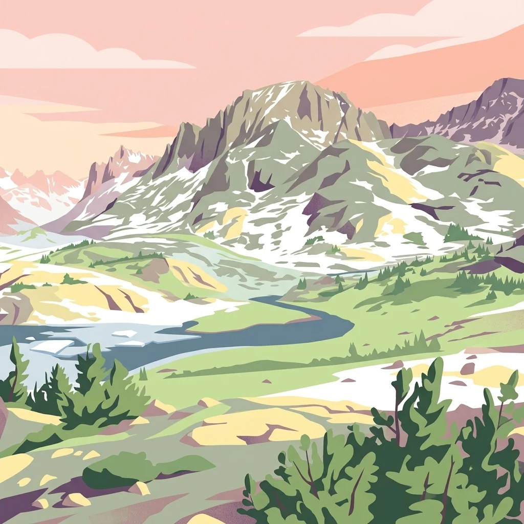
A stylized digital illustration of rugged snow-capped mountains, green alpine meadows, and a winding river under a soft pink and orange sky.

A high Rocky Mountain wilderness of glaciers, alpine lakes, and rugged ridgelines in Wyoming's Wind River Range.

Fitzpatrick Wilderness

The Fitzpatrick Wilderness is a federally designated wilderness area in western Wyoming, set within the Shoshone National Forest and forming the central and northern heart of the dramatic Wind River Range. Spanning a substantial portion of high terrain in Fremont and Sublette counties, the wilderness preserves one of the most rugged and glacially shaped landscapes in the Greater Rockies. The area is characterized by towering granite peaks, deep cirques, remnant glaciers, alpine meadows, and a network of clear mountain lakes and streams. Its elevation range, remoteness, and lack of roads or developed infrastructure place it firmly among the most serious backcountry environments in the continental United States, attracting experienced backpackers, climbers, and anglers. Originally managed as the Glacier Primitive Area, the landscape was redesignated under the Wilderness Act framework in 1976 and is now administered by the U.S. Forest Service. The Fitzpatrick Wilderness embodies the highest ideals of American wilderness preservation: a place where natural processes, ecosystems, and solitude are protected from motorized intrusion and large-scale resource extraction.

Location
United States of America
Park type
Protected landscape
Established
1976
Area
803.4 km²
Explore Fitzpatrick Wilderness Protected Landscape

Navigate Fitzpatrick Wilderness events by date, depth, and distance

Examine historical earthquake observations near Fitzpatrick Wilderness

Fitzpatrick Wilderness earthquakes are organized by epicentres and wilderness distance, not verified placement inside the protected area. Dates, magnitudes, depths, places, distance figures, and sources allow historical review without attributing wilderness effects, declaring seismic causation, identifying present hazard, or anticipating events.

Sort by
Magnitude
Location

This page describes catalogued earthquakes associated with the park by epicentre location and distance. It does not establish causation, assess current danger, or predict future earthquakes.

No earthquake records match the current filters

Park atlas

Continue from Fitzpatrick Wilderness earthquake history into the atlas

Discover further protected parks beyond Fitzpatrick Wilderness

A standalone protected-destination group appears after the earthquake evidence for Fitzpatrick Wilderness. Its pages do not claim shared wilderness designation, physical setting, earthquake history, geological attributes, proximity, seismic conditions, hazard, risk, or equivalent information depth.
Watercolor painting of a peaceful mountain valley landscape, showing a small winding stream in the foreground, grassy meadows, clusters of pine trees, and rolling mountain peaks in a soft, sunset-colored sky.
Protected landscapeWyoming
Park boundaries overlap#1 closest

North

Shoshone National Forest: A Comprehensive Map and Geography of America's Oldest National Forest

Rugged wilderness and glacial peaks in Wyoming

Discover the immense geographic scale of Shoshone National Forest, which protects a diverse landscape ranging from sagebrush valleys to 13,000-foot granite summits. This atlas overview details its role within the Greater Yellowstone Ecosystem and its expansive, federally designated wilderness areas, offering a clear perspective on its volcanic and glacial terrain.

Area
9,992.69 km²
Established
1891
IUCN
VI
Visitors
500K annual
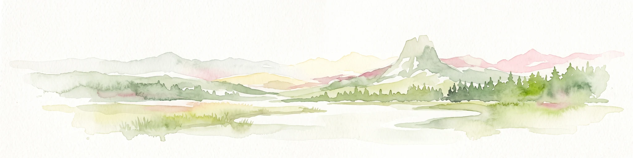
A pale, wide watercolor landscape illustration depicting mountain peaks above a line of evergreen trees and a flat foreground.
Protected areaWyoming
16 km away#2 closest

Southeast

Popo Agie Wilderness: Protected Landscapes in the Wyoming Wind River Range

High-altitude alpine terrain and glacial basins

The Popo Agie Wilderness in Wyoming encompasses a dramatic vertical landscape, ranging from forested valleys to alpine summits above 13,000 feet. This protected area features the iconic Cirque of the Towers, dense hydrological networks of glacial tarns, and expansive granite formations that anchor its identity within the Greater Yellowstone Ecosystem.

Area
412.3 km²
Established
1984
IUCN
Ib
Relief
Mountain
National parkUnited States of America
63 km away#3 closest

Northwest

Grand Teton National Park: Protected Landscape and Geographic Atlas Exploration

Explore the mapped terrain and regional park geography.

Grand Teton National Park is a protected landscape offering rich geographic discovery opportunities within the United States of America. This detailed entry facilitates an atlas-style exploration of its mapped boundaries, the surrounding regional geography, and its identity as a significant national park. Understand the specific landscape context and discover its placement within the broader natural terrain of North America.

Area
1,300 km²
Established
1929
IUCN
II
Visitors
2.8M annual
National parkWyoming
76 km away#4 closest

Northwest

Yellowstone National Park: US National Park Protected Landscape & Geographic Atlas

Explore mapped boundaries and regional natural landscape context.

Yellowstone National Park represents a significant protected landscape within Wyoming, designated as a US national park. This entry offers detailed insight into its geographic scope, mapped boundaries, and the unique natural terrain that defines it. Understand its role in regional geography and discover its protected-area identity through a structured atlas exploration, providing context for its conservation landscape.

Area
8,983.18 km²
Established
1872
IUCN
II
Visitors
4.7M annual
Wildlife reserveWyoming
89 km away#5 closest

Northwest

Jedediah Smith Wilderness: Protected Alpine Terrain and Teton Range Geography

Glacially sculpted high-country basins in western Wyoming

Spanning the western face of the Teton Range, the Jedediah Smith Wilderness serves as a federally protected buffer for iconic mountain landscapes. The region features dramatic cirques, hanging valleys, and dense subalpine forest habitats, forming an essential, roadless link within the broader Greater Yellowstone Ecosystem. Explore the terrain features and structural geography that define this remote high-country wilderness area.

Area
499.59 km²
Established
1984
IUCN
Ib
Relief
Mountain
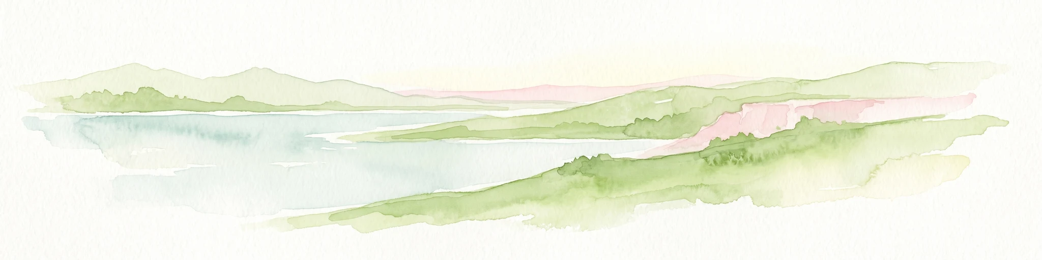
A watercolor painting showing a stylized landscape with a light blue lake, soft green rolling hills, and hints of red rock cliffs against a white background.
Protected areaWyoming
165 km away#6 closest

South

Flaming Gorge National Recreation Area: Protected Reservoir and Canyon Landscape Atlas

High desert geography and canyon terrain on the Wyoming and Utah border.

Flaming Gorge National Recreation Area features a complex geography where the Green River carves through vivid red sandstone cliffs. This protected area integrates large-scale reservoir management with mountain forest slopes and diverse river corridors, creating a unique mapped landscape that reflects the geologic character of the intermountain West.

Area
839.17 km²
Established
1968
Relief
Upland
Climate
Arid
Protected landscapeMontana
181 km away#7 closest

Northeast

Bighorn Canyon National Recreation Area: Maps and Protected Landscape Geography

A reservoir-anchored protected area in the Montana high desert

Defined by its striking contrast between deep blue reservoir water and sheer canyon walls, Bighorn Canyon National Recreation Area protects an essential arid landscape in the Mountain West. This region encompasses portions of the Pryor Mountains and the historic Bad Pass Trail, offering a window into the intersection of vast high-desert plains and rugged mountain terrain.

Area
486.82 km²
Established
1966
Visitors
217.7K annual
Relief
Upland
Wildlife reserveMontana
191 km away#8 closest

Northwest

Lee Metcalf Wilderness: Geographic Profile and Protected Landscape Boundaries in Montana

Mapping rugged alpine terrain across four distinct mountainous units

Located in southwestern Montana, the Lee Metcalf Wilderness serves as a cornerstone of ecological connectivity within the Greater Yellowstone Ecosystem. Spanning over 250,000 acres, this protected area features a unique fragmented geography consisting of the Bear Trap Canyon, Spanish Peaks, Taylor-Hilgard, and Monument Mountains units. The landscape is defined by its roadless mountain ridges, forested slopes, and deep river corridors, providing essential sanctuary for large mammal populations.

Area
1,029.07 km²
Established
1983
IUCN
Ib
Relief
Mountain
MoriAtlas Explorer

Continue Your Geographic Discovery of the Fitzpatrick Wilderness in Wyoming

Deepen your understanding of the Fitzpatrick Wilderness through an exploration of its high-elevation terrain and glacial features. Use this MoriAtlas record to study the boundaries and physical landscape of one of the most prominent protected areas in the Wind River Range of the Rocky Mountains.