Mori Atlas logo
Park earthquake history

A structured database of recorded seismic events identified by proximity to protected park landscapes.

Historical Earthquake Records Associated with Huanglong Scenic and Historic Interest Area

Explore a collection of recorded earthquake events linked by their epicentre location to the geography of Huanglong Scenic and Historic Interest Area. Each entry in this historical catalogue features essential event details such as recorded magnitude, depth, and distance from the protected park boundary. These data points provide a structured overview of regional seismic history as captured by geological monitoring sources.

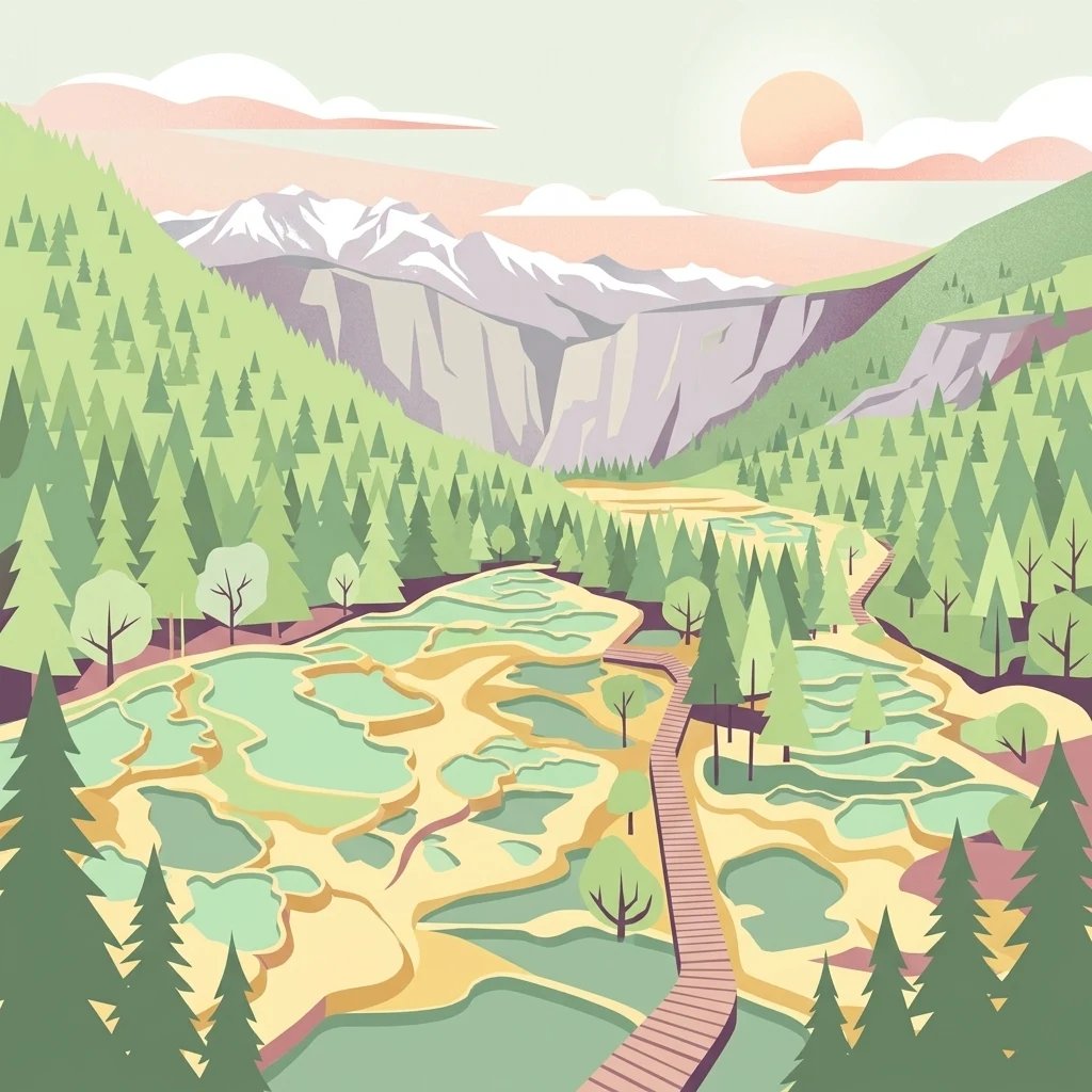
A flat-style digital illustration depicting a landscape with tiered turquoise travertine pools, a wooden boardwalk, surrounding pine forests, and distant snow-capped mountains under a soft sun.

A high-altitude wonder of colored travertine pools, snow peaks, and ancient forests in northern Sichuan.

Huanglong Scenic and Historic Interest Area

Huanglong Scenic and Historic Interest Area lies in the northern part of Sichuan Province in southwestern China, within Songpan County of the Aba Tibetan and Qiang Autonomous Prefecture. The protected area sits high in the Minshan Mountains, neighboring the better-known Jiuzhaigou Valley roughly one hundred kilometers away, and forms part of one of the most extraordinary karst and travertine landscapes anywhere on Earth. The area is defined by its spectacular sequence of mineral-rich pools, which shift in color through blues, greens, yellows, and whites depending on sunlight, angle, and surrounding scenery. Referred to poetically as the "fairy pool on Earth," these travertine formations are the centerpiece of a landscape that also includes deep gorges, dense forests, alpine meadows, cascading waterfalls, and snow-capped summits. Together, the colored pools, snow mountains, canyons, and forests have earned the area a reputation as a four-spectacle destination, with some traditions adding ancient temples and local culture to make a framework of seven defining features. Huanglong was inscribed as a UNESCO World Natural Heritage Site together with Jiuzhaigou in 1992. It is also recognized as a Chinese national geopark and rated among the country's highest-rated scenic areas. Beyond its visual drama, the reserve supports endangered wildlife such as the giant panda and the Sichuan snub-nosed monkey, giving it scientific and conservation significance that matches its cultural and aesthetic appeal.

Location
China
Park type
Protected area
Established
1992
Area
600 km²
Explore Huanglong Scenic and Historic Interest Area Geography

Inspect Huanglong Scenic and Historic Interest Area event records

Earthquakes near Huanglong Scenic and Historic Interest Area

Huanglong Scenic and Historic Interest Area’s earthquake catalogue associates reports by epicentre and distance from its Sichuan valley, without asserting occurrence inside the site. Event time, magnitude, depth, locality, separation, and sources provide historical context without assigning influence to travertine pools or heritage, declaring geological causation, stating current threat, or forecasting activity.

Sort by
Magnitude
Location

This page describes catalogued earthquakes associated with the park by epicentre location and distance. It does not establish causation, assess current danger, or predict future earthquakes.

No earthquake records match the current filters

Park atlas

Beyond Huanglong Scenic and Historic Interest Area earthquake history

More parks after Huanglong Scenic and Historic Interest Area

Continue from Huanglong’s earthquake collection to independently profiled protected places elsewhere in MoriAtlas. The list does not claim that those destinations share Sichuan travertine pools, high-altitude forests, snow peaks, scenic-historic designation, mountain geology, seismic evidence, geographic proximity, current hazard, or risk.
National parkChina
Park boundaries overlap#1 closest

Southeast

Giant Panda National Park: China's Premier Panda Habitat and Protected Landscape

Mapped terrain and conservation significance in the mountains of western China.

Giant Panda National Park is a critically important protected area in China, established to conserve the primary habitat for the giant panda. This national park, spanning a vast mountainous region across Sichuan, Gansu, and Shaanxi, integrates numerous former reserves into a unified landscape. It serves as a vital sanctuary, protecting approximately 80 percent of the world's wild panda population and offering deep insights into the geographic distribution and ecological requirements of these endangered animals.

Area
27,134 km²
Established
2020
IUCN
II
Relief
Mountain
A horizontal watercolor illustration depicting a soft, rolling landscape with green fields, a winding stream, a line of trees, and distant hills against a plain background.
National parkSichuan
Park boundaries overlap#2 closest

North

Jiuzhaigou National Park: Mapped Geography and Protected Area Overview in Sichuan, China

Travertine terrace systems and high mountain forest landscapes

Located on the edge of the Qinghai-Tibet Plateau, Jiuzhaigou is a protected landscape characterized by a network of clear alpine lakes known as haizi and extensive coniferous forest blocks. The park showcases a rare interplay of water and mineral-rich rock, creating expansive travertine dams and cascading waterfalls across its three main gullies. This atlas entry focuses on the regional geography, habitat distribution, and natural terrain that constitute the essential character of this prominent conservation area within the Min Mountains.

Area
720 km²
Established
1978
Relief
Mountain
Climate
Alpine
Nature reserveSichuan
139 km away#3 closest

South

Wolong National Nature Reserve: Mapping Sichuan's Rugged Mountain Protected Lands

A critical mountain nature reserve in the Qionglai range.

Delve into the geography of Wolong National Nature Reserve, a cornerstone of China's protected areas. This site offers insight into the vertical ecology of the eastern Qionglai Mountains, where steep river valleys and extensive bamboo forests characterize the transition toward the Tibetan Plateau. Access map-based insights into this essential wildlife corridor and its role in the larger regional landscape.

Area
2,000 km²
Established
1963
Relief
Mountain
Climate
Alpine
Nature reserveChina
About 338 km away#4 closest

East

Changqing Nature Reserve: Mountain Forest Geography and Conservation Mapping

A vital Qinling Range protected area in Shaanxi Province, China

This reserve provides a deep look at the biodiversity of the Qinling Mountains, featuring steep terrain, bamboo-rich slopes, and vital forest river corridors. It serves as a globally recognized model for protected area management and provides a habitat for rare species within its vertical landscape.

Area
300 km²
Established
1995
Relief
Mountain
Access
Access unknown
National parkQinghai
364 km away#5 closest

West

Sanjiangyuan National Park: Qinghai's High-Altitude Headwater Protected Landscape

Mapped geography of the Yellow, Yangtze, and Mekong river sources.

Sanjiangyuan National Park, situated in the high-altitude Qinghai region of China, is a crucial protected area established to safeguard the headwaters of three of Asia's most significant rivers: the Yellow, Yangtze, and Mekong. Covering an immense area with an average elevation exceeding 4,700 meters, the park preserves vital alpine wetlands, grasslands, and the source ecosystems that sustain hundreds of millions downstream. Its protected landscape identity is defined by its extreme elevation, vast marshlands, and its role as a critical water source, offering unparalleled opportunities for geographic and atlas-style exploration of pristine high-altitude terrain.

Area
190,700 km²
Established
2021
IUCN
II
Relief
Highland
A minimalist watercolor painting featuring soft, abstract layers of rolling green hills in the midground and pale, hazy mountain peaks in the background, set against a light background.
Nature reserveSichuan
About 559 km away#6 closest

Southwest

Sichuan Yading National Nature Reserve: Mapped Protected Landscapes in Western Sichuan

High altitude terrain, glaciated peaks, and alpine geography.

Sichuan Yading National Nature Reserve is a significant protected area in the Garzê Tibetan Autonomous Prefecture, home to the Three Holy Mountains and extensive glacial features. This entry details the reserve geography, focusing on the distribution of alpine meadows, high elevation forests, and the dramatic vertical landscape carved by the Litang River tributaries.

Area
3,815.06 km²
Established
1996
Relief
Mountain
Climate
Alpine
Nature reserveZhaotong
About 571 km away#7 closest

South

Dashanbao Black-necked Crane National Nature Reserve Geographic and Atlas Overview

Protected highland wetlands within the Zhaotong regional geography.

Dashanbao Black-necked Crane National Nature Reserve is a nationally significant protected area in Zhaotong, representing a rare high-elevation wintering habitat for migratory cranes. This rugged plateau landscape features shallow marshlands, alpine grasslands, and an interconnected system of lakes that support delicate highland ecological zones. Use this atlas resource to understand the park terrain and its formal conservation boundaries within the broader context of northeast Yunnan.

Area
192 km²
Established
1990
Relief
Mountain
Climate
Subtropical
Protected areaHunan
705 km away#8 closest

Southeast

Wulingyuan Scenic and Historic Interest Area: Quartz-Sandstone Peak Forest and Protected Geography

Explore the tectonic landscape and forest-covered plateau in Hunan Province.

Wulingyuan Scenic and Historic Interest Area represents a massive protected landscape in Hunan, China, defined by its extraordinary density of quartz-sandstone pillars. This atlas record documents the geological signature of these vertical rock formations, the surrounding gorge networks, and the high-canopy forest environment that characterizes this significant regional landform.

Area
264 km²
Established
1982
Relief
Mountain
Climate
Subtropical
MoriAtlas Explorer

Continue Exploring the Protected Landscapes of Huanglong Scenic and Historic Interest Area

Deepen your understanding of Huanglong Scenic and Historic Interest Area by examining its specific geological features and mountain boundaries within the MoriAtlas database. Track the transition from lower forest zones to the high-altitude travertine terraces and surrounding snow-capped peaks. This resource provides a clear spatial context for the diverse ecosystems and karst structures protected within this Sichuan region.