South
Grand Canyon National Park
Explore mapped boundaries and regional atlas context.
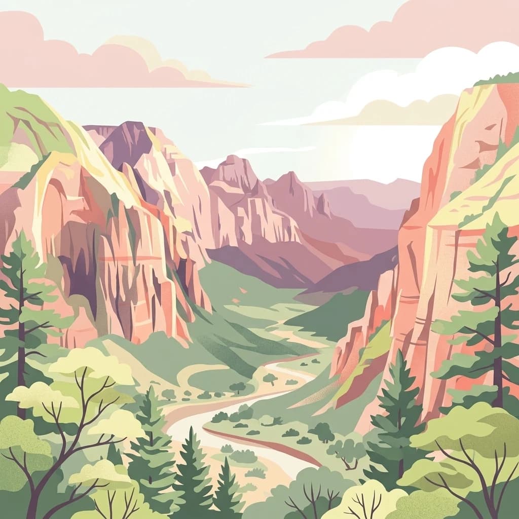
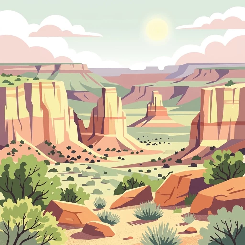
The Grand Canyon exposes layers of rock across a vast canyon landscape in Arizona.
- Area
- 4,926.08 km²
- Established
- 1919
- IUCN
- II
- Visitors
- 4.9M annual
Mapping the surrounding landscapes and regional protected area distribution
Examine the geographic context of the region surrounding Kaibab National Forest in north-central Arizona. This spatial overview identifies nearby protected lands and natural terrain, mapping the proximity of various forested areas, plateau landforms, and wilderness zones that characterize this distinct part of the American Southwest.

A vast national forest encircling both rims of the Grand Canyon in northern Arizona.
Kaibab National Forest is a large, federally administered national forest in north-central Arizona that borders both the North Rim and the South Rim of the Grand Canyon. Spanning roughly 1.6 million acres across three noncontiguous sections, it is one of the most distinctive forests in the American Southwest because the Grand Canyon itself physically separates its northern and southern portions. The forest rises from elevations of about 5,500 feet in the southwestern corner to over 10,000 feet at the summit of Kendrick Peak, producing dramatic shifts in vegetation from high-elevation conifers to pinyon and juniper woodlands. Its terrain includes the broad Kaibab Plateau, deeply cut tributary canyons of the Colorado River, and plateau rims overlooking the Grand Canyon. Managed by the United States Forest Service and headquartered in Williams, Arizona, Kaibab National Forest plays an important dual role as a working landscape and a conservation area. It hosts four designated wilderness areas, supports sizeable populations of elk and mule deer, and forms an essential forested buffer around Grand Canyon National Park.
See the ranked park cluster in its geographic setting
Distance ranked collection and regional park geography for comparative analysis

South
Explore mapped boundaries and regional atlas context.
The Grand Canyon exposes layers of rock across a vast canyon landscape in Arizona.

Northwest
Extensive tributary canyon systems and plateau terrain
Kanab Creek Wilderness represents a vast protected area in northern Arizona, defined by deep gorges and vertical cliffs etched into the Kanab and Kaibab Plateaus. This geographic atlas entry provides insights into the canyon network that feeds the Colorado River, highlighting the extreme elevation gradients and archaeological significance of this rugged wilderness.

South
Regional geography and protected terrain map of the Bradshaw Mountains
Spanning over one million acres, Prescott National Forest represents a defining outdoor landscape in Arizona. The terrain transitions from high desert chaparral to dense ponderosa pine forests, featuring eight distinct wilderness areas, rugged canyon systems, and essential watershed corridors that shape the regional ecology near Prescott.

South
Canyon landscapes and high mesa terrain in Arizona
Red Rock-Secret Mountain Wilderness serves as a significant protected block near Sedona, featuring a complex network of slot canyons, natural arches, and sandstone pinnacles. This wilderness area preserves the ecological transition from the high-elevation forested rim down into warmer, arid canyon bottoms, offering a deep look at the geology of the Colorado Plateau edge.

South
High-altitude volcanic terrain and alpine ecosystems
Kachina Peaks Wilderness is a protected area in northern Arizona centered on the San Francisco Peaks. This geography includes the state's highest elevation at Humphreys Peak and a rare volcanic caldera known as the Inner Basin. The terrain transitions from dense mountain forests into an Arctic-Alpine zone, offering a distinct landscape for analyzing mountain evolution and high-elevation ecological patterns.

South
Arizona high-desert wilderness and canyon-edge geography
Located southeast of Sedona, Munds Mountain Wilderness encompasses roughly 18,150 acres of dramatic sandstone cliffs and elevated plateaus. This area serves as a key site for observing the convergence of pinyon-juniper woodlands with iconic desert rock formations, providing a clear window into the rugged topography of central Arizona.

Northeast
Colorado Plateau canyons, sandstone strata, and reservoir environments
Explore the geological architecture of Glen Canyon National Recreation Area, a vast federal protected landscape. The area showcases towering Navajo Sandstone cliffs, deep blue reservoir arms, and remote backcountry canyons that exemplify the distinct high desert terrain of the Colorado Plateau in the United States.

Northwest
Explore the mapped terrain and regional context of this Utah national park.
Zion National Park represents a key protected area within Utah, ideal for detailed geographic exploration. This canonical page offers insights into the park's specific mapped boundaries, its inherent landscape character, and its regional geographic setting. It is designed for users seeking to understand the atlas-level significance of Zion National Park as a national park entity, focusing on its protected terrain and natural geography.

West
Mapping basalt mesas and cinder cone ecosystems on the Uinkaret Plateau
Mount Trumbull Wilderness represents a distinct volcanic protected area located on the Uinkaret Plateau of the Arizona Strip. This rugged wilderness encompasses a massive basalt-capped mesa, scattered cinder cones, and deep ecological gradients ranging from pinyon-juniper woodlands to ancient ponderosa forests, providing a vivid look at the complex geological history near the Colorado River.
Southwest
Essential protected land data in Yavapai County
Juniper Mesa Wilderness protects a rare sedimentary mesa capped by Tapeats sandstone, rising above a vast granite landscape in Yavapai County. This geographic survey highlights the canyon-cut topography and the shifting vegetation zones that characterize the Transition Zone ecology within the Prescott National Forest.

North
Explore the unique geology and protected boundaries of Bryce Canyon National Park.
Bryce Canyon National Park, in Utah, United States of America. Landscapes: plateaus, cliffs, and canyons.

South
Exploring the vertical ecosystem gradients in Central Arizona
Spanning from arid Sonoran basins to the towering Mogollon Rim, Tonto National Forest offers a unique study in vertical geography and protected land management. This expansive territory provides a vital map of Southwest life zones, encompassing reservoir systems, rugged river canyons, and critical wilderness habitat that define the environmental identity of the region.

South
Mapping the ecological transition from desert canyon to forest ridge
Mazatzal Wilderness stands as an essential protected area in central Arizona, covering vast tracts of the Tonto and Coconino National Forests. The landscape is defined by the stark vertical contrast between the low-lying Verde River corridor and the high-elevation forests of the Mazatzal Mountains. This expansive wilderness remains a key study in regional topography and ecological zonation for those exploring the rugged backcountry of the southwestern United States.
Northwest
Wildlife reserve and watershed protection in Washington County
This protected area unit serves as a critical buffer for the upper LaVerkin Creek corridor. Its terrain spans the transition from high-elevation forested plateaus to deeply carved sedimentary canyons. By maintaining an unroaded status, the wilderness preserves essential riparian habitats and geological features that define the character of the surrounding southwestern Utah plateau region.

Northwest
Ecological transitions between the Mojave Desert and Great Basin
Red Mountain Wilderness is a distinct protected landscape in southwestern Utah characterized by its dramatic Navajo sandstone block. Positioned near the Gunlock Fault and Snow Canyon, the area features rugged desert terrain where Mojave and Great Basin ecosystems converge. This wilderness preserves significant archaeological history and diverse plant communities within its sandstone canyons and flats, offering a window into the varied natural environment of the region.

West
United States protected geography and reservoir terrain
Spanning the lower Colorado River, Lake Mead National Recreation Area represents a unique convergence of desert ecosystems and large-scale water management. Its geography includes extensive reservoir shorelines, deep canyon corridors, and volcanic basin terrain that provide a foundational look at the arid environments of the American Southwest. The area remains a significant study of how engineered water features alter and interact with complex desert landscapes.

Northeast
Explore Capitol Reef National Park's mapped terrain and boundaries.
Capitol Reef National Park, in Utah, United States of America. Landscapes: mountains, valleys, and plateaus.

West
A rugged desert preserve in Clark County, Nevada
Jumbo Springs Wilderness preserves a dense concentration of desert geology within a compact footprint. Users can analyze the protected boundaries, which feature Precambrian metamorphic formations and granitic domes that rise above arid drainages. This area functions as a critical desert refuge near the Lake Mead reservoir, providing a distinct look at the transition between rocky mountain slopes and water-influenced desert microhabitats.

Southwest
High desert ridgelines and summit forest ecosystems
Mount Tipton Wilderness protects a striking segment of the Cerbat Mountains, characterized by its elevation-driven transition from arid desert lowlands to cooler, forested peaks. This rugged Arizona landscape features narrow spine ridges and the notable rock formations of the Cerbat Pinnacles, offering a preserved backcountry environment for those exploring the region's mountain geology and desert ecosystems.

Southwest
A protected wilderness area in the central Black Mountains
Mount Nutt Wilderness offers a dramatic look at high desert topography, characterized by fortress-like volcanic formations and deeply incised canyons. This protected area in northwestern Arizona provides essential habitat for desert bighorn sheep while showcasing the contrast between sun-baked mesas and lush, spring-fed riparian zones.
Geographic measurements, not driving distances
Calculated between the nearest points of both park boundaries.
Estimated from one mapped park location to the nearest boundary of the other park.
Estimated between the mapped locations of both parks.
Examine the diverse high-country environment of Kaibab National Forest, where dramatic elevation shifts and canyon-rim geography create a unique ecological mosaic. MoriAtlas provides the tools to trace the forest's divided landscape across Arizona, offering a comprehensive perspective on its wilderness areas, volcanic peaks, and plateau-based topography.