
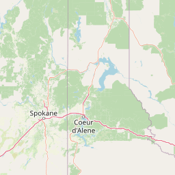
Streams
Park geography
Detailed survey of regional coverage, mountain relief, and major water systems.
Kootenai National Forest Geographic Profile, Mapped Boundaries, and Terrain Analysis
This geographic analysis details the physical extent and environmental composition of Kootenai National Forest across the border regions of Montana and Idaho. The profile examines the 8900 square kilometer land mass, featuring significant elevation ranges from 558 to 2663 meters, and catalogues the intricate network of internal streams, rivers, and forested mountain terrain.
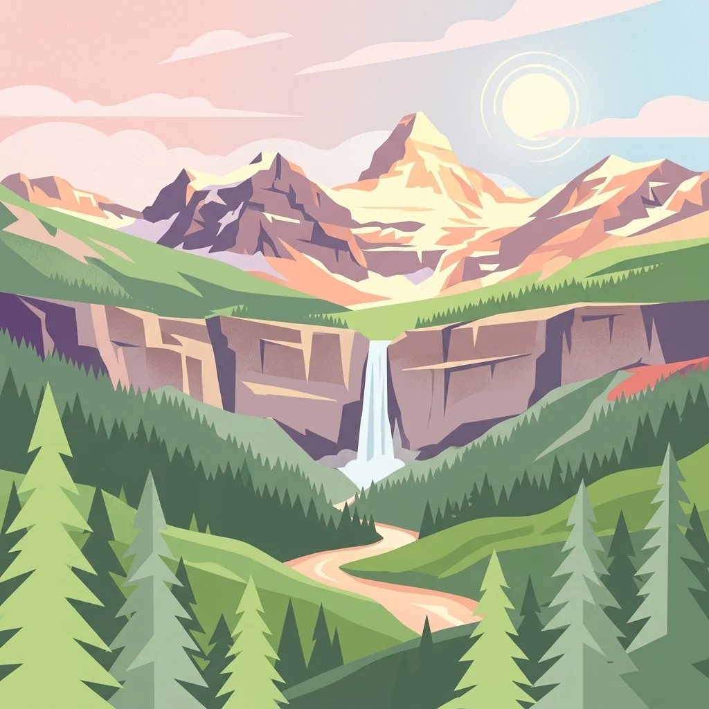
A 2.2-million-acre mountain forest along the Montana-Idaho-Canadian border, defined by deep river valleys and Pacific-influenced climate.
Kootenai National Forest
Kootenai National Forest is a vast national forest in the far northwestern corner of Montana and the northeastern tip of the Idaho panhandle, lying directly along the Canada-United States border. Covering about 2.2 million acres, it spans several mountain ranges including the Whitefish, Purcell, Bitterroot, Salish, and Cabinet ranges, with the Cabinet Mountains Wilderness forming one of its most prominent interior landscapes. The forest is shaped by the Kootenai and Clark Fork river systems, which receive notably higher precipitation than the rest of Montana and lend the region a distinctly Pacific-influenced climate. Libby Dam on the Kootenai River has created the long, forested Lake Koocanusa reservoir, which stretches north into Canada, and a dense network of smaller rivers, lakes, and snow-fed valleys give the forest a deeply wilderness character. Managed by the U.S. Forest Service, Kootenai National Forest combines active timber management, conservation of large roadless areas, outdoor recreation, and watersheds that supply hydroelectric power, making it both a working forest and a major piece of the Northern Rockies' public lands network.
- Location
- United States of America
- Park type
- Protected landscape
- Established
- 1907
- Area
- 8,900 km²
- Highest point
- 2,663 m
Location overview
Mapped across the United States of America, Montana, and Idaho
Kootenai National Forest Location and Regional Geography Overview
Kootenai National Forest spans recorded territories within the United States of America, Montana, and Idaho. Official records establish its transboundary status across regional administrative jurisdictions.
- Countries
- United States of America
- Regions
- Idaho, Montana
- Primary location
- Montana
- Geographic setting
- Transboundary · Inland
Boundary and coordinates
Interactive boundary geometry and recorded area measurements
Kootenai National Forest Boundary Map and Spatial Extent
Mapped park boundaries provide precise spatial context for exploring territorial extent across the protected landscape. Accompanying measurements detail total area coverage and coordinate spans without survey-grade claims.
- Boundary area
- 9,399.5 km²
- Boundary perimeter
- 3,266.7 km
- Northernmost point
- 49.001° N
- Southernmost point
- 47.6168° N
- Easternmost point
- 114.6716° W
- Westernmost point
- 116.2011° W
- Geographic centre
- 48.4546° N, 115.5001° W
- North–south span
- 153.9 km
- East–west span
- 113.5 km
Elevation and terrain
Mountain relief span, vertical range, and recorded waterways
Kootenai National Forest Terrain and Elevation Summary
Recorded elevation metrics outline a mountain terrain range spanning from five hundred fifty-eight to two thousand six hundred sixty-three meters. Associated feature cards detail individual streams and rivers located entirely within the protected landscape boundaries.
- Minimum elevation
- 558 m
- Maximum elevation
- 2,663 m
- Highest point
- 2,663 m
Selected named natural features
Streams
Caribou Creek
Streams
Maxine Creek
Streams
Baldy Creek
Peaks
Lucky Point
1,578 m
Peaks
Banfield Mountain
1,863 m
Environmental setting
Temperate coniferous forests, mountain relief, and major aquatic systems
Kootenai National Forest Environmental Setting and Landscape Classifications
Recorded classifications group mountainous terrain, dominant forest cover, and major water systems into complementary physical settings. Connected categories link directly to relevant atlas destinations across the protected landscape.
- Relief
- Mountain
- Climate
- Temperate
- Water
- Major water bodies
- Forest cover
- Dense forest cover
- Seasonality
- Year-round
Landscape features
Mountains · Forest · Lakes · Rivers
Habitat types
Temperate coniferous forest · Montane forest · Riverine habitat · Lacustrine habitat
Park atlas
Compare adjacent Northern Rockies terrain, forested river valleys, and wilderness reserves
Explore Parks Near Kootenai National Forest and Surrounding Mountain Protected Areas
Browse other protected areas near Kootenai National Forest to examine connected mountain ranges, river corridors, and dense coniferous ecosystems across the regional landscape. Expanding the geographic comparison reveals broader public lands and adjacent wilderness environments situated along the northern border.
Protected areaMontana
Park boundaries overlap#1 closest
Southeast

Lolo National Forest: An Atlas of Protected Lands and Mountainous Terrain in Montana
Ecological transition zone of the northern Rocky Mountains
This protected area covers two million acres of diverse northern Rocky Mountain geography. Known for its massive western red cedars and transitional ecology, the forest features a complex network of ridgelines, glacial lake basins, and river corridors that serve as vital habitat across the Montana landscape.
- Area
- 8,894.85 km²
- Established
- 1906
- Relief
- Mountain
- Climate
- Temperate
National parkMontana
16 km away#2 closest
Northeast
Glacier National Park: A Montana National Park with Distinct Protected Landscape Geography
Explore its mapped boundaries and regional natural terrain.
Glacier National Park represents a significant national park entity within Montana, providing a unique lens for understanding protected landscapes and regional geography. As a key component of the US protected areas network, it offers valuable insights into mapped park boundaries and the surrounding natural terrain. This page serves as a gateway to exploring the specific geographic context and landscape identity of Glacier National Park.
- Area
- 4,100.77 km²
- Established
- 1910
- IUCN
- II
- Visitors
- 2.9M annual
Protected landscapeIdaho
About 27 km away#3 closest
Southwest
Idaho Panhandle National Forests: Mapping the Inland Pacific Northwest Protected Landscapes
Geographic analysis of mountain ranges and river valley ecosystems
Spanning over 2.5 million acres, the Idaho Panhandle National Forests comprise a massive, interconnected network of mountain ranges, pristine lakes, and river corridors. This detailed look at the geography examines the structural backbone of the Selkirk, Cabinet, and Bitterroot ranges, highlighting the diverse ecological gradients and protected wilderness areas that characterize this significant portion of the inland Northwest.
- Area
- 13,000 km²
- Established
- 1912
- Relief
- Mountain
- Climate
- Temperate
National parkAlberta
41 km away#4 closest
Northeast

Waterton Lakes National Park: Alberta's Protected Landscape and Geographic Atlas
Explore mapped boundaries and regional terrain context.
Waterton Lakes National Park represents a vital protected area situated within the province of Alberta. This atlas view focuses on its mapped boundaries and the characteristic natural terrain, providing essential geographic context for understanding its significance. Discover its role as a national park and its placement within the regional geography of Western Canada, ideal for users seeking structured data on protected lands and landscape features.
- Area
- 505 km²
- Established
- 1895
- IUCN
- II
- Visitors
- 475.8K annual
Wildlife reserveMontana
72 km away#5 closest
Southeast
Mission Mountains Wilderness: A Rugged Protected Area in the Montana Rocky Mountains
Glacial topography and high elevation alpine ecosystems
Mission Mountains Wilderness is a defining landmark in northwestern Montana, characterized by a steep and narrow mountain spine that rises abruptly above the Flathead Valley. The area protects a full spectrum of ecosystems, from dense coniferous forests to exposed talus slopes and alpine tundra. With its glacially carved cirques and deep U shaped valleys, this wilderness functions as a key component of a larger, jointly managed regional conservation landscape in the United States.
- Area
- 298.97 km²
- Established
- 1975
- IUCN
- Ib
- Relief
- Mountain

Protected landscapeMontana
104 km away#6 closest
East
Helena-Lewis and Clark National Forest: Geographic Overview and Protected Area Map
Montana wilderness spanning the Continental Divide
Spanning from the rolling eastern plains to the crest of the Northern Rockies, Helena-Lewis and Clark National Forest serves as a massive protected landscape in central Montana. This forest system protects eight unique mountain ranges and critical wilderness corridors, offering a comprehensive look at the ecological transition zones of the American Mountain West.
- Area
- 11,000 km²
- Established
- 1897
- Relief
- Mountain
- Climate
- Temperate
Wildlife reserveMontana
119 km away#7 closest
Southeast
Rattlesnake Wilderness: Exploring the Protected Landscapes and Geography of Montana
Rugged alpine terrain and roadless mountain wilderness in the Northern Rockies.
Located in the Lolo National Forest of western Montana, Rattlesnake Wilderness protects an essential network of forested slopes, alpine ridges, and drainage headwaters. This roadless wildlife reserve provides an ecologically intact landscape that serves as a core component of the northern Rockies wilderness system, offering a clear view into the rugged relief of the Rattlesnake Mountains and their significant influence on local watersheds.
- Area
- 133.45 km²
- Established
- 1980
- IUCN
- Ib
- Relief
- Mountain
State or regional parkBritish Columbia
About 130 km away#8 closest
Northwest
King George VI Provincial Park: Protected Riparian Woodland in Southeastern British Columbia
Ecological atlas of old growth cottonwood habitats
King George VI Provincial Park functions as a significant conservation enclave in southeastern British Columbia, known for its dense stands of old growth black cottonwood. These mature trees create a unique closed canopy environment that serves as critical nesting ground for specialized bird species. This park represents a focused, passive protected area that preserves rare riparian forest structure against a backdrop of regional highway corridors and mixed use terrain.
- Area
- 1.619 km²
- Established
- 1937
- IUCN
- III
- Relief
- Lowland
MoriAtlas Explorer
Begin Exploring the Kootenai National Forest Protected Landscape and Map
Use MoriAtlas to delve into the physical terrain and protected boundaries of Kootenai National Forest. Visualize how mountain ranges, rivers, and wilderness areas interact within this expansive corner of Montana to form a unique Pacific-influenced ecosystem.
Browse next
Global natural geography
Explore related park routes
Explore MoriAtlas Global ParksBrowse All MoriAtlas ParksGlobal Park Map DiscoveryMoriAtlas: Browse All CountriesBrowse All MoriAtlas ContinentsNational Park Environment AtlasGrand Canyon National Park AtlasYellowstone National Park AtlasYosemite National Park Atlas and GeographySerengeti National Park AtlasGalápagos National Park Protected LandscapeBanff National Park Geography and AtlasKruger National Park Atlas EntryUluṟu-Kata Tjuṯa National Park AtlasExplore Uluru-Kata Tjuta National Park GeographyPlitvice Lakes National Park AtlasFiordland National Park Protected LandscapeGreat Smoky Mountains National Park AtlasAfghanistan National Parks and Protected AreasAlbania National Parks and Protected AreasAlgeria National Parks and Protected AreasAmerican Samoa National Parks and Protected AreasAndorra National Parks and Protected AreasAngola National Parks and Protected AreasAntarctica National Parks and Protected AreasAntigua and Barbuda Park List