
Mori Atlas logo
Park earthquake history

A mapped catalogue of recorded ground motion events in the surrounding Colorado wilderness landscape

Historical Earthquake Records and Seismic Activity Associated with La Garita Wilderness

Explore the documented history of seismic events centered within the proximity of La Garita Wilderness in southern Colorado. This catalogue provides access to event dates, recorded magnitudes, and depth measurements for earthquakes associated with this high-alpine protected region. The data illustrates long-term patterns of regional seismic history across the volcanic landscape of the La Garita Mountains without implying predictive or hazardous conditions.

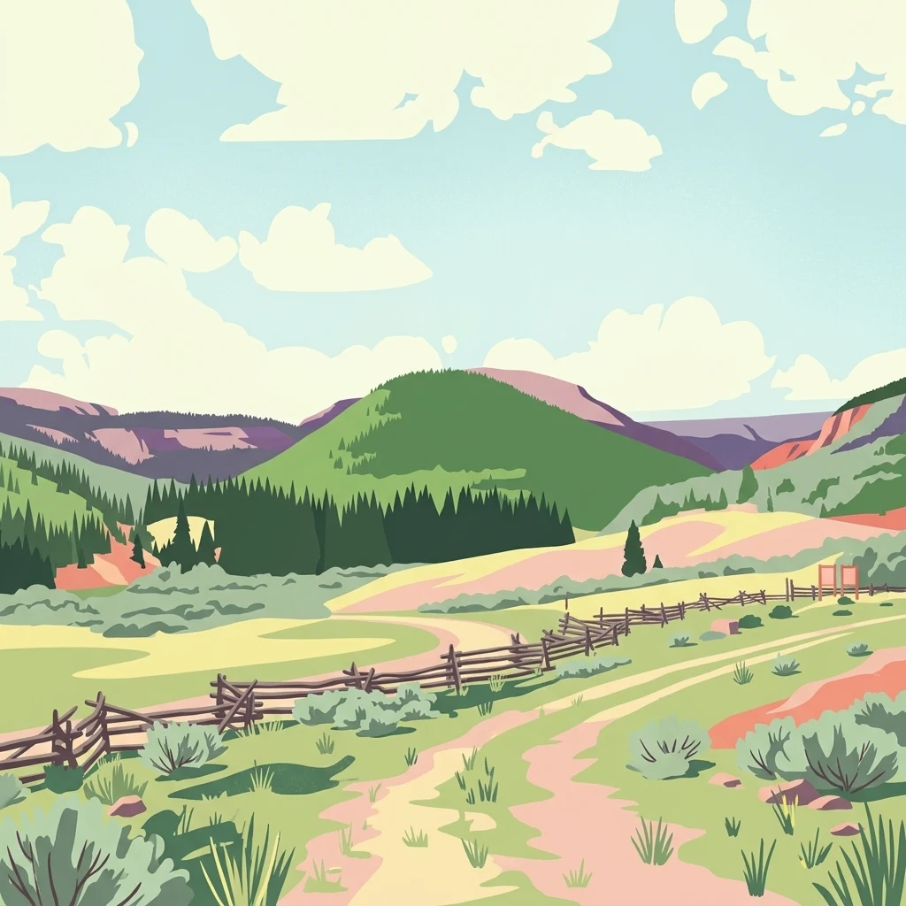
A digital illustration of a dirt path winding through a green valley towards distant mountain peaks, featuring a rustic wooden fence along the trail.

A high-elevation Colorado wilderness crowned by San Luis Peak and crossed by the Continental Divide.

La Garita Wilderness

La Garita Wilderness is a large federally designated wilderness area in the La Garita Mountains of southern Colorado, in the southwestern part of the state. Covering roughly 129,626 acres across Hinsdale, Saguache, and Mineral counties, the wilderness straddles two major national forests and includes segments of both the Colorado Trail and the Continental Divide Trail. Its defining features are high-alpine terrain, broad volcanic uplands, and steep cirques surrounding the 14,014-foot summit of San Luis Peak, the highest point within the protected area. The wilderness was formally designated in 1964 and is managed by the U.S. Forest Service as part of the National Wilderness Preservation System. Its setting combines open park-like basins, dense conifer forests, talus slopes, and remnant volcanic landforms, reflecting the broader geology of the San Juan volcanic field. Because of its elevation, size, and trail systems, La Garita is recognized as a significant backcountry destination for long-distance hikers, horseback riders, and alpine wilderness travelers in the southern Rockies.

Location
United States of America
Park type
Wildlife reserve
Established
1964
Area
524.6 km²
Highest point
4,271 m
La Garita Wilderness Protected Area Atlas

Search La Garita Wilderness events by date, place, and distance

Review the recorded earthquake catalogue near La Garita Wilderness

The La Garita Wilderness earthquake catalogue links records by event epicentre and measured wilderness distance, without assuming boundary occurrence. Search dates, magnitudes, depths, locality labels, distances, and source references to examine the history without treating wilderness characteristics as seismic causes, a present risk conclusion, or predictors.

Sort by
Magnitude
Location

This page describes catalogued earthquakes associated with the park by epicentre location and distance. It does not establish causation, assess current danger, or predict future earthquakes.

No earthquake records match the current filters

Park atlas

Move beyond La Garita Wilderness historical earthquake data

Discover other protected destinations after La Garita Wilderness

After the La Garita Wilderness earthquake catalogue, a separate group of protected destinations opens new atlas routes. Their inclusion does not imply common wilderness status, environmental character, geology, recorded seismicity, proximity, hazard conditions, risk, or matching supporting information.
Watercolor painting of soft, layered mountain ranges behind green hills and patches of evergreen trees on a white background.
Protected landscapeColorado
Park boundaries overlap#1 closest

South

Rio Grande National Forest: Atlas and Geographic Profile of a Southern Colorado Landscape

Watershed geography and Continental Divide terrain analysis.

Rio Grande National Forest represents an immense protected landscape encompassing diverse terrain from high desert steppe to rugged alpine peaks. This profile details the forest's hydrological significance as the source of the Rio Grande and its role as a massive ecological transition zone in the Mountain West. Examine the boundaries and mountain geography that define this critical protected area.

Area
7,500 km²
Established
1908
Relief
Mountain
Climate
Boreal
A horizontal watercolor painting depicting soft green rolling hills and distant mountains under a white sky.
Wildlife reserveColorado
0 km away#2 closest

Northwest

Powderhorn Wilderness: A High-Elevation Protected Landscape in the San Juan Mountains

Basaltic plateaus and vast alpine tundra in Colorado

Powderhorn Wilderness protects a distinct highland environment in southwestern Colorado. Characterized by dark basaltic caprocks and deep glacial cirques, this area serves as a critical headwaters system for the Gunnison River, supporting a complex transition from sagebrush steppe to subalpine forest and wind-swept tundra. The geography remains largely defined by its volcanic heritage and the primitive character of its remote plateau summits.

Area
251.1 km²
Established
1993
IUCN
Ib
Relief
Mountain
Protected landscapeColorado
28 km away#3 closest

Southwest

San Juan National Forest: Geographic Overview of a Major Southern Colorado Protected Landscape

Mapped terrain across the Southern San Juan Mountains

San Juan National Forest represents a massive protected landscape in western Colorado, defined by its rugged alpine peaks, dense conifer forests, and glacial valleys. This atlas entry details the forest boundary, its position along the Continental Divide, and the surrounding transition into the Colorado Plateau. It provides a structured look at the terrain that connects diverse ecosystems, from high-altitude tundra to expansive mesa country, within one of the largest national forests in the American West.

Area
7,603.42 km²
Established
1905
Relief
Mountain
Climate
Alpine
A minimalist watercolor illustration showing soft green hills, purple mountains in the background, and a reflective water body in the foreground.
Protected areaColorado
About 49 km away#4 closest

Northwest

Curecanti National Recreation Area: Mapped Geography and Protected Landscapes of Western Colorado

River-based recreation and volcanic canyon terrain

Curecanti National Recreation Area stretches across Gunnison and Montrose counties, serving as a primary water-based protected landscape in Colorado. The area preserves the geologic transitions from the broad expanse of Blue Mesa Reservoir to the granite-walled canyons of Morrow Point and Crystal, offering a deep look into the regional geography and historical infrastructure of the Gunnison basin.

Area
174.4 km²
Established
1965
Visitors
807.1K annual
Relief
Mountain
Protected landscapeColorado
About 53 km away#5 closest

West

Uncompahgre National Forest: Protected Landscapes and Geographic Features in Colorado

Mapping the arid plateau and high-country San Juan wilderness zones.

Uncompahgre National Forest represents a vast protected area in the American West, spanning iconic landscapes from the dry, pinyon-juniper covered Uncompahgre Plateau to the dramatic, jagged ridges of the northern San Juan Mountains. This atlas entry provides essential context on its alpine wilderness designations, high-country topography, and the unique geological transitions that define its status as a critical Colorado resource for regional landscape analysis.

Area
3,865.68 km²
Established
1905
Relief
Mountain
Climate
Alpine
Watercolor painting of a mountain landscape with light green rolling hills in the midground and pale, soft-toned mountain peaks in the background.
Protected areaColorado
54 km away#6 closest

West

Mount Sneffels Wilderness: Mapping the High Alpine Terrain of the San Juan Mountains

Protected mountain geography in southwestern Colorado

Mount Sneffels Wilderness protects a dramatic cluster of peaks in the San Juan range, characterized by glacial cirques, expansive talus fields, and sharp ridgelines. As a vital component of the Colorado backcountry, this area provides a window into high-altitude ecological transition zones, from dense conifer forests to exposed granite summits that define the character of the Uncompahgre National Forest.

Area
67.04 km²
Established
1980
IUCN
Ib
Relief
Mountain
Watercolor painting of a serene mountain landscape featuring rolling hills, coniferous trees, and a lake in the foreground, rendered in light pastel tones.
Protected landscapeColorado
58 km away#7 closest

East

San Isabel National Forest: Geographic Overview and Protected Mountain Landscape Atlas

Central Colorado alpine terrain and designated wilderness areas

Spanning eleven counties in central Colorado, San Isabel National Forest serves as a cornerstone of the Southern Rocky Mountains. The forest landscape is dominated by the Sawatch and Sangre de Cristo ranges, offering a unique atlas of alpine tundra, dense coniferous forests, and high-altitude peaks that define the character of the region. This protected area provides a vital habitat and a vast, rugged environment characterized by volcanic formations like the Spanish Peaks and glacial geological features.

Area
4,533.42 km²
Established
1902
Relief
Mountain
Climate
Alpine
Wildlife reserveColorado
64 km away#8 closest

West

Lizard Head Wilderness: Mapping the San Juan Mountains Protected Alpine Terrain

High elevation geography and volcanic wilderness in Colorado

Lizard Head Wilderness is a federally protected area in southwestern Colorado characterized by steep ridgelines, dramatic volcanic geology, and alpine basins. It protects a rugged mountain landscape featuring the iconic Lizard Head spire and a cluster of high-elevation peaks including Mount Wilson, El Diente Peak, and Wilson Peak. The area offers a significant study in remote high-mountain geography and watershed protection within the San Juan range.

Area
167.17 km²
Established
1980
IUCN
Ib
Relief
Mountain
MoriAtlas Explorer

Continue Exploring the Geographic Landscape of La Garita Wilderness

Deepen your understanding of the La Garita Wilderness by examining its protected boundaries, volcanic mountain terrain, and regional geography within the southern Rockies. MoriAtlas provides a structured look at the high-alpine features and long-distance trail connectivity that define this significant Colorado protected area.