Mori Atlas logo
Park earthquake history

Reviewing historical seismic records through magnitude, depth, and epicentre distance data.

Documented Earthquake History and Recorded Seismic Activity Near Lake District National Park

Access a structured collection of historical earthquake events geographically associated with the Lake District National Park landscape. This catalogue provides a transparent view of recorded seismic activity by detailing event dates, estimated magnitudes, and proximity calculations relative to the park boundary. Explore the historical record to understand patterns in regional tectonic data across this mountainous English terrain.

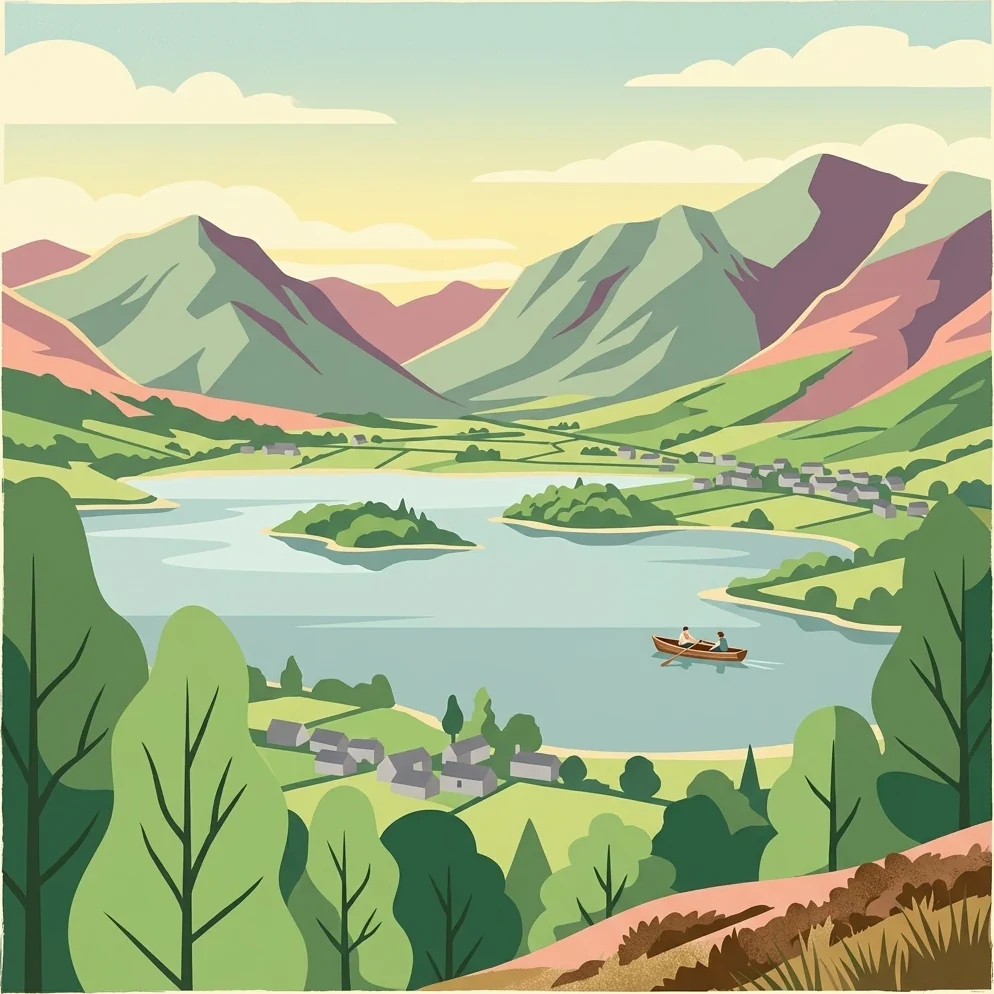
Stylized illustration of a lake surrounded by mountains, with trees, small buildings, and a boat on the water

England's mountainous heartland of lakes, fells, and literary heritage

Lake District National Park

Lake District National Park occupies a dramatic landscape of mountainous terrain, glacial valleys, and natural lakes in northwest England. Established in 1951, it was the second national park created in the United Kingdom and remains the largest national park in England. The park encompasses a compact but spectacular region where steep-sided valleys (known as dales), open moorland, and cloud-piercing peaks rise above stillwaters that give the area its characteristic character. The Lake District holds deep significance as a center of English Romantic poetry, having inspired works by William Wordsworth, Samuel Taylor Coleridge, and Beatrix Potter, whose former home at Hill Top remains preserved within the park. The landscape was shaped during the last Ice Age, leaving behind the U-shaped valleys, tarns, and moraines that define the region's topography today.

Location
United Kingdom
Park type
National park
Established
1951
Area
2,292 km²
Lake District National Park Protected Landscape

Analyze regional seismic events using calculated distances from the park boundaries

Historical Earthquake Records for Lake District National Park

A comprehensive registry compiles historical seismic events based on the spatial proximity of their epicenters to Lake District National Park. Each catalogued entry provides essential geographic and physical data, including precise event dates, recorded magnitudes, focal depths, calculated distances from the park boundary, and direct links to primary source registries.

Sort by
Magnitude
Location

This page describes catalogued earthquakes associated with the park by epicentre location and distance. It does not establish causation, assess current danger, or predict future earthquakes.

No earthquake records match the current filters

Park atlas

Navigate diverse conservation landscapes and regional park profiles across the globe.

Explore More National Parks and Protected Areas Beyond Lake District National Park

Global park catalogs offer structured pathways to discover diverse protected lands, coastal reserves, and mountain sanctuaries. Expanding your geographic search beyond Lake District National Park allows for direct comparison of regional terrain, conservation management, and natural boundaries.
Watercolor painting of green hills, a stream, and grassy areas
National parkNorth Yorkshire
0.1 km away#1 closest

Southeast

Yorkshire Dales National Park: A Protected Landscape in North Yorkshire

Explore mapped boundaries and distinctive limestone terrain.

Yorkshire Dales National Park offers a rich tapestry of mapped natural landscapes, characterized by its iconic limestone valleys, U-shaped glacial formations, and rolling heather-clad moorlands. Situated within North Yorkshire, this protected area showcases a unique karst geology, evident in features like Malham Cove and extensive cave systems. The park's traditional dry-stone walls and working farms contribute to a living cultural landscape, making it a prime destination for atlas-driven geographic discovery and understanding regional terrain.

Area
2,178 km²
Established
1954
IUCN
V
Relief
Mountain
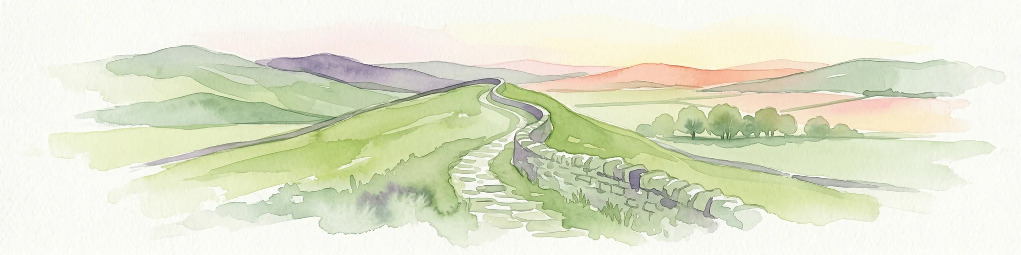
Watercolor illustration of Hadrian's Wall stretching across rolling green hills with distant mountains and trees under a sunset sky
National parkNorthumberland
40 km away#2 closest

Northeast

Northumberland National Park: England's Northernmost Protected Landscape and Dark Sky Wilderness

Explore its mapped boundaries, Roman heritage, and remote moorland terrain.

Northumberland National Park protects over 1,050 square kilometers of remote and stunning natural beauty in northern England, bordering Scotland. This page provides a structured overview of its protected landscape, focusing on its geographic context within the county of Northumberland, its designation as a National Park, and its renowned status as Europe's largest Dark Sky Park. Users can discover the park's characteristic moorland terrain, the archaeological significance of Hadrian's Wall, and the vast expanses of Kielder Forest, offering an atlas-level understanding of this unique frontier landscape.

Area
1,050 km²
Established
1956
IUCN
V
Relief
Highland
National parkUnited Kingdom
89 km away#3 closest

Southeast

Peak District National Park: Explore Protected Landscape and Regional Geography

Mapped boundaries and natural terrain context for this UK national park.

Investigate the Peak District National Park, a cornerstone of the United Kingdom's protected natural areas. This MoriAtlas entry provides essential details on its geographic scope, mapped boundaries, and landscape characteristics. Engage with structured data to understand how this national park fits into the atlas of the United Kingdom, supporting detailed geographic and protected-area discovery for researchers and explorers.

Area
1,440 km²
Established
1951
IUCN
V
Visitors
13M annual
Watercolor illustration showing rolling hills, green vegetation, and a pale sky
National parkNorth Yorkshire
About 96 km away#4 closest

East

North York Moors National Park: Explore its Protected Landscape and Geography

Discover mapped moorland, dales, and coastlines.

The North York Moors National Park is a vital protected landscape in North Yorkshire, celebrated for its extensive heather moorland and distinctive deeply incised dales. This page provides an atlas-style exploration of the park's geography, highlighting its unique terrain, mapped boundaries, and its integral role within the regional landscape context. Understand the diverse natural features that define this iconic national park, from the upland plateau to the dramatic Jurassic coast.

Area
1,430 km²
Established
1952
IUCN
V
Relief
Upland
Watercolor illustration of rolling mountains and green valleys with distant peaks
National parkWales
108 km away#5 closest

South

Snowdonia National Park: Protected Landscape and Map Exploration in North Wales

Mountain terrain, glacial lakes, and regional geography.

Snowdonia National Park offers a profound exploration of mountainous protected landscapes in North Wales. This page details the park's mapped boundaries, revealing a terrain shaped by glaciation, featuring dramatic peaks like Snowdon, steep valleys, and pristine glacial lakes. Understand its geographic identity within the United Kingdom and how its protected status contributes to the regional landscape context, providing a unique focus for atlas-based discovery.

Area
2,142 km²
Established
1951
IUCN
V
Relief
Mountain
Watercolor illustration showing mountains, green forests, a loch, and a river in a landscape
National parkScotland
162 km away#6 closest

Northwest

Loch Lomond and The Trossachs National Park: Scotland's National Park Atlas and Protected Landscape

Mapping Scotland's Highland Boundary Fault and diverse natural terrain.

As Scotland's first national park, Loch Lomond and The Trossachs National Park offers a prime example of a protected landscape shaped by significant geological features. This atlas entry highlights its strategic location along the Highland Boundary Fault, which delineates distinct highland and lowland terrains. Users can explore the park's extensive network of lochs, including Loch Lomond, its mountainous Munros, and its native woodland ecosystems, providing a rich geographic context for discovery.

Area
1,865 km²
Established
2002
IUCN
V
Visitors
2.9M annual
Watercolor painting depicting mountains, forested hills, and a river in a scenic landscape
National parkScotland
222 km away#7 closest

North

Cairngorms National Park: Explore Scotland's Largest Protected Mountain Landscape

Mapped boundaries and arctic-alpine geography.

As the United Kingdom's largest national park, Cairngorms National Park in Scotland presents a vast expanse of distinctive arctic-alpine terrain and ancient Caledonian forests. This protected landscape offers a unique opportunity to explore mapped geographic features, from its extensive mountain plateaus to its vital river systems. Discover the contours and context of this significant natural area within the broader atlas of Scotland's protected lands.

Area
4,528 km²
Established
2003
IUCN
V
Visitors
1.9M annual
Watercolor illustration of a mountainous landscape with lakes and greenery
National parkWales
236 km away#8 closest

South

Brecon Beacons National Park: Explore Wales' Iconic Protected Mountain Landscape

Discover mapped terrain, park boundaries, and regional geography.

Brecon Beacons National Park, officially Bannau Brycheiniog, stands as a premier protected area within Wales, covering over 1,344 square kilometers of striking mountainous terrain. This national park is defined by its dramatic Old Red Sandstone ranges, including Pen y Fan, South Wales' highest peak, and features diverse landscapes from heather moorland to extensive river valleys. Its mapped boundaries encompass unique geological features, significant historical sites, and provide context for regional geographic exploration, making it a key destination for understanding protected lands in the UK.

Area
1,344 km²
Established
1957
IUCN
V
Visitors
4.4M annual
MoriAtlas Explorer

Continue exploring Lake District National Park's geographic and landscape context

Deepen your understanding of the Lake District National Park's unique protected landscape by continuing your atlas-driven exploration. Examine its intricate geography, mapped terrain, and the distinct natural features that define this significant national park. Discover how its landscape fits within the broader regional context of Cumbria and its importance as a protected area.