
Mori Atlas logo
Protected areaLangenberger Huete bei Breitenbach

Tracing the boundaries and meadow terrain within the broader Habichtswald conservation landscape

Langenberger Huete bei Breitenbach Protected Area: Regional Landscape and Geography in Germany

(Naturschutzgebiet Langenberger Hute bei Breitenbach)

Langenberger Huete bei Breitenbach represents a distinctive nature reserve situated on the forested slopes of the Langenberg ridge in northern Hesse, Germany. This protected site features two separated patches of dry grassland, maintained through historical pastoral practices that contrast with the surrounding woodland. Through map-based exploration, identify the spatial relationship between these open meadows and the adjacent forest margins that define this cultural landscape.

nature reservedry grasslandMagerrasentraditional grazingHutewirtschaftHabichtswald
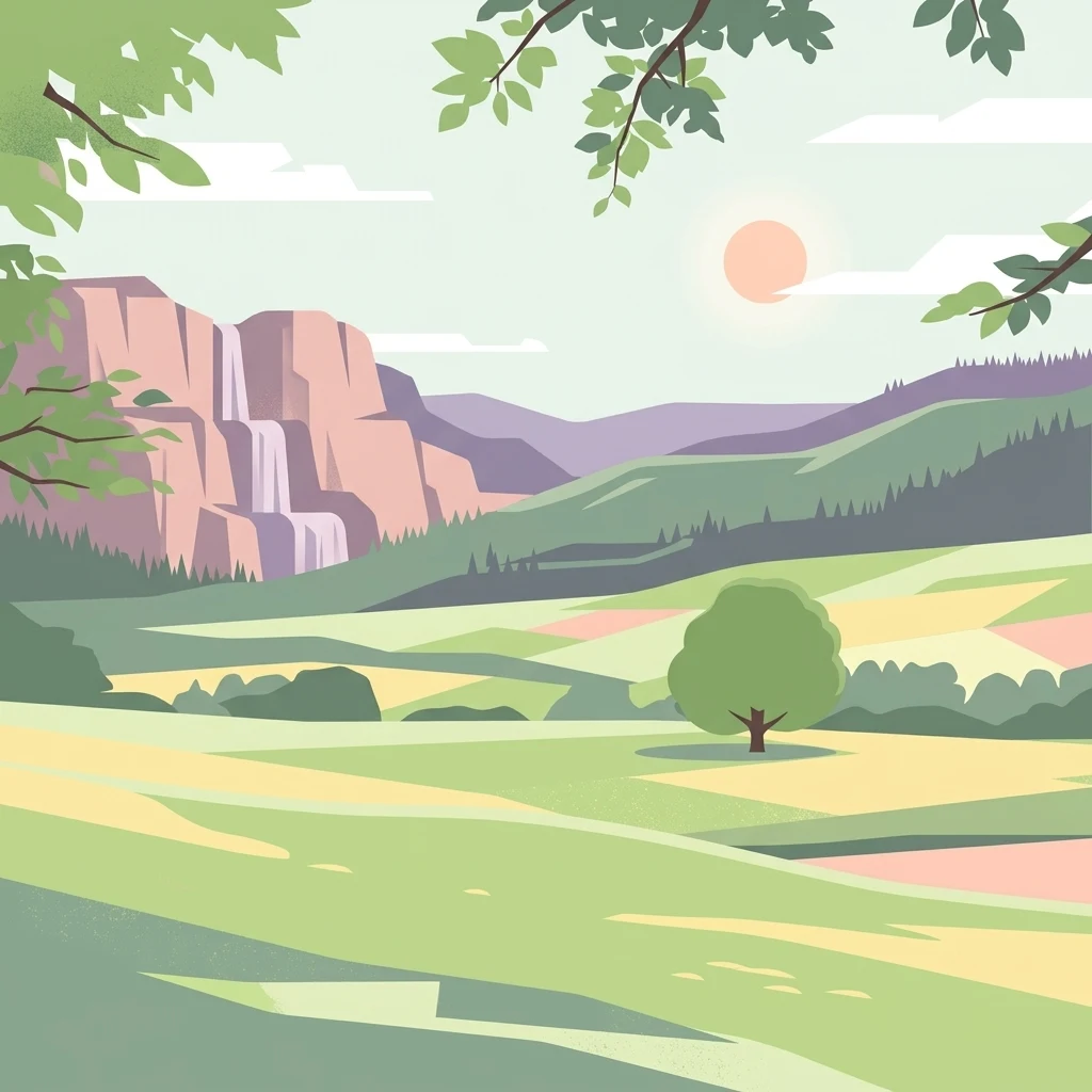
A flat vector illustration of a scenic valley with a waterfall flowing down a cliff on the left, rolling hills in the background, a single tree in a field in the foreground, and the sun shining in a soft sky.

Langenberger Huete bei Breitenbach

Protected area

Park overview

Structured park overview, official facts, and landscape profile for Langenberger Hute bei Breitenbach

Langenberger Hute bei Breitenbach park facts, protected area profile, and essential visitor context

Review the core facts for Langenberger Hute bei Breitenbach, including designation, size, terrain, visitor scale, habitats, and operating context in one park-focused overview.

About Langenberger Hute bei Breitenbach

Langenberger Hute bei Breitenbach sits within the broader landscape of the Naturpark Habichtswald, a region of forested ridges and pastoral valleys southwest of Kassel. While the surrounding Langenberg is largely covered in mixed woodland, the reserve protects one of the more ecologically distinctive openings on the northern flank of that ridge. The two protected parcels capture open, sun-exposed ground that contrasts sharply with the dense forest habitat dominating the area.

The defining land cover of the reserve is dry grassland of the type historically created by extensive grazing, a land-use tradition locally known as Hutewirtschaft. These nutrient-poor Magerrasen typically harbor a relatively diverse flora adapted to low-fertility soils, with grasses and herbs of conservation interest. The presence of scattered trees and shrubs within the grassland adds structural variety and supports a broader range of species, blurring the boundary between open meadow and forest edge.

Because such grasslands only persist where grazing is maintained, the area requires active management. The reserve is kept open through continued grazing, a continuation of the historical agricultural practice rather than an abandoned landscape. This makes the site both an ecological refuge and a living example of traditional Hesse countryside. Together with connected sites along the Langenberg and the wider Habichtswald area, it contributes to a network of small protected grasslands that preserve the cultural and ecological character of the region.

Quick facts and research context for Langenberger Hute bei Breitenbach

Langenberger Hute bei Breitenbach is a 14 hectare nature reserve (Naturschutzgebiet) in the Landkreis Kassel, Hesse, designated on 15 December 1992 under the official identifier 1633034. It lies within the Naturpark Habichtswald, on the northern edge of the Langenberg ridge southwest of the city of Kassel, and is composed of two grassland parcels separated by a farm track. The reserve is bordered by forest to the east and south and by agricultural land to the north and west.

Protection and recognition

Explore the documented terrestrial conservation scope and establishment year.

Langenberger Huete bei Breitenbach Protection Status and Designation History

Langenberger Huete bei Breitenbach maintains a documented terrestrial protection status established in nineteen ninety two. Protected area records outline the formal designation history and management scope for this conservation landscape.

Protection details

Protection scope
Terrestrial
Designated year
1992
Transboundary protection
No
WDPA ID
164352
Park context

Deeper park guide and search-rich context for Langenberger Hute bei Breitenbach

Langenberger Hute bei Breitenbach history, landscape, wildlife, and travel context

Explore Langenberger Hute bei Breitenbach through its history, landscape character, ecosystems, wildlife, conservation priorities, cultural context, and seasonal travel timing in a structured park guide built for atlas discovery and search intent.

Why Langenberger Hute bei Breitenbach stands out

The reserve is best known for its traditional Hute, or grazing-driven, dry grassland habitat. These nutrient-poor meadows, interspersed with scattered shrubs and small woodland elements, are characteristic of the Habichtswald region and represent one of the more notable small grassland conservation sites on the northern side of the Langenberg. Its identity is tied to centuries-old pastoral use rather than wilderness, placing it firmly within the cultural landscape tradition of northern Hesse.
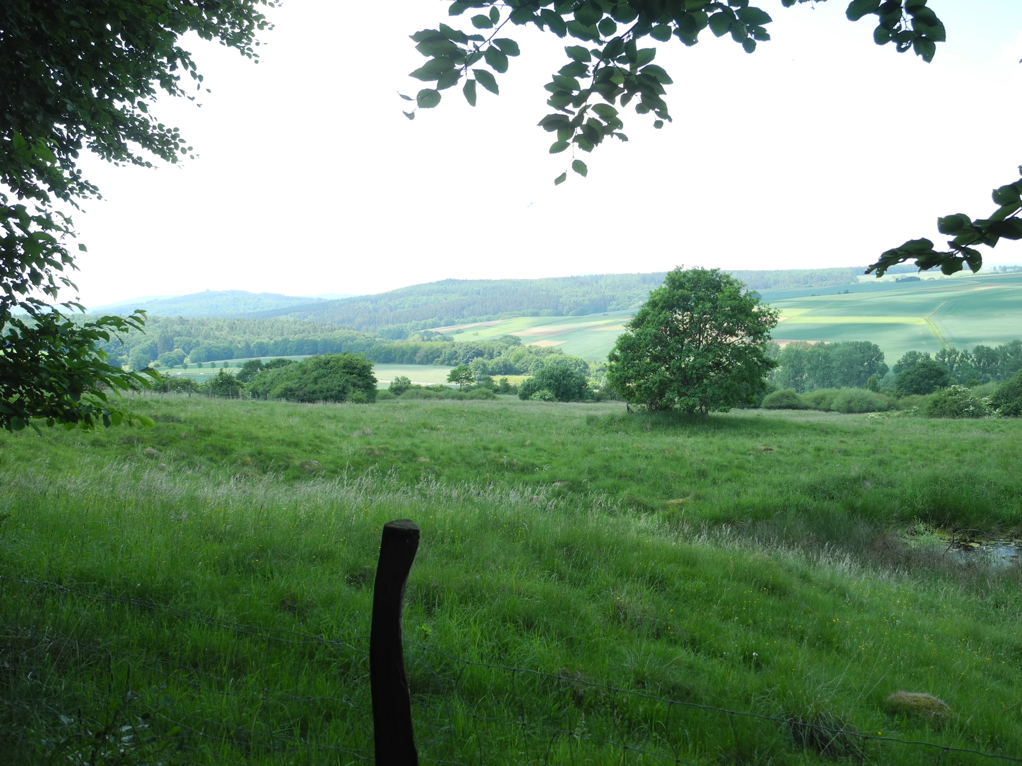
A wide view of a green grassy pasture with a small pond in the lower right, framed by tree branches in the foreground and rolling hills in the distance.
View across the open pastures of the Langenberger Hute nature reserve.

Langenberger Hute bei Breitenbach history and protected-area timeline

The grassy character of the site is the product of long-standing pastoral land use, with grazing shaping the open Magerrasen on the north side of the Langenberg over generations. Recognition of its ecological and cultural significance came late in the twentieth century, when the area was formally designated as a Naturschutzgebiet on 15 December 1992 under the identifier 1633034. Since designation it has been managed through continued grazing to maintain the open, species-rich structure of the grassland and to prevent forest encroachment.

Langenberger Hute bei Breitenbach landscape and geographic character

The reserve occupies the northern side of the Langenberg, a forested ridge that forms a notable elevation within the Habichtswald complex southwest of Kassel. The protected land lies on the upper, sun-exposed margin of the ridge, where the dense woodland gives way to open ground. The terrain consists of gently sloping ground along the hillside, divided into two parcels separated by a farm track.

The contrast between the forested ridge and the open grassland is the visually defining feature of the site. To the east and south, the reserve abuts continuous woodland climbing the slope, while to the north and west it borders agricultural fields, marking the transition between forest, open grassland, and cultivated farmland that characterizes the broader Habichtswald landscape.

Langenberger Hute bei Breitenbach ecosystems, habitats, and plant life

Ecologically, the reserve is defined by its dry, species-rich grassland vegetation, the Magerrasen vegetation type that supports a wide variety of grasses and herbs typical of low-nutrient soils. Scattered woody growth within the grassland adds habitat complexity, creating transitional zones between open meadow, scrub, and forest edge. Forest margins to the east and south, as well as surrounding agricultural land, contribute to a mosaic of habitats around the reserve, although the protected area itself is primarily an open-grassland ecosystem.

Langenberger Hute bei Breitenbach wildlife and species highlights

The reserve supports the wildlife communities typical of structurally rich dry grassland and forest-edge habitats in central Germany. Its mix of open meadow, scattered shrubs, and adjacent woodland provides foraging and shelter conditions for invertebrates, small mammals, and various bird species associated with semi-open countryside. Detailed species records are not available in the source material, so specific fauna are not elaborated further.

Langenberger Hute bei Breitenbach conservation status and protection priorities

Langenberger Hute bei Breitenbach has conservation significance as a representative example of a Hutewirtschaft-derived dry grassland within the Naturpark Habichtswald. Its small size masks an important role in preserving habitat that has become increasingly rare in heavily forested regions of northern Hesse, where open, grazed landscapes have largely disappeared. Protection since 1992 has secured the site against land-use change, while ongoing grazing management ensures that the open character of the grassland is maintained as a refuge for the flora and fauna tied to this habitat type.

Langenberger Hute bei Breitenbach cultural meaning and human context

The reserve reflects a long regional tradition of grazing-driven land management in northern Hesse, where open grassland was historically shaped by livestock moving through the forests and along the ridges. The Hutewirtschaft practice preserved here is part of the broader cultural landscape of the Habichtswald region, where forest, pasture, and small-scale agriculture coexisted. The site therefore carries significance beyond ecology, as a remnant of historical land use that continues to define the rural character of the area.

Top sights and standout views in Langenberger Hute bei Breitenbach

Two-part dry grassland reserve set against a forested ridge, maintained through traditional grazing. Part of the broader Naturpark Habichtswald conservation landscape southwest of Kassel. A compact but ecologically meaningful example of Hutewirtschaft-style habitat preservation in northern Hesse. Borders the long-distance Habichtswaldsteig trail, integrating the protected area into the regional hiking network.

Best time to visit Langenberger Hute bei Breitenbach

Late spring and summer are generally the most rewarding periods to experience such dry grassland reserves in Hesse, when herbaceous plants are in bloom and the contrast between open meadow and surrounding forest is at its most visually striking. The open character of the site means it can also be visited across a broad seasonal range, with autumn offering quieter, more muted landscapes. Access along the Habichtswaldsteig makes the site suitable for pairing with wider exploration of the Habichtswald landscape in any mild-weather season.

Monthly climate preview

Long term representative temperature and precipitation averages recorded at benchmark coordinates

Langenberger Huete bei Breitenbach Climate Normals and Annual Weather Patterns

Historical data records monthly temperature extremes and daily precipitation averages across the representative coordinate from 1991 to 2020. Examining the full twelve month record provides deeper insight into long term meteorological trends for Langenberger Huete bei Breitenbach.
Annual mean8 °C
-1 °C18 °C
Jan-1°
Feb
Mar
Apr
May12°
Jun16°
Jul18°
Aug18°
Sep14°
Oct
Nov
Dec
Warmest month
July

18 °C

Coolest month
January

-0.6 °C

Wettest month
July

2.5 mm/day

Driest month
April

1.5 mm/day

Park location guide

Geography guide, regional context, and park location map for Langenberger Hute bei Breitenbach

Langenberger Hute bei Breitenbach park geography, regions, and map view in Germany

Understand where Langenberger Hute bei Breitenbach sits in Germany through a broader geographic reading of the surrounding landscape, nearby location context, and its mapped position within the national park landscape.

How Langenberger Hute bei Breitenbach fits into Germany

Germany is a federal republic in Western and Central Europe with a population of over 83 million across sixteen constituent states. It is Europe's largest economy by nominal GDP and a major global exporter and importer. The capital is Berlin, and the country borders Denmark, Poland, Czech Republic, Austria, Switzerland, France, Luxembourg, Belgium, and the Netherlands.

Wider geography shaping Langenberger Hute bei Breitenbach in Germany

Germany is located in Western and Central Europe, spanning 357,022 km². It borders Denmark to the north, Poland and the Czech Republic to the east, Austria and Switzerland to the south, and France, Luxembourg, Belgium, and the Netherlands to the west. The country has coastlines on the Baltic Sea and North Sea to the north, with the Alps located in the southern region.

Map view of Langenberger Hute bei Breitenbach

Use this park location map to pinpoint Langenberger Hute bei Breitenbach in Germany, understand its exact geographic position, and read its mapped placement within the surrounding landscape more clearly.

Pigeon | © OpenStreetMap contributors

Examine the terrain, dry grassland habitats, and forest-edge scenery defining northern Hesse conservation areas.

Visualizing Langenberger Huete bei Breitenbach: Photos, Scenery, and Protected Landscapes

Visual documentation of Langenberger Huete bei Breitenbach reveals the striking contrast between forested ridge slopes and open pastoral meadows. Studying these protected-area photographs provides clear insight into the traditional grassland habitats and regional topography shaping the landscape.

A wide view of a green grassy pasture with a small pond in the lower right, framed by tree branches in the foreground and rolling hills in the distance.

Park atlas

Compare nearby nature reserves and regional conservation areas across northern Hesse

Explore Other Parks Near Langenberger Huete bei Breitenbach and Surrounding Protected Landscapes

Browse protected areas near Langenberger Huete bei Breitenbach to examine similar dry grassland habitats and forested ridge terrain. Continuing into wider regional park comparisons provides deeper context on central German cultural landscapes.
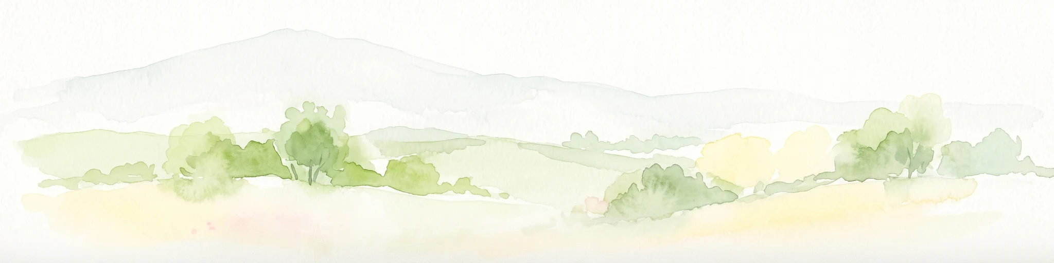
Watercolor painting of a rolling forested landscape with distant hills under a soft light.
Nature reserveHesse
About 5.3 km away#1 closest

North

Erlebach bei Ehlen Nature Reserve: Protected Terrain and Brook Valley Geography in Hesse

Mapped beech forest mosaic and riparian habitat corridors

Located in the Hoher Habichtswald, Erlebach bei Ehlen preserves a distinctive transition between mature beech forest and open grassland valley. This nature reserve serves as an essential case study for understanding riparian ecology, stream-side woodland distribution, and habitat connectivity within the regional topography of Hesse, Germany.

Area
0.342 km²
Established
1996
A watercolor painting in soft pastel tones showing a winding river or path flanked by small clusters of green trees, with gently rolling hills in the background against a white backdrop.
Nature reserveKassel
7.1 km away#2 closest

East

Dönche Nature Reserve: Investigating the Protected Landscapes and Urban Geography of Kassel

Exploring the historic grassland and wetland mosaic in northern Hesse

Dönche serves as a primary example of an inner-city nature reserve in Germany, preserving 170 hectares of open countryside within the Kassel urban fabric. Its landscape is shaped by the Dönchebach and Krebsbach streams, forming a rhythmic structure of ponds, beech wood pastures, and tall herb communities that offer a deep look into regional ecology and historical land use.

Area
1.709 km²
Established
1983
Water
Minor water
A minimalist watercolor painting of rolling hills and a stream, using soft greens, purples, and pale yellows on a white background.
Protected landscapeHesse
About 8.7 km away#3 closest

Southwest

Naturpark Habichtswald: Protected Landscape and Basalt Terrain Atlas in Northern Hesse

Exploration of forested ridges and medieval castle ruins.

Explore the geographic identity of Naturpark Habichtswald, a prominent protected landscape in northern Hesse. This record covers the park's volcanic basalt hills, broad wooded ridges, and the diverse historical ruins that define its unique topographic character across the Habichtswälder Bergland.

Area
474.28 km²
Established
1962
Relief
Mountain
Climate
Temperate
A soft watercolor painting depicting rolling green hills against a faint, light-colored background.
Nature reserveHessen
8.8 km away#4 closest

Northwest

Festberg bei Philippinenthal Nature Reserve: Geography and Protected Landscape Context

A rare calcareous grassland ecosystem in northern Hessen.

Festberg bei Philippinenthal encompasses a ridge of tilted Muschelkalk limestone rising above the Lohbach stream in Hessen. This nature reserve protects a vital combination of juniper heath, dry calcareous grassland, and small-scale forest habitats maintained by historic and modern conservation grazing, offering a clear example of local geology shaping biodiversity.

Area
0.143 km²
Established
1992
IUCN
IV
A horizontal watercolor painting depicting a calm wetland landscape with soft green trees, grassy banks, and rolling hills in the background.
Nature reserveHesse
About 9.2 km away#5 closest

West

Glockenborn bei Bründersen Nature Reserve: Regional Geography and Wetland Protected Areas

A mapped overview of wetland terrain in northern Hesse

Glockenborn bei Bründersen offers a focused look at how managed wetlands integrate into the agricultural landscape of northern Hesse. Known for its distinct shallow lakes and bird-rich environments, this nature reserve serves as an essential case study in ecological restoration and the maintenance of open grazing lands within a protected boundary.

Area
0.07 km²
Established
2004
A pale watercolor painting showing a rolling landscape with soft green hills, scattered trees, and a hazy mountain silhouette against a white background.
Nature reserveHesse
9.4 km away#6 closest

Southwest

Auf den Hesseln bei Naumburg Nature Reserve: Protected Landscape and Geography Atlas

A calcareous grassland mosaic within the Kassel district of Hesse

This protected area in northern Hesse encompasses a complex relief of Triassic mussel limestone slopes and alluvial woodland. The site highlights the importance of managed limestone dry grasslands and former quarry habitats in supporting specialized flora, serving as a concentrated example of habitat diversity within the surrounding agricultural landscape.

Area
0.196 km²
Established
1996
Relief
Upland
Climate
Temperate
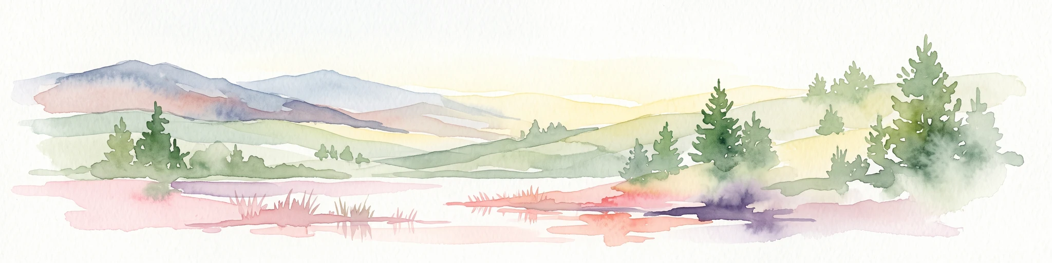
A horizontal watercolor painting depicting a soft, rolling landscape with green hills, conifer trees, and misty purple mountains in the background against a white backdrop.
Nature reserveLandkreis Kassel
About 9.6 km away#7 closest

North

Dörnberg Nature Reserve: Geographic Map and Protected Landscape Overview in Landkreis Kassel

Analyzing the limestone slopes and volcanic terrain of the Dörnberg massif.

Explore the Dörnberg nature reserve through a geographic lens, focusing on its protected status within the Landkreis Kassel region. This area encompasses 116 hectares of steep limestone slopes, supporting a dense collection of calcareous grasslands and rare orchid species. The site is physically defined by its striking Miocene basalt outcrop, providing a clear focal point for studying regional Hessian topography and conservation-led land management.

Area
1.166 km²
Established
1978
Relief
Mountain
Climate
Temperate
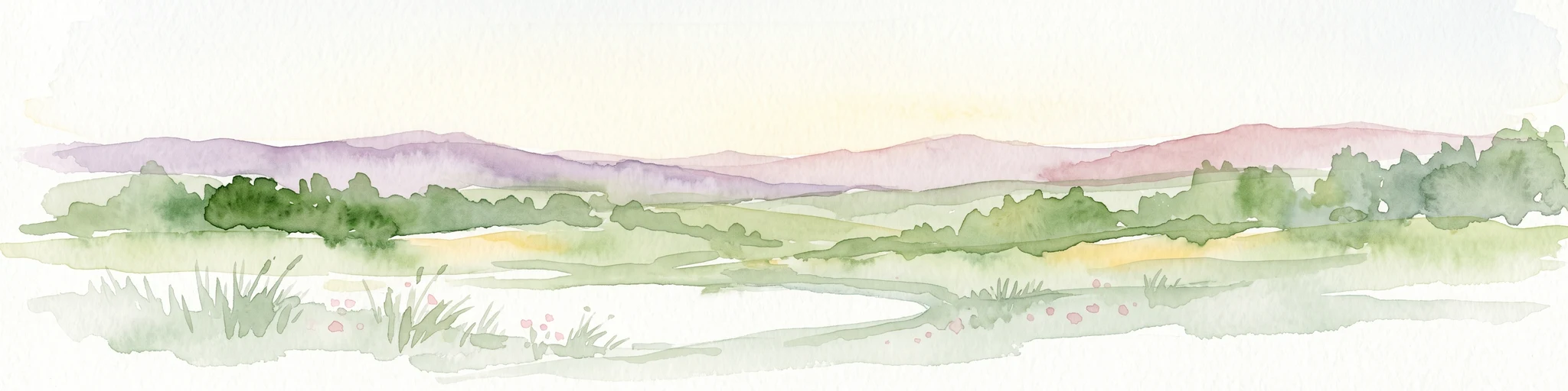
A horizontal watercolor painting showing a soft, hazy landscape with green hills, patches of grass, and purple-tinted distant mountains under a white sky.
Nature reserveLandkreis Kassel
12 km away#8 closest

Northeast

Keischel bei Weimar: Nature Reserve Protected Area and Regional Geography

A calcareous grassland mosaic in the Landkreis Kassel district

Keischel bei Weimar preserves a 19.7-hectare landscape defined by Muschelkalk limestone bedrock and traditional agricultural practices. This nature reserve serves as a critical refuge for specialized flora and insect species, showcasing the value of integrated land management within the broader West Hessian Depression and northern Hesse regional geography.

Area
0.197 km²
Established
1992
Relief
Upland
Climate
Temperate

Common questions about visiting, size, designation, and location context for Langenberger Hute bei Breitenbach

Langenberger Hute bei Breitenbach FAQs for park facts, access, geography, and protected area context

Find quick answers about Langenberger Hute bei Breitenbach, including protected-area facts, park geography, trail and visitor context, and how the park fits into its surrounding country and regional landscape.
MoriAtlas Explorer

Continue Your Protected Areas Search Across the Global Atlas

Deepen your exploration by continuing the structured search for national parks and protected areas worldwide. Utilize the comprehensive filtering capabilities to compare different conservation landscapes and refine your understanding of global park geography. Discover more about the distribution and characteristics of protected natural areas.

Global natural geography