Mori Atlas logo
Park earthquake history

Review documented seismic events and epicentre proximity for this protected landscape

Recorded Earthquake History and Historical Seismic Records for Lincoln National Forest

Access a chronological catalogue of recorded earthquakes associated with the geographic footprint of Lincoln National Forest in southern New Mexico. This collection documents historical seismic events, providing essential data on event dates, magnitudes, and depths for researchers and those tracking regional geology. All information is derived from USGS records, presenting a clear view of past activity relative to the diverse mountain and desert landscapes of the Sacramento, Guadalupe, and Capitan ranges.

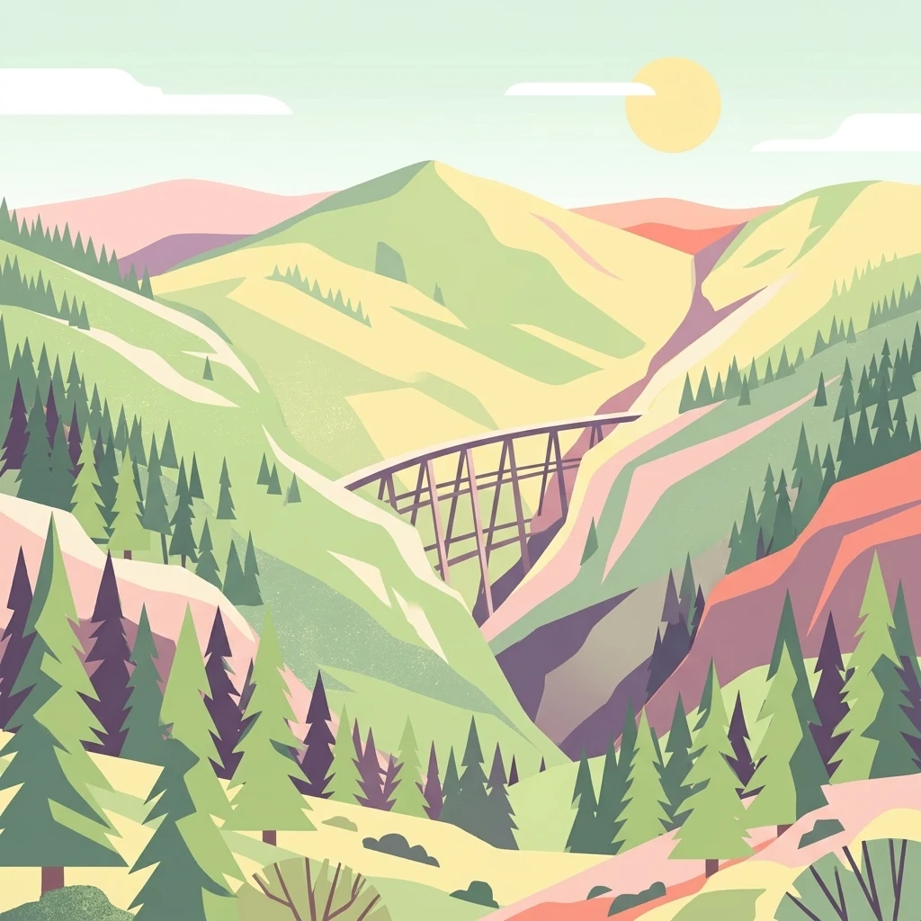
A stylized illustration of a high wooden trestle bridge crossing a steep canyon between two lush green mountain ridges with coniferous trees in the foreground.

A vast southern New Mexico forest spanning desert lowlands to alpine peaks.

Lincoln National Forest

Lincoln National Forest is a unit of the U.S. Forest Service covering about 1.1 million acres in southeastern New Mexico. Stretching from the Chihuahuan Desert lowlands up through forested mountain ranges, the forest protects an unusually wide gradient of environments, from gypsum-sand desert and piñon-juniper woodlands to dense stands of ponderosa pine, Douglas fir, aspen, and sub-alpine grasslands above the tree line. The forest is organized into three ranger districts: the Smokey Bear Ranger District in the Capitan Mountains and White Mountains around Ruidoso and Capitan, the Sacramento Ranger District in the Sacramento Mountains near Cloudcroft, and the Guadalupe Ranger District along the New Mexico side of the Guadalupe Mountains near Carlsbad. Together these districts contain two designated wilderness areas, developed recreation sites, working timber lands, grazing allotments, and popular winter sports areas including Ski Apache. Lincoln National Forest is notable both for its ecological range, which exposes visitors to desert, woodland, and sub-alpine settings within a single reserve, and for its cultural and historical significance. It is the forest where the real Smokey Bear was rescued after the 1950 Capitan Gap fire, and it encompasses the rugged landscapes of Lincoln County, the setting of the violent Lincoln County War of the late 1870s.

Location
United States of America
Park type
Protected landscape
Established
1902
Area
4,467.3 km²
Highest point
3,529 m
Lincoln National Forest Protected Landscape

Explore Lincoln National Forest records by depth and distance

Study recorded earthquakes around Lincoln National Forest

Lincoln National Forest’s earthquake view maps reported epicentres by calculated distance from its southeastern New Mexico boundary, separating the records from Chihuahuan Desert basins and the Sacramento and Guadalupe mountains. Each entry provides a date, magnitude, depth, locality, source, and forest distance for historical comparison without attributing landscape effects, present hazard, or future activity.

Sort by
Magnitude
Location

This page describes catalogued earthquakes associated with the park by epicentre location and distance. It does not establish causation, assess current danger, or predict future earthquakes.

No earthquake records match the current filters

Park atlas

Go beyond Lincoln National Forest earthquake records

Explore other protected destinations beyond Lincoln National Forest

After Lincoln National Forest’s earthquake record, the atlas branches into other protected places beyond southern New Mexico’s Sacramento, Guadalupe, and Capitan mountains, Chihuahuan Desert, forests, grasslands, rivers, and waterfalls. These destinations are not certified national-forest, geographic, geological, or seismic peers, and no matching record volume, source quality, hazard, or present risk is implied.
National parkEddy County
Park boundaries overlap#1 closest

Southeast

Carlsbad Caverns National Park: Detailed Protected Area and Landscape Exploration

View mapped terrain and geographic context for this Eddy County national park.

Gain a deep understanding of Carlsbad Caverns National Park through its specific geographic features and protected landscape identity. This entry provides foundational atlas-level information on the park's mapped boundaries and its role as a designated national park within the broader regional geography of Eddy County. It is designed to offer precise context for users focused on understanding the specific natural terrain and conservation geography of this important protected area, facilitating structured discovery.

Area
189.26 km²
Established
1930
IUCN
II
Visitors
410.8K annual
National parkCulberson County
Park boundaries overlap#2 closest

Southeast

Guadalupe Mountains National Park: Mapped Boundaries and Protected Landscape Identity

Explore the geography and terrain of this Texas national park.

Guadalupe Mountains National Park is a key protected area within Culberson County, West Texas. This national park offers a distinct geographic focus, allowing for detailed exploration of its mapped boundaries and the unique natural landscapes that define its protected status. Understanding its place within the Trans-Pecos region provides valuable context for regional geography and atlas-based discovery of conservation lands in Texas.

Area
349.51 km²
Established
1972
IUCN
II
Visitors
206.4K annual
National parkNew Mexico
19 km away#3 closest

West

White Sands National Park: National Park with Unique Dune Landscape in New Mexico

Explore its protected boundaries and desert geography.

White Sands National Park is a protected national park renowned for its stunning gypsum dunes, offering a unique landscape within New Mexico's geography. This page provides detailed information on its mapped protected area, serving as a valuable resource for understanding the park's specific geographic context and its identity as a significant protected natural landscape.

Area
601.3 km²
Established
2019
IUCN
V
Visitors
729.1K annual
A minimalist watercolor painting depicting soft green rolling hills in the foreground and faded pink mountain ridges in the background on a white paper background.
Protected areaNew Mexico
96 km away#4 closest

North

Manzano Mountain Wilderness: Rugged Protected Landscapes in Central New Mexico

Canyon-scarred mountain geography and forest ecosystems.

Manzano Mountain Wilderness is a significant protected area defined by its deep, radiating canyons and compressed elevational ranges. From pinyon-juniper foothills to the spruce-fir heights of the crest, this landscape offers a detailed look at the varied natural terrain found within the Cibola National Forest in New Mexico.

Area
149.23 km²
Established
1978
IUCN
Ib
Relief
Mountain
Watercolor painting of a gentle, rolling landscape with a small stream, a small waterfall, and scattered trees under a soft, light sky.
Protected landscapeNew Mexico
142 km away#5 closest

North

Santa Fe National Forest: Geographic Atlas and Protected Landscape Overview

New Mexico mountain geography and wilderness mapping

Santa Fe National Forest spans more than 1.5 million acres of Northern New Mexico, featuring a dramatic transition from canyon river systems to the high elevations of the Pecos Wilderness. This protected landscape contains a complex network of forest districts across the Jemez and Sangre de Cristo Mountains, defined by volcanic plateaus, alpine basins, and seasonal aspen forests. Use this resource to understand the park boundaries, regional mountain geography, and the interconnected nature of these protected lands.

Area
6,306.83 km²
Established
1915
Relief
Mountain
Access
Easy access
A horizontal watercolor painting showing distant mountains in shades of purple, soft green rolling hills, a central winding river or stream, and grassy foreground elements on a white background.
Protected landscapeNew Mexico
159 km away#6 closest

West

Gila National Forest: A Geographic Overview of New Mexico's Protected Wilderness Core

Mapped terrain, forest boundaries, and regional wilderness character

Gila National Forest stands as a critical protected landscape in New Mexico, encompassing immense mountain ranges, narrow river gorges, and extensive backcountry basins. This atlas entry details the forest's topographic transition from high-altitude ponderosa stands to desert lowlands, highlighting its status as the foundational site for the global wilderness movement and a stronghold for regional ecological diversity.

Area
10,969.7 km²
Established
1905
Relief
Mountain
Climate
Temperate
A minimalist watercolor painting showing rolling green and yellow hills against a soft, light-colored background.
Wildlife reserveChihuahua
About 190 km away#7 closest

Southwest

Médanos de Samalayuca: Protected Silica Sand Dune Landscapes in Northern Chihuahua

A dynamic desert wildlife reserve and arid natural ecosystem

Located in northern Chihuahua, Médanos de Samalayuca is a protected wildlife reserve centered on a massive, shifting field of fine white silica sand. This desert landscape offers a stark contrast to the surrounding scrublands, providing an essential look at the geological forces and climatic extremes that shape the arid environments of the Chihuahuan Desert.

Area
631.82 km²
Established
2009
Relief
Lowland
Climate
Arid
A horizontal watercolor illustration showing green foreground vegetation, rolling light green hills in the midground, and purple hazy mountains in the background against a white sky.
Wildlife reserveNew Mexico
196 km away#8 closest

West

Gila Wilderness: An In-Depth Look at the Protected Landscape and Geography of New Mexico

Mapped terrain, alpine peaks, and diverse forest ecosystems within the American Southwest

The Gila Wilderness stands as a primary case study in landscape conservation, protecting a massive network of unroaded river canyons and forest-covered mountains in New Mexico. This region serves as a bridge between temperate montane zones and arid desert environments, creating a unique ecological atlas defined by significant altitudinal gradients, volcanic features, and extensive watershed networks across the Mogollon range.

Area
225,820 km²
Established
1924
IUCN
Ib
Relief
Mountain
MoriAtlas Explorer

Examine the Mapped Terrain of Lincoln National Forest in New Mexico

Deepen your understanding of this expansive protected landscape by exploring the geographic connections between its desert basins and high-mountain forests. Use the MoriAtlas resources to trace the complex boundaries and environmental transitions found throughout the Sacramento and Capitan ranges in southeastern New Mexico.